Coed Ty-mawr

Wood, Forest in Montgomeryshire

Wales

Coed Ty-mawr

Hairpin bend, forestry road, Dovey Forest
Hairpin bend, forestry road, Dovey Forest Credit: Steven Brown

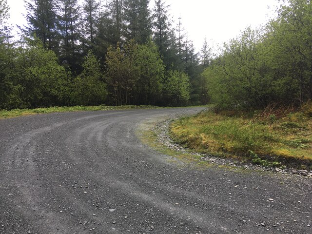
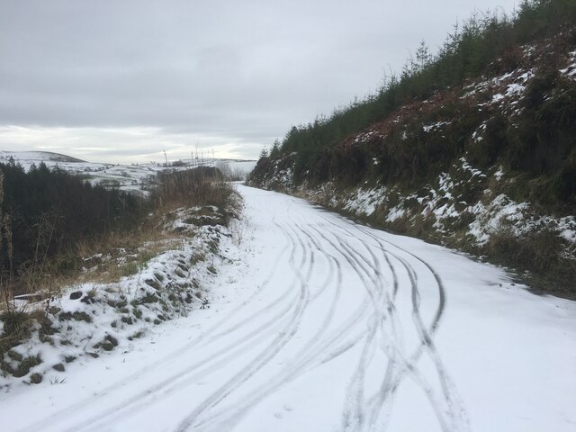
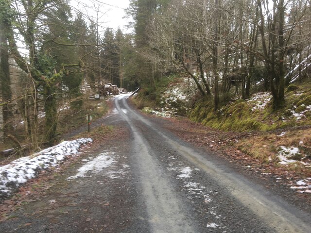
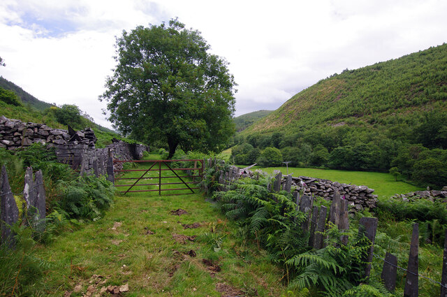
Coed Ty-mawr, located in Montgomeryshire, is a beautiful woodland area known for its scenic beauty and rich biodiversity. Covering an area of approximately 100 acres, this forest is a haven for nature enthusiasts, offering a range of activities and attractions for visitors of all ages.

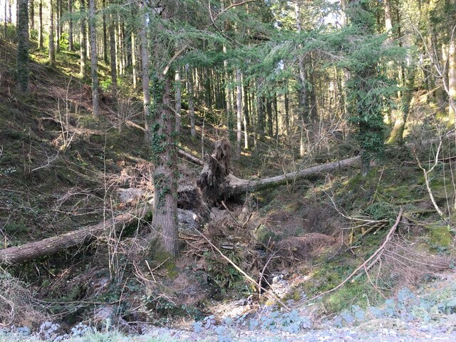
The woodland is predominantly composed of native tree species such as oak, beech, and birch, creating a diverse and vibrant ecosystem. Walking trails wind through the forest, allowing visitors to explore its enchanting landscape and discover its hidden treasures. The forest is home to a wide variety of flora and fauna, including rare plants, birds, and mammals, making it a popular destination for wildlife spotting.

Coed Ty-mawr offers recreational opportunities for outdoor enthusiasts, with picnic areas and designated camping spots available for those looking to spend a night immersed in nature. The forest also features a network of mountain biking trails, providing an adrenaline-pumping experience for cycling enthusiasts.

In addition to its natural beauty, Coed Ty-mawr also has historical significance. The forest is home to several ancient monuments, including burial mounds and stone circles, offering a glimpse into the area's rich cultural heritage.

Managed by the local authorities, Coed Ty-mawr is committed to conservation and sustainability. Efforts are made to preserve the forest's unique ecosystem and promote educational programs that highlight the importance of environmental stewardship.

Overall, Coed Ty-mawr is a gem in Montgomeryshire, offering a tranquil escape from the hustle and bustle of everyday life. With its stunning scenery, diverse wildlife, and recreational opportunities, it is a must-visit destination for nature lovers and outdoor enthusiasts alike.

If you have any feedback on the listing, please let us know in the comments section below.

Coed Ty-mawr Images

Images are sourced within 2km of 52.649718/-3.811586 or Grid Reference SH7707. Thanks to Geograph Open Source API. All images are credited.

Hairpin bend, forestry road, Dovey Forest
Forestry, Dyfi Forest
Snowy forestry road in the Dyfi Forest
Forestry road in the Dyfi Forest
Forestry road near Penlan
Route of Corris Railway The narrow gauge Corris Railway was built to carry slate from local quarries to Machynlleth and quays on the Dovey estuary. The line closed in 1948.
Route of Corris Railway
The narrow gauge Corris Railway was built to carry slate from local quarries to Machynlleth and quays on the Dovey estuary. The line closed in 1948.
Water and other utility supplies for Caecenau houses There is a powerline on this side of the river so the black pipe might not carry an electrical cable.
Water and other utility supplies for Caecenau houses
There is a powerline on this side of the river so the black pipe might not carry an electrical cable.
Slate shed at Caecernau This farm building is made of a timber frame to which are nailed rectangular  sheets of slate about 3/4" thick. The roof is made of "slates" of a similar thickness. The stone probably came from the nearby Aberllefenni quarries.
Slate shed at Caecernau
This farm building is made of a timber frame to which are nailed rectangular sheets of slate about 3/4" thick. The roof is made of "slates" of a similar thickness. The stone probably came from the nearby Aberllefenni quarries.
Track in Dyfi Forest Taking during Rally GB 2011.
Track in Dyfi Forest
Taking during Rally GB 2011.
A wet byway in the Dyfi Forest Regular puddles about a foot deep, with the occasional one that looks bottomless when you approach on a mountain bike; having a new bike is a good excuse to mince round the side!
A wet byway in the Dyfi Forest
Regular puddles about a foot deep, with the occasional one that looks bottomless when you approach on a mountain bike; having a new bike is a good excuse to mince round the side!
Bend in Dyfi Forest
Bend in Dyfi Forest
Site of Garneddwen station View NE up the Afon Dulas valley, towards Aberllefeni. Until closed from 21/8/48 (passengers from 1/1/31), the narrow-gauge Corris Railway on its way from Machynlleth to Aberllefeni ran parallel to the road and crossed it here, but it is uncertain whether Garneddwen station was on the left or right.

(Update August 2020 - The 1901 OS 1:2,500 scale map shows that the station buildings, such as they were, were located on the left side of the railway and road here. The map also shows that the railway passed immediately to the right of the front garden walls, along what is now the road with the red car.)
Site of Garneddwen station
View NE up the Afon Dulas valley, towards Aberllefeni. Until closed from 21/8/48 (passengers from 1/1/31), the narrow-gauge Corris Railway on its way from Machynlleth to Aberllefeni ran parallel to the road and crossed it here, but it is uncertain whether Garneddwen station was on the left or right. (Update August 2020 - The 1901 OS 1:2,500 scale map shows that the station buildings, such as they were, were located on the left side of the railway and road here. The map also shows that the railway passed immediately to the right of the front garden walls, along what is now the road with the red car.)
Houses in Abercorris, Corris Looking east across the valley to the wooded slopes of Mynydd Fron felen.
Houses in Abercorris, Corris
Looking east across the valley to the wooded slopes of Mynydd Fron felen.
Afon Dulas at Abercorris Looking downstream [south] from Pont Abercorris. The river is a county boundary here - Powys / Montgomery to the left [east], Gwynedd / Meirionnydd to the right [west].
Afon Dulas at Abercorris
Looking downstream [south] from Pont Abercorris. The river is a county boundary here - Powys / Montgomery to the left [east], Gwynedd / Meirionnydd to the right [west].
The Dulas valley Looking upstream [north] from Pont Abercorris.
The Dulas valley
Looking upstream [north] from Pont Abercorris.
Area of felled woodland, Coed Fron felin Looking across the Afon Dulas valley from the Corris Railway.
Area of felled woodland, Coed Fron felin
Looking across the Afon Dulas valley from the Corris Railway.
House off Minfordd Street, Corris Actually over the county border in Powys, as it is on the east bank of the Afon Dulas.
House off Minfordd Street, Corris
Actually over the county border in Powys, as it is on the east bank of the Afon Dulas.
Show me another place!

Coed Ty-mawr is located at Grid Ref: SH7707 (Lat: 52.649718, Lng: -3.811586)

Unitary Authority: Powys

Police Authority: Dyfed Powys

What 3 Words

///action.snooping.noodle. Near Corris, Gwynedd

Nearby Locations

Coed Ty-mawr

Related Wikis

Garneddwen

Garneddwen (also known as Garnedd-Wen; English: white cairn) is a hamlet in the south of the county of Gwynedd, Wales. It lies in the historic county of...

Afon Deri

The Afon Deri (sometimes known as the Afon Corris) is a river in Mid Wales. It flows from the eastern flank of Mynydd Ty-Glas down to Corris, where it...

Corris

Corris is a village in the county of Gwynedd, Wales, about 4.5 miles (7 km) north of the town of Machynlleth. The village lies on the west bank of the...

Esgairgeiliog

Esgairgeiliog (also known as Ceinws) is a village in Powys (formerly Montgomeryshire), Wales, UK. It is situated at the junction of the Afon Glesyrch's...

Have you been to Coed Ty-mawr?

Leave your review of Coed Ty-mawr below (or comments, questions and feedback).