Coed Maesnewyddion
Wood, Forest in Caernarfonshire
Wales
Coed Maesnewyddion
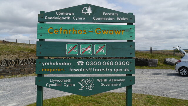
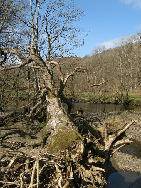
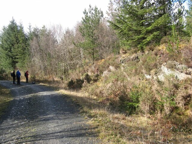
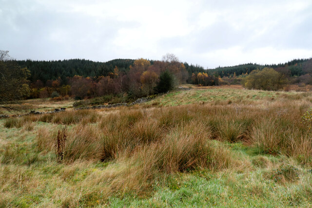
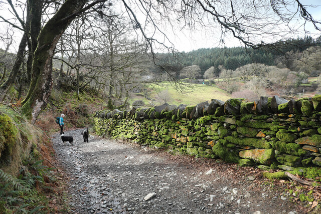
Coed Maesnewyddion, located in Caernarfonshire, is a picturesque wood or forest that offers visitors a serene and enchanting natural environment. Situated in the beautiful landscape of Wales, this woodland area covers a significant area of land and is known for its diverse range of flora and fauna.
With its dense green canopy and towering trees, Coed Maesnewyddion provides a haven for various wildlife species. The forest is home to a wide array of bird species, including woodpeckers, owls, and songbirds, making it a popular spot for birdwatchers. Additionally, visitors may be lucky enough to spot mammals such as deer, foxes, and squirrels while exploring the forest trails.
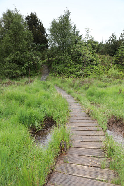
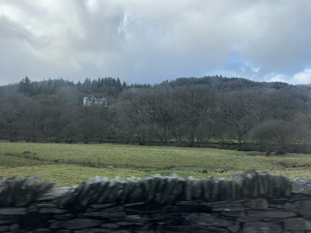
The woodland offers visitors a range of walking paths and trails, allowing them to immerse themselves in the natural beauty of the surroundings. Whether it's a leisurely stroll or a more challenging hike, Coed Maesnewyddion caters to all levels of outdoor enthusiasts. The forest boasts breathtaking views of the Welsh countryside, with rolling hills and valleys providing a stunning backdrop.
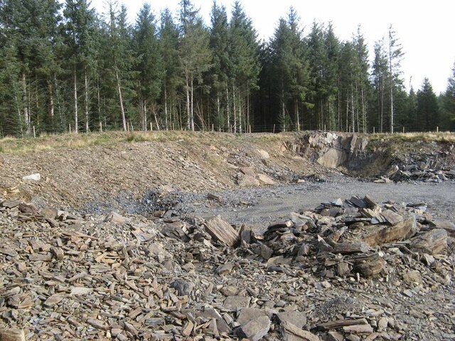
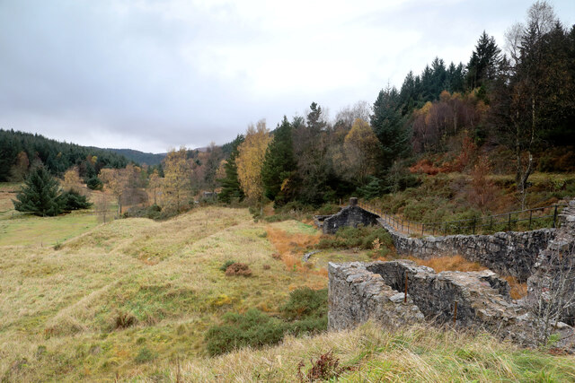
Coed Maesnewyddion also holds historical significance, with remnants of ancient settlements and structures scattered throughout the woodland. These archaeological features add an intriguing element to the forest, attracting history buffs and curious explorers alike.
Visitors to Coed Maesnewyddion can expect a peaceful and tranquil experience, as the forest provides an escape from the hustle and bustle of everyday life. The sounds of rustling leaves and chirping birds create a soothing ambiance, making it an ideal destination for those seeking solace in nature.
If you have any feedback on the listing, please let us know in the comments section below.
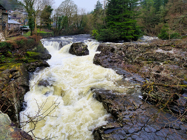
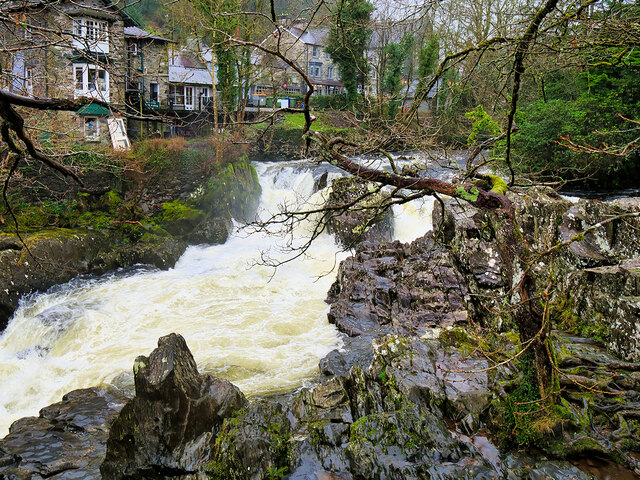
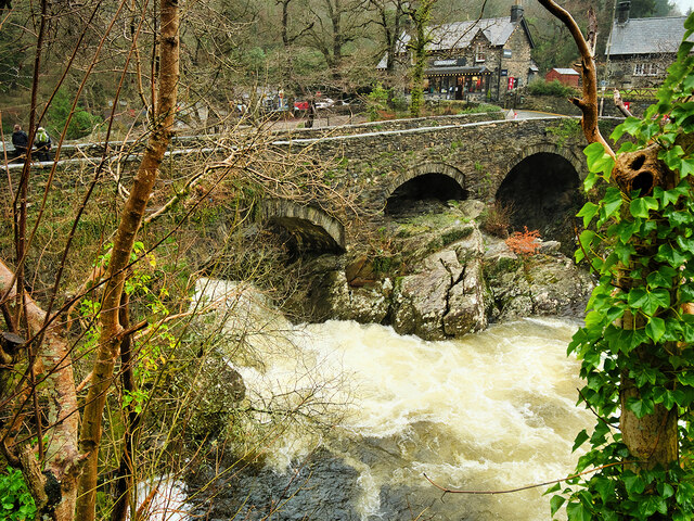
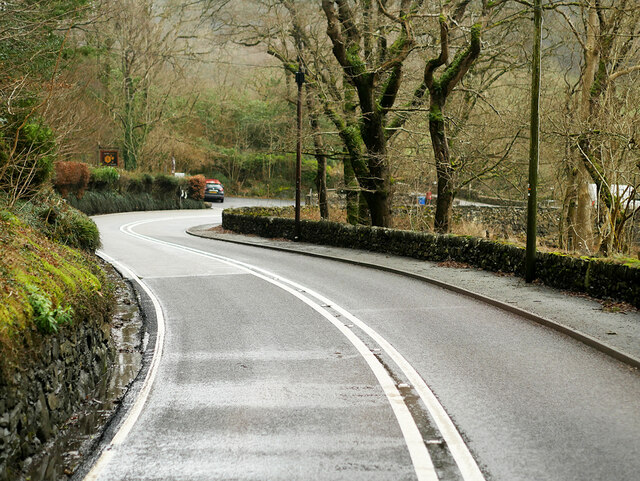
Coed Maesnewyddion Images
Images are sourced within 2km of 53.09628/-3.8338959 or Grid Reference SH7757. Thanks to Geograph Open Source API. All images are credited.

Coed Maesnewyddion is located at Grid Ref: SH7757 (Lat: 53.09628, Lng: -3.8338959)
Unitary Authority: Conwy
Police Authority: North Wales
What 3 Words
///jolly.exulted.scarecrow. Near Betws-y-Coed, Conwy
Nearby Locations
Related Wikis
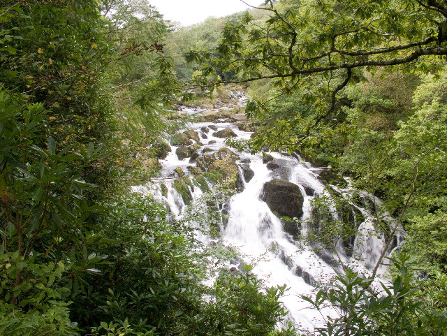
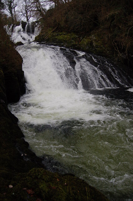
Swallow Falls
Swallow Falls is an English name for the Welsh Rhaeadr y Wennol, also known as Rhaeadr Ewynnol (English: 'the foaming waterfall'), a multiple waterfall...
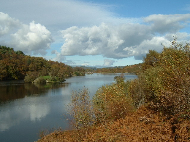
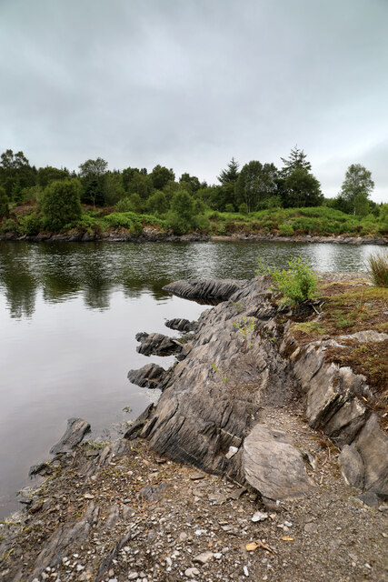
Llyn Elsi
Llyn Elsi is a lake located above the village of Betws-y-coed in the Snowdonia National Park in North Wales. It is a reservoir providing water for the...

St Mary's Church, Betws-y-Coed
St Mary's Church, Betws-y-Coed, is in the village of Betws-y-Coed, Conwy, Wales. It is an active Anglican parish church of the Church in Wales, in the...

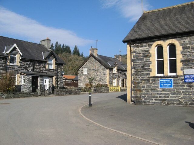
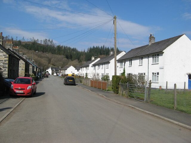
Betws-y-Coed
Betws-y-coed (Welsh: [ˈbɛtʊs ə ˈkoːɨ̯d] ; meaning 'prayer-house in the wood') is a village and community in the Conwy valley in Conwy County Borough, Wales...

Betws-y-Coed railway station
Betws-y-coed railway station is on the Conwy Valley Line, which runs between Llandudno and Blaenau Ffestiniog. It is situated 15+1⁄2 miles (24.9 km) south...

Llyn Goddionduon
Llyn Goddionduon is a remote lake in the Gwydir Forest in north Wales. It lies at a height of 794 ft (242 m) and covers an area of 10 acres (40,000 m2...

Llyn Bodgynydd
Llyn Bodgynydd is a lake in the Gwydir Forest in North Wales. It covers an area of some 14 acres (57,000 m2), and lies at a height of 822 feet (251 m)...

Llyn Parc
Llyn Parc (also known as "Llyn y Parc") is a lake in the Gwydir Forest in North Wales. Lying at a height of 664 feet, it covers an area of 22 acres (89...
Nearby Amenities
Located within 500m of 53.09628,-3.8338959Have you been to Coed Maesnewyddion?
Leave your review of Coed Maesnewyddion below (or comments, questions and feedback).