Coed Ffrîdd

Wood, Forest in Caernarfonshire

Wales

Coed Ffrîdd

Agapanthus (African Lily) A South African perennial plant, resplendent at the entrance to the castle car park.
Agapanthus (African Lily) Credit: Richard Hoare

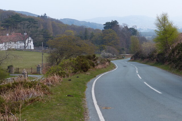
Coed Ffrîdd, located in Caernarfonshire, Wales, is a picturesque woodland known for its natural beauty and diverse ecosystem. Spanning approximately 200 hectares, this enchanting forest is nestled within the Snowdonia National Park, offering visitors a tranquil and captivating experience.

The woodland is characterized by its rich variety of tree species, including oak, beech, birch, and conifers. These towering trees create a dense canopy that provides shelter to numerous wildlife species. Among the animals that call Coed Ffrîdd home are red squirrels, badgers, foxes, and a wide range of bird species such as woodpeckers, owls, and finches.

The forest boasts a network of well-maintained trails that meander through its lush greenery, allowing visitors to explore its natural wonders. These paths cater to different abilities, offering options for leisurely strolls or more challenging hikes. Along the way, visitors can discover hidden streams, small waterfalls, and breathtaking panoramic views of the surrounding countryside.

Coed Ffrîdd is not only a haven for nature enthusiasts but also a site of historical significance. Within its boundaries, remnants of ancient settlements and burial sites have been uncovered, offering a glimpse into the area's past. These archaeological discoveries add an extra layer of intrigue and fascination to the forest's allure.

Whether visitors seek solace in nature, wish to engage in outdoor activities, or want to immerse themselves in history, Coed Ffrîdd is a destination that caters to all. With its serene atmosphere and captivating scenery, this woodland is a true gem of Caernarfonshire, attracting nature lovers and explorers from near and far.

If you have any feedback on the listing, please let us know in the comments section below.

Coed Ffrîdd Images

Images are sourced within 2km of 53.283763/-3.8419466 or Grid Reference SH7777. Thanks to Geograph Open Source API. All images are credited.

Agapanthus (African Lily) A South African perennial plant, resplendent at the entrance to the castle car park.
Agapanthus (African Lily)
A South African perennial plant, resplendent at the entrance to the castle car park.
Conwy Bay sunset A fine, clear sky for the first time in a couple of weeks made for a spectacular solar descent into terrain - and a reminder just how far the year  has advanced.
Conwy Bay sunset
A fine, clear sky for the first time in a couple of weeks made for a spectacular solar descent into terrain - and a reminder just how far the year has advanced.
Spring tide view A view of the Afon Conwy at a spring low tide. After weeks of drizzle and gloom it was a joy to be out in the evening sun. Low spring tides are always at around 1800h UTC, so a fine start or end to the day is required for such a trip.
Spring tide view
A view of the Afon Conwy at a spring low tide. After weeks of drizzle and gloom it was a joy to be out in the evening sun. Low spring tides are always at around 1800h UTC, so a fine start or end to the day is required for such a trip.
Channel marker buoy There is something alarming about finding a channel marker buoy aground at low tide, but then the map extract does not indicate dry land here anyway! The height of the dune bedding here gives some idea of water depth and the speed of the ebbing tide. I was surprised to find that all of my spaniel assistants and their house-guests are somewhere in this image.
Channel marker buoy
There is something alarming about finding a channel marker buoy aground at low tide, but then the map extract does not indicate dry land here anyway! The height of the dune bedding here gives some idea of water depth and the speed of the ebbing tide. I was surprised to find that all of my spaniel assistants and their house-guests are somewhere in this image.
Spring tide sandbanks A spring tide gives an opportunity to view at close quarters the new sandbank which is growing on the west side of the Conwy estuary. Over the past year it has become obvious that the tidal flow in the river is changing, and the channel now veers eastwards to the north of Bodlondeb Point around this large, new sandbank with its active dune field, while those on the Deganwy side have been bisected by a new channel and largely removed. See <a href="https://www.geograph.org.uk/photo/6450571">SH7878 : Drying moorings</a> for an excursion no longer possible!
Spring tide sandbanks
A spring tide gives an opportunity to view at close quarters the new sandbank which is growing on the west side of the Conwy estuary. Over the past year it has become obvious that the tidal flow in the river is changing, and the channel now veers eastwards to the north of Bodlondeb Point around this large, new sandbank with its active dune field, while those on the Deganwy side have been bisected by a new channel and largely removed. See SH7878 : Drying moorings for an excursion no longer possible!
Sandbanks with dunes The speed and power of the ebb tide can be appreciated from the size of the sand dunes which make up the new ground exposed at low tide on the west side of the estuary. While somewhat sinuous, the dunes all face northward. I have long questioned whether the flood tide creates features which face south, as might be expected? I loved the perfect tracks of a sea birds which have walked along the smooth edge of the dunes.
Sandbanks with dunes
The speed and power of the ebb tide can be appreciated from the size of the sand dunes which make up the new ground exposed at low tide on the west side of the estuary. While somewhat sinuous, the dunes all face northward. I have long questioned whether the flood tide creates features which face south, as might be expected? I loved the perfect tracks of a sea birds which have walked along the smooth edge of the dunes.
Sychnant Pass Road towards Conwy On the left is the Sychnant Pass Country House Hotel.
Sychnant Pass Road towards Conwy
On the left is the Sychnant Pass Country House Hotel.
Sychnant Pass Road towards Conwy
Horses at Tyrau-Duon
Sychnant Pass Road towards Conwy
Sheep at Mount Pleasant, Conwy
Sychnant Pass Road at Conwy
Conwy town walls The walls were built during the reign of Edward I of England, between 1283 and 1289.
Conwy town walls
The walls were built during the reign of Edward I of England, between 1283 and 1289.
Upper Gate and town walls at Conwy The walls were built during the reign of Edward I of England, between 1283 and 1289.
Upper Gate and town walls at Conwy
The walls were built during the reign of Edward I of England, between 1283 and 1289.
Upper Gate Street in Conwy
Conwy Railway Station With the backdrop of the Upper Gate and town walls.
Conwy Railway Station
With the backdrop of the Upper Gate and town walls.
Boats moored on the River Conwy The River Conway (Afon Conwy) rises on the Migneint Moors and flows northward for 27 miles to its mouth at Conwy.
Wikipedia: <span class="nowrap"><a title="http://en.wikipedia.org/wiki/River_Conwy" rel="nofollow ugc noopener" href="http://en.wikipedia.org/wiki/River_Conwy">Link</a><img style="margin-left:2px;" alt="External link" title="External link - shift click to open in new window" src="https://s1.geograph.org.uk/img/external.png" width="10" height="10"/></span>
Boats moored on the River Conwy
The River Conway (Afon Conwy) rises on the Migneint Moors and flows northward for 27 miles to its mouth at Conwy. Wikipedia: LinkExternal link
Show me another place!

Coed Ffrîdd is located at Grid Ref: SH7777 (Lat: 53.283763, Lng: -3.8419466)

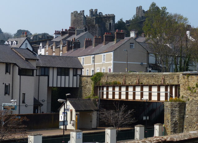
Unitary Authority: Conwy

Police Authority: North Wales

What 3 Words

///marble.treaties.golden. Near Conwy

Related Wikis

Conwy Hospital

Conwy Hospital (Welsh: Ysbyty Conwy) was a community hospital in Conwy, Wales. It was managed by the Conwy & Denbighshire NHS Trust. == History == The...

Conwy town walls

Conwy's town walls are a medieval defensive structure around the town of Conwy in Wales. The walls were constructed between 1283 and 1287 after the foundation...

Ysgol Aberconwy

Ysgol Aberconwy is a medium-sized, mixed comprehensive school for ages 11 to 18, on the Conwy estuary on the North Wales coast. The school is two minutes...

Bodlondeb Woods

Boldondeb Woods is a woodland local nature reserve in Conwy, Wales. Located on the western shore of the Conwy estuary, the woodland is a mix of coniferous...

Nearby Amenities

Located within 500m of 53.283763,-3.8419466
Tourism: viewpoint
Lat/Long: 53.2842454/-3.8460911
Turning Circle
Lat/Long: 53.2819422/-3.836181
Traffic Calming: cushion
Lat/Long: 53.2869924/-3.8384073
Crossing
Crossing: traffic_signals
Crossing Ref: pelican
Kerb: flush
Tactile Paving: no
Lat/Long: 53.2849864/-3.8385373
Bus Stop
Bay: yes
Bus: yes
Public Transport: platform
Shelter: no
Timetable: yes
Lat/Long: 53.2851705/-3.839733
Telephone
Booth: KX100
Covered: booth
Image: https://www.bing.com/maps?osid=e8b0331e-7fc1-4c93-8529-3c4edf7bc4b6&cp=53.285484~-3.841418&lvl=19&dir=297.07578&pi=-3.6897159&style=x&mo=z.1.85&v=2&sV=2&form=S00027
Lat/Long: 53.2856123/-3.8417739
Bus Stop
Bus: yes
Public Transport: platform
Shelter: no
Timetable: yes
Lat/Long: 53.2857048/-3.848488
Note: https://www.youtube.com/watch?v=XUYQxOCQqsA 51:17
Lat/Long: 53.2827359/-3.8348965
Power: pole
Lat/Long: 53.2811016/-3.8451982
Power: pole
Lat/Long: 53.2823268/-3.8469149
Power: pole
Lat/Long: 53.2824198/-3.8479341
Power: pole
Lat/Long: 53.2821985/-3.8417006
Power: pole
Lat/Long: 53.2809284/-3.8462448
Power: pole
Substation: minor_distribution
Lat/Long: 53.2822017/-3.8457835
Power: pole
Lat/Long: 53.2825706/-3.8404507
Power: pole
Lat/Long: 53.281541/-3.8438952
Power: pole
Lat/Long: 53.2819466/-3.8425981
Power: pole
Lat/Long: 53.2807681/-3.8473177
Power: pole
Lat/Long: 53.2825289/-3.8489903
Grit Bin
Lat/Long: 53.2810568/-3.8369553
Grit Bin
Lat/Long: 53.2819823/-3.8372802
Grit Bin
Lat/Long: 53.2834012/-3.8382779
Power: substation
Lat/Long: 53.282141/-3.837184
Power: substation
Lat/Long: 53.285952/-3.842982
Pub
The Old White House
Addr City: Conwy
Addr Country: GB
Addr Housename: White House Hotel
Addr Postcode: LL32 8DP
Addr Street: Bangor Road
Fhrs Authority: Conwy
Fhrs Id: 55161
Fhrs Local Authority Id: 12446
Name En: The Old White House
Wikidata: Q80583403
Lat/Long: 53.2849007/-3.8429564
Whinward House
Addr City: Conwy
Addr Country: GB
Addr Housenumber: 33
Addr Postcode: LL32 8ET
Addr Street: Whinacres
Fhrs Authority: Conwy
Fhrs Local Authority Id: 58014
Name En: Whinward House
Old Fhrs Id: 815087
Tourism: guest_house
Lat/Long: 53.287322/-3.8415563
Morfa Stores
Shop: convenience
Lat/Long: 53.2868858/-3.8453047
Post Box
Collection Times: Mo-Fr 09:00; Sa 07:00
Operator: Royal Mail
Operator Wikidata: Q638098
Post Box Mounting: pier
Post Box Type: lamp
Ref: LL32 2D
Royal Cypher: EIIR
Royal Cypher Wikidata: Q33102113
Lat/Long: 53.2854601/-3.8382881
Barrier: kissing_gate
Lat/Long: 53.279441/-3.8407154
Barrier: kissing_gate
Lat/Long: 53.2819153/-3.8439667
Traffic Calming: cushion
Lat/Long: 53.2877017/-3.8386281
Stop
Direction: forward
Stop: minor
Lat/Long: 53.2855311/-3.8415381
Barrier: cycle_barrier
Bicycle: no
Foot: yes
Lat/Long: 53.288089/-3.8410609
The data included in this document is from www.openstreetmap.org. The data is made available under ODbL.

Have you been to Coed Ffrîdd?

Leave your review of Coed Ffrîdd below (or comments, questions and feedback).