Coed Diosgydd
Wood, Forest in Caernarfonshire
Wales
Coed Diosgydd

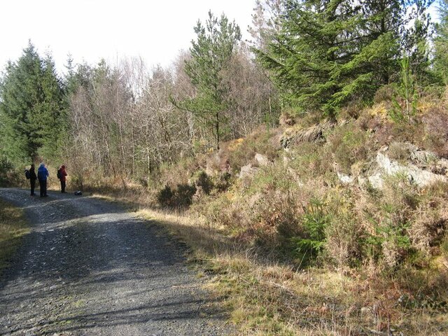
Coed Diosgydd, located in Caernarfonshire, Wales, is a picturesque woodland area with a rich history and diverse ecosystem. Covering an area of approximately 500 acres, it is a significant natural reserve in the region.
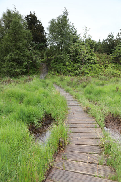
The woodland is primarily made up of native tree species such as oak, birch, and beech, creating a dense and vibrant canopy that provides a habitat for a wide range of flora and fauna. The forest floor is carpeted with lush ferns, mosses, and wildflowers, adding to the beauty and biodiversity of the area.
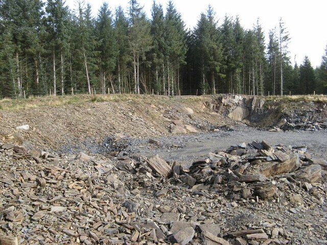
Coed Diosgydd has a long history of human interaction, with evidence of ancient settlements dating back to the Bronze Age. The woodland was once an important source of timber for the local community and was managed sustainably for centuries. Today, it serves as a recreational area for nature enthusiasts, offering various walking trails and picnic spots.
The forest is home to a diverse range of wildlife, including rare bird species such as the redstart and pied flycatcher. Mammals like badgers, foxes, and bats can also be spotted within the woodland. Additionally, the forest supports a variety of insect life, with butterflies and dragonflies being particularly abundant during the summer months.
Coed Diosgydd is not only a natural treasure but also an important site for conservation efforts. The area is carefully managed to protect and enhance its ecological value, ensuring that future generations can continue to enjoy its beauty and biodiversity.
If you have any feedback on the listing, please let us know in the comments section below.
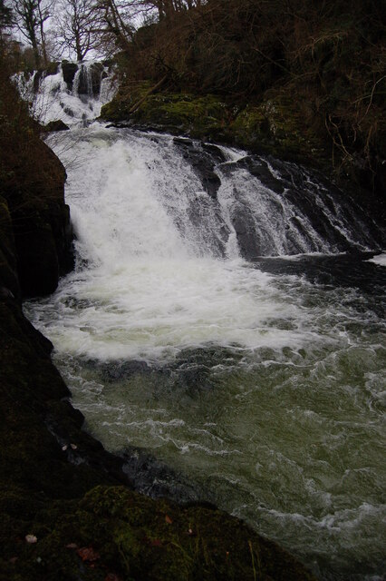
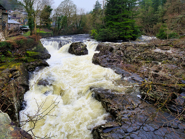
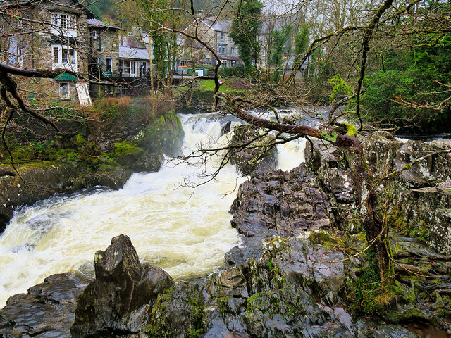
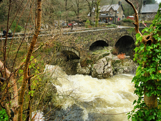
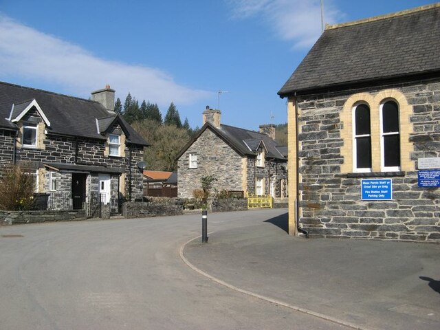
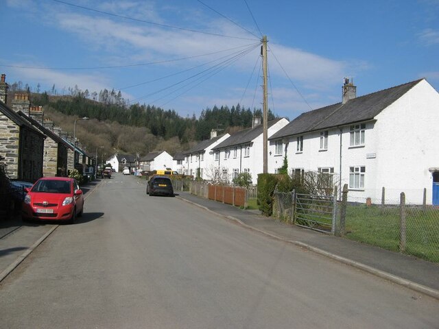
Coed Diosgydd Images
Images are sourced within 2km of 53.099872/-3.8248177 or Grid Reference SH7757. Thanks to Geograph Open Source API. All images are credited.


Coed Diosgydd is located at Grid Ref: SH7757 (Lat: 53.099872, Lng: -3.8248177)
Unitary Authority: Conwy
Police Authority: North Wales
What 3 Words
///detect.devalued.padlock. Near Betws-y-Coed, Conwy
Nearby Locations
Related Wikis
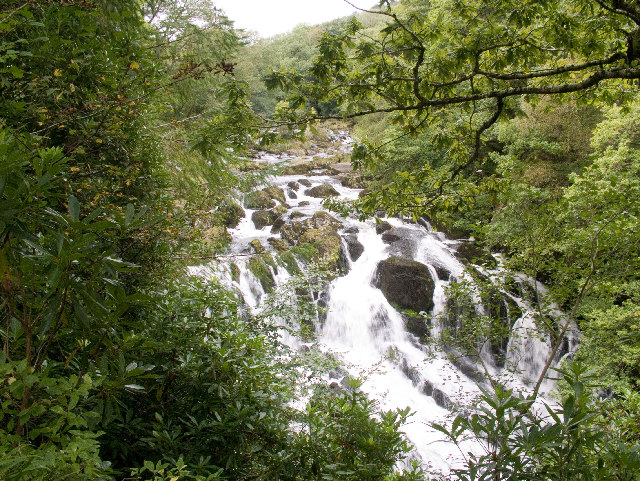
Swallow Falls
Swallow Falls is an English name for the Welsh Rhaeadr y Wennol, also known as Rhaeadr Ewynnol (English: 'the foaming waterfall'), a multiple waterfall...

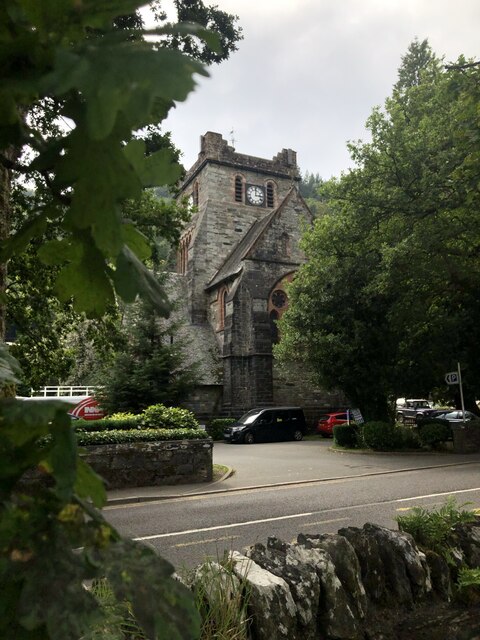
St Mary's Church, Betws-y-Coed
St Mary's Church, Betws-y-Coed, is in the village of Betws-y-Coed, Conwy, Wales. It is an active Anglican parish church of the Church in Wales, in the...

Betws-y-Coed
Betws-y-coed (Welsh: [ˈbɛtʊs ə ˈkoːɨ̯d] ; meaning 'prayer-house in the wood') is a village and community in the Conwy valley in Conwy County Borough, Wales...

Betws-y-Coed railway station
Betws-y-coed railway station is on the Conwy Valley Line, which runs between Llandudno and Blaenau Ffestiniog. It is situated 15+1⁄2 miles (24.9 km) south...

Llyn Parc
Llyn Parc (also known as "Llyn y Parc") is a lake in the Gwydir Forest in North Wales. Lying at a height of 664 feet, it covers an area of 22 acres (89...
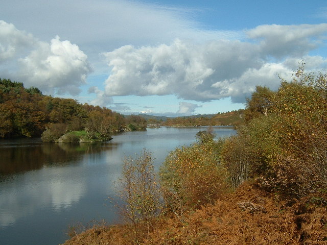
Llyn Elsi
Llyn Elsi is a lake located above the village of Betws-y-coed in the Snowdonia National Park in North Wales. It is a reservoir providing water for the...

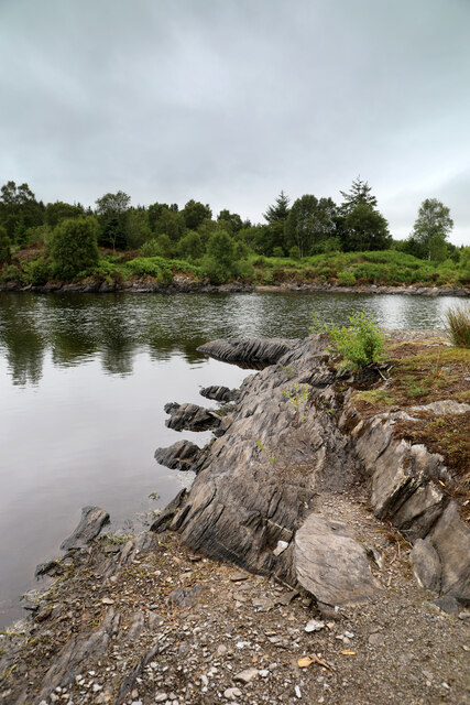
River Llugwy
River Llugwy (Welsh: Afon Llugwy) is a tributary of the River Conwy, and has its source at Ffynnon Llugwy, a lake in the Carneddau range of mountains in...
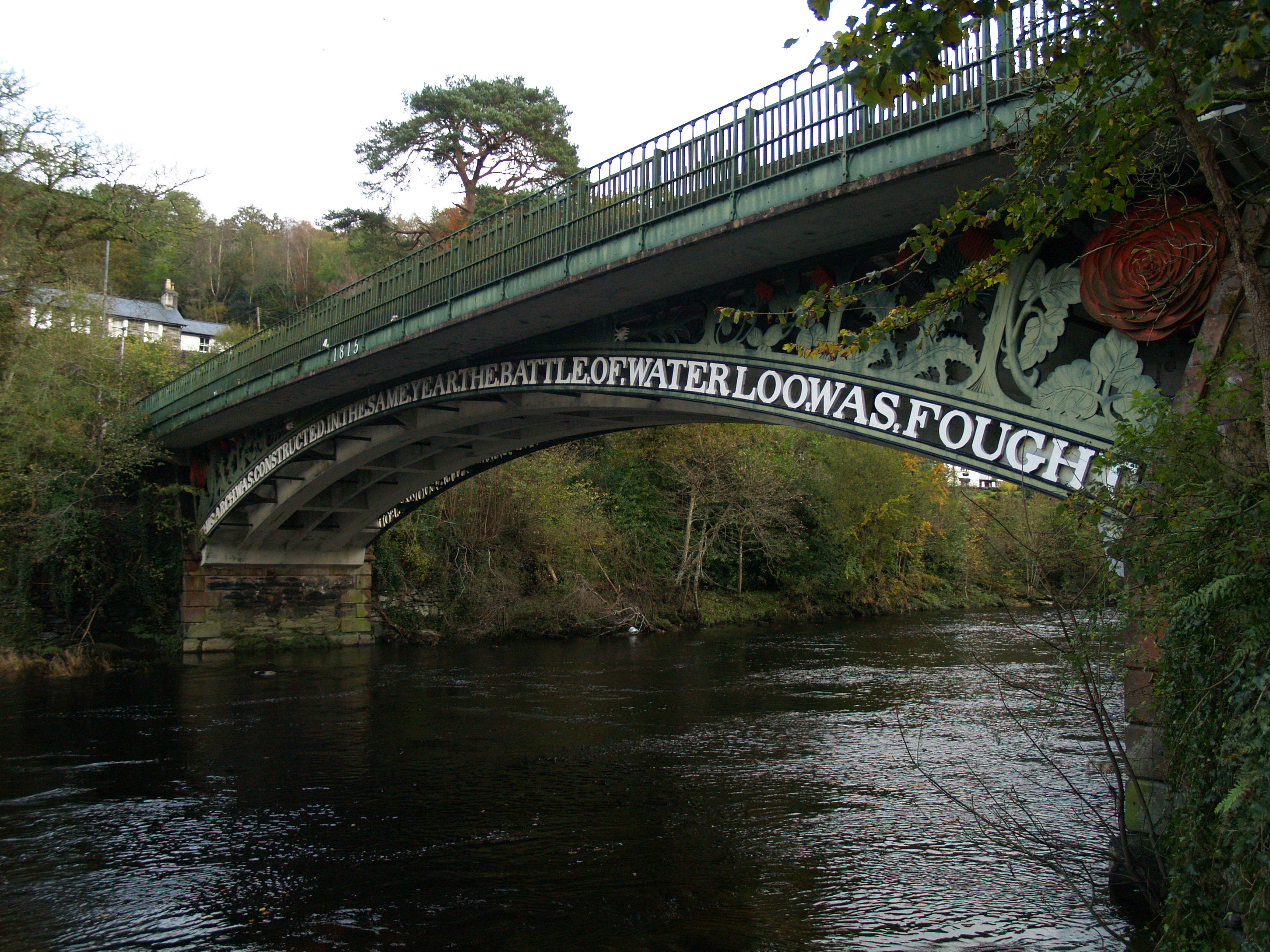
Waterloo Bridge, Betws-y-Coed
Waterloo Bridge (Welsh: Pont Waterloo) is an early cast iron bridge, spanning the River Conwy at Betws-y-Coed, in Conwy county borough, north-west Wales...
Nearby Amenities
Located within 500m of 53.099872,-3.8248177Have you been to Coed Diosgydd?
Leave your review of Coed Diosgydd below (or comments, questions and feedback).