Shelone Wood

Wood, Forest in Glamorgan

Wales

Shelone Wood

Traffic congestion at the M4/A465 junction
Traffic congestion at the M4/A465 junction Credit: Eirian Evans

Shelone Wood is a picturesque forest located in Glamorgan, Wales. It is known for its dense foliage, diverse wildlife, and tranquil atmosphere, making it a popular destination for nature enthusiasts and hikers alike.

Covering an area of approximately 200 acres, Shelone Wood is home to a variety of tree species, including oak, birch, and beech, which create a stunning canopy that provides shade and shelter for the forest floor. The forest is especially beautiful during the autumn months when the leaves change color, painting the landscape with vibrant hues of red, orange, and gold.

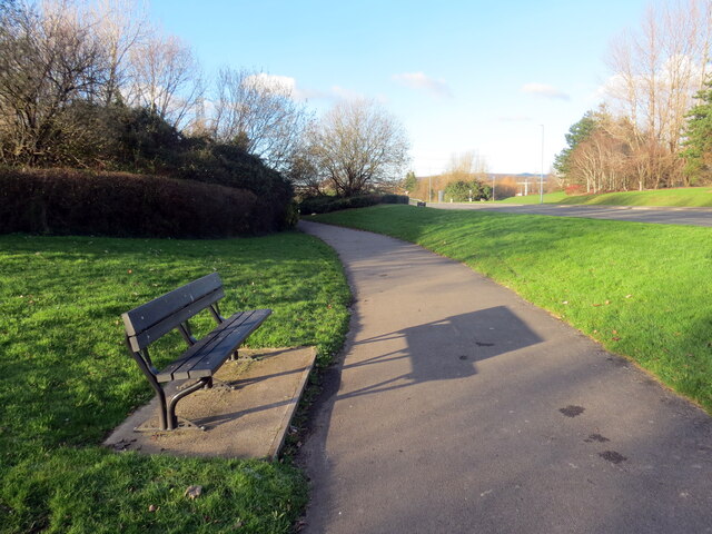
The forest is crisscrossed by a network of well-maintained trails and paths, allowing visitors to explore the woodlands at their own pace. These trails range from easy strolls to more challenging hikes, providing opportunities for individuals of all fitness levels to enjoy the natural beauty of the area.

Shelone Wood is also a haven for wildlife. A wide range of animals can be found within its boundaries, including deer, foxes, squirrels, and a variety of bird species. The forest provides a rich and diverse habitat for these creatures, allowing them to thrive in their natural environment.

In addition to its natural attractions, Shelone Wood offers a range of amenities for visitors. There are picnic areas and benches strategically placed throughout the forest, making it an ideal spot for a leisurely lunch or a peaceful break. Interpretive signs and information boards are also scattered along the trails, providing educational insights into the local flora and fauna.

Overall, Shelone Wood in Glamorgan is a haven of tranquility, offering visitors the opportunity to immerse themselves in nature and experience the beauty and serenity of a Welsh forest.

If you have any feedback on the listing, please let us know in the comments section below.
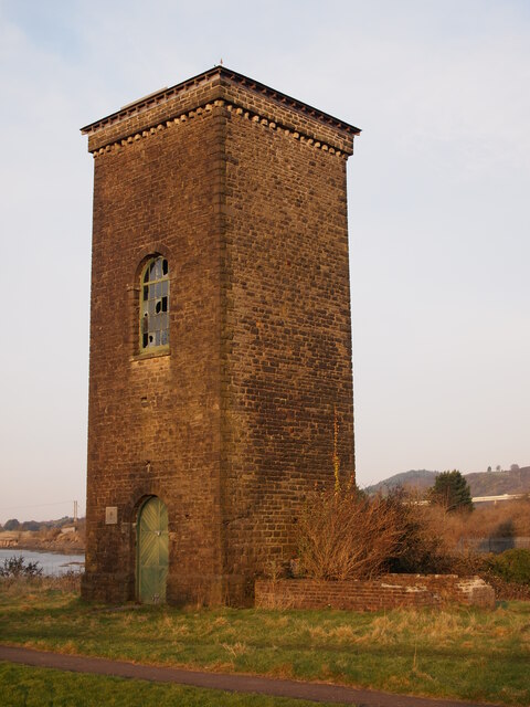
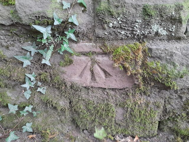
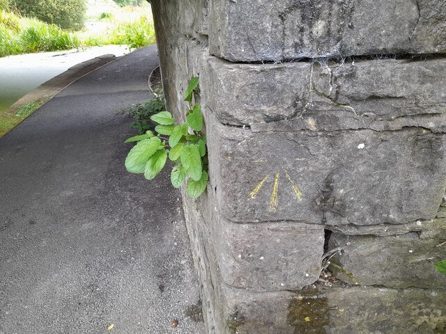
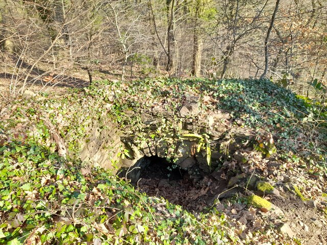
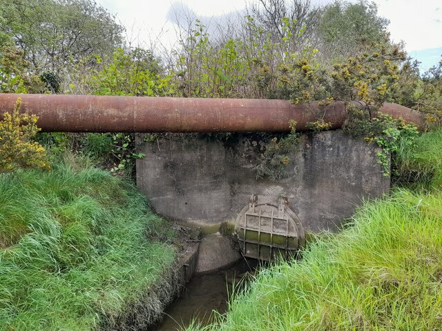
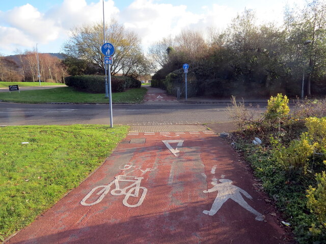
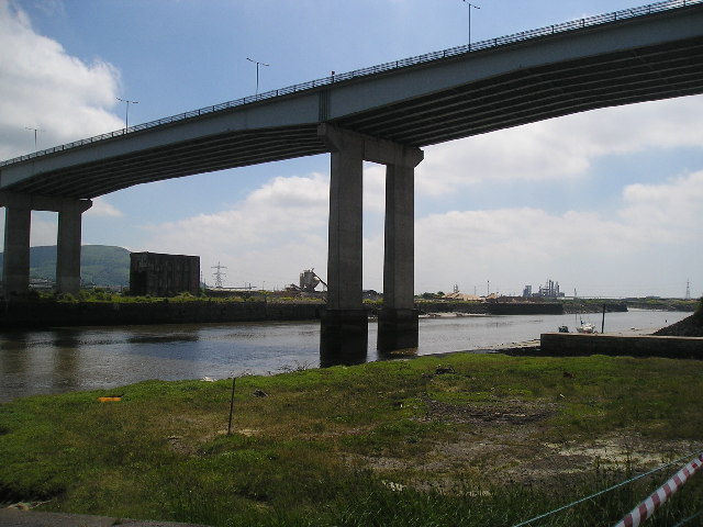
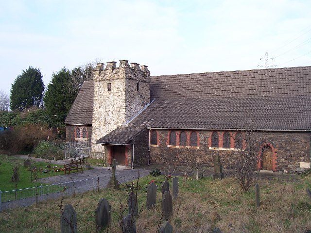
Shelone Wood Images

Images are sourced within 2km of 51.634829/-3.8267304 or Grid Reference SS7394. Thanks to Geograph Open Source API. All images are credited.

Traffic congestion at the M4/A465 junction
The Former Bethesda Chapel, Briton Ferry
Brunel Tower, Briton Ferry Docks The tower housed a hydraulic accumulator, which operated the lock gate, cranes and other machinery.
Brunel Tower, Briton Ferry Docks
The tower housed a hydraulic accumulator, which operated the lock gate, cranes and other machinery.
Ordnance Survey Cut Mark This OS cut mark can be found on the SW buttress of the bridge. It marks a point 66.971m above mean sea level.
Ordnance Survey Cut Mark
This OS cut mark can be found on the SW buttress of the bridge. It marks a point 66.971m above mean sea level.
Ordnance Survey Cut Mark This damaged OS cut mark can be found on the bridge on the Neath Canal. It marks a point 24.3ft above mean sea level.
Ordnance Survey Cut Mark
This damaged OS cut mark can be found on the bridge on the Neath Canal. It marks a point 24.3ft above mean sea level.
Ordnance Survey Rivet This OS rivet can be found on the north angle, SE side of old lock gates. It marks a point 20.1ft above mean sea level.
Ordnance Survey Rivet
This OS rivet can be found on the north angle, SE side of old lock gates. It marks a point 20.1ft above mean sea level.
Ordnance Survey Rivet This OS rivet can be found on the wall at the junction of Herbert Road. It marks a point 34.574m above mean sea level.
Ordnance Survey Rivet
This OS rivet can be found on the wall at the junction of Herbert Road. It marks a point 34.574m above mean sea level.
Wetland area beside River Neath
Ordnance Survey Cut Mark This OS cut mark can be found on buttress of the railway bridge over the canal. It marks a point 7.257m above mean sea level.
Ordnance Survey Cut Mark
This OS cut mark can be found on buttress of the railway bridge over the canal. It marks a point 7.257m above mean sea level.
Ordnance Survey Cut Mark This OS cut mark can be found on the footbridge over the canal. It marks a point 7.041m above mean sea level.
Ordnance Survey Cut Mark
This OS cut mark can be found on the footbridge over the canal. It marks a point 7.041m above mean sea level.
Air Shaft in Forest
Air Shaft in Forest
Culvert
Culvert
Llwybr defnydd a rennir / Shared use path Llwybr defnydd a rennir ar Ystad Diwydiannol Baglan.

A shared use path at Baglan Indiustrial Estate
Llwybr defnydd a rennir / Shared use path
Llwybr defnydd a rennir ar Ystad Diwydiannol Baglan. A shared use path at Baglan Indiustrial Estate
Llwybr defnydd a rennir / Shared use path Llwybr defnydd a rennir ar Ystad Diwydiannol Baglan

A shared use path at Baglan Industrial Estate.
Llwybr defnydd a rennir / Shared use path
Llwybr defnydd a rennir ar Ystad Diwydiannol Baglan A shared use path at Baglan Industrial Estate.
M4 over River Neath This is the M4 motorway going over the River Neath near Briton Ferry.
M4 over River Neath
This is the M4 motorway going over the River Neath near Briton Ferry.
M4 River Neath Crossing Elevated section from the SE
M4 River Neath Crossing
Elevated section from the SE
Baglan Bay Power Station This power station is just about all that's left of BP Baglan Bay following recent de-commissioning. (Taken from SE).
Baglan Bay Power Station
This power station is just about all that's left of BP Baglan Bay following recent de-commissioning. (Taken from SE).
Llansawel Church The Church of Saint Mary the Virgin, Llansawel. Now over-shadowed by the A48 road bridge over the river Neath.
Llansawel Church
The Church of Saint Mary the Virgin, Llansawel. Now over-shadowed by the A48 road bridge over the river Neath.
Show me another place!

Shelone Wood is located at Grid Ref: SS7394 (Lat: 51.634829, Lng: -3.8267304)

Unitary Authority: Neath Port Talbot

Police Authority: South Wales

What 3 Words

///fade.wooden.dragon. Near Briton Ferry, Neath Port Talbot

Related Wikis

Briton Ferry

Briton Ferry (Welsh: Llansawel) is a town and community in the county borough of Neath Port Talbot, Wales. The Welsh name may indicate that the church...

Briton Ferry East railway station

Briton Ferry East railway station served the town of Briton Ferry, in the historical county of Glamorganshire, Wales, from 1895 to 1935 on the Rhondda...

Briton Ferry West railway station

Briton Ferry West railway station served the town of Briton Ferry, in the historical county of Glamorganshire, Wales, from 1895 to 1935 on the South Wales...

Briton Ferry railway station

Briton Ferry railway station is a minor station in the village of Briton Ferry, south Wales. It is 206 miles 40 chains (332.3 km) from the zero point at...

Nearby Amenities

Located within 500m of 51.634829,-3.8267304
Briton Ferry Up Flying Loop Junction
Railway: junction
Lat/Long: 51.6342063/-3.82108
Briton Ferry
Is In: West Glamorgan, Wales
Name Cy: Llansawel
Name En: Briton Ferry
Place: town
Postal Code: SA11
Wikidata: Q1858117
Lat/Long: 51.6360419/-3.8216718
Crossing Barrier: no
Crossing Bell: no
Crossing Light: no
Railway: level_crossing
Lat/Long: 51.6313811/-3.8238595
Ncn Milepost: rowe
Source: survey
Sustrans Ref: MP278
Lat/Long: 51.6320094/-3.8275858
Barrier: cycle_barrier
Lat/Long: 51.6326636/-3.8293232
Place Of Worship
Saint Mary's Church
Denomination: anglican
Religion: christian
Wikidata: Q29500441
Lat/Long: 51.6326971/-3.8280506
Maxheight: 11'6"
Lat/Long: 51.6333781/-3.8214083
Winstone's Fitness Centre
Leisure: sports_centre
Lat/Long: 51.6317578/-3.823894
Community Centre
Lat/Long: 51.6362881/-3.8224921
Pub
The Puddlers Arms
Wikidata: Q80584914
Lat/Long: 51.633407/-3.8254866
Telephone
Booth: KX100
Covered: booth
Lat/Long: 51.6371427/-3.8243772
Power: tower
Lat/Long: 51.6315906/-3.8270935
Power: pole
Lat/Long: 51.6340696/-3.827719
Power: tower
Lat/Long: 51.6338467/-3.8282393
Power: pole
Lat/Long: 51.6352998/-3.8284003
Railway: switch
Lat/Long: 51.6317526/-3.8221809
Power: pole
Lat/Long: 51.6367281/-3.8279043
Power: tower
Lat/Long: 51.6372699/-3.8273384
Railway: switch
Lat/Long: 51.6332025/-3.8217784
Power: pole
Lat/Long: 51.6370545/-3.827223
Power: pole
Lat/Long: 51.6353181/-3.8285263
Power: tower
Lat/Long: 51.6314657/-3.8262813
Power: pole
Lat/Long: 51.636024/-3.8280891
Power: pole
Lat/Long: 51.6373307/-3.8274966
Power: tower
Lat/Long: 51.6354356/-3.8287004
Power: pole
Lat/Long: 51.6368381/-3.8279741
Power: pole
Lat/Long: 51.636044/-3.8279014
Railway: switch
Lat/Long: 51.6332565/-3.8217109
Power: pole
Lat/Long: 51.6360889/-3.8285076
Railway: switch
Lat/Long: 51.6314059/-3.8222486
Railway: switch
Lat/Long: 51.6327971/-3.8218633
Railway: switch
Lat/Long: 51.6334988/-3.8215888
Power: pole
Lat/Long: 51.6334587/-3.8284447
Power: pole
Lat/Long: 51.6370244/-3.8274108
Power: pole
Lat/Long: 51.6373542/-3.8276307
Power: pole
Lat/Long: 51.6360107/-3.8284003
Railway: switch
Lat/Long: 51.6325155/-3.821996
Railway: switch
Lat/Long: 51.6366843/-3.8204466
Power: tower
Lat/Long: 51.6313777/-3.8300686
Dock Junction
Alt Name: Baglan Branch Junction
Railway: junction
Lat/Long: 51.6332978/-3.8215922
Power: pole
Lat/Long: 51.633785/-3.8275659
Power: pole
Lat/Long: 51.633825/-3.828443
Power: pole
Lat/Long: 51.6345525/-3.8287514
Power: pole
Lat/Long: 51.6386926/-3.8281319
Power: pole
Lat/Long: 51.6388599/-3.8280568
Traffic Calming: hump
Lat/Long: 51.6322315/-3.8215219
Traffic Calming: cushion
Lat/Long: 51.6329806/-3.8212653
Traffic Calming: hump
Lat/Long: 51.6334201/-3.8208855
Briton Ferry West
Abandoned Railway: station
Railway: site
Wikidata: Q107366011
Lat/Long: 51.6315987/-3.8220598
Warren Hill
Ele: 44.6
Natural: peak
Wikidata: Q106711690
Lat/Long: 51.6311694/-3.8265945
Railway: switch
Lat/Long: 51.6312633/-3.8241185
Railway: level_crossing
Lat/Long: 51.6316569/-3.8234303
Railway: switch
Lat/Long: 51.6341872/-3.82106
Direction: SE
Generator Method: photovoltaic
Generator Output Electricity: yes
Generator Solar Modules: 8
Generator Source: solar
Generator Type: solar_photovoltaic_panel
Location: roof
Power: generator
Lat/Long: 51.6331763/-3.8270764
Direction: SE
Generator Method: photovoltaic
Generator Output Electricity: yes
Generator Solar Modules: 8
Generator Source: solar
Generator Type: solar_photovoltaic_panel
Location: roof
Power: generator
Lat/Long: 51.6332094/-3.8270295
Direction: 175
Generator Method: photovoltaic
Generator Output Electricity: yes
Generator Solar Modules: 14
Generator Source: solar
Generator Type: solar_photovoltaic_panel
Location: roof
Power: generator
Lat/Long: 51.6367866/-3.8221277
Direction: 185
Generator Method: photovoltaic
Generator Output Electricity: yes
Generator Solar Modules: 12
Generator Source: solar
Generator Type: solar_photovoltaic_panel
Location: roof
Power: generator
Lat/Long: 51.6368182/-3.8223249
Direction: S
Generator Method: photovoltaic
Generator Output Electricity: yes
Generator Solar Modules: 16
Generator Source: solar
Generator Type: solar_photovoltaic_panel
Location: roof
Power: generator
Lat/Long: 51.6359476/-3.8221324
Direction: 175
Generator Method: photovoltaic
Generator Output Electricity: yes
Generator Solar Modules: 8
Generator Source: solar
Generator Type: solar_photovoltaic_panel
Location: roof
Power: generator
Lat/Long: 51.6330929/-3.8230528
Direction: 175
Generator Method: photovoltaic
Generator Output Electricity: yes
Generator Solar Modules: 14
Generator Source: solar
Generator Type: solar_photovoltaic_panel
Location: roof
Power: generator
Lat/Long: 51.6331316/-3.8231611
Access: no
Barrier: block
Bicycle: yes
Foot: yes
Lat/Long: 51.6323622/-3.8284627
Barrier: block
Lat/Long: 51.6314764/-3.8297209
Crossing Barrier: no
Crossing Bell: no
Crossing Light: no
Railway: level_crossing
Lat/Long: 51.6311139/-3.8244501
Crossing Barrier: no
Crossing Bell: no
Crossing Light: no
Railway: level_crossing
Lat/Long: 51.6311616/-3.8243941
Post Box
Post Box Type: wall
Royal Cypher: GR
Royal Cypher Wikidata: Q33102273
Lat/Long: 51.6383724/-3.825255
The data included in this document is from www.openstreetmap.org. The data is made available under ODbL.

Have you been to Shelone Wood?

Leave your review of Shelone Wood below (or comments, questions and feedback).