Shelone

Settlement in Glamorgan

Wales

Shelone

Traffic congestion at the M4/A465 junction
Traffic congestion at the M4/A465 junction Credit: Eirian Evans

Shelone is a small village located in the county of Glamorgan in Wales, United Kingdom. Situated approximately 10 miles west of the capital city, Cardiff, this rural community offers a tranquil and picturesque setting amidst the rolling hills and lush greenery of the Welsh countryside.

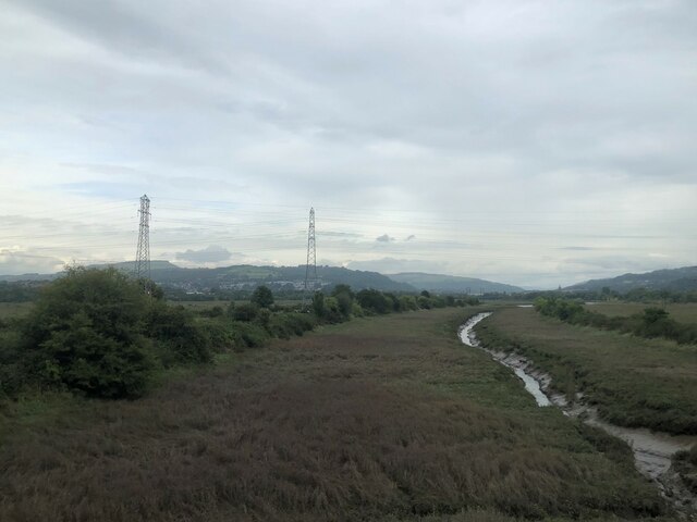
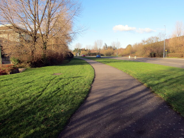
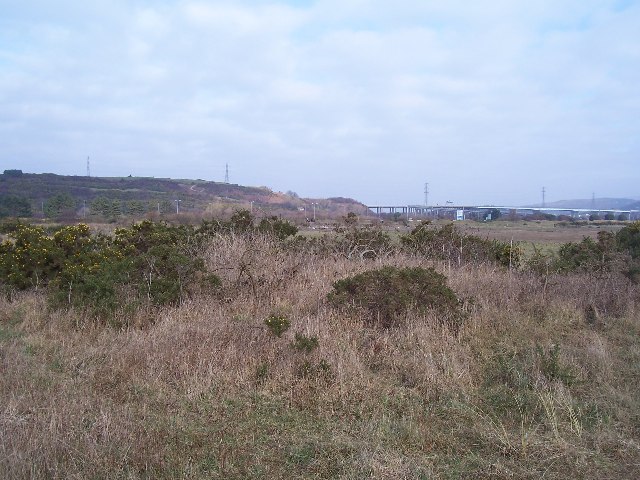
The village of Shelone is renowned for its beautiful landscapes, with breathtaking views of the surrounding valleys and meadows. It is an ideal destination for nature lovers and outdoor enthusiasts, offering numerous walking and hiking trails that showcase the area's natural beauty. Additionally, the nearby Shelone Forest provides a perfect retreat for those seeking solitude and relaxation.

Despite its small size, Shelone boasts a strong sense of community and is home to a close-knit population. The village is characterized by charming stone houses and cottages, which add to its traditional and rustic charm. The local pub, The Shelone Arms, serves as a popular meeting place for residents and visitors alike, offering a friendly and welcoming atmosphere.

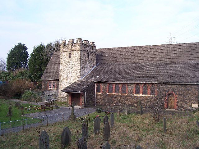
For those seeking cultural experiences, Shelone is conveniently located near several historic sites and attractions. The nearby town of Cowbridge, known for its medieval architecture and vibrant market, offers a wealth of shopping and dining options.

Overall, Shelone in Glamorgan offers a peaceful and idyllic retreat from the hustle and bustle of city life, with its natural beauty, tight-knit community, and close proximity to both stunning countryside and historical landmarks.

If you have any feedback on the listing, please let us know in the comments section below.
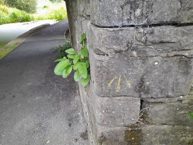
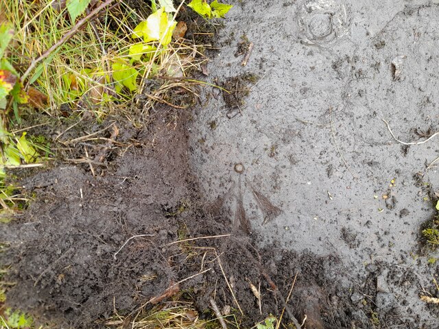
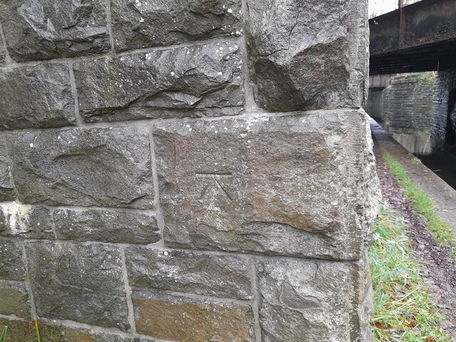
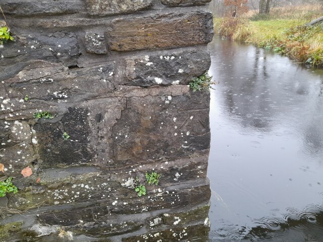
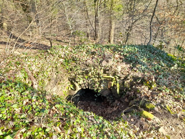
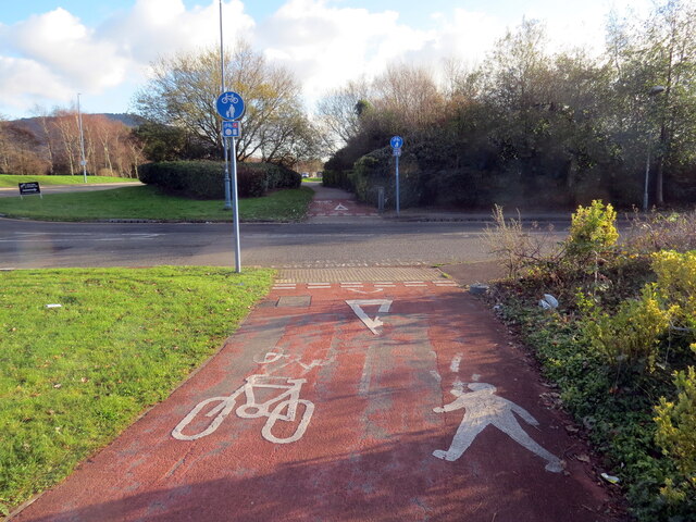
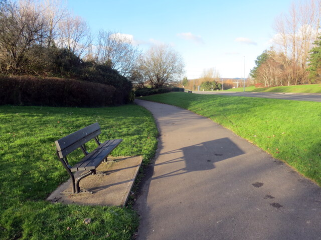
Shelone Images

Images are sourced within 2km of 51.633953/-3.827096 or Grid Reference SS7394. Thanks to Geograph Open Source API. All images are credited.

Traffic congestion at the M4/A465 junction
The Former Bethesda Chapel, Briton Ferry
Brunel Tower, Briton Ferry Docks The tower housed a hydraulic accumulator, which operated the lock gate, cranes and other machinery.
Brunel Tower, Briton Ferry Docks
The tower housed a hydraulic accumulator, which operated the lock gate, cranes and other machinery.
Ordnance Survey Cut Mark This OS cut mark can be found on the SW buttress of the bridge. It marks a point 66.971m above mean sea level.
Ordnance Survey Cut Mark
This OS cut mark can be found on the SW buttress of the bridge. It marks a point 66.971m above mean sea level.
Ordnance Survey Cut Mark This damaged OS cut mark can be found on the bridge on the Neath Canal. It marks a point 24.3ft above mean sea level.
Ordnance Survey Cut Mark
This damaged OS cut mark can be found on the bridge on the Neath Canal. It marks a point 24.3ft above mean sea level.
Ordnance Survey Rivet This OS rivet can be found on the north angle, SE side of old lock gates. It marks a point 20.1ft above mean sea level.
Ordnance Survey Rivet
This OS rivet can be found on the north angle, SE side of old lock gates. It marks a point 20.1ft above mean sea level.
Wetland area beside River Neath
Ordnance Survey Cut Mark This OS cut mark can be found on buttress of the railway bridge over the canal. It marks a point 7.257m above mean sea level.
Ordnance Survey Cut Mark
This OS cut mark can be found on buttress of the railway bridge over the canal. It marks a point 7.257m above mean sea level.
Ordnance Survey Cut Mark This OS cut mark can be found on the footbridge over the canal. It marks a point 7.041m above mean sea level.
Ordnance Survey Cut Mark
This OS cut mark can be found on the footbridge over the canal. It marks a point 7.041m above mean sea level.
Air Shaft in Forest
Air Shaft in Forest
Llwybr defnydd a rennir / Shared use path Llwybr defnydd a rennir ar Ystad Diwydiannol Baglan.

A shared use path at Baglan Indiustrial Estate
Llwybr defnydd a rennir / Shared use path
Llwybr defnydd a rennir ar Ystad Diwydiannol Baglan. A shared use path at Baglan Indiustrial Estate
Llwybr defnydd a rennir / Shared use path Llwybr defnydd a rennir ar Ystad Diwydiannol Baglan

A shared use path at Baglan Industrial Estate.
Llwybr defnydd a rennir / Shared use path
Llwybr defnydd a rennir ar Ystad Diwydiannol Baglan A shared use path at Baglan Industrial Estate.
Llwybr defnydd a rennir / Shared use path Llwybr defnydd a rennir  st Ystad Diwydiannol Baglan

Shared use path at Baglan Industrial Estate.
Llwybr defnydd a rennir / Shared use path
Llwybr defnydd a rennir st Ystad Diwydiannol Baglan Shared use path at Baglan Industrial Estate.
M4 over River Neath This is the M4 motorway going over the River Neath near Briton Ferry.
M4 over River Neath
This is the M4 motorway going over the River Neath near Briton Ferry.
M4 River Neath Crossing Elevated section from the SE
M4 River Neath Crossing
Elevated section from the SE
Baglan Bay Power Station This power station is just about all that's left of BP Baglan Bay following recent de-commissioning. (Taken from SE).
Baglan Bay Power Station
This power station is just about all that's left of BP Baglan Bay following recent de-commissioning. (Taken from SE).
Crymlyn Burrows Gorse and scrub are colonising and stabilizing the burrows here
Crymlyn Burrows
Gorse and scrub are colonising and stabilizing the burrows here
Llansawel Church The Church of Saint Mary the Virgin, Llansawel. Now over-shadowed by the A48 road bridge over the river Neath.
Llansawel Church
The Church of Saint Mary the Virgin, Llansawel. Now over-shadowed by the A48 road bridge over the river Neath.
Show me another place!

Shelone is located at Grid Ref: SS7394 (Lat: 51.633953, Lng: -3.827096)

Unitary Authority: Neath Port Talbot

Police Authority: South Wales

What 3 Words

///yards.magic.soft. Near Briton Ferry, Neath Port Talbot

Related Wikis

Briton Ferry East railway station

Briton Ferry East railway station served the town of Briton Ferry, in the historical county of Glamorganshire, Wales, from 1895 to 1935 on the Rhondda...

Briton Ferry West railway station

Briton Ferry West railway station served the town of Briton Ferry, in the historical county of Glamorganshire, Wales, from 1895 to 1935 on the South Wales...
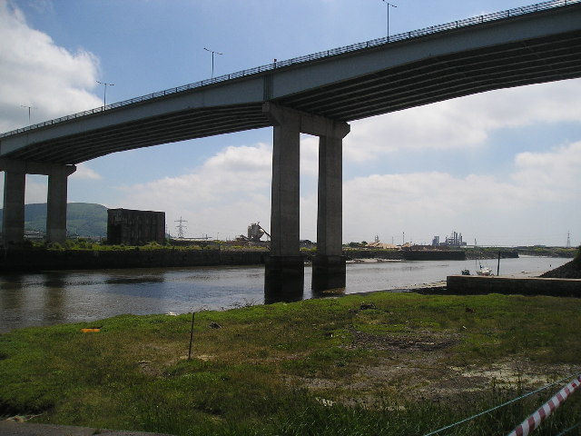
Briton Ferry

Briton Ferry (Welsh: Llansawel) is a town and community in the county borough of Neath Port Talbot, Wales. The Welsh name may indicate that the church...

Briton Ferry railway station

Briton Ferry railway station is a minor station in the village of Briton Ferry, south Wales. It is 206 miles 40 chains (332.3 km) from the zero point at...

Nearby Amenities

Located within 500m of 51.633953,-3.827096
Briton Ferry Up Flying Loop Junction
Railway: junction
Lat/Long: 51.6342063/-3.82108
Briton Ferry
Is In: West Glamorgan, Wales
Name Cy: Llansawel
Name En: Briton Ferry
Place: town
Postal Code: SA11
Wikidata: Q1858117
Lat/Long: 51.6360419/-3.8216718
Crossing Barrier: no
Crossing Bell: no
Crossing Light: no
Railway: level_crossing
Lat/Long: 51.6313811/-3.8238595
Recycling
Created By: Potlatch 0.10f
Lat/Long: 51.6302873/-3.8240826
Ncn Milepost: rowe
Source: survey
Sustrans Ref: MP278
Lat/Long: 51.6320094/-3.8275858
Barrier: cycle_barrier
Lat/Long: 51.6326636/-3.8293232
Place Of Worship
Saint Mary's Church
Denomination: anglican
Religion: christian
Wikidata: Q29500441
Lat/Long: 51.6326971/-3.8280506
Pub
The New Dock (disused)
Lat/Long: 51.631029/-3.8216492
Maxheight: 11'6"
Lat/Long: 51.6333781/-3.8214083
Winstone's Fitness Centre
Leisure: sports_centre
Lat/Long: 51.6317578/-3.823894
Community Centre
Lat/Long: 51.6362881/-3.8224921
Pub
The Puddlers Arms
Wikidata: Q80584914
Lat/Long: 51.633407/-3.8254866
Telephone
Booth: KX100
Covered: booth
Lat/Long: 51.6371427/-3.8243772
Power: tower
Lat/Long: 51.6315906/-3.8270935
Power: pole
Lat/Long: 51.6340696/-3.827719
Power: tower
Lat/Long: 51.6338467/-3.8282393
Power: pole
Lat/Long: 51.6352998/-3.8284003
Railway: switch
Lat/Long: 51.6317526/-3.8221809
Power: pole
Lat/Long: 51.6367281/-3.8279043
Power: tower
Lat/Long: 51.6372699/-3.8273384
Railway: switch
Lat/Long: 51.6332025/-3.8217784
Power: pole
Lat/Long: 51.6370545/-3.827223
Power: pole
Lat/Long: 51.6353181/-3.8285263
Power: tower
Lat/Long: 51.6314657/-3.8262813
Power: pole
Lat/Long: 51.636024/-3.8280891
Power: pole
Lat/Long: 51.6373307/-3.8274966
Power: tower
Lat/Long: 51.6354356/-3.8287004
Power: pole
Lat/Long: 51.6368381/-3.8279741
Power: pole
Lat/Long: 51.636044/-3.8279014
Railway: switch
Lat/Long: 51.6332565/-3.8217109
Power: pole
Lat/Long: 51.6360889/-3.8285076
Railway: switch
Lat/Long: 51.6314059/-3.8222486
Railway: switch
Lat/Long: 51.6327971/-3.8218633
Railway: switch
Lat/Long: 51.6334988/-3.8215888
Power: pole
Lat/Long: 51.6334587/-3.8284447
Power: pole
Lat/Long: 51.6370244/-3.8274108
Power: pole
Lat/Long: 51.6373542/-3.8276307
Power: pole
Lat/Long: 51.6360107/-3.8284003
Railway: switch
Lat/Long: 51.6325155/-3.821996
Power: tower
Lat/Long: 51.6313777/-3.8300686
Street Lamp
Lamp Model: Philips MA60
Lamp Type: low_pressure_sodium
Light Count: 2
Light Power: 180
Source: Mapillary (2019-03-21)
Lat/Long: 51.629484/-3.8269761
Street Lamp
Lamp Model: Philips MA60
Lamp Type: low_pressure_sodium
Light Count: 2
Light Power: 180
Source: Mapillary (2019-03-21)
Lat/Long: 51.6296077/-3.8274924
Street Lamp
Lamp Model: Philips MA60
Lamp Type: low_pressure_sodium
Light Count: 2
Light Power: 180
Source: Mapillary (2019-03-21)
Lat/Long: 51.6297111/-3.8280656
Street Lamp
Lamp Model: Philips MA60
Lamp Type: low_pressure_sodium
Light Count: 2
Light Power: 180
Source: Mapillary (2019-03-21)
Lat/Long: 51.6299325/-3.8302535
Street Lamp
Lamp Model: Philips MA60
Lamp Type: low_pressure_sodium
Light Count: 2
Light Power: 180
Source: Mapillary (2019-03-21)
Lat/Long: 51.6298825/-3.8296741
Street Lamp
Lamp Model: Philips MA60
Lamp Type: low_pressure_sodium
Light Count: 2
Light Power: 180
Source: Mapillary (2019-03-21)
Lat/Long: 51.6298343/-3.8291377
Street Lamp
Lamp Model: Philips MA60
Lamp Type: low_pressure_sodium
Light Count: 2
Light Power: 180
Source: Mapillary (2019-03-21)
Lat/Long: 51.6297777/-3.8285556
Dock Junction
Alt Name: Baglan Branch Junction
Railway: junction
Lat/Long: 51.6332978/-3.8215922
Power: pole
Lat/Long: 51.633785/-3.8275659
Power: pole
Lat/Long: 51.633825/-3.828443
Power: pole
Lat/Long: 51.6345525/-3.8287514
Traffic Calming: hump
Lat/Long: 51.6315061/-3.8217702
Traffic Calming: hump
Lat/Long: 51.6322315/-3.8215219
Traffic Calming: cushion
Lat/Long: 51.6329806/-3.8212653
Traffic Calming: hump
Lat/Long: 51.6334201/-3.8208855
Briton Ferry West
Abandoned Railway: station
Railway: site
Wikidata: Q107366011
Lat/Long: 51.6315987/-3.8220598
Warren Hill
Ele: 44.6
Natural: peak
Wikidata: Q106711690
Lat/Long: 51.6311694/-3.8265945
Railway: switch
Lat/Long: 51.6312633/-3.8241185
Railway: level_crossing
Lat/Long: 51.6316569/-3.8234303
Railway: switch
Lat/Long: 51.6341872/-3.82106
Direction: SE
Generator Method: photovoltaic
Generator Output Electricity: yes
Generator Solar Modules: 8
Generator Source: solar
Generator Type: solar_photovoltaic_panel
Location: roof
Power: generator
Lat/Long: 51.6331763/-3.8270764
Direction: SE
Generator Method: photovoltaic
Generator Output Electricity: yes
Generator Solar Modules: 8
Generator Source: solar
Generator Type: solar_photovoltaic_panel
Location: roof
Power: generator
Lat/Long: 51.6332094/-3.8270295
Direction: 175
Generator Method: photovoltaic
Generator Output Electricity: yes
Generator Solar Modules: 14
Generator Source: solar
Generator Type: solar_photovoltaic_panel
Location: roof
Power: generator
Lat/Long: 51.6367866/-3.8221277
Direction: 185
Generator Method: photovoltaic
Generator Output Electricity: yes
Generator Solar Modules: 12
Generator Source: solar
Generator Type: solar_photovoltaic_panel
Location: roof
Power: generator
Lat/Long: 51.6368182/-3.8223249
Direction: S
Generator Method: photovoltaic
Generator Output Electricity: yes
Generator Solar Modules: 16
Generator Source: solar
Generator Type: solar_photovoltaic_panel
Location: roof
Power: generator
Lat/Long: 51.6359476/-3.8221324
Direction: 175
Generator Method: photovoltaic
Generator Output Electricity: yes
Generator Solar Modules: 8
Generator Source: solar
Generator Type: solar_photovoltaic_panel
Location: roof
Power: generator
Lat/Long: 51.6330929/-3.8230528
Direction: 175
Generator Method: photovoltaic
Generator Output Electricity: yes
Generator Solar Modules: 14
Generator Source: solar
Generator Type: solar_photovoltaic_panel
Location: roof
Power: generator
Lat/Long: 51.6331316/-3.8231611
Access: no
Barrier: block
Bicycle: yes
Foot: yes
Lat/Long: 51.6323622/-3.8284627
Barrier: block
Lat/Long: 51.6314764/-3.8297209
Crossing Barrier: no
Crossing Bell: no
Crossing Light: no
Railway: level_crossing
Lat/Long: 51.6311139/-3.8244501
Crossing Barrier: no
Crossing Bell: no
Crossing Light: no
Railway: level_crossing
Lat/Long: 51.6311616/-3.8243941
The data included in this document is from www.openstreetmap.org. The data is made available under ODbL.

Have you been to Shelone?

Leave your review of Shelone below (or comments, questions and feedback).