Shellwood Cross
Settlement in Surrey Mole Valley
England
Shellwood Cross

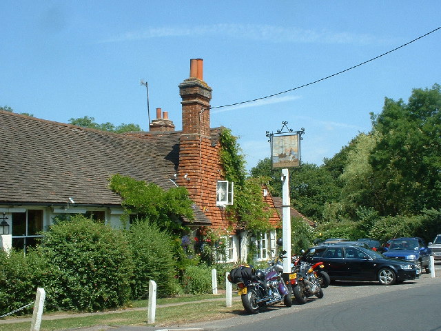
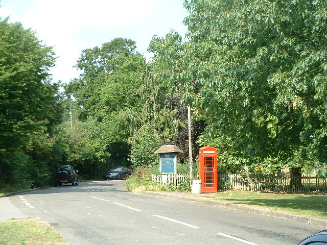
Shellwood Cross is a small, rural hamlet located in the county of Surrey, England. Situated approximately 30 miles south of London, it falls within the administrative district of Mole Valley. The settlement is nestled amidst picturesque countryside, offering residents and visitors a serene and peaceful environment.
The hamlet primarily consists of a cluster of residential properties, with a population of around 100 people. The architecture of the houses in Shellwood Cross is predominantly traditional, reflecting the charm and character of the English countryside. The area is known for its well-maintained gardens and beautifully landscaped green spaces.
Despite its small size, Shellwood Cross boasts a strong sense of community, with its residents actively involved in local activities and events. There are a few amenities available, including a village hall that is used for various social gatherings and community events. The hamlet also benefits from its proximity to nearby villages and towns, such as Dorking and Horsham, where residents can find a wider range of services and amenities.
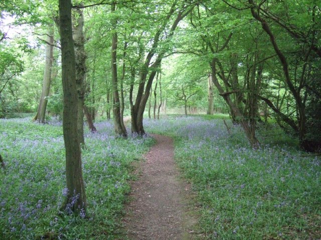
Nature enthusiasts are drawn to Shellwood Cross due to its close proximity to the Surrey Hills Area of Outstanding Natural Beauty. This designation ensures that the surrounding landscapes, including woodlands and rolling hills, are preserved for future generations to enjoy. The area offers numerous walking and cycling trails, allowing visitors to immerse themselves in the natural splendor of the countryside.
Overall, Shellwood Cross provides a tranquil and idyllic setting for those seeking a peaceful retreat away from the hustle and bustle of urban life. Its picturesque location, strong community spirit, and access to beautiful natural surroundings make it a desirable place to live or visit.
If you have any feedback on the listing, please let us know in the comments section below.
Shellwood Cross Images
Images are sourced within 2km of 51.195354/-0.266105 or Grid Reference TQ2145. Thanks to Geograph Open Source API. All images are credited.


Shellwood Cross is located at Grid Ref: TQ2145 (Lat: 51.195354, Lng: -0.266105)
Administrative County: Surrey
District: Mole Valley
Police Authority: Surrey
What 3 Words
///rushed.trendy.drives. Near Holmwood, Surrey
Nearby Locations
Related Wikis
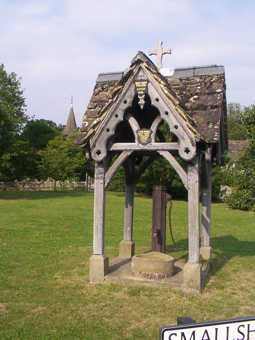
Leigh, Surrey
Leigh is a village and civil parish in Surrey, between Reigate, Dorking and Charlwood in the east of Mole Valley district. The village centre is suburban...

Newdigate
Newdigate is a village and civil parish in the Mole Valley borough of Surrey lying in a relatively flat part of the Weald to the east of the A24 road between...

Wotton Hundred
The Hundred of Wotton, Wotton Hundred or Dorking Hundred was a hundred in Surrey, England. The hundred comprised a south-central portion of the county...

Newdigate Brickworks
Newdigate Brickworks is a 24-hectare (59-acre) nature reserve in Newdigate in Surrey. It is managed by the Surrey Wildlife Trust.The clay pits of this...
Moon Hall School
Moon Hall School, since 1952 an independent co-educational preparatory school at Leigh, near Reigate in Surrey, is currently, as of 2021, a special school...
Edolph's Copse
Edolph's Copse is a 27.6-hectare (68-acre) Local Nature Reserve west of Horley in Surrey. It is owned and managed by the Woodland Trust.The copse is mainly...

South Holmwood
South Holmwood () is a semi-rural village in Surrey, England. It can be considered cognate with its wider civil parish, which stretches to the east to...

Holmwood railway station
Holmwood railway station serves the villages of Beare Green and South Holmwood in Surrey, England, on the Sutton and Mole Valley Lines between Dorking...
Nearby Amenities
Located within 500m of 51.195354,-0.266105Have you been to Shellwood Cross?
Leave your review of Shellwood Cross below (or comments, questions and feedback).