Earls Wood
Wood, Forest in Glamorgan
Wales
Earls Wood

The requested URL returned error: 429 Too Many Requests
If you have any feedback on the listing, please let us know in the comments section below.
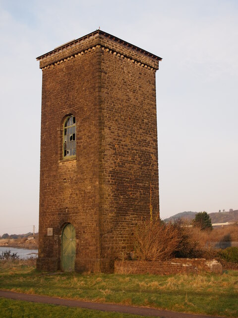
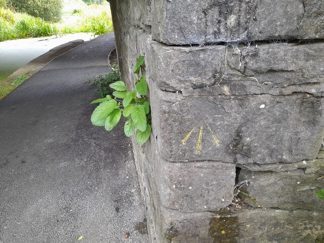
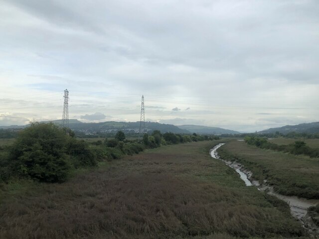
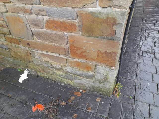
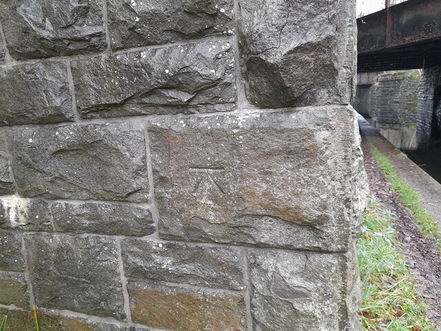
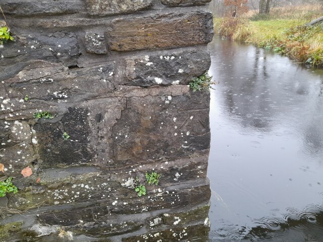
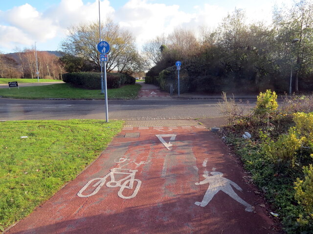
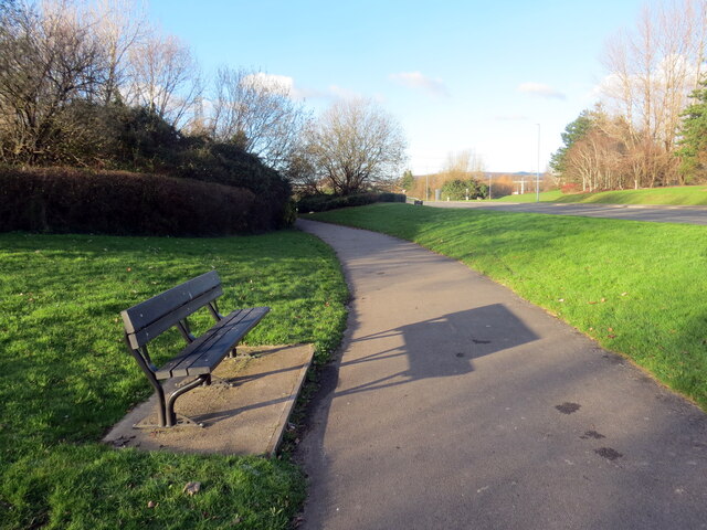
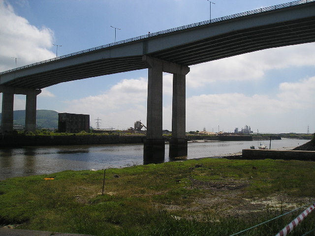
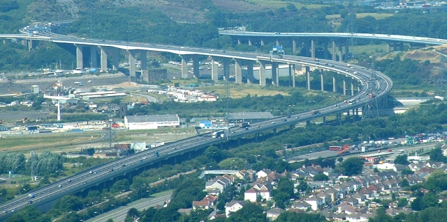
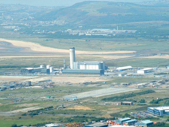
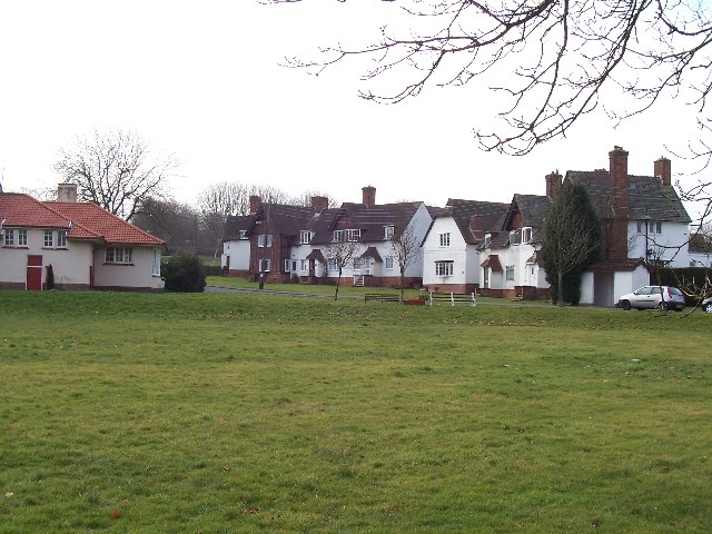
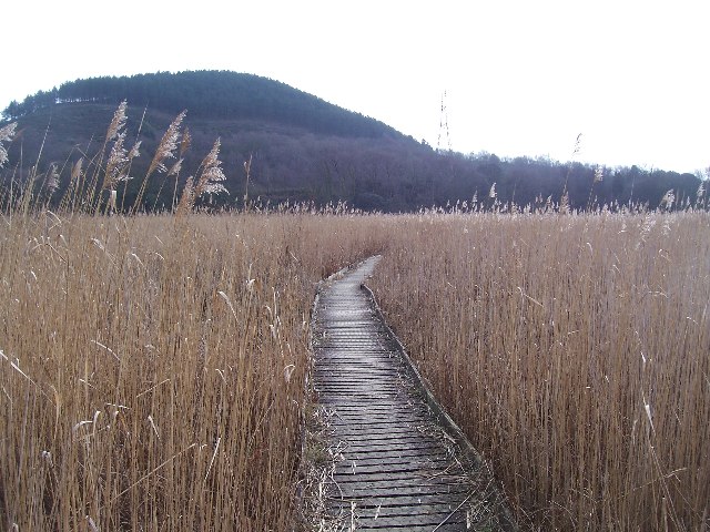
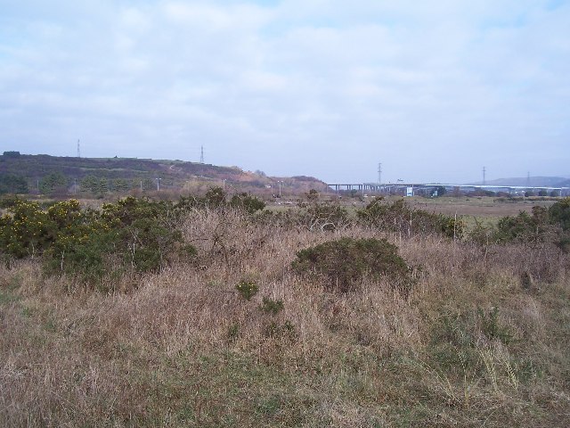
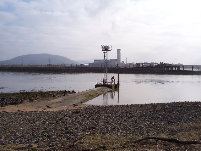
Earls Wood Images
Images are sourced within 2km of 51.634374/-3.8345732 or Grid Reference SS7394. Thanks to Geograph Open Source API. All images are credited.

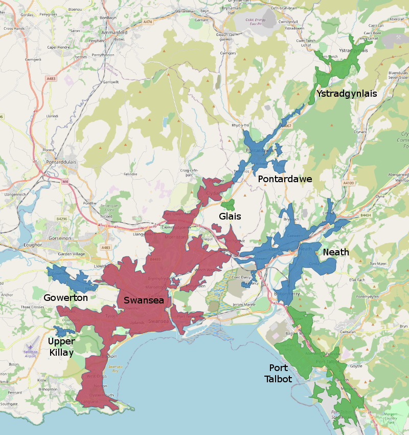
Earls Wood is located at Grid Ref: SS7394 (Lat: 51.634374, Lng: -3.8345732)
Unitary Authority: Neath Port Talbot
Police Authority: South Wales
What 3 Words
///idealist.remark.mildest. Near Briton Ferry, Neath Port Talbot
Nearby Locations
Related Wikis

Briton Ferry West railway station
Briton Ferry West railway station served the town of Briton Ferry, in the historical county of Glamorganshire, Wales, from 1895 to 1935 on the South Wales...

Briton Ferry East railway station
Briton Ferry East railway station served the town of Briton Ferry, in the historical county of Glamorganshire, Wales, from 1895 to 1935 on the Rhondda...

Briton Ferry
Briton Ferry (Welsh: Llansawel) is a town and community in the county borough of Neath Port Talbot, Wales. The Welsh name may indicate that the church...
Swansea urban area
The Swansea Urban Area or Swansea Built-up Area is an area of land in south Wales, defined by the Office for National Statistics for population monitoring...
Nearby Amenities
Located within 500m of 51.634374,-3.8345732Have you been to Earls Wood?
Leave your review of Earls Wood below (or comments, questions and feedback).