Coed Pen Crug

Wood, Forest in Carmarthenshire

Wales

Coed Pen Crug

Ordnance Survey Cut Mark This OS cut mark can be found on the SE face of Penmaen Farmhouse. It marks a point 246.413m above mean sea level.
Ordnance Survey Cut Mark Credit: Adrian Dust

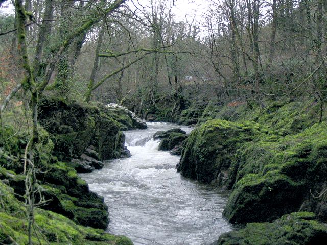
Coed Pen Crug is a captivating woodland located in Carmarthenshire, Wales. Encompassing an area of approximately 200 acres, this picturesque forest is a sanctuary for nature enthusiasts and a haven for wildlife.

The forest is home to a rich biodiversity, with a diverse range of plant and animal species. The woodland is predominantly composed of oak and beech trees, which create a dense canopy, providing shade and shelter for the various inhabitants. The forest floor is adorned with an array of wildflowers, adding vibrant pops of color to the serene surroundings.

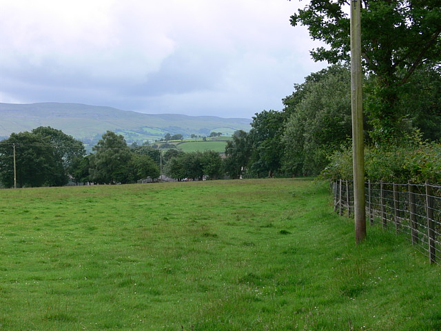
Coed Pen Crug offers a network of well-maintained trails, allowing visitors to explore the forest at their own pace. These trails wind through the woodland, offering breathtaking views of the surrounding countryside and distant hills. The peaceful ambiance, combined with the soothing sounds of birdsong and rustling leaves, creates an idyllic setting for a leisurely stroll or a more challenging hike.

The forest is also home to a diverse range of wildlife, including deer, badgers, and a wide variety of bird species. Birdwatchers flock to Coed Pen Crug to catch a glimpse of rare and elusive species, such as the pied flycatcher and the red kite.

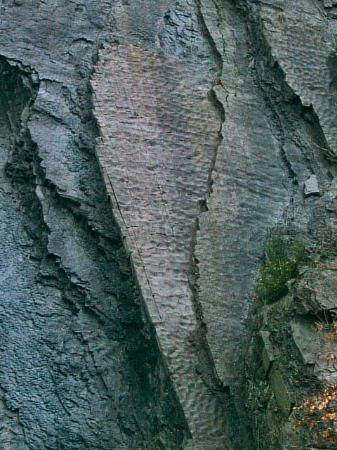
Coed Pen Crug is not only a natural treasure but also a cultural and historical site. The woodland is dotted with ancient ruins, including the remains of a hillfort and burial mounds, providing a glimpse into the area's rich past.

Overall, Coed Pen Crug is a captivating woodland that offers a harmonious blend of natural beauty, wildlife, and historical significance. It is a must-visit destination for those seeking tranquility and a deeper connection with nature.

If you have any feedback on the listing, please let us know in the comments section below.

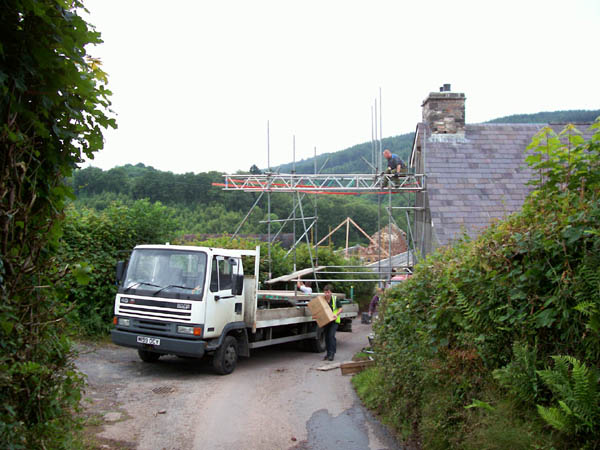
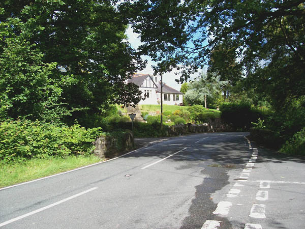
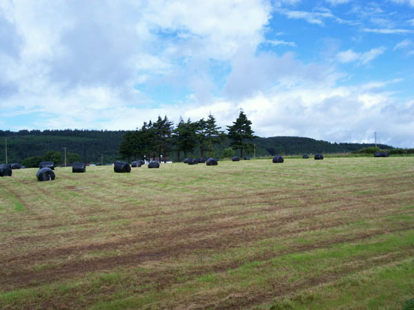
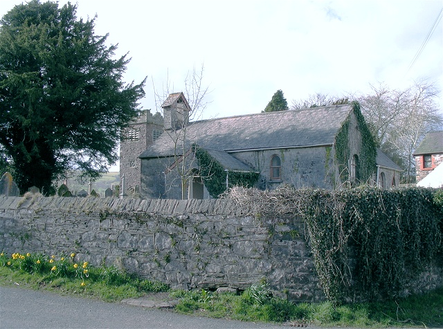
Coed Pen Crug Images

Images are sourced within 2km of 51.89564/-3.8374814 or Grid Reference SN7323. Thanks to Geograph Open Source API. All images are credited.

Ordnance Survey Cut Mark This OS cut mark can be found on the SE face of Penmaen Farmhouse. It marks a point 246.413m above mean sea level.
Ordnance Survey Cut Mark
This OS cut mark can be found on the SE face of Penmaen Farmhouse. It marks a point 246.413m above mean sea level.
Footbridge over stream at Ynys-wen, twynllanan
Maenhir Ynys-wen / Ynys-wen Standing Stone Maenhir gerllaw hen Ffatri Wlan Ynys-wen.

A standing stone near the former Ynys-wen Woollen Factory.
Maenhir Ynys-wen / Ynys-wen Standing Stone
Maenhir gerllaw hen Ffatri Wlan Ynys-wen. A standing stone near the former Ynys-wen Woollen Factory.
Gwynfe Community Centre The village seems to be officially called "Capel Gwynfe" but is mostly known as Gwynfe.
Gwynfe Community Centre
The village seems to be officially called "Capel Gwynfe" but is mostly known as Gwynfe.
Waterfall on Afon Sawdde This is the river Sawdde flowing north towards Llangadog.
At this point there are roads either side of it: a minor one on the left bank; and the A4069 to Brynaman on the right.
The whole length of the riverbank here is composed of upended strata of rock. You can drive past thousands of years of geology without even realising it.
Waterfall on Afon Sawdde
This is the river Sawdde flowing north towards Llangadog. At this point there are roads either side of it: a minor one on the left bank; and the A4069 to Brynaman on the right. The whole length of the riverbank here is composed of upended strata of rock. You can drive past thousands of years of geology without even realising it.
Sediment ripples in roadside quarry At the side of the minor road by the river Sawdde there is a small quarry (or large alcove). As with the riverbank, it is composed of upended strata. Here though the thick clumsy layers are replaced with thinner, more delicate strata.
On the vertical face you can see ripples in the sediment that once lay flat, presumably caused by wind or water.
Sediment ripples in roadside quarry
At the side of the minor road by the river Sawdde there is a small quarry (or large alcove). As with the riverbank, it is composed of upended strata. Here though the thick clumsy layers are replaced with thinner, more delicate strata. On the vertical face you can see ripples in the sediment that once lay flat, presumably caused by wind or water.
Falls at Pont Aber These falls on the Afon Sawdde Fechan are just visible from the road bridge but you can get a much better view from the public footpath on the south bank.
Falls at Pont Aber
These falls on the Afon Sawdde Fechan are just visible from the road bridge but you can get a much better view from the public footpath on the south bank.
Minor Road Junction Turning right leads to Coed-mawr
Minor Road Junction
Turning right leads to Coed-mawr
Field in front of farmstead Farm is named on map as Pen crug.
Field in front of farmstead
Farm is named on map as Pen crug.
Pontbren A4069

Note: 1:25000 & 1:50000  show road to Heol y gelli junction ( behind me in this photo & to left) in different geosquares.... 1:25k in SN7322 and 1:50k in this geosquare
Pontbren
A4069 Note: 1:25000 & 1:50000 show road to Heol y gelli junction ( behind me in this photo & to left) in different geosquares.... 1:25k in SN7322 and 1:50k in this geosquare
Ruin Ruined cottage in pasture near to the edge of Coed Pen-Arthur.
Ruin
Ruined cottage in pasture near to the edge of Coed Pen-Arthur.
Track to Beili Home Farm Track to the farm and footpath leading to Coed Pen Arthur in the right distance.
Track to Beili Home Farm
Track to the farm and footpath leading to Coed Pen Arthur in the right distance.
Traffic jam, Pant y grafog When you erect scaffolding across the road, the courier has to walk to his destination, as there is no viable alternative route. The Royal Mail was also stuck, the red van is just visible on the other side of the blockage.
Traffic jam, Pant y grafog
When you erect scaffolding across the road, the courier has to walk to his destination, as there is no viable alternative route. The Royal Mail was also stuck, the red van is just visible on the other side of the blockage.
Pont Newydd Junction of the A4069 with two unclassified roads making a staggered crossroads over the Afon Sawdde which is in a deep gorge under the bridge.
Pont Newydd
Junction of the A4069 with two unclassified roads making a staggered crossroads over the Afon Sawdde which is in a deep gorge under the bridge.
Cleared forest The conifers on the east side of the river have been clear-felled and the ground replanted with broad-leaved saplings.
Cleared forest
The conifers on the east side of the river have been clear-felled and the ground replanted with broad-leaved saplings.
Road to Llangadog The road runs along a ridge with fields on both sides.
Road to Llangadog
The road runs along a ridge with fields on both sides.
Black baggage The farmer has rushed out between showers and cut this field for silage, now neatly sealed in bags and awaiting moving in.
Black baggage
The farmer has rushed out between showers and cut this field for silage, now neatly sealed in bags and awaiting moving in.
Sheep pasture Views from the road on the ridge over pasture towards the Black Mountain, veiled with characteristic low clouds.
Sheep pasture
Views from the road on the ridge over pasture towards the Black Mountain, veiled with characteristic low clouds.
Show me another place!

Coed Pen Crug is located at Grid Ref: SN7323 (Lat: 51.89564, Lng: -3.8374814)

Unitary Authority: Carmarthenshire

Police Authority: Dyfed Powys

What 3 Words

///triathlon.recount.wizard. Near Llanddeusant, Carmarthenshire

Related Wikis

A4069 road

The A4069 is an A road which connects Llandovery with Gwaun-Cae-Gurwen in Wales, UK. == Route == The route begins at the junction with the A474 at the...

Cae Maes-y-ffynnon

Cae Maes-y-ffynnon is a wet unimproved pasture that is a Site of Special Scientific Interest in Carmarthen & Dinefwr, Wales. == See also == List of Sites...

Gwynfe

Gwynfe () or Capel Gwynfe is a small village inside the portion of Brecon Beacons National Park that is in Carmarthenshire, a county of southwestern Wales...

Caeau Heol y Llidiart-coch

Caeau Heol y Llidiart-coch is a Site of Special Scientific Interest in Carmarthenshire, Wales. The site is of special interest for its marshy grassland...

Related Videos

RS5 in the welsh mountains with a McLaren 570S, Mercedes AMG GT, BMW z4 competition and a BMW i8

Photo shoot in the Welsh mountains with a McLaren 570S, Mercedes AMG gt, BMW m4 competition, Audi RS5 Sportback and ...

Nearby Amenities

Located within 500m of 51.89564,-3.8374814
Post Box
Collection Times: Mo-Fr 10:00; Sa 07:30
Post Box Type: wall
Ref: SA19 137
Royal Cypher: VR
Royal Cypher Wikidata: Q33102356
Lat/Long: 51.8958113/-3.8384606
The data included in this document is from www.openstreetmap.org. The data is made available under ODbL.

Have you been to Coed Pen Crug?

Leave your review of Coed Pen Crug below (or comments, questions and feedback).