Coed Gwar-allt

Wood, Forest in Carmarthenshire

Wales

Coed Gwar-allt

Ordnance Survey Cut Mark This OS cut mark can be found on the SE face of Penmaen Farmhouse. It marks a point 246.413m above mean sea level.
Ordnance Survey Cut Mark Credit: Adrian Dust

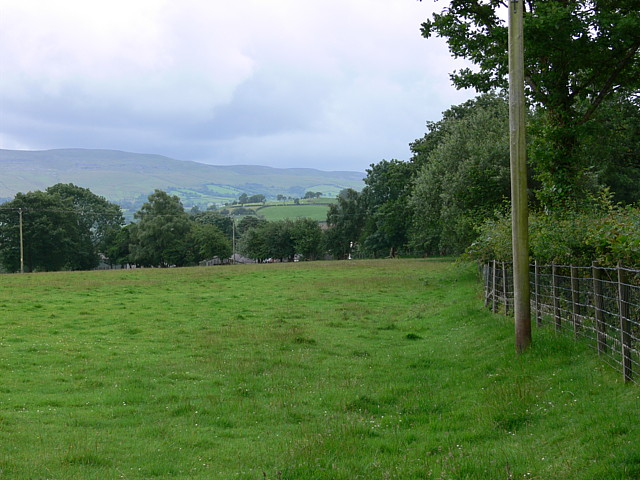
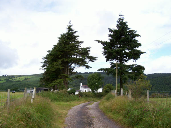
Coed Gwar-allt is a magnificent woodland located in Carmarthenshire, Wales. Spanning over a vast area, it is known for its rich biodiversity and stunning natural beauty. The name "Gwar-allt" translates to "wooded slope," accurately depicting the landscape of this enchanting forest.

Covering both gentle slopes and steep hillsides, Coed Gwar-allt boasts a diverse range of trees and plants. Ancient oak and beech trees dominate the woodland, their towering branches providing a dense canopy that filters sunlight, creating a unique and magical atmosphere. The forest floor is adorned with a vibrant array of wildflowers, ferns, and mosses, adding to the richness of the ecosystem.

The forest is home to numerous species of wildlife, making it a popular destination for nature enthusiasts and birdwatchers. Visitors may spot woodland birds such as woodpeckers, jays, and treecreepers, as well as mammals like badgers, foxes, and deer. The tranquil rivers and streams that meander through the woodland are also home to otters and a variety of fish species.

Coed Gwar-allt offers a network of walking trails, allowing visitors to explore its natural wonders at their own pace. The paths wind through the ancient trees, offering breathtaking views of the surrounding countryside. The forest also has picnic areas and viewpoints, providing opportunities for relaxation and appreciating the beauty of the landscape.

With its diverse flora and fauna, Coed Gwar-allt is not only a haven for wildlife but also a place of respite and tranquility for those seeking solace in nature. Its unspoiled beauty and serene atmosphere make it a must-visit destination for anyone with an appreciation for the natural world.

If you have any feedback on the listing, please let us know in the comments section below.

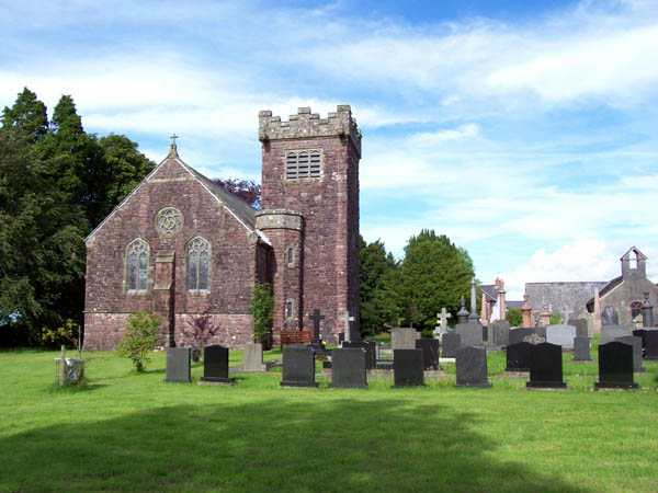
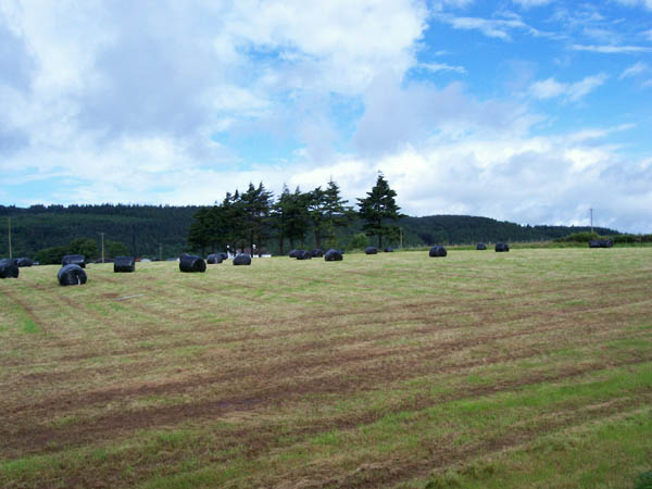
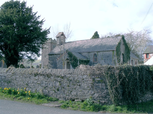
Coed Gwar-allt Images

Images are sourced within 2km of 51.887888/-3.8369471 or Grid Reference SN7322. Thanks to Geograph Open Source API. All images are credited.

Ordnance Survey Cut Mark This OS cut mark can be found on the SE face of Penmaen Farmhouse. It marks a point 246.413m above mean sea level.
Ordnance Survey Cut Mark
This OS cut mark can be found on the SE face of Penmaen Farmhouse. It marks a point 246.413m above mean sea level.
Floodwater near Capel Gwynfe
Gwynfe Community Centre The village seems to be officially called "Capel Gwynfe" but is mostly known as Gwynfe.
Gwynfe Community Centre
The village seems to be officially called "Capel Gwynfe" but is mostly known as Gwynfe.
Gwynfe Church The old church is right next to the new community centre.
Gwynfe Church
The old church is right next to the new community centre.
Falls at Pont Aber These falls on the Afon Sawdde Fechan are just visible from the road bridge but you can get a much better view from the public footpath on the south bank.
Falls at Pont Aber
These falls on the Afon Sawdde Fechan are just visible from the road bridge but you can get a much better view from the public footpath on the south bank.
Field in front of farmstead Farm is named on map as Pen crug.
Field in front of farmstead
Farm is named on map as Pen crug.
A4069 With Turning To Capel-Gwynfe Pen-y-cae-du on left after junction.
A4069 With Turning To Capel-Gwynfe
Pen-y-cae-du on left after junction.
Pontbren A4069

Note: 1:25000 & 1:50000  show road to Heol y gelli junction ( behind me in this photo & to left) in different geosquares.... 1:25k in SN7322 and 1:50k in this geosquare
Pontbren
A4069 Note: 1:25000 & 1:50000 show road to Heol y gelli junction ( behind me in this photo & to left) in different geosquares.... 1:25k in SN7322 and 1:50k in this geosquare
Upper River Valley Of Afon Clydach Overlooking wooded valley where Afon Clydach flows.
Upper River Valley Of Afon Clydach
Overlooking wooded valley where Afon Clydach flows.
Ruin Ruined cottage in pasture near to the edge of Coed Pen-Arthur.
Ruin
Ruined cottage in pasture near to the edge of Coed Pen-Arthur.
Track to Beili Home Farm Track to the farm and footpath leading to Coed Pen Arthur in the right distance.
Track to Beili Home Farm
Track to the farm and footpath leading to Coed Pen Arthur in the right distance.
Traffic jam, Pant y grafog When you erect scaffolding across the road, the courier has to walk to his destination, as there is no viable alternative route. The Royal Mail was also stuck, the red van is just visible on the other side of the blockage.
Traffic jam, Pant y grafog
When you erect scaffolding across the road, the courier has to walk to his destination, as there is no viable alternative route. The Royal Mail was also stuck, the red van is just visible on the other side of the blockage.
Pont Newydd Junction of the A4069 with two unclassified roads making a staggered crossroads over the Afon Sawdde which is in a deep gorge under the bridge.
Pont Newydd
Junction of the A4069 with two unclassified roads making a staggered crossroads over the Afon Sawdde which is in a deep gorge under the bridge.
Bryn Capel Bryn Capel is an imposing building with an attached barn on the south side of the unclassified village road. The foreground is the garden of the Community Centre with its wooden carving of Red Kites, a well-known bird in these parts today.
Bryn Capel
Bryn Capel is an imposing building with an attached barn on the south side of the unclassified village road. The foreground is the garden of the Community Centre with its wooden carving of Red Kites, a well-known bird in these parts today.
All Saints church An imposing building in the local Old Red Sandstone which replaces the old church which is visible to the right adjacent to the shared burial ground.
All Saints church
An imposing building in the local Old Red Sandstone which replaces the old church which is visible to the right adjacent to the shared burial ground.
Old church The old church is still in use as a store adjacent to the road. The simple belfry lends a celtic air to this beautiful building in local stone.
Old church
The old church is still in use as a store adjacent to the road. The simple belfry lends a celtic air to this beautiful building in local stone.
Road to Llangadog The road runs along a ridge with fields on both sides.
Road to Llangadog
The road runs along a ridge with fields on both sides.
Black baggage The farmer has rushed out between showers and cut this field for silage, now neatly sealed in bags and awaiting moving in.
Black baggage
The farmer has rushed out between showers and cut this field for silage, now neatly sealed in bags and awaiting moving in.
Show me another place!

Coed Gwar-allt is located at Grid Ref: SN7322 (Lat: 51.887888, Lng: -3.8369471)

Unitary Authority: Carmarthenshire

Police Authority: Dyfed Powys

What 3 Words

///shuffles.pining.saved. Near Llanddeusant, Carmarthenshire

Nearby Locations

Coed Gwar-allt

Related Wikis

A4069 road

The A4069 is an A road which connects Llandovery with Gwaun-Cae-Gurwen in Wales, UK. == Route == The route begins at the junction with the A474 at the...

Cae Maes-y-ffynnon

Cae Maes-y-ffynnon is a wet unimproved pasture that is a Site of Special Scientific Interest in Carmarthen & Dinefwr, Wales. == See also == List of Sites...

Gwynfe

Gwynfe () or Capel Gwynfe is a small village inside the portion of Brecon Beacons National Park that is in Carmarthenshire, a county of southwestern Wales...

Caeau Heol y Llidiart-coch

Caeau Heol y Llidiart-coch is a Site of Special Scientific Interest in Carmarthenshire, Wales. The site is of special interest for its marshy grassland...

Nearby Amenities

Located within 500m of 51.887888,-3.8369471
Barrier: stile
Lat/Long: 51.8858826/-3.8335593
Building: yes
Lat/Long: 51.8886802/-3.8333197
The data included in this document is from www.openstreetmap.org. The data is made available under ODbL.

Have you been to Coed Gwar-allt?

Leave your review of Coed Gwar-allt below (or comments, questions and feedback).