Allt Pant-y-grafog

Wood, Forest in Carmarthenshire

Wales

Allt Pant-y-grafog

Entrance to Pen Arthur Forest
Entrance to Pen Arthur Forest Credit: Alan Hughes

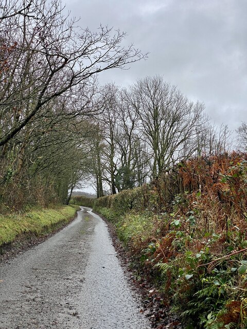
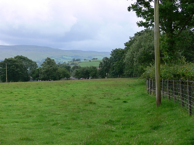
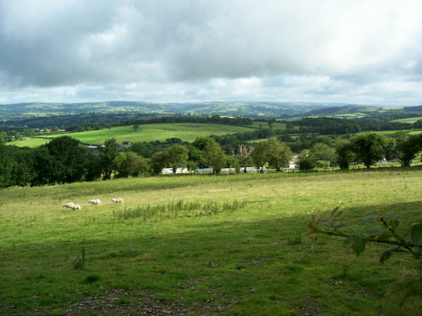
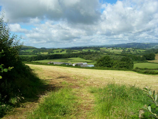
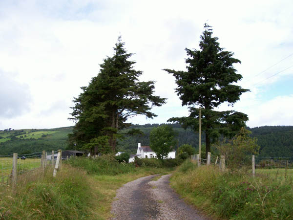
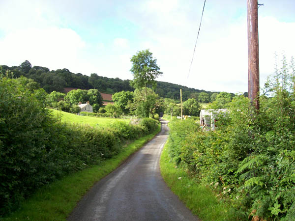
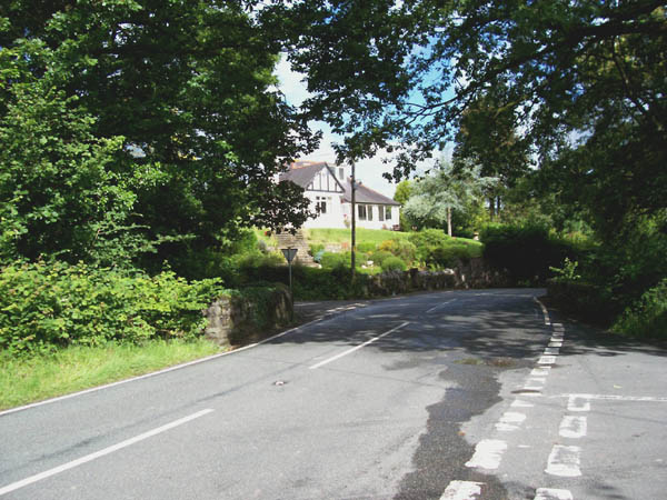
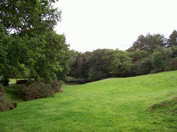
Allt Pant-y-grafog, located in Carmarthenshire, Wales, is a picturesque woodland area known for its natural beauty and tranquil atmosphere. Spanning over a vast area, the forest is home to a diverse range of flora and fauna, making it a popular destination for nature enthusiasts and hikers.

The woodland is primarily composed of deciduous trees such as oak, beech, and ash, creating a stunning display of colors during the autumn months. The forest floor is carpeted with a variety of wildflowers and ferns, adding to the enchanting ambiance of the area. The presence of these trees and plants also provides a habitat for numerous bird species, including woodpeckers, owls, and songbirds.

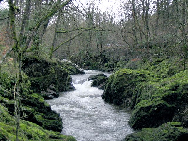
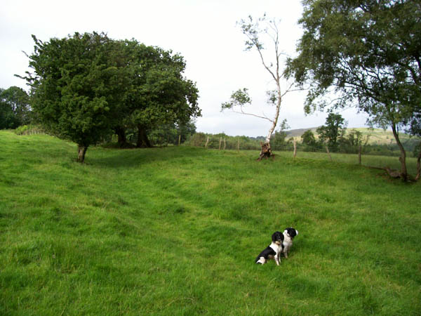
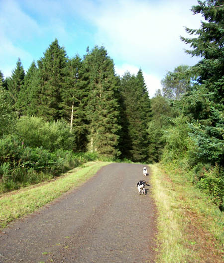
Several trails wind through the forest, offering visitors the opportunity to explore its hidden gems. These paths vary in difficulty, making them accessible to all levels of hikers. Along the way, one may come across babbling brooks, charming waterfalls, and even old ruins from centuries past, adding a touch of mystery and history to the experience.

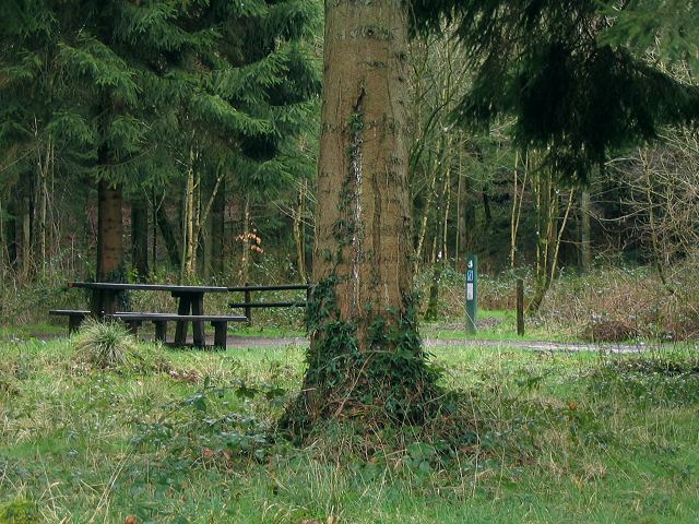
Allt Pant-y-grafog is not only a haven for wildlife but also serves as a recreational area for locals and tourists alike. Families often come to enjoy picnics, while adventure seekers can partake in activities such as mountain biking or horseback riding. The forest also hosts educational programs and guided tours, providing visitors with an opportunity to learn more about the ecosystem and conservation efforts taking place in the area.

Overall, Allt Pant-y-grafog is a gem of Carmarthenshire, offering a serene escape into nature for all who visit.

If you have any feedback on the listing, please let us know in the comments section below.

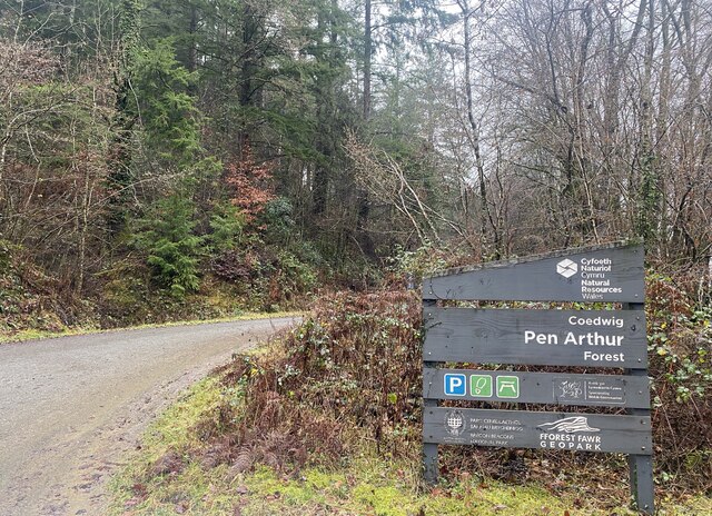
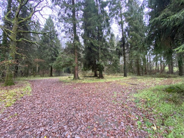
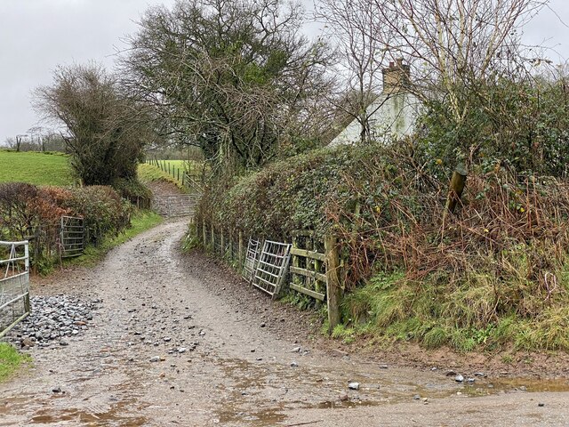
Allt Pant-y-grafog Images

Images are sourced within 2km of 51.908253/-3.8531015 or Grid Reference SN7224. Thanks to Geograph Open Source API. All images are credited.

Entrance to Pen Arthur Forest
Woodland near Coed Shôn
Pantmeinog Farm
Pantmeinog Farm
Farm buildings at Pantmeinog
Country lane in Carmarthenshire Approaching Pantmeinog.
Country lane in Carmarthenshire
Approaching Pantmeinog.
Waterfall on Afon Sawdde This is the river Sawdde flowing north towards Llangadog.
At this point there are roads either side of it: a minor one on the left bank; and the A4069 to Brynaman on the right.
The whole length of the riverbank here is composed of upended strata of rock. You can drive past thousands of years of geology without even realising it.
Waterfall on Afon Sawdde
This is the river Sawdde flowing north towards Llangadog. At this point there are roads either side of it: a minor one on the left bank; and the A4069 to Brynaman on the right. The whole length of the riverbank here is composed of upended strata of rock. You can drive past thousands of years of geology without even realising it.
Sediment ripples in roadside quarry At the side of the minor road by the river Sawdde there is a small quarry (or large alcove). As with the riverbank, it is composed of upended strata. Here though the thick clumsy layers are replaced with thinner, more delicate strata.
On the vertical face you can see ripples in the sediment that once lay flat, presumably caused by wind or water.
Sediment ripples in roadside quarry
At the side of the minor road by the river Sawdde there is a small quarry (or large alcove). As with the riverbank, it is composed of upended strata. Here though the thick clumsy layers are replaced with thinner, more delicate strata. On the vertical face you can see ripples in the sediment that once lay flat, presumably caused by wind or water.
Entrance to Coed Pen Arthur The Forestry Commission sign for this entrance gives the name Coed Pen Arthur, but their web site also list this point as Coed Shon.
There is a picnic table and a circular drive with no well defined car parking spaces.
Deeper in the Pen Arthur forest there is apparently a woodland sauna !
See this link: <span class="nowrap"><a title="http://www.forestry.gov.uk/website/recreation.nsf/LUWebDocsByKey/WalesCarmarthenshireTowyValleyForestsPenArthur" rel="nofollow ugc noopener" href="http://www.forestry.gov.uk/website/recreation.nsf/LUWebDocsByKey/WalesCarmarthenshireTowyValleyForestsPenArthur">Link</a><img style="margin-left:2px;" alt="External link" title="External link - shift click to open in new window" src="https://s1.geograph.org.uk/img/external.png" width="10" height="10"/></span>
Entrance to Coed Pen Arthur
The Forestry Commission sign for this entrance gives the name Coed Pen Arthur, but their web site also list this point as Coed Shon. There is a picnic table and a circular drive with no well defined car parking spaces. Deeper in the Pen Arthur forest there is apparently a woodland sauna ! See this link: LinkExternal link
Field in front of farmstead Farm is named on map as Pen crug.
Field in front of farmstead
Farm is named on map as Pen crug.
Green lane Green lane marked as "Other Public Access" near to Careg-foel-gam.
Green lane
Green lane marked as "Other Public Access" near to Careg-foel-gam.
Coed Pen-Arthur Forest track near to the northern margin of this large Forestry Commission woodland.
Coed Pen-Arthur
Forest track near to the northern margin of this large Forestry Commission woodland.
Caeaubychain Bach One of several small farms spread out on the flank of the Towy Valley
Caeaubychain Bach
One of several small farms spread out on the flank of the Towy Valley
Caeaubychain Mawr A farm with extensive outbuildings (and kennels from the sound) on the southern flank of the broad Towy valley. The field has yielded a silage crop in the days before the picture was taken, hence the bleached grass.
Caeaubychain Mawr
A farm with extensive outbuildings (and kennels from the sound) on the southern flank of the broad Towy valley. The field has yielded a silage crop in the days before the picture was taken, hence the bleached grass.
Track to Beili Home Farm Track to the farm and footpath leading to Coed Pen Arthur in the right distance.
Track to Beili Home Farm
Track to the farm and footpath leading to Coed Pen Arthur in the right distance.
Pantmeinog Another farm straddling an unclassified road.
Pantmeinog
Another farm straddling an unclassified road.
Traffic jam, Pant y grafog When you erect scaffolding across the road, the courier has to walk to his destination, as there is no viable alternative route. The Royal Mail was also stuck, the red van is just visible on the other side of the blockage.
Traffic jam, Pant y grafog
When you erect scaffolding across the road, the courier has to walk to his destination, as there is no viable alternative route. The Royal Mail was also stuck, the red van is just visible on the other side of the blockage.
Pont Newydd Junction of the A4069 with two unclassified roads making a staggered crossroads over the Afon Sawdde which is in a deep gorge under the bridge.
Pont Newydd
Junction of the A4069 with two unclassified roads making a staggered crossroads over the Afon Sawdde which is in a deep gorge under the bridge.
Forest margin Coed Pen Arthur reaches its north-westerly extremity here, where the green lane descends from Careg foel-gam and turns to follow the stream steeply down the valley side.
Forest margin
Coed Pen Arthur reaches its north-westerly extremity here, where the green lane descends from Careg foel-gam and turns to follow the stream steeply down the valley side.
Show me another place!

Allt Pant-y-grafog is located at Grid Ref: SN7224 (Lat: 51.908253, Lng: -3.8531015)

Unitary Authority: Carmarthenshire

Police Authority: Dyfed Powys

What 3 Words

///skin.options.warned. Near Llanddeusant, Carmarthenshire

Related Wikis

Bont Fawr

Bont Fawr is a tiny hamlet in Carmarthenshire, Wales.

A4069 road

The A4069 is an A road which connects Llandovery with Gwaun-Cae-Gurwen in Wales, UK. == Route == The route begins at the junction with the A474 at the...

Cae Maes-y-ffynnon

Cae Maes-y-ffynnon is a wet unimproved pasture that is a Site of Special Scientific Interest in Carmarthen & Dinefwr, Wales. == See also == List of Sites...

Gwynfe

Gwynfe () or Capel Gwynfe is a small village inside the portion of Brecon Beacons National Park that is in Carmarthenshire, a county of southwestern Wales...

Related Videos

RS5 in the welsh mountains with a McLaren 570S, Mercedes AMG GT, BMW z4 competition and a BMW i8

Photo shoot in the Welsh mountains with a McLaren 570S, Mercedes AMG gt, BMW m4 competition, Audi RS5 Sportback and ...

Bryngaer y Garn Goch - Garn Goch Hill Fort (South West Wales)

Y Garn Goch is notable for the two impressive Iron Age hillforts of Y Gaer Fawr, (English: the big fort) and Y Gaer Fach, (English: ...

Nearby Amenities

Located within 500m of 51.908253,-3.8531015
Post Box
Collection Times: Mo-Fr 15:00; Sa 11:00
Post Box Type: wall
Ref: SA19 98
Royal Cypher: EIIR
Royal Cypher Wikidata: Q33102113
Lat/Long: 51.9044277/-3.8505608
Direction: 145
Generator Method: photovoltaic
Generator Output Electricity: yes
Generator Solar Modules: 12
Generator Source: solar
Generator Type: solar_photovoltaic_panel
Location: roof
Power: generator
Lat/Long: 51.9043172/-3.8502899
The data included in this document is from www.openstreetmap.org. The data is made available under ODbL.

Have you been to Allt Pant-y-grafog?

Leave your review of Allt Pant-y-grafog below (or comments, questions and feedback).