Blaen-egel Wood

Wood, Forest in Glamorgan

Wales

Blaen-egel Wood

Community wind farm, Mynydd y Gwrhyd Entrance to the community wind farm.

<span class="nowrap"><a title="https://gov.wales/sites/default/files/inline-documents/2019-09/awel-co-op-mynydd-y-gwrhyd-wind-farm.pdf" rel="nofollow ugc noopener" href="https://gov.wales/sites/default/files/inline-documents/2019-09/awel-co-op-mynydd-y-gwrhyd-wind-farm.pdf">Link</a><img style="margin-left:2px;" alt="External link" title="External link - shift click to open in new window" src="https://s1.geograph.org.uk/img/external.png" width="10" height="10"/></span>
Community wind farm, Mynydd y Gwrhyd Credit: Alan Hughes

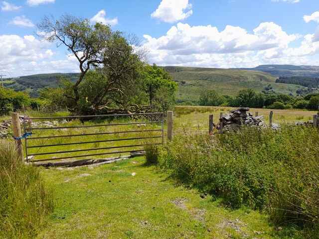
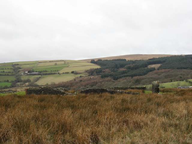
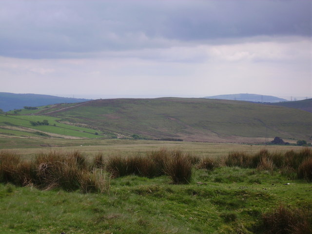
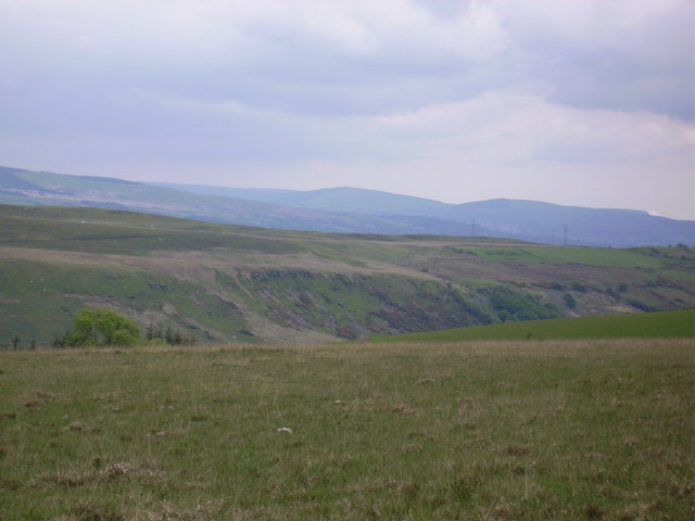
Blaen-egel Wood, located in Glamorgan, Wales, is a captivating woodland area known for its natural beauty and rich biodiversity. Covering a vast expanse of approximately 200 acres, this enchanting forest is a haven for nature lovers and outdoor enthusiasts.

The wood is predominantly composed of ancient oak trees, which create a dense canopy, allowing only dappled sunlight to filter through to the forest floor. This creates a magical atmosphere as visitors walk along the well-maintained trails, surrounded by towering trees and a kaleidoscope of flora and fauna.

The forest boasts an impressive variety of wildlife, including numerous bird species, such as woodpeckers, thrushes, and owls. Small mammals, such as squirrels and rabbits, can be spotted scurrying amongst the undergrowth, while deer may occasionally be seen grazing in the meadow areas.

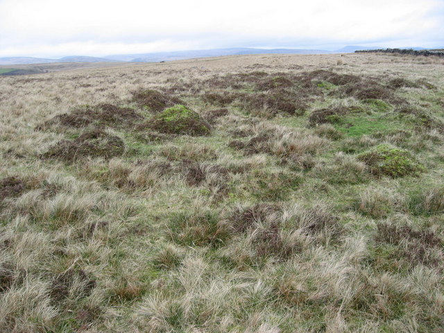
Blaen-egel Wood is also home to a diverse range of plant life, with an array of wildflowers carpeting the forest floor during the spring and summer months. Bluebells, primroses, and foxgloves add bursts of color to the woodland landscape.

Visitors to the wood can enjoy a range of activities, including walking, birdwatching, and photography. There are well-marked trails that cater to different fitness levels and interests, ensuring that everyone can explore and appreciate the beauty of this natural gem.

Overall, Blaen-egel Wood offers a serene and captivating experience, providing visitors with a chance to immerse themselves in nature and escape the hustle and bustle of everyday life.

If you have any feedback on the listing, please let us know in the comments section below.

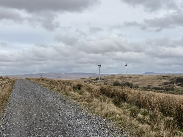
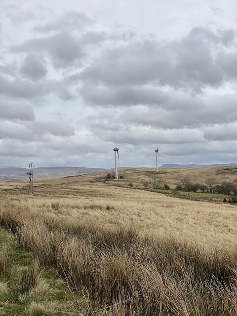
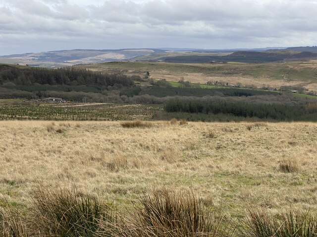
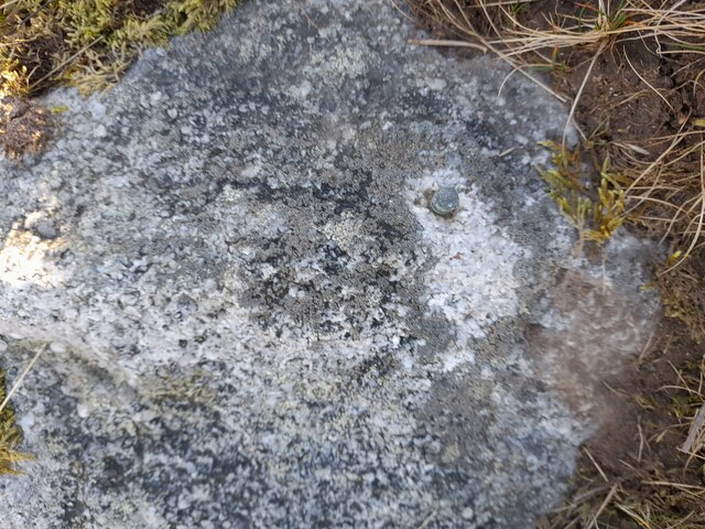
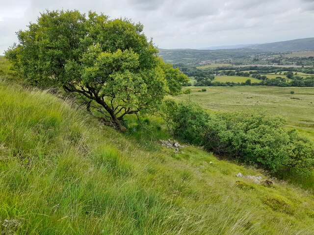
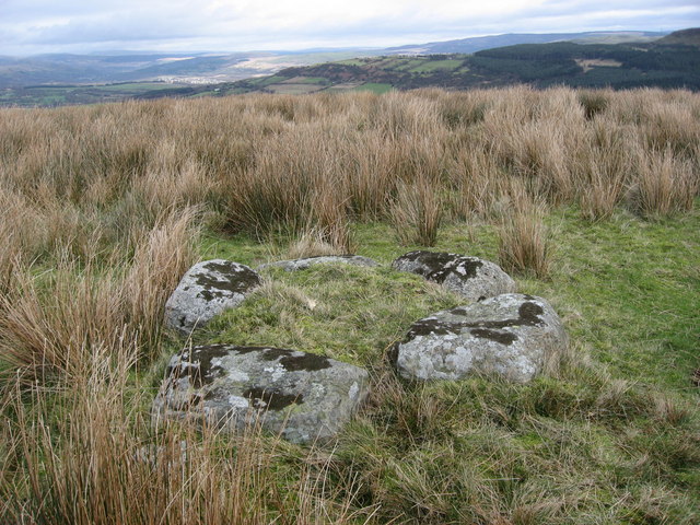
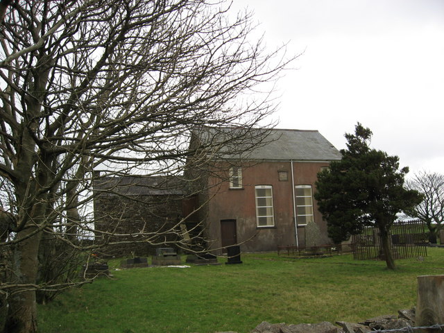
Blaen-egel Wood Images

Images are sourced within 2km of 51.76956/-3.8473848 or Grid Reference SN7209. Thanks to Geograph Open Source API. All images are credited.

Community wind farm, Mynydd y Gwrhyd Entrance to the community wind farm.

<span class="nowrap"><a title="https://gov.wales/sites/default/files/inline-documents/2019-09/awel-co-op-mynydd-y-gwrhyd-wind-farm.pdf" rel="nofollow ugc noopener" href="https://gov.wales/sites/default/files/inline-documents/2019-09/awel-co-op-mynydd-y-gwrhyd-wind-farm.pdf">Link</a><img style="margin-left:2px;" alt="External link" title="External link - shift click to open in new window" src="https://s1.geograph.org.uk/img/external.png" width="10" height="10"/></span>
Community wind farm, Mynydd y Gwrhyd
Entrance to the community wind farm. LinkExternal link
Gated farm entrance Entrance to Cwrt y Bariwns.
Gated farm entrance
Entrance to Cwrt y Bariwns.
Moorland/Field Boundary
Gwrhyd Specialist Stone Quarry
Gateway From Moorland to Pasture
Mountain track The track leads to the community wind turbines on Mynydd Gwrhyd.
Mountain track
The track leads to the community wind turbines on Mynydd Gwrhyd.
Wind turbines Community wind farm on Mynydd Gwrhyd.
Wind turbines
Community wind farm on Mynydd Gwrhyd.
View down Cwm Egel
View down Cwm Egel
Ordnance Survey Rivet This OS rivet can be found on a stone SE side of the road. It marks a point 298.649m above mean sea level.
Ordnance Survey Rivet
This OS rivet can be found on a stone SE side of the road. It marks a point 298.649m above mean sea level.
Willows on Penlle'r Fedwen
Cairn Rather beautiful flower shape cairn on higher ground over looking Gwrhyd Chapel rolling hilltops toward the east and Gwrhyd chapel to the north. There appears to be a line of cairns either side of the Gwryd mountain road leading to Cwmllynfell. This one is the most identifiable and interesting so far.
Cairn
Rather beautiful flower shape cairn on higher ground over looking Gwrhyd Chapel rolling hilltops toward the east and Gwrhyd chapel to the north. There appears to be a line of cairns either side of the Gwryd mountain road leading to Cwmllynfell. This one is the most identifiable and interesting so far.
Gwrhyd Chapel Very bleak and isolated but very neat and well kept graveyard
Gwrhyd Chapel
Very bleak and isolated but very neat and well kept graveyard
Ruins of old Fever Hospital Isolated ruins of fever hospital which was used as an isolation hospital for patients with TB or measles. Information given by deceased resident of Pontardawe who remembered a friend with TB going there in early 20th century.
Ruins of old Fever Hospital
Isolated ruins of fever hospital which was used as an isolation hospital for patients with TB or measles. Information given by deceased resident of Pontardawe who remembered a friend with TB going there in early 20th century.
Two Cairns, one large one small Cairn identified from round indentation in ground and position from stone wall. Largest cairn can be seen in photo by vegetation colour, the  smaller seems to be one, two or three stones nearby.  Mumbles/Swansea Bay is in the distant west and Bagland Bay in the east of photo.
Two Cairns, one large one small
Cairn identified from round indentation in ground and position from stone wall. Largest cairn can be seen in photo by vegetation colour, the smaller seems to be one, two or three stones nearby. Mumbles/Swansea Bay is in the distant west and Bagland Bay in the east of photo.
Rocky outcrop Outcrop just off the road on this bleak stretch of mountain,just the odd farm and a few green lanes used by 4x4 drivers.
Rocky outcrop
Outcrop just off the road on this bleak stretch of mountain,just the odd farm and a few green lanes used by 4x4 drivers.
Mynydd y garth Mynydd y garth from Mynydd uchaf.
Mynydd y garth
Mynydd y garth from Mynydd uchaf.
Cefn Gwrhyd . Cefn Gwrhyd and cwm egel from the eastern slopes of Mynydd Uchaf.
Cefn Gwrhyd .
Cefn Gwrhyd and cwm egel from the eastern slopes of Mynydd Uchaf.
Gateway to Blaenegel. This is the gate that leads onto the track to Blaenegel farm.
Gateway to Blaenegel.
This is the gate that leads onto the track to Blaenegel farm.
Show me another place!

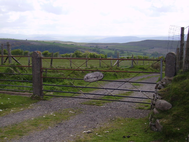
Blaen-egel Wood is located at Grid Ref: SN7209 (Lat: 51.76956, Lng: -3.8473848)

Unitary Authority: Neath Port Talbot

Police Authority: South Wales

What 3 Words

///sampling.clearcut.powerful. Near Brynamman, Neath Port Talbot

Nearby Locations

Blaen-egel Wood

Related Wikis

Cwmgors

Cwmgors is a village in the county of Glamorgan, and administered as part of the unitary authority borough of Neath Port Talbot, Wales. It is part of the...

Rhiwfawr

Rhiwfawr is a village of just under 100 houses in the Swansea Valley, in Neath Port Talbot county borough, Wales. == Location == Most of the village is...

Abernant Colliery

Abernant Colliery was a coal mine in the River Amman valley at Pwllfawatkin, 4 miles (6.4 km) north of Pontardawe and 13 miles (21 km) north of Swansea...

Gwaun-Cae-Gurwen (electoral ward)

Gwaun-Cae-Gurwen is an electoral ward of Neath Port Talbot county borough, Wales. The ward of Gwaun-Cae-Gurwen along with the Lower Brynamman electoral...

Gwaun-Cae-Gurwen

Gwaun-Cae-Gurwen (Welsh: Gwauncaegurwen) is a village and community in Neath Port Talbot, South West Wales. Historically a part of Glamorgan, Gwaun-Cae...

Mynydd Allt-y-grug

Mynydd Allt-y-grug is a 338-metre-high hill immediately west of Ystalyfera in the county borough of Neath Port Talbot in South Wales. Its twin summits...

Gwys railway station

Gwys railway station served the village of Upper Cwmtwrch, in the historical county of Brecknockshire, Wales, from 1868 to 1950 on the Swansea Vale Railway...

Nant Gwys

The Nant Gwys is a river flowing off the Black Mountain (Y Mynydd Du) in Powys, Wales. Its tributaries Gwys Fawr and the Gwys Fach flow south from Banwen...

Nearby Amenities

Located within 500m of 51.76956,-3.8473848
Power: pole
Lat/Long: 51.772572/-3.8420311
Power: pole
Lat/Long: 51.7727114/-3.8425112
Power: pole
Lat/Long: 51.7737105/-3.845475
The data included in this document is from www.openstreetmap.org. The data is made available under ODbL.

Have you been to Blaen-egel Wood?

Leave your review of Blaen-egel Wood below (or comments, questions and feedback).