Allt Rhiw'r-hwch Isaf

Wood, Forest in Carmarthenshire

Wales

Allt Rhiw'r-hwch Isaf

Rolling Carmarthenshire countryside Rolling Carmarthenshire countryside to the south of Porthrhyd.
Rolling Carmarthenshire countryside Credit: Philip Halling

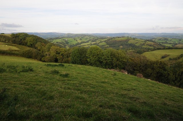
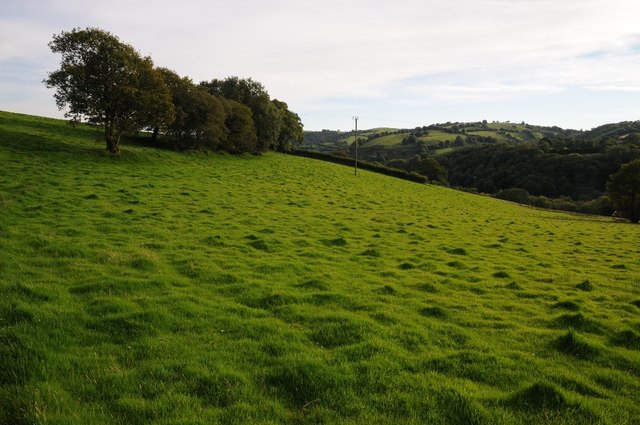
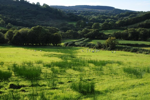
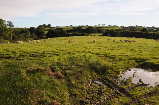
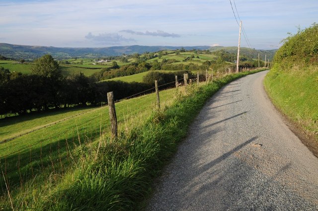
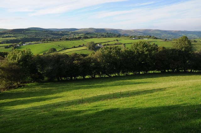
Allt Rhiw'r-hwch Isaf is a charming woodland located in Carmarthenshire, Wales. Spanning over a vast area, this forest is known for its natural beauty and diverse range of flora and fauna.

The woodland features a variety of trees, including oak, birch, and beech, which create a lush and vibrant environment. The forest floor is covered in a thick carpet of moss and ferns, adding to its enchanting atmosphere. The presence of these trees and plants provides a habitat for numerous wildlife species, including birds, squirrels, and deer.

Allt Rhiw'r-hwch Isaf is popular among nature enthusiasts, offering various walking trails and paths that allow visitors to explore the forest at their own pace. These trails are well-maintained and provide stunning views of the surrounding countryside. The forest also features picnic areas and benches, providing a perfect spot for visitors to relax and enjoy the serene surroundings.

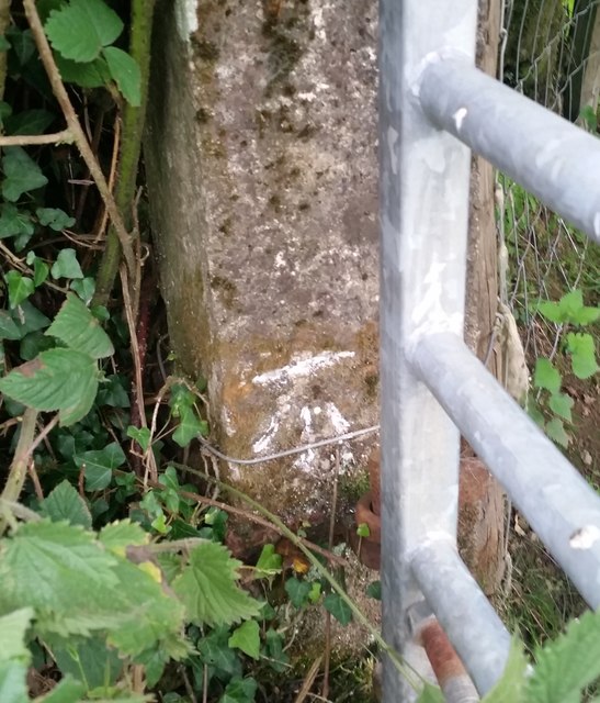
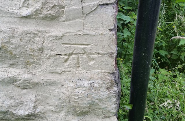
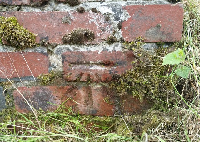
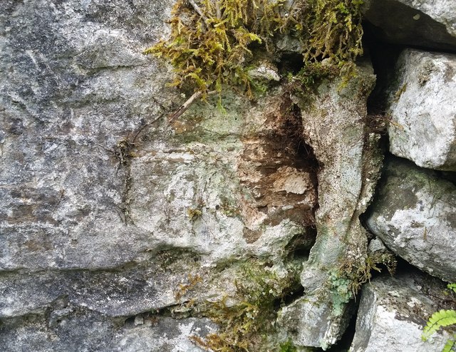
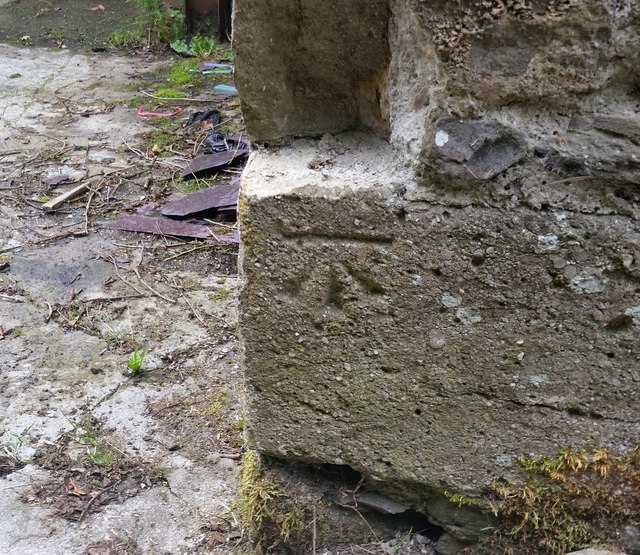
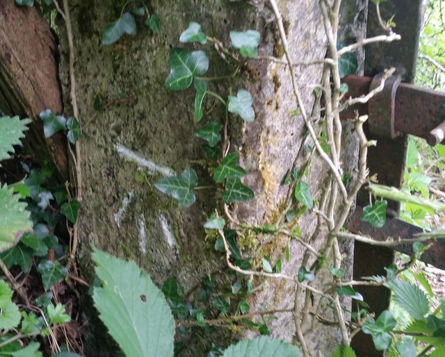
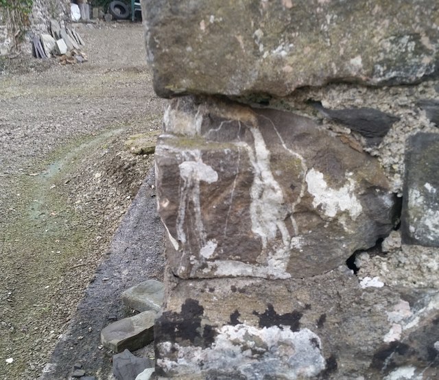
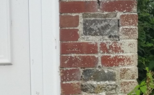
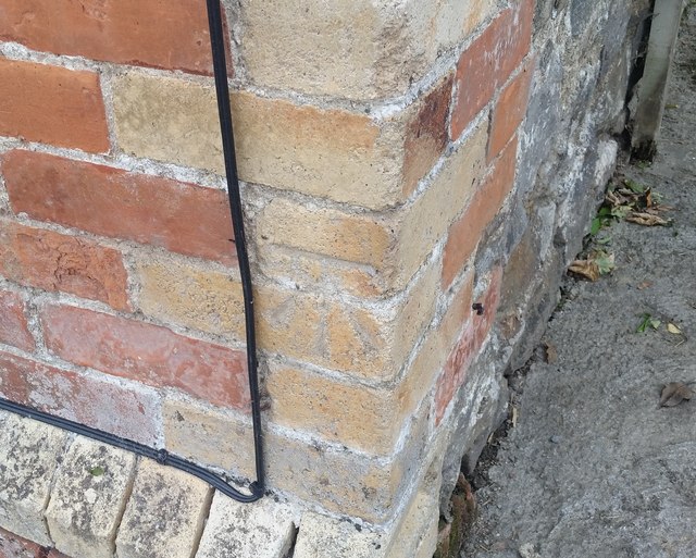
In addition to its natural beauty, Allt Rhiw'r-hwch Isaf holds historical significance. The forest has remnants of ancient settlements, including old stone walls and ruins, which provide insight into the area's past.

Overall, Allt Rhiw'r-hwch Isaf is a captivating woodland in Carmarthenshire, offering a peaceful and idyllic escape from the busy urban life. Its stunning natural landscapes, diverse wildlife, and historical features make it an ideal destination for nature lovers and those seeking tranquility in the heart of Wales.

If you have any feedback on the listing, please let us know in the comments section below.

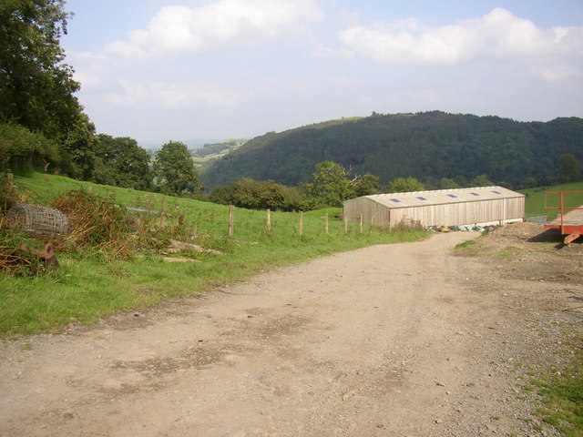
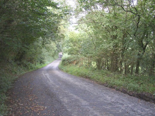
Allt Rhiw'r-hwch Isaf Images

Images are sourced within 2km of 52.001189/-3.8567783 or Grid Reference SN7235. Thanks to Geograph Open Source API. All images are credited.

Rolling Carmarthenshire countryside Rolling Carmarthenshire countryside to the south of Porthrhyd.
Rolling Carmarthenshire countryside
Rolling Carmarthenshire countryside to the south of Porthrhyd.
The remains of a hedgerow The remains of a hedgerow in farmland near Bwlch-tre-banau.
The remains of a hedgerow
The remains of a hedgerow in farmland near Bwlch-tre-banau.
Wet pasture Sheep in a field in a valley below Rhiwrhwch Isaf.
Wet pasture
Sheep in a field in a valley below Rhiwrhwch Isaf.
Sheep in a field Sheep in a field near Bwlchcymanfa.  A footpath crosses this field.
Sheep in a field
Sheep in a field near Bwlchcymanfa. A footpath crosses this field.
Country road near Allt Rhiw'r-hwch Uchaf View to the north-east across countryside near Allt Rhiw'r-hwch Uchaf. The same view as seven years ago <a href="https://www.geograph.org.uk/photo/980015">SN7335 : Country road near Allt Rhiw'r-hwch Uchaf</a>
Country road near Allt Rhiw'r-hwch Uchaf
View to the north-east across countryside near Allt Rhiw'r-hwch Uchaf. The same view as seven years ago SN7335 : Country road near Allt Rhiw'r-hwch Uchaf
Farmland above Allt Rhiw'r-hwch Uchaf
Ordnance Survey Cut Mark This OS cut mark can be found on the concrete gatepost east side of the road. It marks a point 235.701m above mean sea level.
Ordnance Survey Cut Mark
This OS cut mark can be found on the concrete gatepost east side of the road. It marks a point 235.701m above mean sea level.
Ordnance Survey Cut Mark This OS cut mark can be found on the barn at Rhiwrhwlch. It marks a point 140.781m above mean sea level.
Ordnance Survey Cut Mark
This OS cut mark can be found on the barn at Rhiwrhwlch. It marks a point 140.781m above mean sea level.
Ordnance Survey Cut Mark This OS cut mark can be found on the churn stand SE side of the road. It marks a point 222.489m above mean sea level.
Ordnance Survey Cut Mark
This OS cut mark can be found on the churn stand SE side of the road. It marks a point 222.489m above mean sea level.
Ordnance Survey Cut Mark This OS cut mark can be found on the barn at Bwlch-y-gwynt. It marks a point 211.062m above mean sea level.
Ordnance Survey Cut Mark
This OS cut mark can be found on the barn at Bwlch-y-gwynt. It marks a point 211.062m above mean sea level.
Ordnance Survey Cut Mark This OS cut mark can be found on the barn at Llanwrda Farm. It marks a point 193.974m above mean sea level.
Ordnance Survey Cut Mark
This OS cut mark can be found on the barn at Llanwrda Farm. It marks a point 193.974m above mean sea level.
Ordnance Survey Cut Mark This OS cut mark can be found on the concrete gatepost SW side of the road. It marks a point 176.542m above mean sea level.
Ordnance Survey Cut Mark
This OS cut mark can be found on the concrete gatepost SW side of the road. It marks a point 176.542m above mean sea level.
Ordnance Survey Cut Mark All that remains of this OS cut mark is the tips of the arrow. It can be found on the barn at Cwm Mynys Farm. It marks a point 80.871m above mean sea level.
Ordnance Survey Cut Mark
All that remains of this OS cut mark is the tips of the arrow. It can be found on the barn at Cwm Mynys Farm. It marks a point 80.871m above mean sea level.
Ordnance Survey Cut Mark This OS cut mark can be found on No2 Glyncoch. It marks a point 75.450m above mean sea level.
Ordnance Survey Cut Mark
This OS cut mark can be found on No2 Glyncoch. It marks a point 75.450m above mean sea level.
Ordnance Survey Cut Mark This OS cut mark can be found on the NE angle of Tirbanal. It marks a point 94.778m above mean sea level.
Ordnance Survey Cut Mark
This OS cut mark can be found on the NE angle of Tirbanal. It marks a point 94.778m above mean sea level.
Hay Bales on farmland Farm machinery at work on the land also
Hay Bales on farmland
Farm machinery at work on the land also
Farm building on edge of hill
View down the steep hill on road
Show me another place!

Allt Rhiw'r-hwch Isaf is located at Grid Ref: SN7235 (Lat: 52.001189, Lng: -3.8567783)

Unitary Authority: Carmarthenshire

Police Authority: Dyfed Powys

What 3 Words

///disposing.skyrocket.surreal. Near Llandovery, Carmarthenshire

Nearby Locations

Allt Rhiw'r-hwch Isaf

Related Wikis

Afon Brân

The Afon Brân is a tributary of the River Towy (or Welsh Afon Tywi) in mid Wales. Its headwaters rise in Irfon Forest in the northeastern corner of Carmarthenshire...

Dolauhirion Bridge

Dolauhirion Bridge (Welsh: Pont Dolauhirion) is a single arch stone bridge which carries road traffic from Llandovery to Cilycwm over the River Towy (Welsh...

Llandovery railway station

Llandovery railway station serves the market town of Llandovery, Carmarthenshire, Wales. The station is on the Heart of Wales Line 42 miles (68 km) north...

Llanwrda

Llanwrda ([ɬanʊrˈda] ) is a village and community in Carmarthenshire, Wales, 4 miles (6.4 km) southwest of Llandovery. It lies on the River Towy. The population...

Nearby Amenities

Located within 500m of 52.001189,-3.8567783
Building: yes
Lat/Long: 52.0001711/-3.8631043
Direction: 125
Generator Method: photovoltaic
Generator Output Electricity: yes
Generator Solar Modules: 16
Generator Source: solar
Generator Type: solar_photovoltaic_panel
Location: roof
Power: generator
Lat/Long: 52.0001288/-3.8631773
The data included in this document is from www.openstreetmap.org. The data is made available under ODbL.

Have you been to Allt Rhiw'r-hwch Isaf?

Leave your review of Allt Rhiw'r-hwch Isaf below (or comments, questions and feedback).