Allt y Fedw

Wood, Forest in Carmarthenshire

Wales

Allt y Fedw

Entrance to Pen Arthur Forest
Entrance to Pen Arthur Forest Credit: Alan Hughes

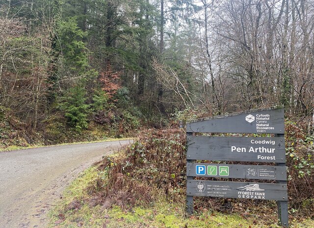
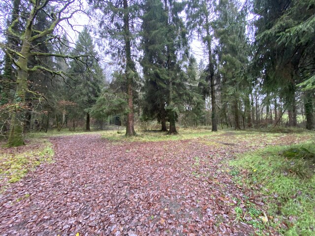
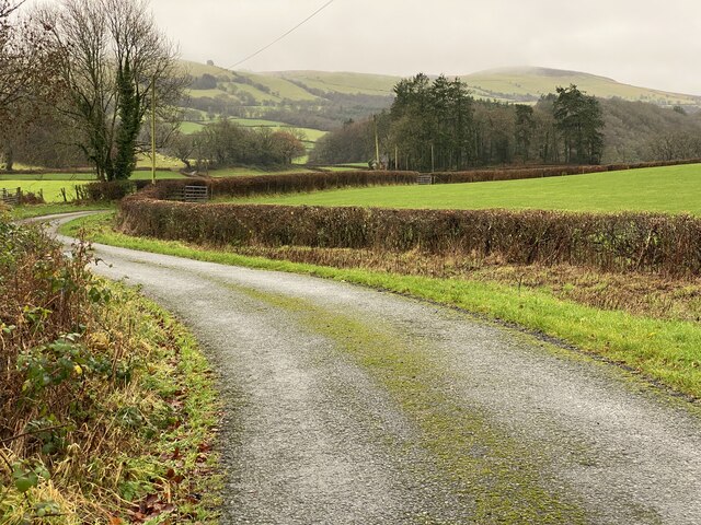
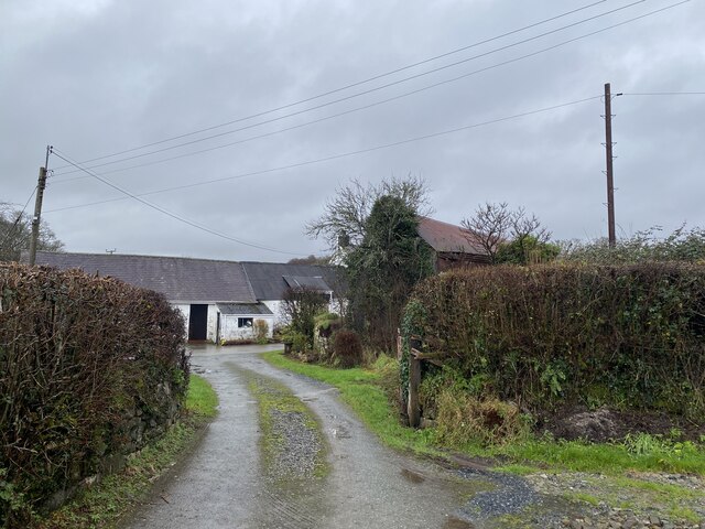
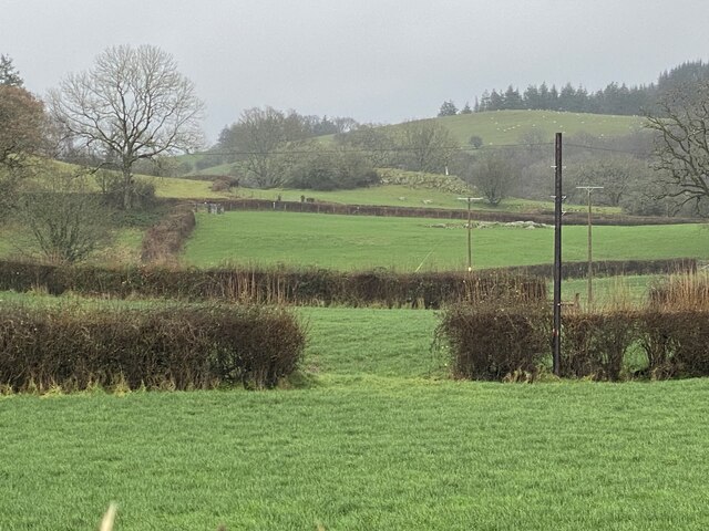
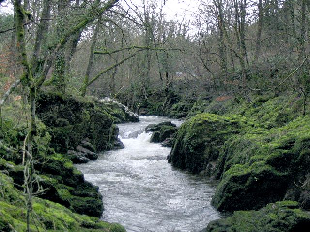
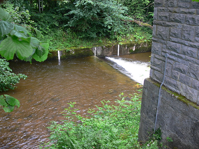
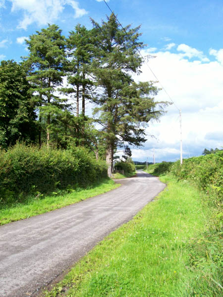
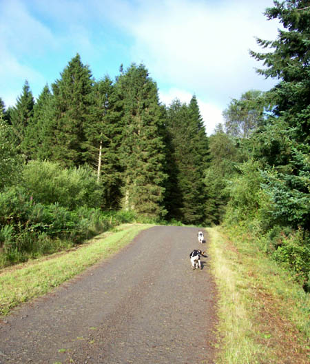
Allt y Fedw is a picturesque woodland located in Carmarthenshire, Wales. Situated on the western edge of the Brecon Beacons National Park, it covers an area of approximately 500 acres. The woodland is mainly composed of broadleaf trees such as oak, beech, ash, and birch, creating a diverse and vibrant ecosystem.

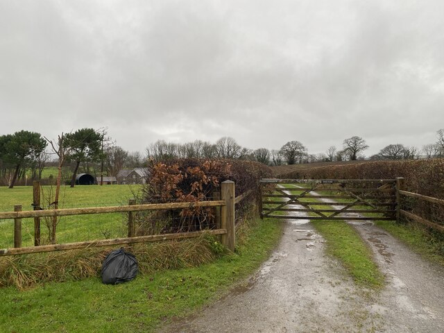
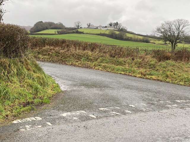
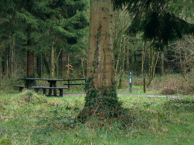
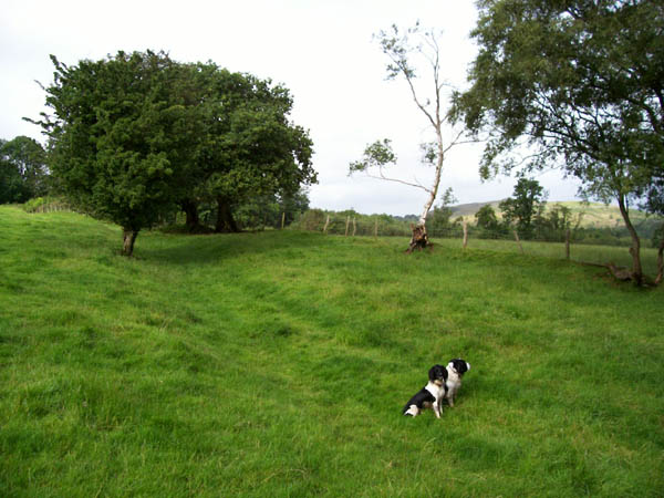
The site is renowned for its natural beauty, offering visitors a tranquil and serene environment. It is a popular destination for nature enthusiasts and hikers, providing numerous walking trails that wind through the forest. These trails offer breathtaking views of the surrounding countryside and allow visitors to appreciate the diverse flora and fauna that call Allt y Fedw their home.

The woodland is also home to a variety of wildlife, including deer, badgers, foxes, and a plethora of bird species. Birdwatchers will be delighted by the opportunity to spot rare and elusive birds such as red kites, buzzards, and woodpeckers.

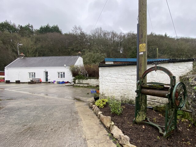
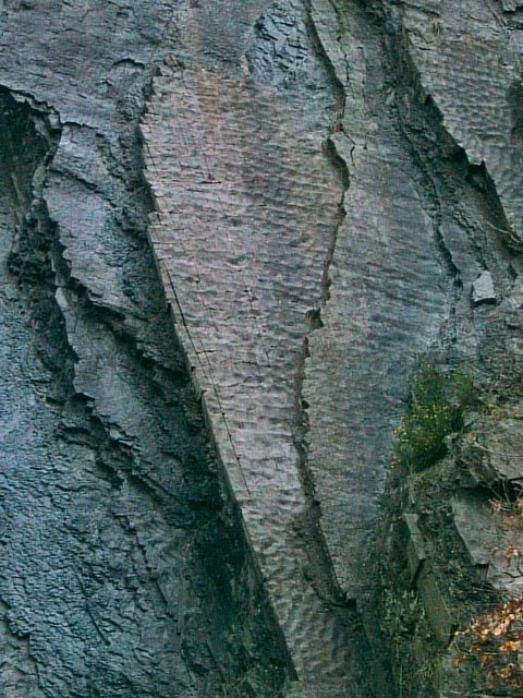
Allt y Fedw has a rich history dating back hundreds of years. The woodland was once used as a source of timber for local industries, and remnants of old sawmills can still be found within the forest. The area is also steeped in folklore and legends, adding an air of mystery to the already enchanting surroundings.

Overall, Allt y Fedw is a captivating woodland that offers visitors a chance to connect with nature and explore the beauty of the Welsh countryside. Whether it's a leisurely walk or an adventurous hike, this forest provides a truly unforgettable experience.

If you have any feedback on the listing, please let us know in the comments section below.

Allt y Fedw Images

Images are sourced within 2km of 51.908594/-3.8605737 or Grid Reference SN7224. Thanks to Geograph Open Source API. All images are credited.

Entrance to Pen Arthur Forest
Woodland near Coed Shôn
Track to Dau Gae
Track to Dau Gae
Road junction near Pen y Banc Farm The farm can be seen on the hill in the distance.
Road junction near Pen y Banc Farm
The farm can be seen on the hill in the distance.
Entrance to Pen y Banc Farm
Country lane towards Coed Duon
Llysbrychan Farm
Llysbrychan Farm
Dan y Garn Farm
Dan y Garn Farm
Site of Roman Villa The field beyond the gap in the hedge is the site of a Roman Villa, according to the OS map.
Site of Roman Villa
The field beyond the gap in the hedge is the site of a Roman Villa, according to the OS map.
Footpath towards Dyffryn Ceidrych
Waterfall on Afon Sawdde This is the river Sawdde flowing north towards Llangadog.
At this point there are roads either side of it: a minor one on the left bank; and the A4069 to Brynaman on the right.
The whole length of the riverbank here is composed of upended strata of rock. You can drive past thousands of years of geology without even realising it.
Waterfall on Afon Sawdde
This is the river Sawdde flowing north towards Llangadog. At this point there are roads either side of it: a minor one on the left bank; and the A4069 to Brynaman on the right. The whole length of the riverbank here is composed of upended strata of rock. You can drive past thousands of years of geology without even realising it.
Sediment ripples in roadside quarry At the side of the minor road by the river Sawdde there is a small quarry (or large alcove). As with the riverbank, it is composed of upended strata. Here though the thick clumsy layers are replaced with thinner, more delicate strata.
On the vertical face you can see ripples in the sediment that once lay flat, presumably caused by wind or water.
Sediment ripples in roadside quarry
At the side of the minor road by the river Sawdde there is a small quarry (or large alcove). As with the riverbank, it is composed of upended strata. Here though the thick clumsy layers are replaced with thinner, more delicate strata. On the vertical face you can see ripples in the sediment that once lay flat, presumably caused by wind or water.
Entrance to Coed Pen Arthur The Forestry Commission sign for this entrance gives the name Coed Pen Arthur, but their web site also list this point as Coed Shon.
There is a picnic table and a circular drive with no well defined car parking spaces.
Deeper in the Pen Arthur forest there is apparently a woodland sauna !
See this link: <span class="nowrap"><a title="http://www.forestry.gov.uk/website/recreation.nsf/LUWebDocsByKey/WalesCarmarthenshireTowyValleyForestsPenArthur" rel="nofollow ugc noopener" href="http://www.forestry.gov.uk/website/recreation.nsf/LUWebDocsByKey/WalesCarmarthenshireTowyValleyForestsPenArthur">Link</a><img style="margin-left:2px;" alt="External link" title="External link - shift click to open in new window" src="https://s1.geograph.org.uk/img/external.png" width="10" height="10"/></span>
Entrance to Coed Pen Arthur
The Forestry Commission sign for this entrance gives the name Coed Pen Arthur, but their web site also list this point as Coed Shon. There is a picnic table and a circular drive with no well defined car parking spaces. Deeper in the Pen Arthur forest there is apparently a woodland sauna ! See this link: LinkExternal link
Weir On Afon Sawdde Water authority building on right. A4069 directly behind camera.
Weir On Afon Sawdde
Water authority building on right. A4069 directly behind camera.
Road near Tal-y-Garn Prominent clump of pine trees at the junction of the farm road.
Road near Tal-y-Garn
Prominent clump of pine trees at the junction of the farm road.
Green lane Green lane marked as "Other Public Access" near to Careg-foel-gam.
Green lane
Green lane marked as "Other Public Access" near to Careg-foel-gam.
Coed Pen-Arthur Forest track near to the northern margin of this large Forestry Commission woodland.
Coed Pen-Arthur
Forest track near to the northern margin of this large Forestry Commission woodland.
Ruin Ruined cottage in pasture near to the edge of Coed Pen-Arthur.
Ruin
Ruined cottage in pasture near to the edge of Coed Pen-Arthur.
Show me another place!

Allt y Fedw is located at Grid Ref: SN7224 (Lat: 51.908594, Lng: -3.8605737)

Unitary Authority: Carmarthenshire

Police Authority: Dyfed Powys

What 3 Words

///wired.landmark.recline. Near Llansadwrn, Carmarthenshire

Related Wikis

Bont Fawr

Bont Fawr is a tiny hamlet in Carmarthenshire, Wales.

A4069 road

The A4069 is an A road which connects Llandovery with Gwaun-Cae-Gurwen in Wales, UK. == Route == The route begins at the junction with the A474 at the...

Gwynfe

Gwynfe () or Capel Gwynfe is a small village inside the portion of Brecon Beacons National Park that is in Carmarthenshire, a county of southwestern Wales...

Y Garn Goch

Y Garn Goch is a hill in the Brecon Beacons National Park in the east of Carmarthenshire, Wales. The name means the 'red cairn'. It lies near the village...

Nearby Amenities

Located within 500m of 51.908594,-3.8605737
The data included in this document is from www.openstreetmap.org. The data is made available under ODbL.

Have you been to Allt y Fedw?

Leave your review of Allt y Fedw below (or comments, questions and feedback).