Coed Crwn

Wood, Forest in Merionethshire

Wales

Coed Crwn

A470 near Coed y Brenin
A470 near Coed y Brenin Credit: Steven Brown

Coed Crwn, located in Merionethshire, Wales, is a picturesque woodland area that spans over a vast expanse. With its breathtaking natural beauty and rich biodiversity, it is a popular destination for nature enthusiasts and hikers alike.

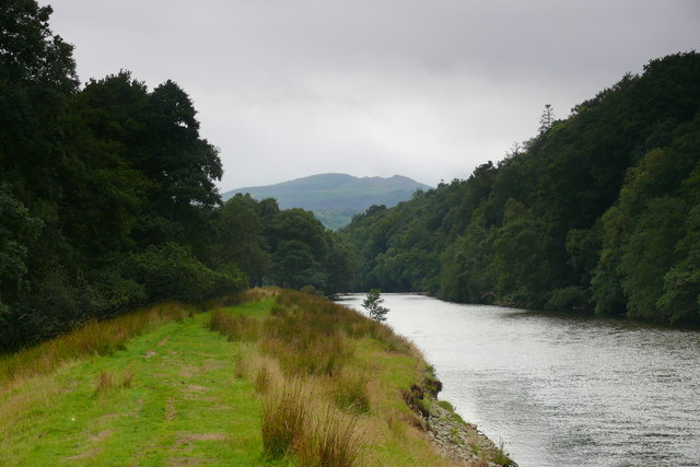
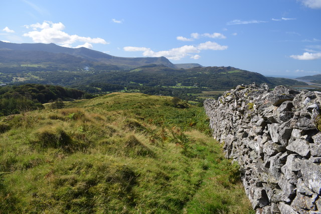
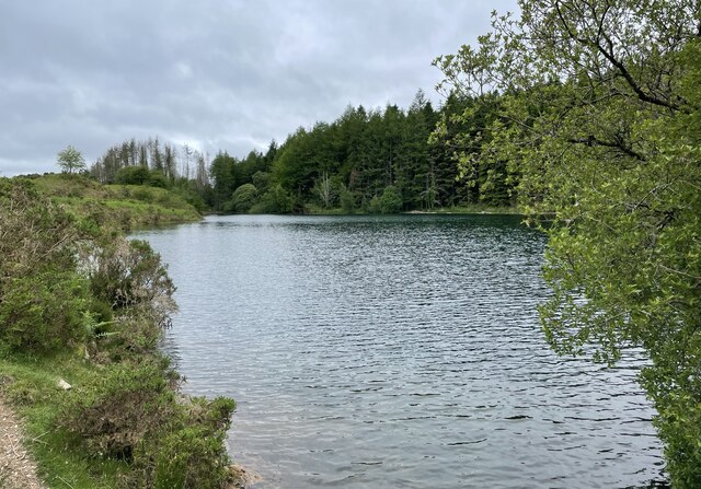
The woodland is situated in the Snowdonia National Park, which is known for its stunning landscapes and diverse wildlife. Coed Crwn, in particular, showcases an array of ancient trees, including oak, beech, and birch, which provide a lush and verdant canopy. The forest floor is carpeted with a variety of wildflowers, creating a vibrant and colorful setting.

Walking through Coed Crwn, visitors can enjoy the tranquil atmosphere and listen to the soothing sounds of nature. The woodland is home to a diverse range of wildlife, including red squirrels, badgers, and a variety of bird species. It provides an important habitat for these creatures, as well as a sanctuary for endangered species.

The forest also offers a network of well-maintained trails, allowing visitors to explore the area and discover its hidden treasures. From easy strolls to more challenging hikes, there are options for all levels of fitness and experience. Along the way, hikers can enjoy breathtaking views of the surrounding mountains and valleys.

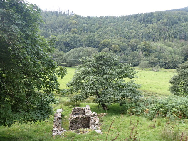
Coed Crwn is not only a place of natural beauty but also holds historical significance. It is believed to have been part of a medieval deer park and has remnants of ancient settlements, adding an extra layer of fascination for history enthusiasts.

Overall, Coed Crwn is a captivating destination, offering a harmonious blend of natural wonders, tranquility, and historical charm. It provides a perfect escape from the hustle and bustle of everyday life, allowing visitors to reconnect with nature and experience the magic of the Welsh countryside.

If you have any feedback on the listing, please let us know in the comments section below.

Coed Crwn Images

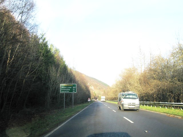
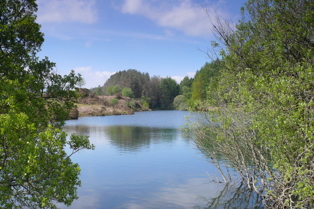
Images are sourced within 2km of 52.749324/-3.8963199 or Grid Reference SH7218. Thanks to Geograph Open Source API. All images are credited.
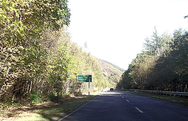
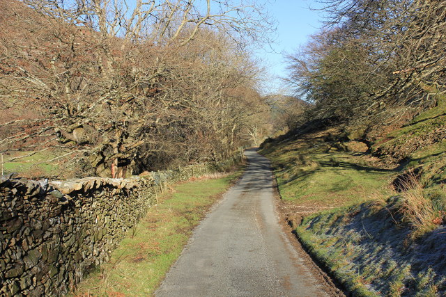
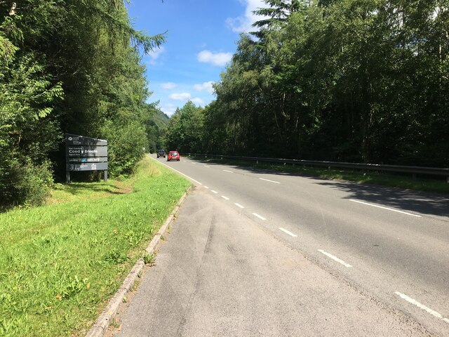
A470 near Coed y Brenin
Llyn Tan-y-Graig A spectacular September morning shows the lake off at its very best.
Llyn Tan-y-Graig
A spectacular September morning shows the lake off at its very best.
Cadair Idris a Llyn Tan-y-Graig The morning mist and cloud is fast burning off the summits of Cadair Idris, as the sun takes hold on a beautifully warm early September morning.
Cadair Idris a Llyn Tan-y-Graig
The morning mist and cloud is fast burning off the summits of Cadair Idris, as the sun takes hold on a beautifully warm early September morning.
Dying larches, Llyn Tan-y-Graig Unfortunately, many of the larch trees in these forests are dying or already dead, thanks to the rapid spread of the Phytophthora ramorum fungus. There will be major felling over the winter, and this view will soon be gone.
Dying larches, Llyn Tan-y-Graig
Unfortunately, many of the larch trees in these forests are dying or already dead, thanks to the rapid spread of the Phytophthora ramorum fungus. There will be major felling over the winter, and this view will soon be gone.
The south-west slopes of Foel Faner Looking to the Afon Mawddach estuary.
The south-west slopes of Foel Faner
Looking to the Afon Mawddach estuary.
Walls beside Coed Dol-fawr The declining south-west ridge of Foel Cynwch has a tapering finger of moorland that eventually gives way to farmland and woods. The walls seen here are adjacent to one of those woods.
Walls beside Coed Dol-fawr
The declining south-west ridge of Foel Cynwch has a tapering finger of moorland that eventually gives way to farmland and woods. The walls seen here are adjacent to one of those woods.
A470 north from Llanelltyd
A470 northbound
A470 northbound
Llyn Tan y Graig Cronfa Ddwr uwchben Llanelltyd / Reservoir above Llanelltyd.
Llyn Tan y Graig
Cronfa Ddwr uwchben Llanelltyd / Reservoir above Llanelltyd.
Afon Mawddach ger Dolfawr / Afon Mawddach near Dolfawr Llwybr caniataol ar lannau'r Afon Mawddach / Permissive path on the banks of the Afon Mawddach.
Afon Mawddach ger Dolfawr / Afon Mawddach near Dolfawr
Llwybr caniataol ar lannau'r Afon Mawddach / Permissive path on the banks of the Afon Mawddach.
Lane at Dolfawr Lane heading north along the valley between the Afon Mawddach and the Precipice Walk.
Lane at Dolfawr
Lane heading north along the valley between the Afon Mawddach and the Precipice Walk.
The valley near Dolfawr Lane just north of Dolfawr heading along the valley between the Afon Mawddach and the Precipice Walk.
The valley near Dolfawr
Lane just north of Dolfawr heading along the valley between the Afon Mawddach and the Precipice Walk.
Ruined Agricultural Building, Dolfawr
Minor road by Dolfawr [farm]
Close to Dolfawr
Close to Dolfawr
View by a wall below The Precipice Walk Looking in the direction of Llanelltyd.
View by a wall below The Precipice Walk
Looking in the direction of Llanelltyd.
A ruined barn at Dolfawr
Llyn Tan-y-graig Reservoir The reservoir above Llanelltyd.
Llyn Tan-y-graig Reservoir
The reservoir above Llanelltyd.
Show me another place!

Coed Crwn is located at Grid Ref: SH7218 (Lat: 52.749324, Lng: -3.8963199)

Unitary Authority: Gwynedd

Police Authority: North Wales

What 3 Words

///ozone.baths.waddle. Near Dolgellau, Gwynedd

Nearby Locations

Coed Pen-y-cefn Coed Crwn

Related Wikis

Hengwrt

Hengwrt (English: Old Court) was a mansion near Dolgellau in Meirionnydd, Gwynedd. It lay in the parish of Llanelltyd near the confluence of the River...

Coleg Meirion-Dwyfor

Coleg Meirion-Dwyfor (meaning in English "Meirion-Dwyfor College"), also known as CMD, is a college in Gwynedd, Wales with its main campus in Dolgellau...

Dr Williams' School

Dr Williams' School was a school founded in Dolgellau in 1875. It opened its doors in 1878 and continued until it was closed in 1975.Samuel Holland was...

Dolgellau transmitting station

The Dolgellau transmitting station is a broadcasting and telecommunications facility located on a hill about 1 km north of the town of Dolgellau, in Gwynedd...

Dolgellau Athletic A.F.C.

Dolgellau Athletic A.F.C. are a Welsh football club based in Dolgellau, Wales. They have a reserve team playing in the Aberystwyth League Division One...

Dolgellau railway station

Dolgellau railway station (Welsh pronunciation: [dɔlˈɡɛɬaɨ]) in Gwynedd, North Wales, was a station on the Ruabon to Barmouth line, originally the terminus...

Cymer Abbey

Cymer Abbey (Welsh: Abaty Cymer) is a ruined Cistercian abbey near the village of Llanelltyd, just north of Dolgellau, Gwynedd, in north-west Wales, United...

County Hall, Dolgellau

County Hall (Welsh: Neuadd y Sir Dolgellau) is a municipal building in Smithfield Street, Dolgellau, Gwynedd, Wales. The structure, which was the headquarters...

Nearby Amenities

Located within 500m of 52.749324,-3.8963199
Bus Stop
Coleg Meirion Dwyfor
Public Transport: platform
Shelter: yes
Lat/Long: 52.7450659/-3.8987095
Parking
Lat/Long: 52.7452516/-3.8981003
Power: pole
Lat/Long: 52.7510293/-3.8943144
Power: pole
Lat/Long: 52.7506721/-3.894529
Power: pole
Lat/Long: 52.7504545/-3.8944378
Power: pole
Lat/Long: 52.7498928/-3.8937243
Power: pole
Lat/Long: 52.7495421/-3.8931986
Power: pole
Lat/Long: 52.7491232/-3.8925817
Barrier: kissing_gate
Source: GPS survey
Lat/Long: 52.7521435/-3.8948988
Power: pole
Lat/Long: 52.7494806/-3.8890141
Power: pole
Lat/Long: 52.7479025/-3.8897115
Power: pole
Lat/Long: 52.7487662/-3.8897088
Bench
Colour: blue
Material: wood
Source: GPS survey
Lat/Long: 52.7493879/-3.8922527
Grit Bin
Source: GPS survey
Lat/Long: 52.7506251/-3.8941276
Power: substation
Lat/Long: 52.745115/-3.894864
Bus Stop
Coleg Meirion Dwyfor
Naptan AtcoCode: 5400GYX17200
Naptan NaptanCode: gwndpmj
Public Transport: platform
Shelter: no
Lat/Long: 52.745236/-3.899093
Direction: SSW
Generator Method: photovoltaic
Generator Output Electricity: yes
Generator Solar Modules: 16
Generator Source: solar
Generator Type: solar_photovoltaic_panel
Location: roof
Power: generator
Lat/Long: 52.7466063/-3.8920435
Direction: 195
Generator Method: photovoltaic
Generator Output Electricity: yes
Generator Solar Modules: 5
Generator Source: solar
Generator Type: solar_photovoltaic_panel
Location: roof
Power: generator
Lat/Long: 52.7484548/-3.8956444
Direction: 255
Generator Method: photovoltaic
Generator Output Electricity: yes
Generator Solar Modules: 12
Generator Source: solar
Generator Type: solar_photovoltaic_panel
Location: roof
Power: generator
Lat/Long: 52.7487056/-3.8921186
Direction: SSE
Generator Method: photovoltaic
Generator Output Electricity: yes
Generator Solar Modules: 16
Generator Source: solar
Generator Type: solar_photovoltaic_panel
Location: roof
Power: generator
Lat/Long: 52.7487186/-3.8926792
Direction: SSE
Generator Method: photovoltaic
Generator Output Electricity: yes
Generator Solar Modules: 16
Generator Source: solar
Generator Type: solar_photovoltaic_panel
Location: roof
Power: generator
Lat/Long: 52.7484264/-3.893398
Direction: S
Generator Method: photovoltaic
Generator Output Electricity: yes
Generator Solar Modules: 16
Generator Source: solar
Generator Type: solar_photovoltaic_panel
Location: roof
Power: generator
Lat/Long: 52.7467768/-3.8930306
The data included in this document is from www.openstreetmap.org. The data is made available under ODbL.

Have you been to Coed Crwn?

Leave your review of Coed Crwn below (or comments, questions and feedback).