Coed y Cefn

Wood, Forest in Merionethshire

Wales

Coed y Cefn

River Dovey near Derwenlas
River Dovey near Derwenlas Credit: Chris Morgan

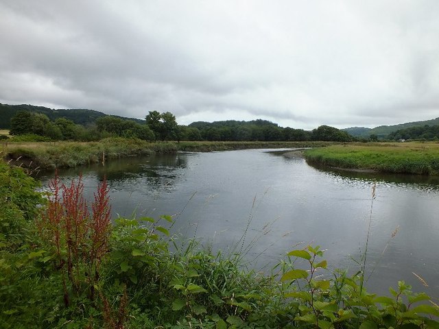
Coed y Cefn, located in Merionethshire, is a picturesque woodland area known for its natural beauty and rich biodiversity. Situated in the heart of Wales, this ancient forest covers an area of approximately 500 hectares.

The woodland is predominantly composed of native tree species, including oak, birch, beech, and pine. These trees create a dense canopy that provides shelter for a wide variety of wildlife, such as red squirrels, foxes, badgers, and numerous bird species.

Coed y Cefn is a popular destination for nature enthusiasts, hikers, and photographers, as it offers breathtaking views and tranquil walking trails. The forest boasts an extensive network of footpaths, allowing visitors to explore its hidden gems, including cascading waterfalls, serene ponds, and vibrant wildflower meadows.

In addition to its natural beauty, Coed y Cefn is also of historical significance. The woodland has remnants of ancient settlements, dating back to the Bronze Age. These archaeological sites have been carefully preserved, offering visitors a glimpse into the area's rich cultural heritage.

The forest is managed by the local authorities, who strive to maintain its ecological balance while providing recreational opportunities for the public. Regular conservation efforts, including tree planting and habitat restoration, are carried out to protect the delicate ecosystem of Coed y Cefn.

Overall, Coed y Cefn in Merionethshire is a cherished natural treasure, offering visitors a chance to immerse themselves in the beauty of the Welsh countryside while enjoying its diverse flora and fauna.

If you have any feedback on the listing, please let us know in the comments section below.

Coed y Cefn Images

Images are sourced within 2km of 52.588123/-3.8902957 or Grid Reference SH7200. Thanks to Geograph Open Source API. All images are credited.

River Dovey near Derwenlas
Old milestone by Hen Gapel, Derwenlas This classic old Welsh slate milestone stands in front of Hen Gapel, Derwenlas alongside the A487. The top is damaged and it appears to have two lots of inscriptions both apparently indicating 2 miles to Machynlleth. The milestone isn't marked on any maps I've seen, but does appear to be equidistant between milestones 'Mach 1', which is now in a cut off section of the A487 (if the MS exists), and 'Mach 3' further west, which may have been lost to an RTC, where there is a hole in the hedge. 
For a wider view of this milestone see <a href="https://www.geograph.org.uk/photo/7519195">SN7299 : Derwenlas by the A487, and a milestone</a>

Inscription reads:-
         2 M
MA(CH)
2 M.

Surveyed

Milestone Society National ID: MOT_AYMC15
Old milestone by Hen Gapel, Derwenlas
This classic old Welsh slate milestone stands in front of Hen Gapel, Derwenlas alongside the A487. The top is damaged and it appears to have two lots of inscriptions both apparently indicating 2 miles to Machynlleth. The milestone isn't marked on any maps I've seen, but does appear to be equidistant between milestones 'Mach 1', which is now in a cut off section of the A487 (if the MS exists), and 'Mach 3' further west, which may have been lost to an RTC, where there is a hole in the hedge. For a wider view of this milestone see SN7299 : Derwenlas by the A487, and a milestone Inscription reads:- 2 M MA(CH) 2 M. Surveyed Milestone Society National ID: MOT_AYMC15
Derwenlas by the A487, and a milestone Looking west along the A487 in Derwenlas. On the right there is a slate milestone in front of Hen Gapel <a href="https://www.geograph.org.uk/photo/7519171">SN7299 : Old milestone by Hen Gapel, Derwenlas</a>
Derwenlas by the A487, and a milestone
Looking west along the A487 in Derwenlas. On the right there is a slate milestone in front of Hen Gapel SN7299 : Old milestone by Hen Gapel, Derwenlas
A487 at Bryn Siriol
A487 at Bryn Siriol
A487 near Derwenlas
A487 near Derwenlas
From a Macchynlleth-Aberystwyth train, bend in the River Dovey
From a Machynlleth-Aberystwyth train, alongside the river Dovey
Afon Dyfi near Pennal
Entrance to Llugwy Hall A private road but is a right of way.
Entrance to Llugwy Hall
A private road but is a right of way.
Llugwy Hall Dating from the late 17th century, Llugwy Hall is Grade II listed. It became a hotel circa 1980 and then a convention/training centre. Although still marked as an hotel on current maps, it is now again a private residence. Coflein: <span class="nowrap"><a title="http://www.coflein.gov.uk/en/site/96579/details/llugwy-hallllugwy-hotel" rel="nofollow ugc noopener" href="http://www.coflein.gov.uk/en/site/96579/details/llugwy-hallllugwy-hotel">Link</a><img style="margin-left:2px;" alt="External link" title="External link - shift click to open in new window" src="https://s1.geograph.org.uk/img/external.png" width="10" height="10"/></span>
Llugwy Hall
Dating from the late 17th century, Llugwy Hall is Grade II listed. It became a hotel circa 1980 and then a convention/training centre. Although still marked as an hotel on current maps, it is now again a private residence. Coflein: LinkExternal link
Path skirting Llugwy Hall A right of way runs along here.
Path skirting Llugwy Hall
A right of way runs along here.
Footbridge by Afon Dyfi The bridge crosses a small stream which flows into the river. It is on a right of way footpath which runs along the north side of the river from Llugwy Hall to Dolgelynen Farm and beyond. The bridge is in poor condition with rotten footboards and loose handrails. An accident waiting to happen?
Footbridge by Afon Dyfi
The bridge crosses a small stream which flows into the river. It is on a right of way footpath which runs along the north side of the river from Llugwy Hall to Dolgelynen Farm and beyond. The bridge is in poor condition with rotten footboards and loose handrails. An accident waiting to happen?
Canoeing on Afon Dyfi A group of people enjoying themselves on the river.
Canoeing on Afon Dyfi
A group of people enjoying themselves on the river.
Pumwern A farmstead standing above Afon Dyfi.
Pumwern
A farmstead standing above Afon Dyfi.
Beside Afon Dyfi On a public footpath which runs along the north bank of the river.
Beside Afon Dyfi
On a public footpath which runs along the north bank of the river.
Gate and stile beside Afon Dyfi The stile was somewhat 'rickety'. Fortunately the gate wasn't locked.
Gate and stile beside Afon Dyfi
The stile was somewhat 'rickety'. Fortunately the gate wasn't locked.
Afon Dyfi Looking upstream.
Afon Dyfi
Looking upstream.
Temporary fence beside Afon Dyfi
Show me another place!

Coed y Cefn is located at Grid Ref: SH7200 (Lat: 52.588123, Lng: -3.8902957)

Unitary Authority: Gwynedd

Police Authority: North Wales

What 3 Words

///overt.recoup.orbit. Near Machynlleth, Powys

Related Wikis

Machynlleth transmitting station

The Machynlleth transmitting station is a broadcasting and telecommunications facility located on a hill about 2.5 kilometres (1.6 mi) west of the town...

Llugwy Hall

Llugwy is the name of an old property near Pennal, a village on the A493 road in southern Gwynedd, Wales, on the north bank of the Afon Dyfi/River Dovey...

Morben

Morben is a hamlet in northern Powys, Wales. Part of the historic county of Montgomeryshire (Sir Drefaldwyn) from 1536 to 1974, it lies on the Afon Dyfi...

Derwenlas

Derwenlas is a hamlet in northern Powys, Wales. It is part of the community of Cadfarch. Part of the historic county of Montgomeryshire (Sir Drefaldwyn...

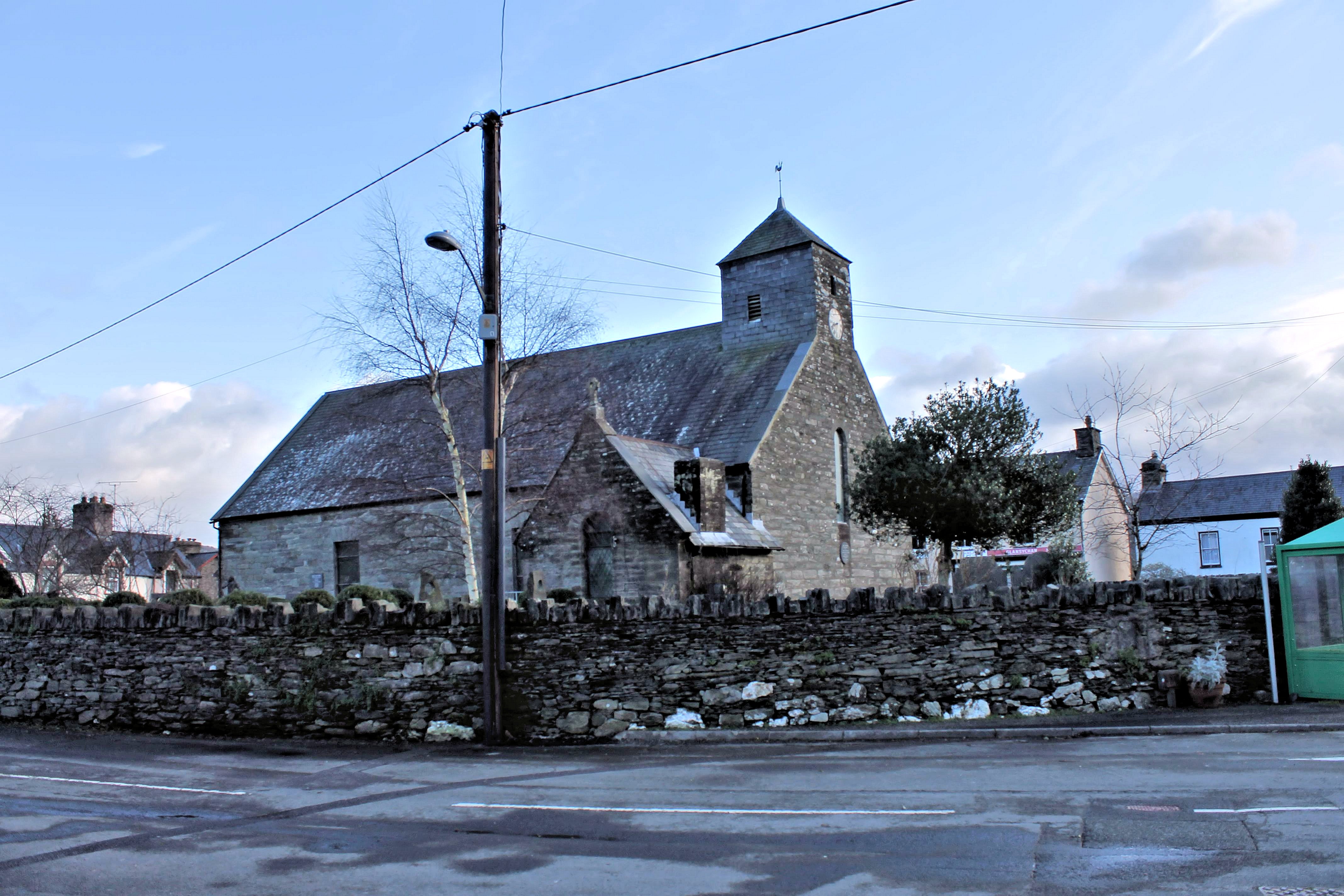
St Peter ad Vincula, Pennal

The parish church of St Peter ad Vincula (meaning Saint Peter in Chains) in the village of Pennal in Gwynedd, north-west Wales, is notable as the site...

Pennal

Pennal is a village and community on the A493 road in southern Gwynedd, Wales, on the north bank of the River Dyfi, near Machynlleth. It lies in the historic...

Ysgol Bro Hyddgen

Ysgol Bro Hyddgen is a bilingual, all-age (4-19) school situated in Machynlleth, Powys. The school is a combination of two previous schools, namely Machynlleth...

Machynlleth railway station

Machynlleth railway station is on the Cambrian Line in mid-Wales, serving the town of Machynlleth. It was built by the Newtown and Machynlleth Railway...

Nearby Amenities

Located within 500m of 52.588123,-3.8902957
Place: farm
Lat/Long: 52.5911658/-3.8853186
Power: pole
Lat/Long: 52.5886366/-3.8840064
Power: pole
Lat/Long: 52.5884541/-3.8851624
Power: pole
Lat/Long: 52.5884003/-3.8863158
Power: pole
Lat/Long: 52.5884737/-3.8885862
Power: pole
Lat/Long: 52.5876459/-3.8913703
Power: pole
Lat/Long: 52.5879555/-3.8947284
Power: pole
Lat/Long: 52.5876671/-3.8962492
Power: pole
Lat/Long: 52.5873771/-3.8975877
Man Made: mast
Tower Construction: lattice
Tower Type: communication
Lat/Long: 52.5864213/-3.8855419
The data included in this document is from www.openstreetmap.org. The data is made available under ODbL.

Have you been to Coed y Cefn?

Leave your review of Coed y Cefn below (or comments, questions and feedback).