Pont-ar-llechau

Settlement in Carmarthenshire

Wales

Pont-ar-llechau

Entrance to Pen Arthur Forest
Entrance to Pen Arthur Forest Credit: Alan Hughes

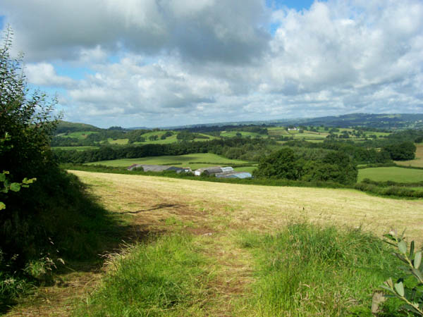
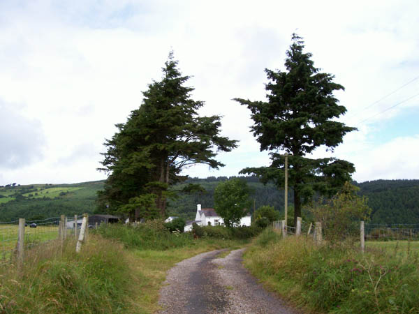
Pont-ar-llechau is a small village located in the county of Carmarthenshire, Wales. Situated in the western part of the county, it lies within the picturesque landscape of the Teifi Valley. The village is nestled on the banks of the River Teifi, surrounded by lush green hills and woodlands, making it an ideal destination for nature lovers and outdoor enthusiasts.

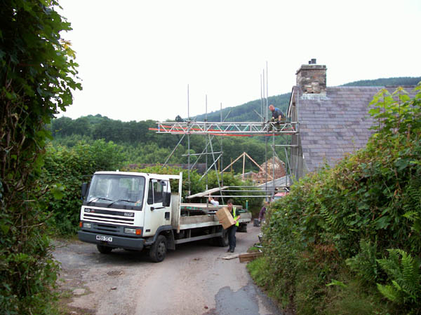
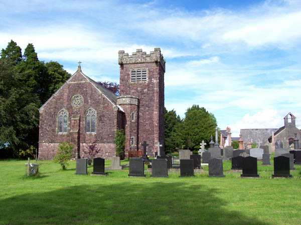
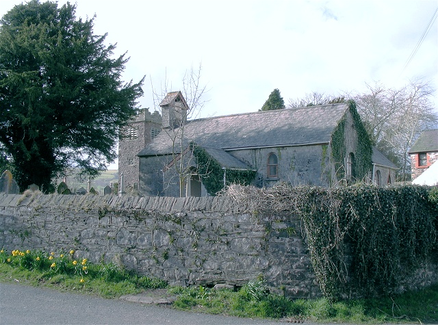
Pont-ar-llechau is known for its scenic beauty, with breathtaking views of the river and the surrounding countryside. The village is characterized by its charming stone houses and traditional Welsh architecture, giving it a quaint and timeless atmosphere. The local community takes pride in preserving the village's heritage and maintaining its rural character.

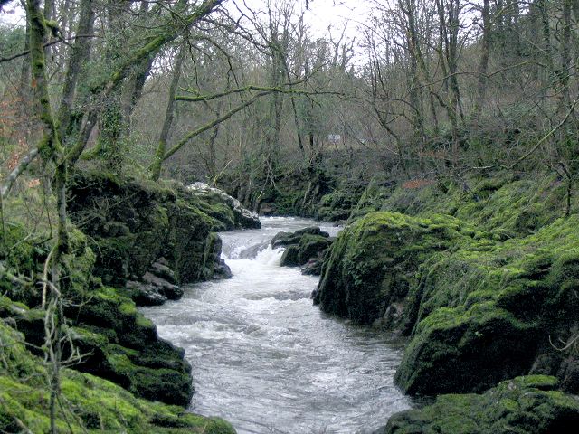
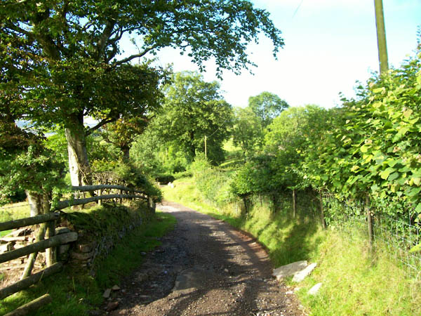
The village offers a peaceful and tranquil environment, away from the hustle and bustle of urban life. It is a popular spot for fishing, with the River Teifi being renowned for its salmon and trout. The surrounding woodlands and hills provide ample opportunities for walking, hiking, and exploring the natural beauty of the area.

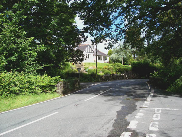
Although small, Pont-ar-llechau benefits from its proximity to nearby towns and amenities. The village is within easy reach of the market town of Newcastle Emlyn, which offers a range of shops, cafes, and services. Additionally, the village is well-connected to the wider region by road, making it easily accessible for visitors.

In summary, Pont-ar-llechau is a picturesque and tranquil village in Carmarthenshire, offering stunning natural beauty, a close-knit community, and a peaceful lifestyle. It is an ideal destination for those seeking a peaceful retreat in the heart of the Welsh countryside.

If you have any feedback on the listing, please let us know in the comments section below.

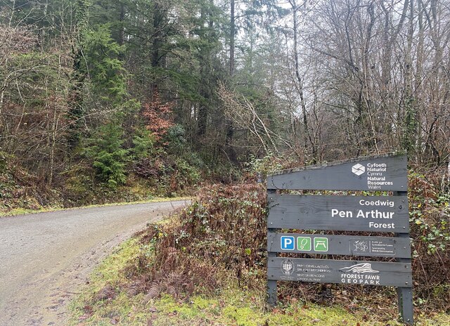
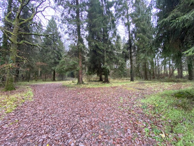
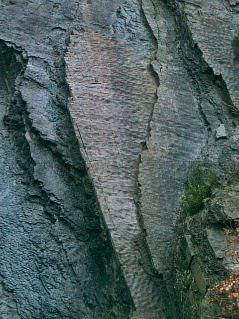
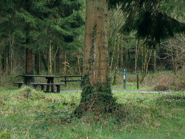
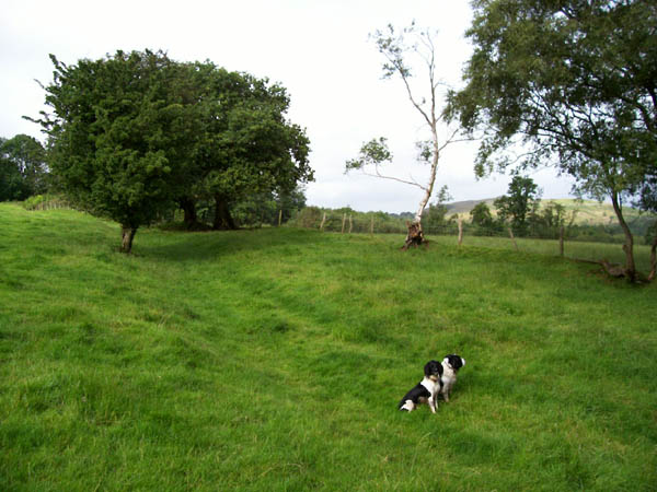
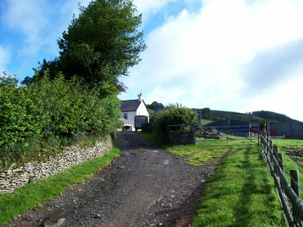
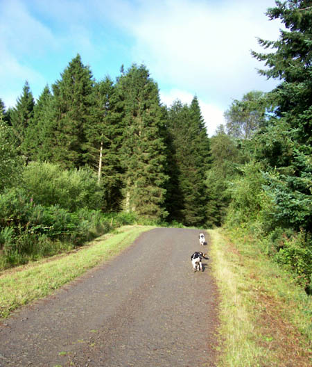
Pont-ar-llechau Images

Images are sourced within 2km of 51.899798/-3.8617945 or Grid Reference SN7224. Thanks to Geograph Open Source API. All images are credited.

Entrance to Pen Arthur Forest
Woodland near Coed Shôn
Waterfall on Afon Sawdde This is the river Sawdde flowing north towards Llangadog.
At this point there are roads either side of it: a minor one on the left bank; and the A4069 to Brynaman on the right.
The whole length of the riverbank here is composed of upended strata of rock. You can drive past thousands of years of geology without even realising it.
Waterfall on Afon Sawdde
This is the river Sawdde flowing north towards Llangadog. At this point there are roads either side of it: a minor one on the left bank; and the A4069 to Brynaman on the right. The whole length of the riverbank here is composed of upended strata of rock. You can drive past thousands of years of geology without even realising it.
Sediment ripples in roadside quarry At the side of the minor road by the river Sawdde there is a small quarry (or large alcove). As with the riverbank, it is composed of upended strata. Here though the thick clumsy layers are replaced with thinner, more delicate strata.
On the vertical face you can see ripples in the sediment that once lay flat, presumably caused by wind or water.
Sediment ripples in roadside quarry
At the side of the minor road by the river Sawdde there is a small quarry (or large alcove). As with the riverbank, it is composed of upended strata. Here though the thick clumsy layers are replaced with thinner, more delicate strata. On the vertical face you can see ripples in the sediment that once lay flat, presumably caused by wind or water.
Entrance to Coed Pen Arthur The Forestry Commission sign for this entrance gives the name Coed Pen Arthur, but their web site also list this point as Coed Shon.
There is a picnic table and a circular drive with no well defined car parking spaces.
Deeper in the Pen Arthur forest there is apparently a woodland sauna !
See this link: <span class="nowrap"><a title="http://www.forestry.gov.uk/website/recreation.nsf/LUWebDocsByKey/WalesCarmarthenshireTowyValleyForestsPenArthur" rel="nofollow ugc noopener" href="http://www.forestry.gov.uk/website/recreation.nsf/LUWebDocsByKey/WalesCarmarthenshireTowyValleyForestsPenArthur">Link</a><img style="margin-left:2px;" alt="External link" title="External link - shift click to open in new window" src="https://s1.geograph.org.uk/img/external.png" width="10" height="10"/></span>
Entrance to Coed Pen Arthur
The Forestry Commission sign for this entrance gives the name Coed Pen Arthur, but their web site also list this point as Coed Shon. There is a picnic table and a circular drive with no well defined car parking spaces. Deeper in the Pen Arthur forest there is apparently a woodland sauna ! See this link: LinkExternal link
Green lane Green lane marked as "Other Public Access" near to Careg-foel-gam.
Green lane
Green lane marked as "Other Public Access" near to Careg-foel-gam.
Cwmcoy Remote hill-farm overlooking the valley of the Afon Meilwch and the distant Black Mountain.
Cwmcoy
Remote hill-farm overlooking the valley of the Afon Meilwch and the distant Black Mountain.
Road to Cwmcoy Sheep pasture through which the farm road passes. A beautiful footpath for a walk.
Road to Cwmcoy
Sheep pasture through which the farm road passes. A beautiful footpath for a walk.
Coed Pen-Arthur Forest track near to the northern margin of this large Forestry Commission woodland.
Coed Pen-Arthur
Forest track near to the northern margin of this large Forestry Commission woodland.
Ruin Ruined cottage in pasture near to the edge of Coed Pen-Arthur.
Ruin
Ruined cottage in pasture near to the edge of Coed Pen-Arthur.
Track to Llwyn-y-neuadd This track is indicated as being on the edge of the forest, but since the trees have been clear-felled it is wide open and affords superb views of the Afon Meilwch valley.
Track to Llwyn-y-neuadd
This track is indicated as being on the edge of the forest, but since the trees have been clear-felled it is wide open and affords superb views of the Afon Meilwch valley.
Caeaubychain Mawr A farm with extensive outbuildings (and kennels from the sound) on the southern flank of the broad Towy valley. The field has yielded a silage crop in the days before the picture was taken, hence the bleached grass.
Caeaubychain Mawr
A farm with extensive outbuildings (and kennels from the sound) on the southern flank of the broad Towy valley. The field has yielded a silage crop in the days before the picture was taken, hence the bleached grass.
Track to Beili Home Farm Track to the farm and footpath leading to Coed Pen Arthur in the right distance.
Track to Beili Home Farm
Track to the farm and footpath leading to Coed Pen Arthur in the right distance.
Traffic jam, Pant y grafog When you erect scaffolding across the road, the courier has to walk to his destination, as there is no viable alternative route. The Royal Mail was also stuck, the red van is just visible on the other side of the blockage.
Traffic jam, Pant y grafog
When you erect scaffolding across the road, the courier has to walk to his destination, as there is no viable alternative route. The Royal Mail was also stuck, the red van is just visible on the other side of the blockage.
Pont Newydd Junction of the A4069 with two unclassified roads making a staggered crossroads over the Afon Sawdde which is in a deep gorge under the bridge.
Pont Newydd
Junction of the A4069 with two unclassified roads making a staggered crossroads over the Afon Sawdde which is in a deep gorge under the bridge.
All Saints church An imposing building in the local Old Red Sandstone which replaces the old church which is visible to the right adjacent to the shared burial ground.
All Saints church
An imposing building in the local Old Red Sandstone which replaces the old church which is visible to the right adjacent to the shared burial ground.
Railway wagon shed Testament to the huge amount of redundant rolling stock after the Beeching-era closures of rural railways, this is still a remarkable find at an altitude of 270 metres at the end of a very steep and narrow road. The roof has been renewed neatly in corrugated iron.
Railway wagon shed
Testament to the huge amount of redundant rolling stock after the Beeching-era closures of rural railways, this is still a remarkable find at an altitude of 270 metres at the end of a very steep and narrow road. The roof has been renewed neatly in corrugated iron.
Road to Cwmcoy Near to the end of the steep track to this isolated farm.
Road to Cwmcoy
Near to the end of the steep track to this isolated farm.
Show me another place!

Pont-ar-llechau is located at Grid Ref: SN7224 (Lat: 51.899798, Lng: -3.8617945)

Unitary Authority: Carmarthenshire

Police Authority: Dyfed Powys

Also known as: Pontarllechau

What 3 Words

///perfume.lengthen.offerings. Near Llanddeusant, Carmarthenshire

Related Wikis

A4069 road

The A4069 is an A road which connects Llandovery with Gwaun-Cae-Gurwen in Wales, UK. == Route == The route begins at the junction with the A474 at the...

Gwynfe

Gwynfe () or Capel Gwynfe is a small village inside the portion of Brecon Beacons National Park that is in Carmarthenshire, a county of southwestern Wales...

Bont Fawr

Bont Fawr is a tiny hamlet in Carmarthenshire, Wales.

Trichrug

Trichrug (also referred to as Pen-y-bicws) is a hill four miles east of Llandeilo and 3 miles south of Llangadog in the county of Carmarthenshire, southwest...

Have you been to Pont-ar-llechau?

Leave your review of Pont-ar-llechau below (or comments, questions and feedback).