Lodge Farm Wood

Wood, Forest in Cardiganshire

Wales

Lodge Farm Wood

Fields west of Cnwch Coch Enclosed grazing to the west of the village of Cnwch Coch.  The nameless stream running in the wooded ditch on the left soon joins the Nant Magwr, a tributary of the Afon Ystwyth.
Fields west of Cnwch Coch Credit: Rudi Winter

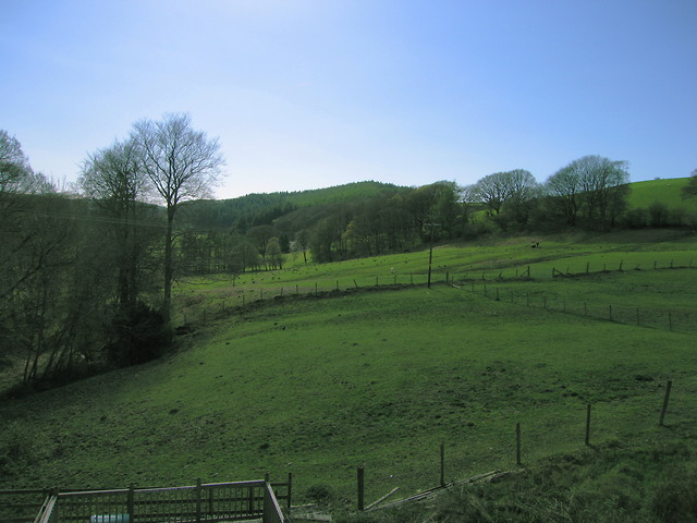
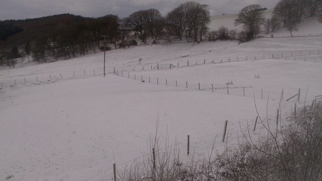
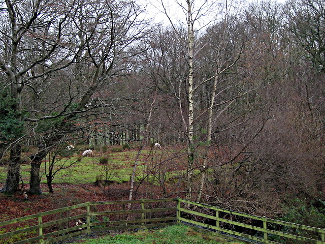
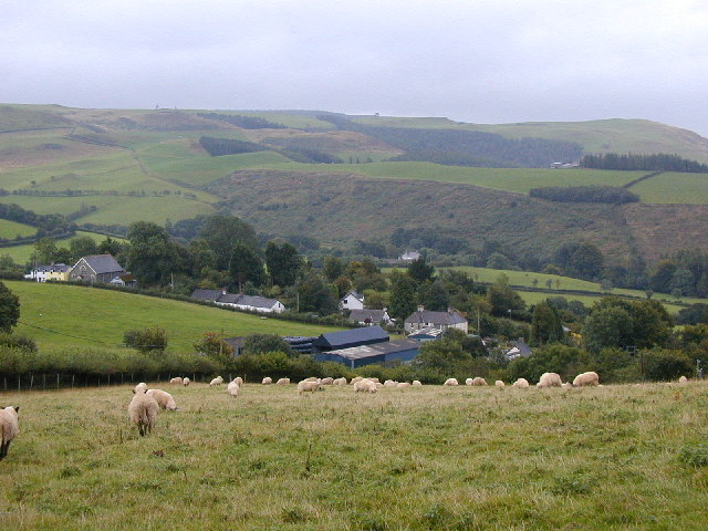
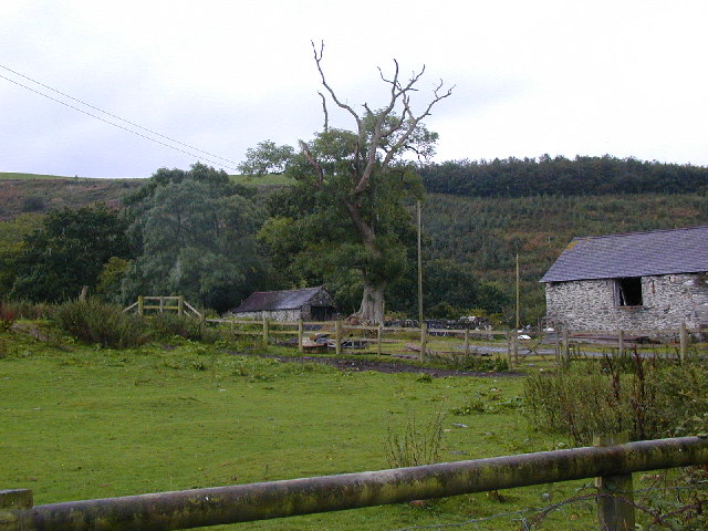
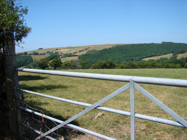
Lodge Farm Wood, located in Cardiganshire, is a picturesque and diverse woodland covering an area of approximately 100 acres. It is situated in a rural setting, surrounded by rolling hills and meandering streams, creating a tranquil and serene environment.

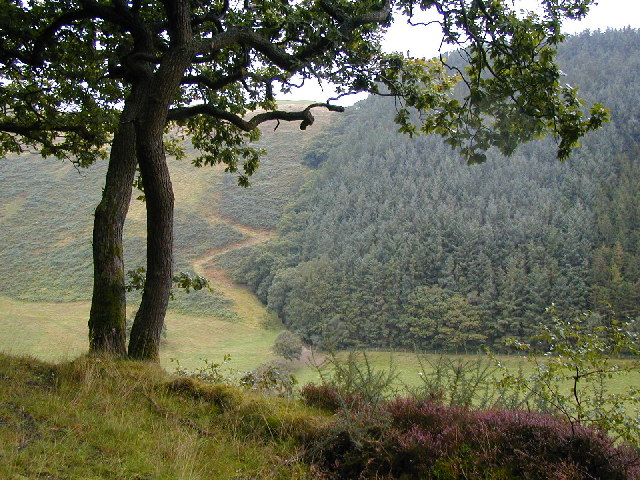
The wood is predominantly made up of native broadleaf trees such as oak, beech, and ash, interspersed with patches of coniferous plantations. These trees provide a rich habitat for a wide variety of wildlife, including birds, mammals, and insects. The woodland floor is adorned with a carpet of bluebells during the spring, creating a stunning display of vibrant colors.

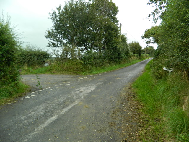
The wood features well-maintained footpaths and trails, allowing visitors to explore and discover the natural beauty of the area. There are also picnic areas where visitors can relax and enjoy the peaceful surroundings, making it an ideal spot for a family day out or a tranquil retreat.

Lodge Farm Wood is managed by the local council, ensuring that it is protected and preserved for future generations to enjoy. It serves as an important educational resource, offering opportunities for schoolchildren and nature enthusiasts to learn about the local flora and fauna.

Additionally, the wood is part of a wider network of woodlands in the region, contributing to the overall biodiversity and ecological balance of the area. It also plays a crucial role in carbon sequestration, helping to mitigate the effects of climate change.

Overall, Lodge Farm Wood is a valuable natural asset, providing a haven for wildlife, a recreational space for visitors, and a place of natural beauty and tranquility.

If you have any feedback on the listing, please let us know in the comments section below.

Lodge Farm Wood Images

Images are sourced within 2km of 52.350121/-3.9431853 or Grid Reference SN6774. Thanks to Geograph Open Source API. All images are credited.

Fields west of Cnwch Coch Enclosed grazing to the west of the village of Cnwch Coch.  The nameless stream running in the wooded ditch on the left soon joins the Nant Magwr, a tributary of the Afon Ystwyth.
Fields west of Cnwch Coch
Enclosed grazing to the west of the village of Cnwch Coch. The nameless stream running in the wooded ditch on the left soon joins the Nant Magwr, a tributary of the Afon Ystwyth.
The start of the lane to Tynfrondel, Llanfihangel-y-Creuddyn The sign pointing to Tynfrondel can just be seen in the hedge.
The start of the lane to Tynfrondel, Llanfihangel-y-Creuddyn
The sign pointing to Tynfrondel can just be seen in the hedge.
Snowy fields, Cnwch Coch Heavy snow had been forecast for the night, but most of it ended up in southeast Wales.  North Ceredigion got all the fun but little of the worry.
Snowy fields, Cnwch Coch
Heavy snow had been forecast for the night, but most of it ended up in southeast Wales. North Ceredigion got all the fun but little of the worry.
The cemetery, Cnwch Coch
Sheep pasture at Cnwch Coch A flock of sheep occupy a long narrow field speckled with trees on the south bank of the local stream, which is a tributary of the Nant Magwr.
Sheep pasture at Cnwch Coch
A flock of sheep occupy a long narrow field speckled with trees on the south bank of the local stream, which is a tributary of the Nant Magwr.
Ystwyth Trail near Crosswood The Ystwyth Trail is a 32.1km/20M footpath and cycle route linking Tregaron and Aberystwyth. Part of the trail follows the track of the old Great Western Railway line. Here is where it crosses the B7545
Ystwyth Trail near Crosswood
The Ystwyth Trail is a 32.1km/20M footpath and cycle route linking Tregaron and Aberystwyth. Part of the trail follows the track of the old Great Western Railway line. Here is where it crosses the B7545
The River Ystwyth at Trawscoed From the bridge connecting the B4575 and the B4340
The River Ystwyth at Trawscoed
From the bridge connecting the B4575 and the B4340
A small stream running into the river Ystwyth at Trawscoed
Black Covert parking area Forestry Commission carpark near the river Ystwyth at Trawscoed
Black Covert parking area
Forestry Commission carpark near the river Ystwyth at Trawscoed
Fferm Trawscoed/Trawscoed Farm This is an research farm run by the Institute of Biological, Environmental and Rural Sciences of Aberystwyth University
Fferm Trawscoed/Trawscoed Farm
This is an research farm run by the Institute of Biological, Environmental and Rural Sciences of Aberystwyth University
Wayside chapel A small 19th century chapel beside the road leading to Cnwch Coch
Wayside chapel
A small 19th century chapel beside the road leading to Cnwch Coch
Llanafan church This tiny village has little more than a church and a church hall. The gravestones paint a picture of country life. The River Ystwyth runs nearby. All around are hills clad in forest.
Llanafan church
This tiny village has little more than a church and a church hall. The gravestones paint a picture of country life. The River Ystwyth runs nearby. All around are hills clad in forest.
Corrugated iron barn Nicely decayed corrugated iron barn.
Corrugated iron barn
Nicely decayed corrugated iron barn.
Hamlet of Cnwch Coch Taken from the hill to the north-west, notice the chapel for such a small settlement.
Hamlet of Cnwch Coch
Taken from the hill to the north-west, notice the chapel for such a small settlement.
Old tree, old stone barns and young conifers. Cwmnewidion Isaf is the name of the farm.
Old tree, old stone barns and young conifers.
Cwmnewidion Isaf is the name of the farm.
View across the valley of the Nant Cwmnewydion. Taken from a forestry road through oak trees plant at the boundary, looking across at coniferous plantation.
View across the valley of the Nant Cwmnewydion.
Taken from a forestry road through oak trees plant at the boundary, looking across at coniferous plantation.
Gate & field near Llanfihangel-y-Creuddyn
Show me another place!

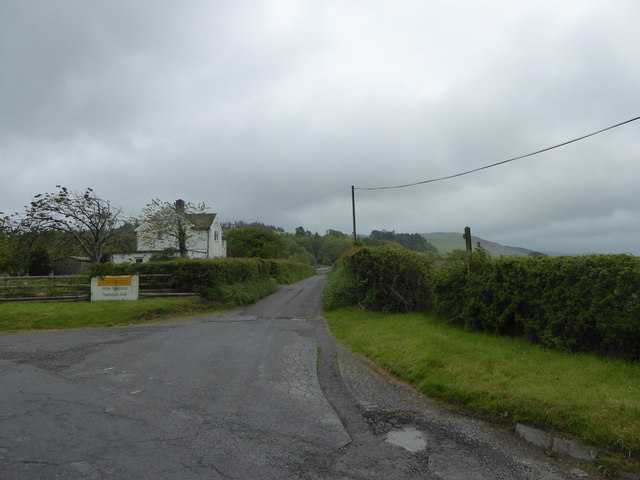
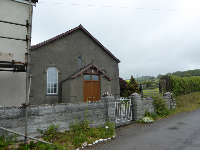
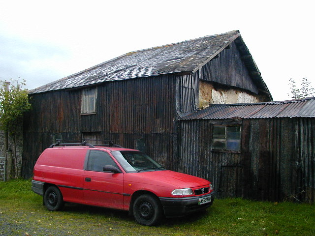
Lodge Farm Wood is located at Grid Ref: SN6774 (Lat: 52.350121, Lng: -3.9431853)

Unitary Authority: Ceredigion

Police Authority: Dyfed Powys

What 3 Words

///ambushed.purses.regard. Near Llanilar, Ceredigion

Related Wikis

Abermagwr

Abermagwr is a small settlement in the county of Ceredigion, Wales. It is on the B4340 road and is 11 kilometres (7 mi) southeast of the town of Aberystwyth...

Trawsgoed

Trawsgoed (Welsh for "Crosswood") is both a community and an estate in Ceredigion, Wales. The estate is 8 miles (13 km) southeast of Aberystwyth, and has...

Banc-y-môr

Banc-y-môr is a small village in the community of Trawsgoed, Ceredigion, Wales, which is 69.4 miles (111.6 km) from Cardiff and 173.5 miles (279.1 km...

Llanafan, Ceredigion

Llanafan is a small village between Tregaron and Aberystwyth, Ceredigion, in Wales. Llanafan is around ten miles from Aberystwyth and Tregaron. It is named...

Nearby Amenities

Located within 500m of 52.350121,-3.9431853
Place: farm
Lat/Long: 52.3525598/-3.9445426
Place: farm
Lat/Long: 52.3484311/-3.9371397
The data included in this document is from www.openstreetmap.org. The data is made available under ODbL.

Have you been to Lodge Farm Wood?

Leave your review of Lodge Farm Wood below (or comments, questions and feedback).