Allt Aber-Mangoed
Wood, Forest in Carmarthenshire
Wales
Allt Aber-Mangoed
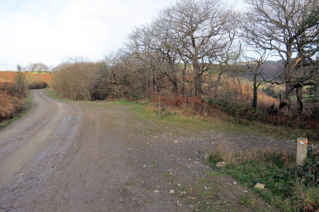
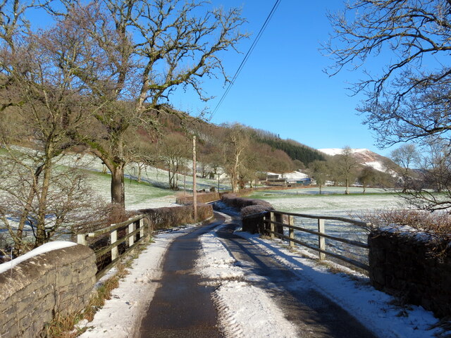
Allt Aber-Mangoed is a magnificent wood located in the county of Carmarthenshire, Wales. Spanning over a vast area, this forest is a haven for nature lovers and outdoor enthusiasts alike.
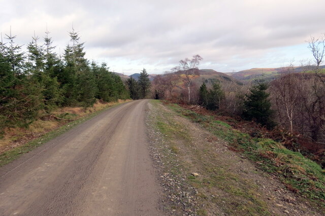
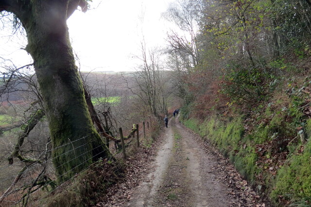
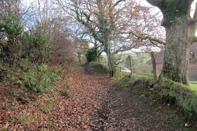
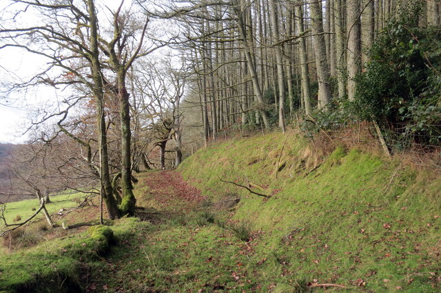
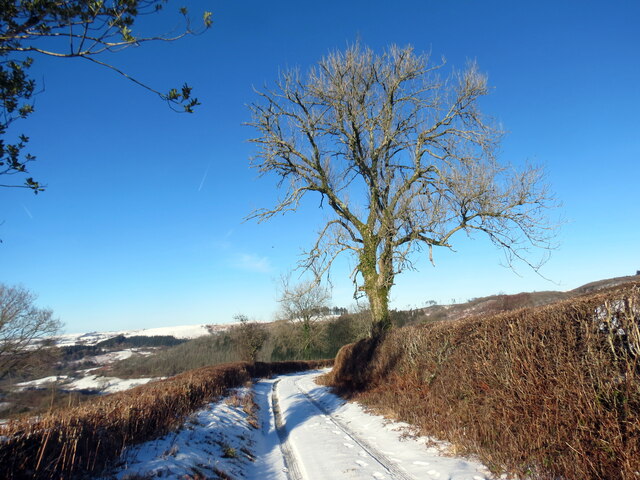
The wood is characterized by its lush greenery, towering trees, and diverse flora and fauna. With its dense vegetation and well-preserved ecosystem, Allt Aber-Mangoed offers a serene and peaceful environment for visitors to explore. The forest is primarily made up of oak and beech trees, which create a majestic canopy overhead, providing shade and shelter to numerous creatures that call this place home.
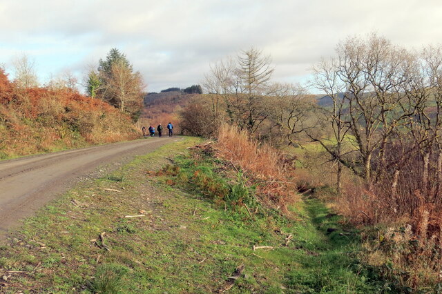
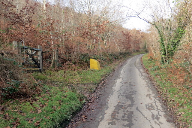
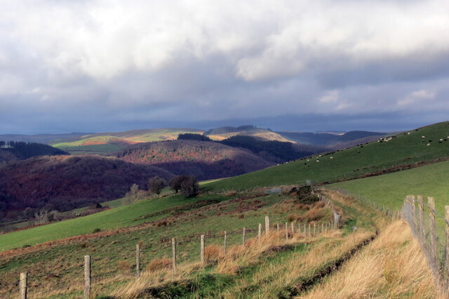
Walking through the wood, visitors can enjoy a network of well-maintained trails that meander through the forest. These paths offer breathtaking views of the surrounding countryside and allow visitors to immerse themselves in the natural beauty of the area. Many of the trails lead to scenic viewpoints, where one can admire the picturesque landscapes of Carmarthenshire.
Allt Aber-Mangoed is also home to a variety of wildlife, including deer, foxes, badgers, and a wide array of bird species. Birdwatchers will delight in the opportunity to spot rare and migratory birds that frequent the area.
For those seeking a bit of adventure, the wood offers opportunities for camping and picnicking. There are designated camping areas where visitors can pitch their tents and spend a night under the starry sky, surrounded by the tranquil sounds of nature.
Overall, Allt Aber-Mangoed is a true gem in Carmarthenshire, offering a chance to escape the hustle and bustle of everyday life and reconnect with the beauty of the natural world.
If you have any feedback on the listing, please let us know in the comments section below.
Allt Aber-Mangoed Images
Images are sourced within 2km of 52.071438/-3.9313938 or Grid Reference SN6743. Thanks to Geograph Open Source API. All images are credited.
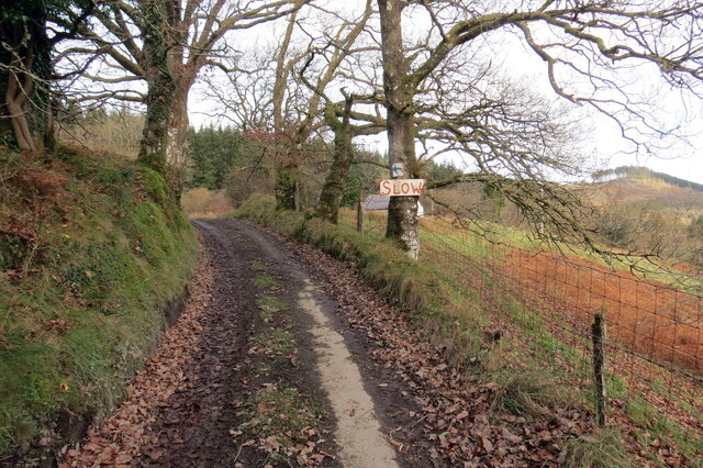
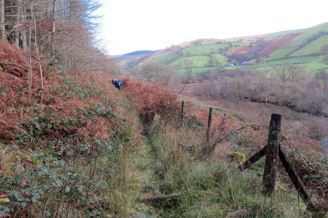
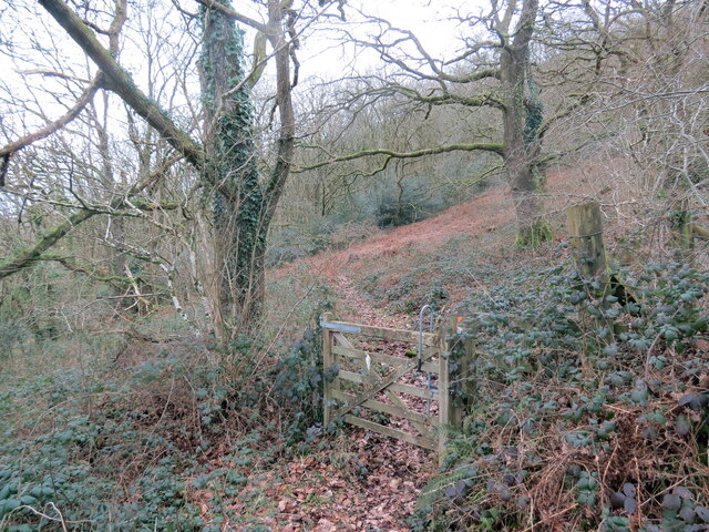
![Llwybr uwchben Caio / Path above Caio Llwybr cyhoeddus uwchben Caio ac yn sy'n mynd i gyfeiriad Cwm Cothi.
A public footpath above the village of Caio and heading towards Cwm Cothi (trans. [river] Cothi valley).](https://s1.geograph.org.uk/geophotos/07/38/65/7386501_ee6ae911.jpg)
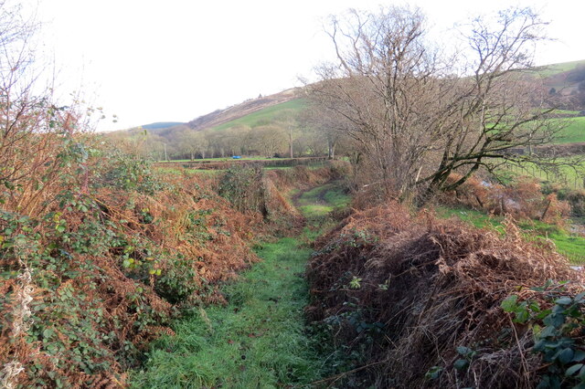
![Tuag at Gwm Cothi / Towards Cwm Cothi Llwybr troed cyhoeddus yn mynd i lawr y waered tuag ay Gwm Cothi.
A public footpath descending towards Cwm Cothi (trans. [river] Cothi valley).](https://s3.geograph.org.uk/geophotos/07/38/65/7386503_933f9711.jpg)


Allt Aber-Mangoed is located at Grid Ref: SN6743 (Lat: 52.071438, Lng: -3.9313938)
Unitary Authority: Carmarthenshire
Police Authority: Dyfed Powys
What 3 Words
///stiffly.advice.stubbed. Near Llansawel, Carmarthenshire
Nearby Locations
Related Wikis

Cynwyl Gaeo
Cynwyl Gaeo is a parish and community located in rural Carmarthenshire, Wales, near the boundary with Ceredigion, in the upper Cothi valley about halfway...

Dolaucothi Estate
The Dolaucothi Estate (also Dolaucothy) is situated about 1 mile (1.6 km) north-west of the village of Caio up the Cothi Valley in the community of Cynwyl...

Ffarmers
Ffarmers is a village near Lampeter, in the north of Carmarthenshire, Wales. It was named after the old "Farmers' Arms" public house, which is now closed...

Dolaucothi Gold Mines
The Dolaucothi Gold Mines (pronounced [ˌdɔlaiˈkɔθɪ]; Welsh: Mwynfeydd Aur Dolaucothi) (grid reference SN662403), also known as the Ogofau Gold Mine, are...

Caio, Carmarthenshire
Caio (or Caeo) is a village in the county of Carmarthenshire, south-west Wales, sited near to the Dolaucothi Gold Mines. == Location == It is located between...

Pumsaint
Pumsaint is a village in Carmarthenshire, Wales, halfway between Llanwrda and Lampeter on the A482 in the valley of the Afon Cothi. It forms part of the...

Afon Twrch, Carmarthenshire
The Afon Twrch is a short river in Carmarthenshire, West Wales. It joins the River Cothi (itself a left-bank tributary of the River Towy) at the village...

Luentinum
Luentinum or Loventium refers to the Roman fort at Pumsaint, Carmarthenshire. The 1.9 hectares (4.7 acres) site lies either side of the A482 in Pumsaint...
Have you been to Allt Aber-Mangoed?
Leave your review of Allt Aber-Mangoed below (or comments, questions and feedback).