Coed y Gribin
Wood, Forest in Merionethshire
Wales
Coed y Gribin
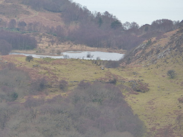
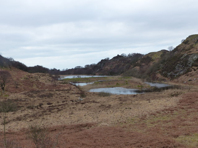
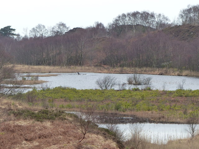
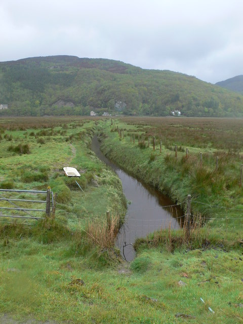
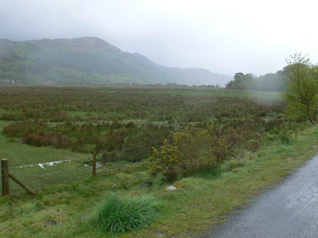
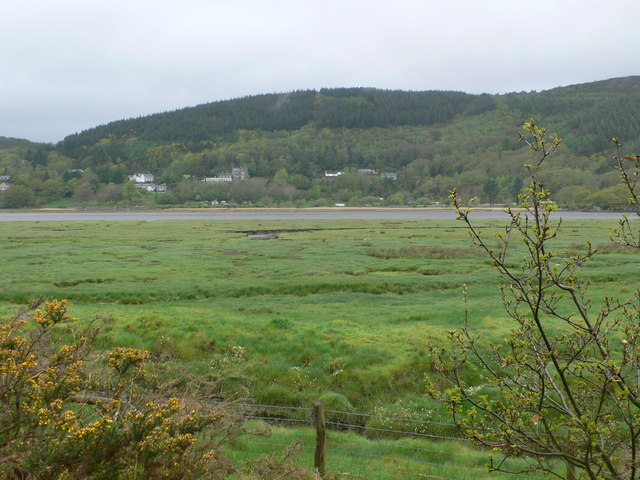
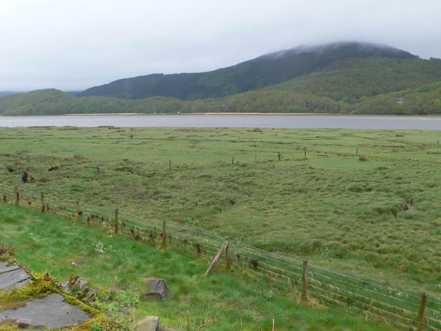
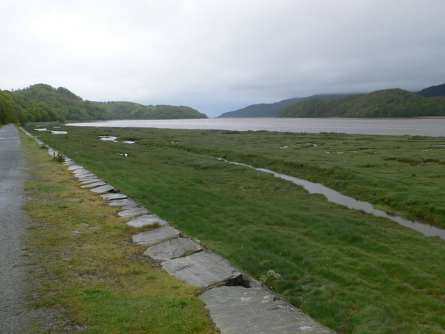
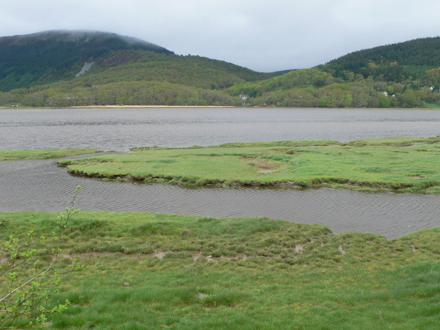
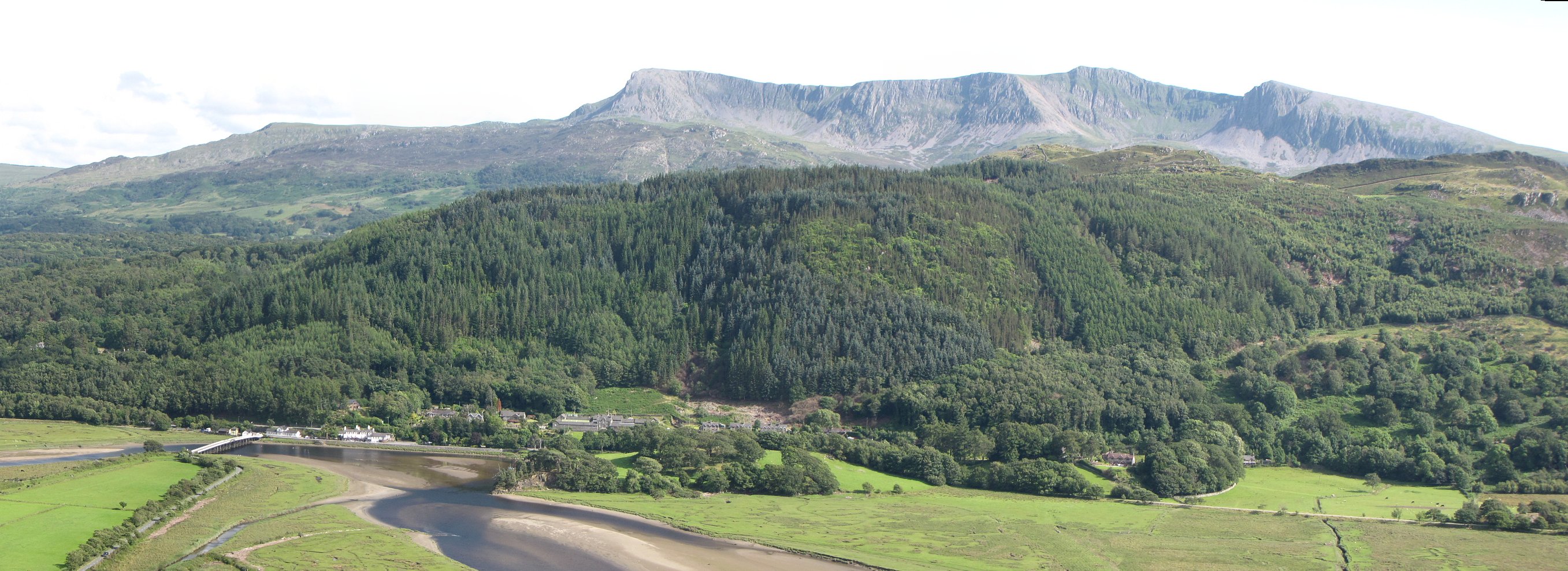
Coed y Gribin is a beautiful woodland area located in Merionethshire, Wales. Situated amidst the stunning Snowdonia National Park, this forest is a true gem for nature enthusiasts and outdoor adventurers alike. With its diverse range of flora and fauna, Coed y Gribin offers a tranquil escape from the hustle and bustle of everyday life.
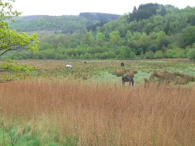
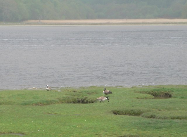
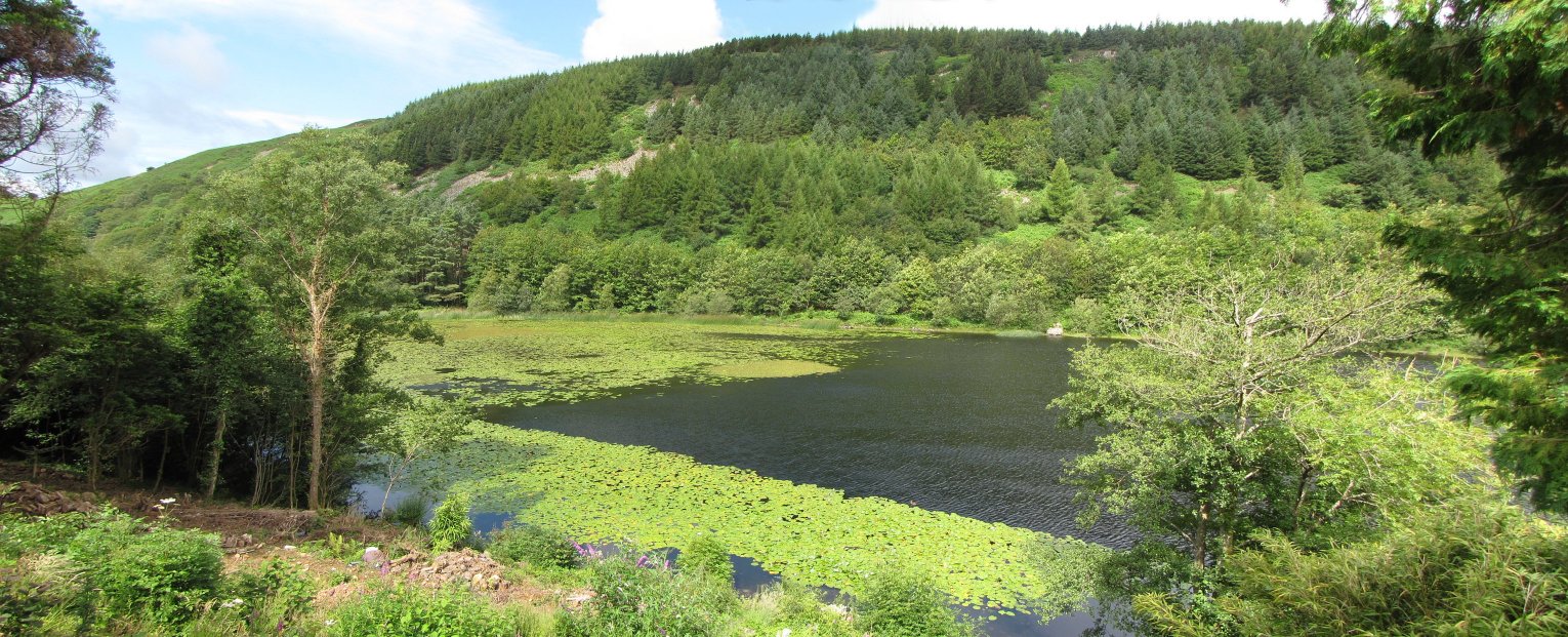
The woodland is characterized by its dense canopy of trees, including oak, birch, and beech. These towering trees provide shelter and food for a variety of wildlife, such as red squirrels, badgers, and numerous bird species. The forest floor is carpeted with a rich tapestry of wildflowers, adding to the area's natural beauty.
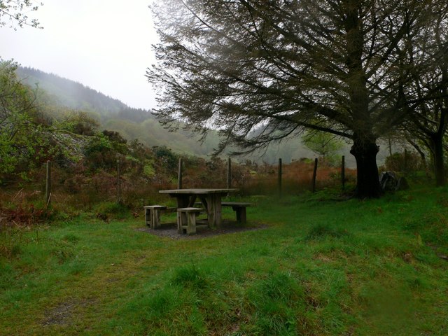
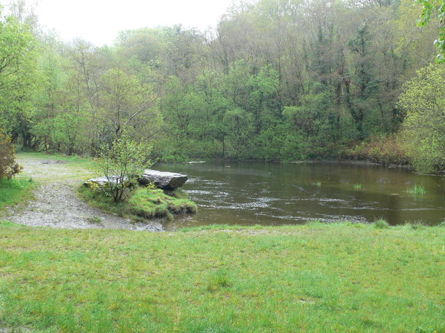
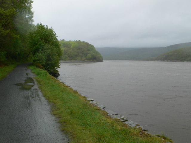
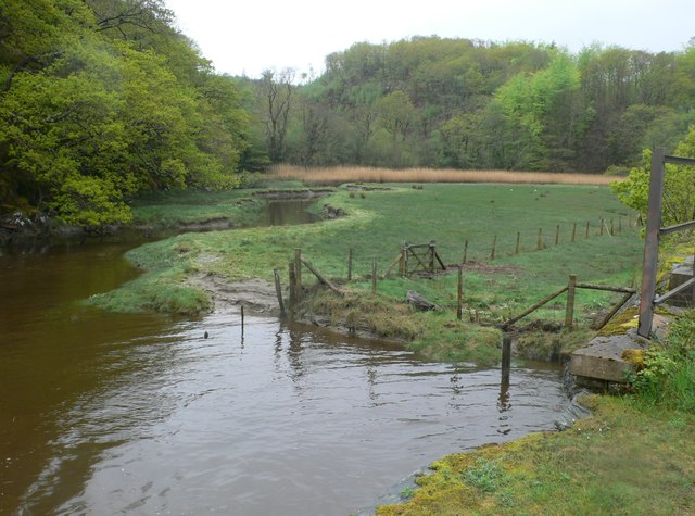
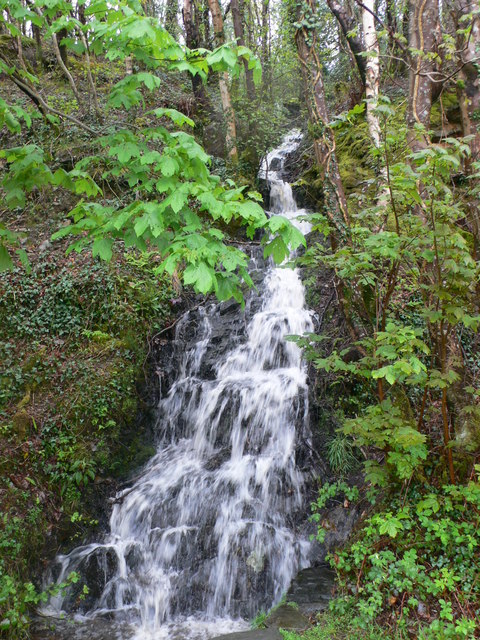
Coed y Gribin is crisscrossed by a network of walking trails, allowing visitors to explore the area at their own pace. These trails offer breathtaking views of the surrounding mountains and valleys, making it a popular spot for photographers and nature lovers. The forest is also home to a number of picturesque streams and waterfalls, adding to its enchanting atmosphere.
In addition to its natural allure, Coed y Gribin has a rich cultural heritage. The forest has been used for centuries by local communities for timber and traditional practices, and remnants of this history can still be found throughout the area.
Overall, Coed y Gribin is a must-visit destination for those seeking a true connection with nature. Its picturesque woodland, diverse wildlife, and peaceful ambiance make it a truly magical place to explore and appreciate the wonders of the natural world.
If you have any feedback on the listing, please let us know in the comments section below.
Coed y Gribin Images
Images are sourced within 2km of 52.733858/-3.9605681 or Grid Reference SH6716. Thanks to Geograph Open Source API. All images are credited.
Coed y Gribin is located at Grid Ref: SH6716 (Lat: 52.733858, Lng: -3.9605681)
Unitary Authority: Gwynedd
Police Authority: North Wales
What 3 Words
///impeached.spurned.windpipe. Near Dolgellau, Gwynedd
Nearby Locations
Related Wikis

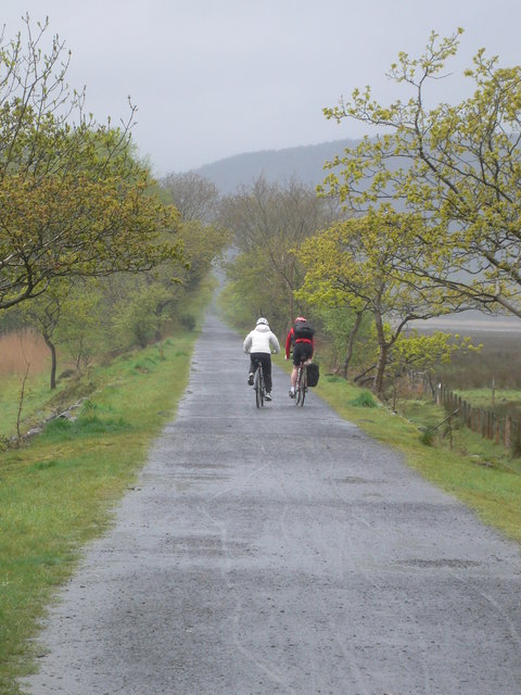
Mawddach Trail
The Mawddach Trail (Welsh: Llwybr Mawddach) is a cycle path route, part of Lôn Las Cymru, which runs for some 8 miles (13 km) from Dolgellau (52.7446°N...

Bontddu
Bontddu (meaning Black bridge) is a small settlement just east of Barmouth, near the town of Dolgellau in Gwynedd, Wales. It is in the community of Llanelltyd...
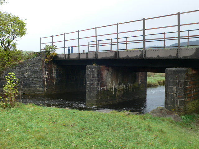
Penmaenpool
Penmaenpool (Welsh: Llynpenmaen) is a hamlet on the south side of the estuary of the River Mawddach in Wales, near Dolgellau. A Grade II listed toll bridge...

Penmaenpool railway station
Penmaenpool railway station at Penmaenpool in Gwynedd, North Wales, was formerly a station on the Dolgelly [sic] branch of the Aberystwith and Welsh Coast...

Borthwnog
Borthwnog is a family name given to the Borthwnog estate in Gwynedd, north-west Wales. Borthwnog Hall was the Manor House of the estate which encompassed...
Llyn Gwernan
Llyn Gwernan is a lake in Gwynedd, Wales and an important geological site, notable for an unusual thickness of Devensian Late-glacial organic deposits...

St Philip's Church, Caerdeon
St Philip's Church, Caerdeon, near Barmouth, in Gwynedd, North Wales, is a redundant church and a Grade I listed building. The church was built in 1862...
Tyn-y-Coed Farmhouse
Tyn-y-Coed Farmhouse is a grade II Listed Building in Caerdeon, Barmouth, Gwynedd. This Georgian farm house was built in 1756 and later extended and altered...
Nearby Amenities
Located within 500m of 52.733858,-3.9605681Have you been to Coed y Gribin?
Leave your review of Coed y Gribin below (or comments, questions and feedback).