Llyn Wylfa
Lake, Pool, Pond, Freshwater Marsh in Merionethshire
Wales
Llyn Wylfa

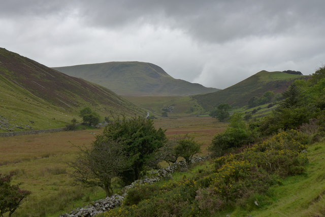
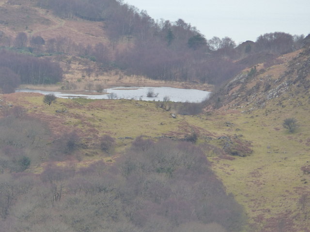
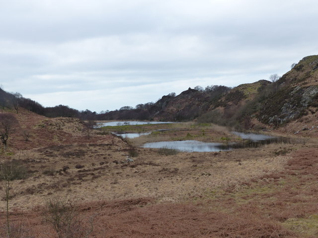
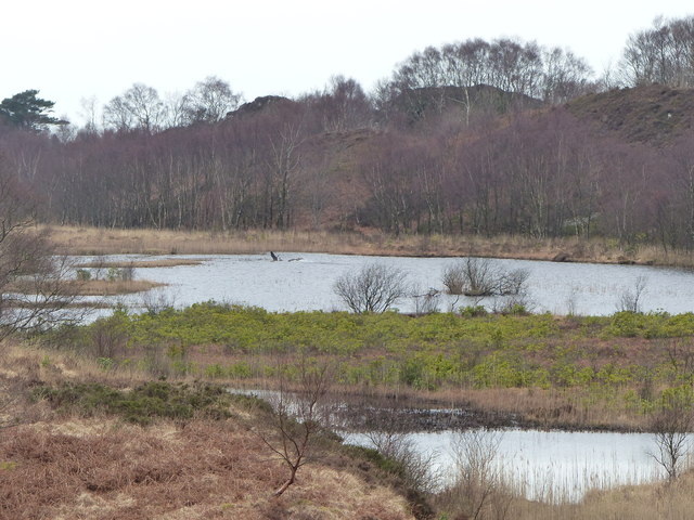
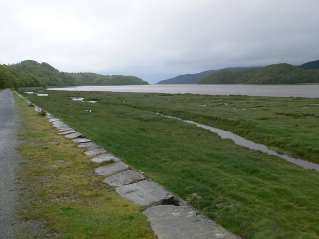
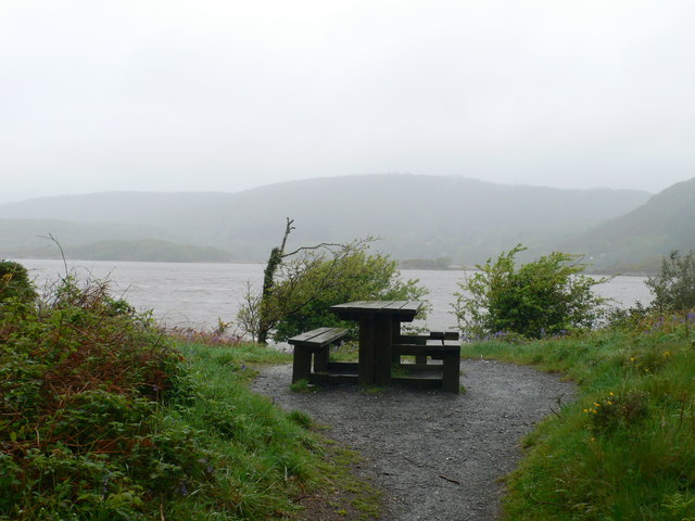
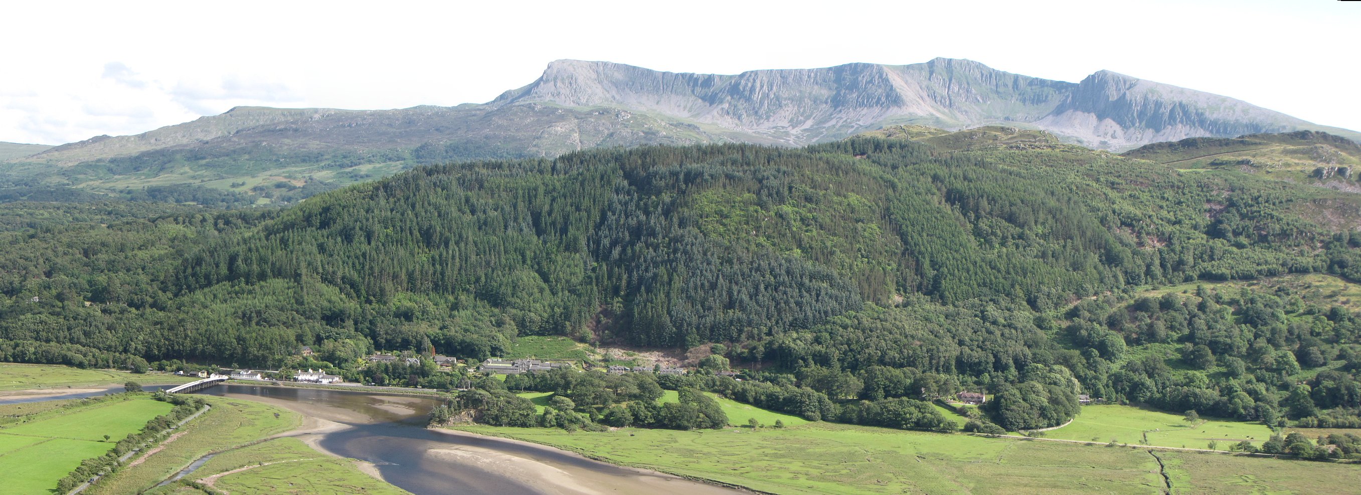
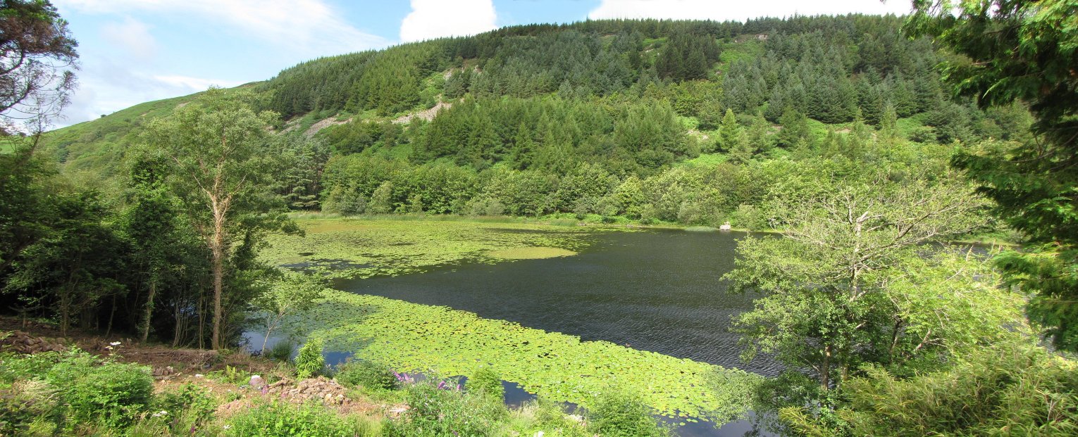
Llyn Wylfa is a freshwater lake located in the county of Merionethshire, Wales. Nestled amidst the picturesque Snowdonia National Park, it offers a serene and tranquil setting for nature enthusiasts and visitors alike.
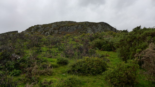
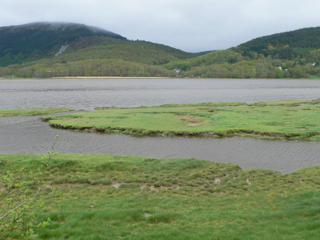
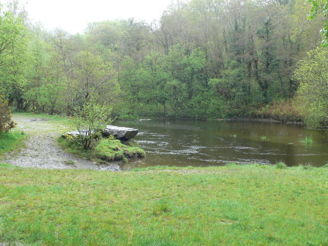
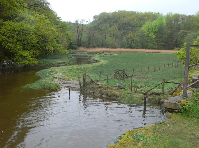
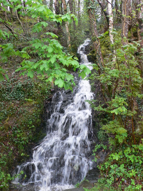
Covering an area of approximately 15 acres, Llyn Wylfa is surrounded by lush greenery and rolling hills, providing a breathtaking backdrop for its crystal-clear waters. The lake is fed by several small streams and springs, ensuring a constant flow of fresh water throughout the year.
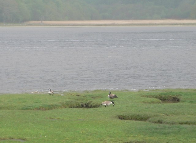
The lake is home to a wide variety of flora and fauna, making it a haven for wildlife enthusiasts and birdwatchers. Common sightings include ducks, swans, herons, and various species of fish that populate the lake's depths. The surrounding marshland provides a suitable habitat for amphibians and reptiles, adding to the biodiversity of the area.
Llyn Wylfa is a popular destination for fishing enthusiasts, offering ample opportunities to catch species such as brown trout, perch, and pike. Its calm waters make it an ideal spot for boating and kayaking as well, attracting water sports enthusiasts from far and wide.
For those seeking tranquility and relaxation, the lake's peaceful atmosphere provides an escape from the hustle and bustle of daily life. Surrounded by stunning natural beauty, Llyn Wylfa offers visitors a chance to reconnect with nature and enjoy the serenity of the Welsh countryside.
If you have any feedback on the listing, please let us know in the comments section below.
Llyn Wylfa Images
Images are sourced within 2km of 52.728014/-3.9686882 or Grid Reference SH6716. Thanks to Geograph Open Source API. All images are credited.
Llyn Wylfa is located at Grid Ref: SH6716 (Lat: 52.728014, Lng: -3.9686882)
Unitary Authority: Gwynedd
Police Authority: North Wales
What 3 Words
///slim.flagpole.extensive. Near Dolgellau, Gwynedd
Nearby Locations
Related Wikis

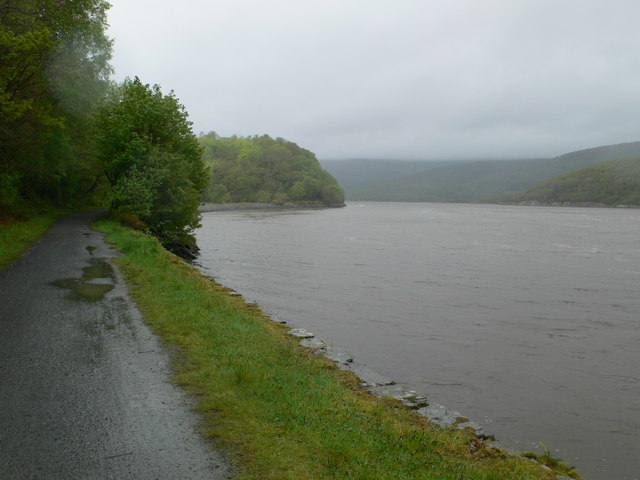
Mawddach Trail
The Mawddach Trail (Welsh: Llwybr Mawddach) is a cycle path route, part of Lôn Las Cymru, which runs for some 8 miles (13 km) from Dolgellau (52.7446°N...

Bontddu
Bontddu (meaning Black bridge) is a small settlement just east of Barmouth, near the town of Dolgellau in Gwynedd, Wales. It is in the community of Llanelltyd...

St Philip's Church, Caerdeon
St Philip's Church, Caerdeon, near Barmouth, in Gwynedd, North Wales, is a redundant church and a Grade I listed building. The church was built in 1862...

Tyn-y-Coed Farmhouse
Tyn-y-Coed Farmhouse is a grade II Listed Building in Caerdeon, Barmouth, Gwynedd. This Georgian farm house was built in 1756 and later extended and altered...
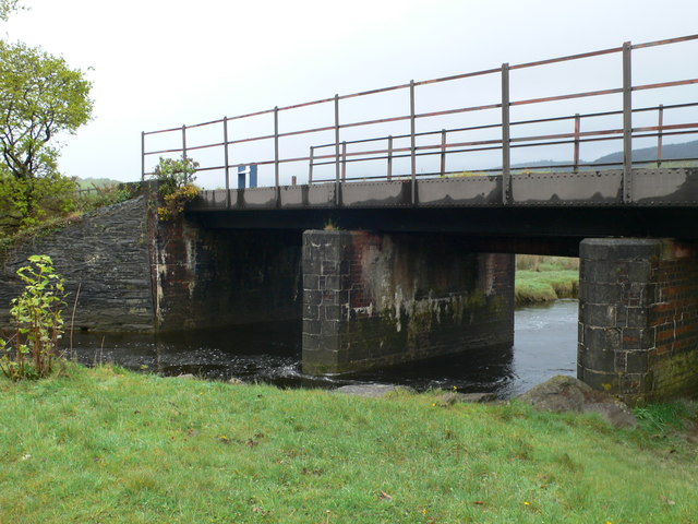
Penmaenpool
Penmaenpool (Welsh: Llynpenmaen) is a hamlet on the south side of the estuary of the River Mawddach in Wales, near Dolgellau. A Grade II listed toll bridge...
Llyn Gwernan
Llyn Gwernan is a lake in Gwynedd, Wales and an important geological site, notable for an unusual thickness of Devensian Late-glacial organic deposits...

Penmaenpool railway station
Penmaenpool railway station at Penmaenpool in Gwynedd, North Wales, was formerly a station on the Dolgelly [sic] branch of the Aberystwith and Welsh Coast...
Borthwnog
Borthwnog is a family name given to the Borthwnog estate in Gwynedd, north-west Wales. Borthwnog Hall was the Manor House of the estate which encompassed...
Nearby Amenities
Located within 500m of 52.728014,-3.9686882Have you been to Llyn Wylfa?
Leave your review of Llyn Wylfa below (or comments, questions and feedback).