Cynwyl Gaeo
Community in Carmarthenshire
Wales
Cynwyl Gaeo
Cynwyl Gaeo is a rural community located in the county of Carmarthenshire, Wales. Situated in the western part of the county, it covers an area of approximately 47 square kilometers. The community is composed of several small villages and hamlets, including Cynwyl Gaeo, Ffarmers, Llanfihangel Rhos-y-Corn, and Talley.
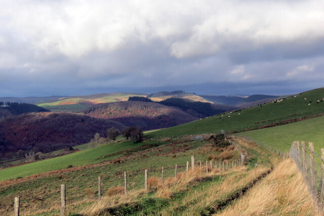
The landscape of Cynwyl Gaeo is characterized by rolling hills, lush farmland, and picturesque countryside views. It is nestled within the Cambrian Mountains, offering residents and visitors a tranquil and scenic environment. The area is renowned for its natural beauty, attracting nature enthusiasts and outdoor lovers.
Historically, Cynwyl Gaeo has strong agricultural roots, with farming playing a significant role in the local economy. The community is home to a number of working farms, which contribute to the agricultural heritage of the area.
Despite its rural setting, Cynwyl Gaeo benefits from good road connections, with the A482 passing through the community, providing easy access to nearby towns and cities. The community also has a primary school, providing education for local children.
Cynwyl Gaeo is rich in cultural heritage, with several historic landmarks and sites of interest. One notable example is the 12th-century Talley Abbey, a former monastery and now a popular tourist attraction. Visitors can explore the ruins of the abbey, which provide a glimpse into the area's medieval past.
Overall, Cynwyl Gaeo offers a peaceful and idyllic lifestyle, surrounded by natural beauty and steeped in history. It is a close-knit community that cherishes its rural heritage while embracing modern amenities and connectivity.
If you have any feedback on the listing, please let us know in the comments section below.
Cynwyl Gaeo Images
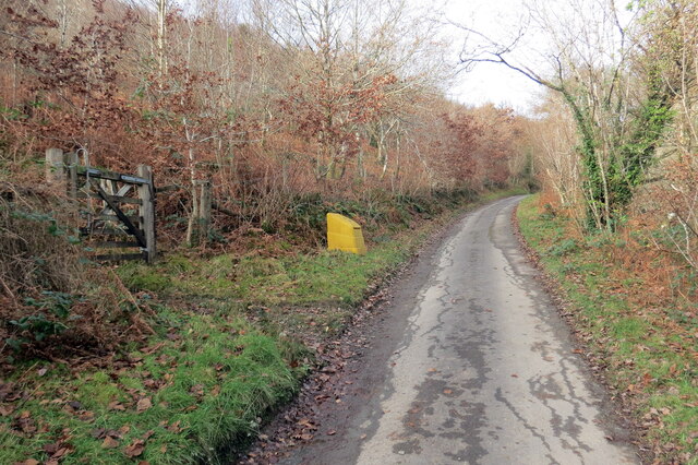
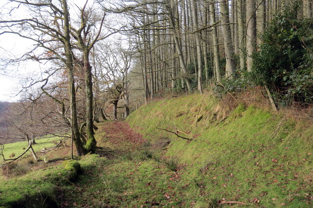
Images are sourced within 2km of 52.071182/-3.934019 or Grid Reference SN6743. Thanks to Geograph Open Source API. All images are credited.
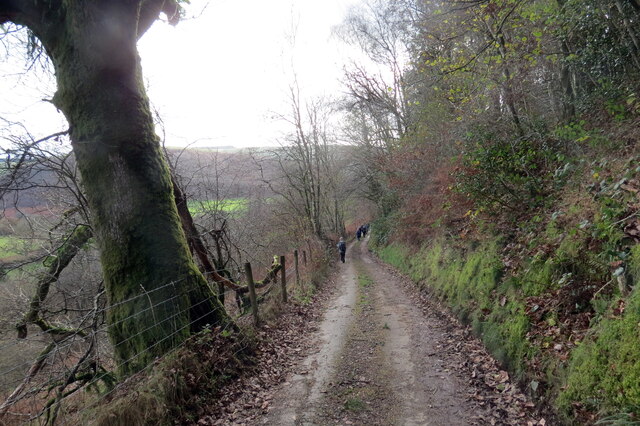
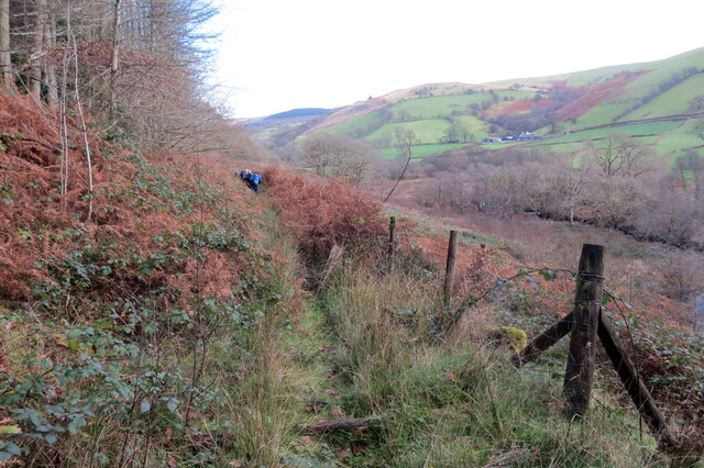
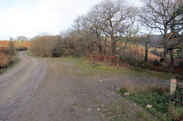
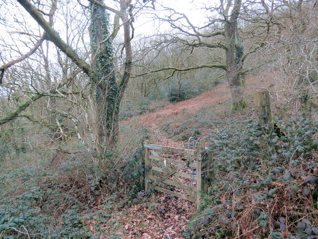
![Llwybr uwchben Caio / Path above Caio Llwybr cyhoeddus uwchben Caio ac yn sy'n mynd i gyfeiriad Cwm Cothi.
A public footpath above the village of Caio and heading towards Cwm Cothi (trans. [river] Cothi valley).](https://s1.geograph.org.uk/geophotos/07/38/65/7386501_ee6ae911.jpg)
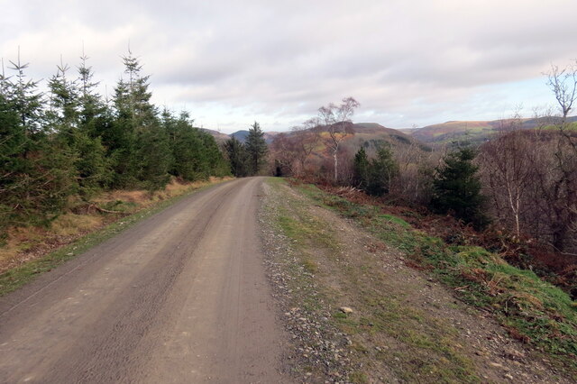
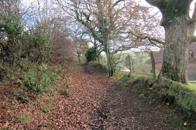
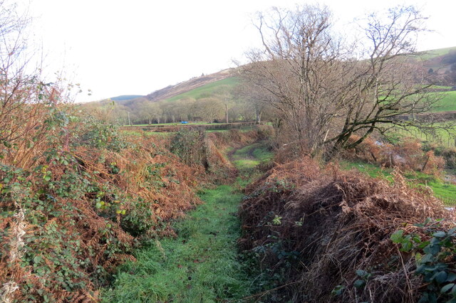
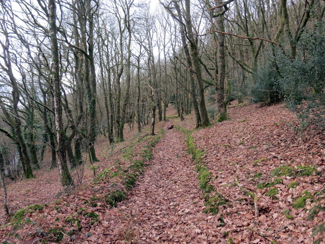
![Tuag at Gwm Cothi / Towards Cwm Cothi Llwybr troed cyhoeddus yn mynd i lawr y waered tuag ay Gwm Cothi.
A public footpath descending towards Cwm Cothi (trans. [river] Cothi valley).](https://s3.geograph.org.uk/geophotos/07/38/65/7386503_933f9711.jpg)

Cynwyl Gaeo is located at Grid Ref: SN6743 (Lat: 52.071182, Lng: -3.934019)
Unitary Authority: Carmarthenshire
Police Authority: Dyfed-Powys
What 3 Words
///blurts.songbird.riders. Near Llansawel, Carmarthenshire
Nearby Locations
Related Wikis

Cynwyl Gaeo
Cynwyl Gaeo is a parish and community located in rural Carmarthenshire, Wales, near the boundary with Ceredigion, in the upper Cothi valley about halfway...

Dolaucothi Estate
The Dolaucothi Estate (also Dolaucothy) is situated about 1 mile (1.6 km) north-west of the village of Caio up the Cothi Valley in the community of Cynwyl...

Ffarmers
Ffarmers is a village near Lampeter, in the north of Carmarthenshire, Wales. It was named after the old "Farmers' Arms" public house, which is now closed...

Dolaucothi Gold Mines
The Dolaucothi Gold Mines (pronounced [ˌdɔlaiˈkɔθɪ]; Welsh: Mwynfeydd Aur Dolaucothi) (grid reference SN662403), also known as the Ogofau Gold Mine, are...

Pumsaint
Pumsaint is a village in Carmarthenshire, Wales, halfway between Llanwrda and Lampeter on the A482 in the valley of the Afon Cothi. It forms part of the...

Caio, Carmarthenshire
Caio (or Caeo) is a village in the county of Carmarthenshire, south-west Wales, sited near to the Dolaucothi Gold Mines. == Location == It is located between...

Afon Twrch, Carmarthenshire
The Afon Twrch is a short river in Carmarthenshire, West Wales. It joins the River Cothi (itself a left-bank tributary of the River Towy) at the village...

Luentinum
Luentinum or Loventium refers to the Roman fort at Pumsaint, Carmarthenshire. The 1.9 hectares (4.7 acres) site lies either side of the A482 in Pumsaint...
Have you been to Cynwyl Gaeo?
Leave your review of Cynwyl Gaeo below (or comments, questions and feedback).