Trawsgoed

Community in Cardiganshire

Wales

Trawsgoed

Fields west of Cnwch Coch Enclosed grazing to the west of the village of Cnwch Coch.  The nameless stream running in the wooded ditch on the left soon joins the Nant Magwr, a tributary of the Afon Ystwyth.
Fields west of Cnwch Coch Credit: Rudi Winter

Trawsgoed is a community located in the county of Cardiganshire, Wales. It is situated in the picturesque Cambrian Mountains, approximately 10 miles southeast of Aberystwyth. The community covers an area of around 20 square miles and is home to a population of around 500 people.

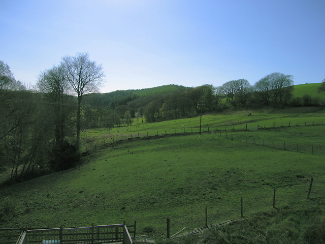
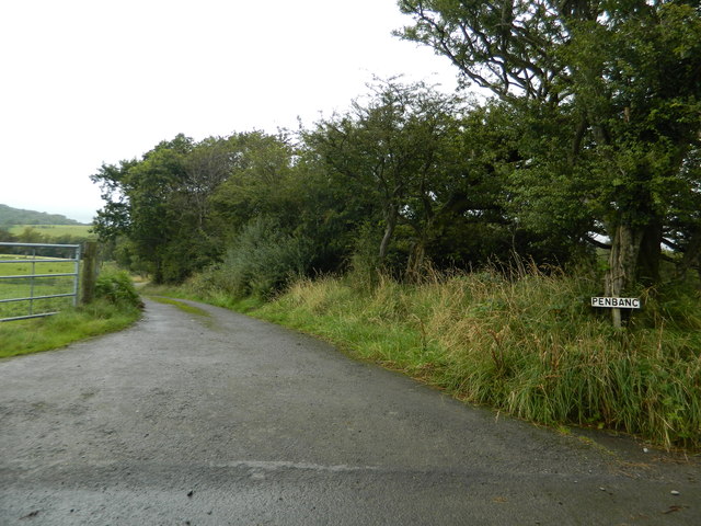
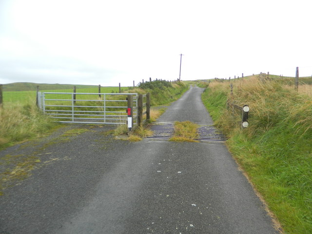
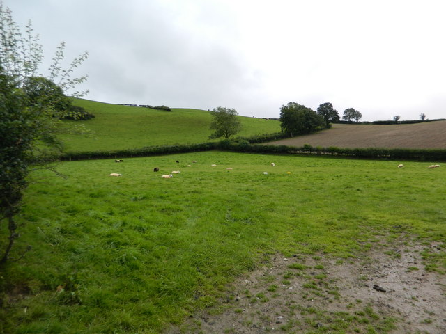
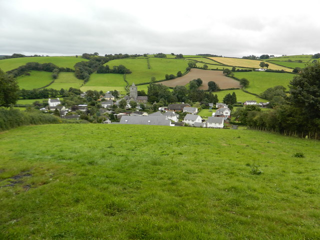
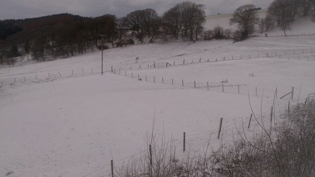
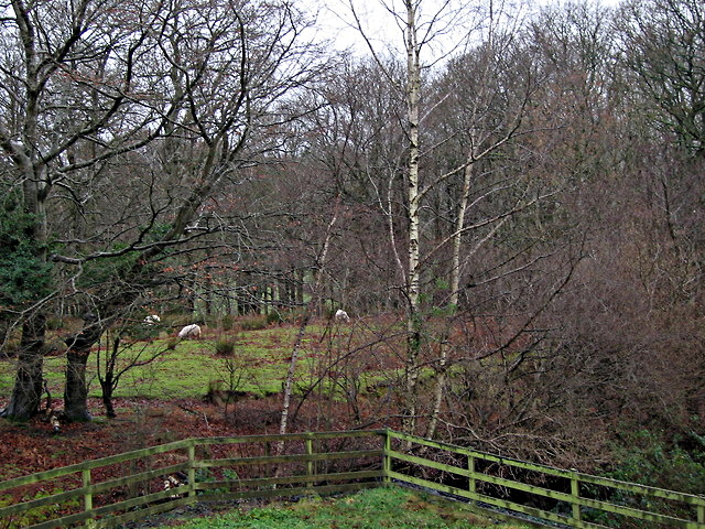
Trawsgoed is known for its stunning natural beauty, with rolling hills, dense forests, and meandering rivers. The area is a haven for outdoor enthusiasts, offering numerous walking and hiking trails, as well as opportunities for fishing and birdwatching. The community is also part of the UNESCO-designated Dyfi Biosphere, which recognizes its rich biodiversity and unique landscapes.

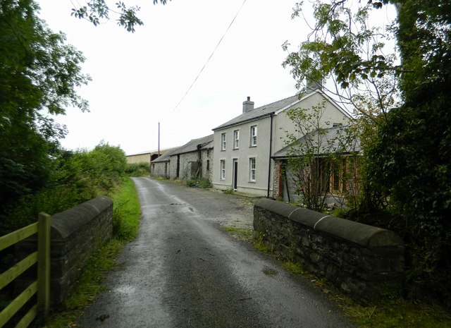
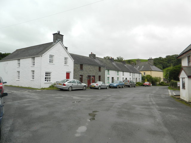
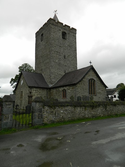
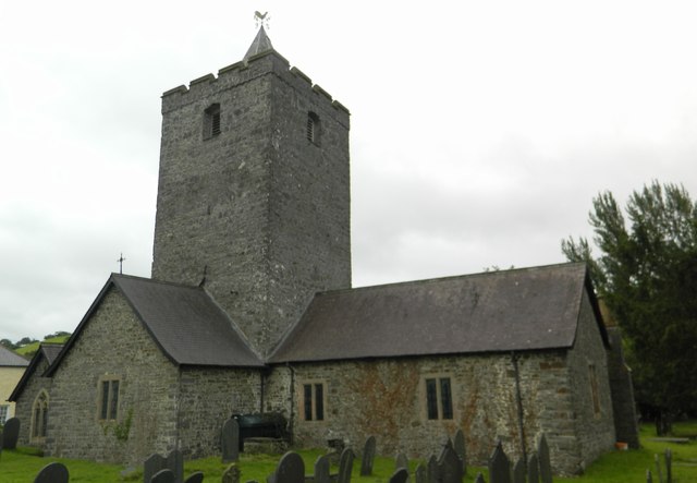
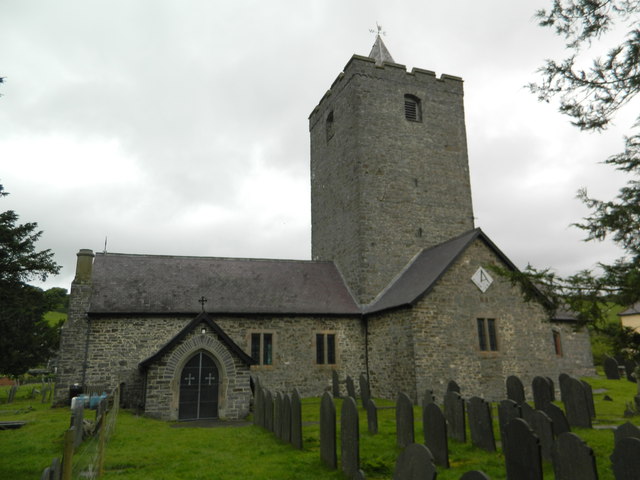
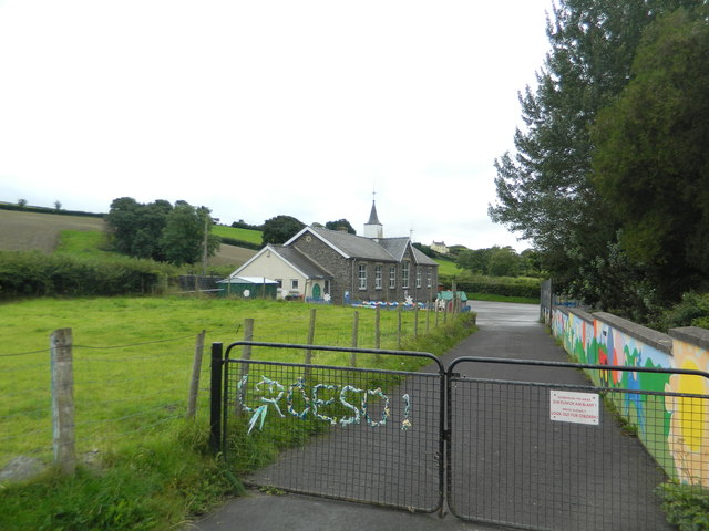
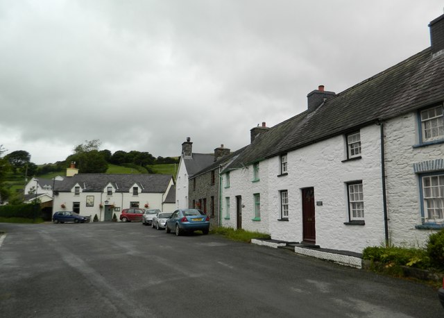
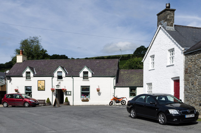
The village of Trawsgoed itself is small but vibrant, with a close-knit community. It has a range of amenities, including a primary school, village hall, and a post office. There are also several historic buildings in the area, such as the Trawsgoed Mansion, a Grade II listed building that dates back to the 18th century.

The economy of Trawsgoed is largely based on agriculture and forestry, with many residents working in these industries. Additionally, the community benefits from tourism, attracting visitors who come to explore the natural surroundings and enjoy the tranquility of the area.

Overall, Trawsgoed offers a peaceful and idyllic countryside setting, making it an attractive place to live or visit for those seeking a rural escape.

If you have any feedback on the listing, please let us know in the comments section below.
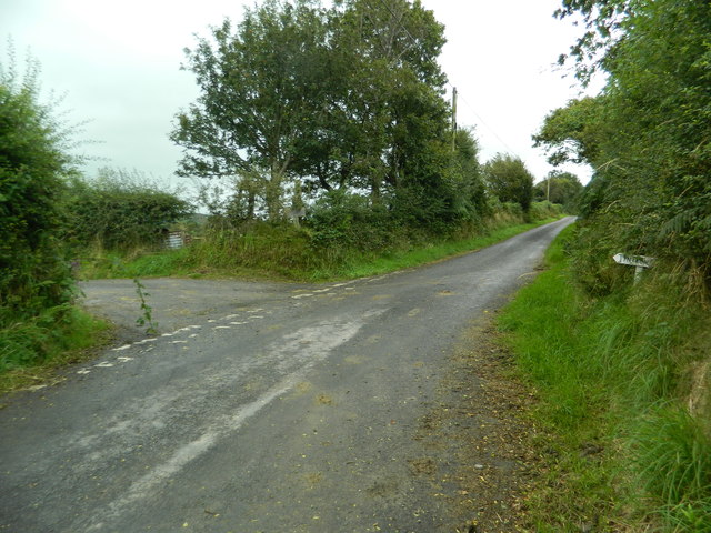
Trawsgoed Images

Images are sourced within 2km of 52.355747/-3.944938 or Grid Reference SN6774. Thanks to Geograph Open Source API. All images are credited.

Fields west of Cnwch Coch Enclosed grazing to the west of the village of Cnwch Coch.  The nameless stream running in the wooded ditch on the left soon joins the Nant Magwr, a tributary of the Afon Ystwyth.
Fields west of Cnwch Coch
Enclosed grazing to the west of the village of Cnwch Coch. The nameless stream running in the wooded ditch on the left soon joins the Nant Magwr, a tributary of the Afon Ystwyth.
The track to Pen-y-banc
Cattle-grid
Cattle-grid
Pasture south of Llanfihangel-y-Creuddyn
The start of the lane to Tynfrondel, Llanfihangel-y-Creuddyn The sign pointing to Tynfrondel can just be seen in the hedge.
The start of the lane to Tynfrondel, Llanfihangel-y-Creuddyn
The sign pointing to Tynfrondel can just be seen in the hedge.
Pen-dre,and bridge across Afon Ceunant, Llanfihangel-y-Creuddyn
Looking down on Llanfihangel-y-Creuddyn
The village centre, Llanfihangel-y-Creuddyn
The Church of St Michael, Llanfihangel-y-Creuddyn Mihangel is the Welsh form of Michael, and the M mutates to an F after the Llan.(Compare the very common Llanfair, where Fair is a mutated form of Mair, i.e. Mary.)
The Church of St Michael, Llanfihangel-y-Creuddyn
Mihangel is the Welsh form of Michael, and the M mutates to an F after the Llan.(Compare the very common Llanfair, where Fair is a mutated form of Mair, i.e. Mary.)
The Church of St Michael, Llanfihangel-y-Creuddyn
The school, Llanfihangel-y-Creuddyn
The village centre, Llanfihangel-y-Creuddyn The building at the far side is the pub, "Y Ffarmers".(See advert on <a href="https://www.geograph.org.uk/photo/3089739">SN6677 : The roads to New Cross and Llanfihangel-y-Creuddyn</a>)
The village centre, Llanfihangel-y-Creuddyn
The building at the far side is the pub, "Y Ffarmers".(See advert on SN6677 : The roads to New Cross and Llanfihangel-y-Creuddyn)
Snowy fields, Cnwch Coch Heavy snow had been forecast for the night, but most of it ended up in southeast Wales.  North Ceredigion got all the fun but little of the worry.
Snowy fields, Cnwch Coch
Heavy snow had been forecast for the night, but most of it ended up in southeast Wales. North Ceredigion got all the fun but little of the worry.
The cemetery, Cnwch Coch
Sheep pasture at Cnwch Coch A flock of sheep occupy a long narrow field speckled with trees on the south bank of the local stream, which is a tributary of the Nant Magwr.
Sheep pasture at Cnwch Coch
A flock of sheep occupy a long narrow field speckled with trees on the south bank of the local stream, which is a tributary of the Nant Magwr.
Y Ffarmers Pub in Llanfihangel y Creuddyn.
Y Ffarmers
Pub in Llanfihangel y Creuddyn.
Llanfihangel y Creuddyn Row of 19th century cottages opposite the church in Llanfihangel y Creuddyn.

Nearest house - not identified.

Then (all grade II listed): 
Creuddyn Villa (unpainted) - see <span class="nowrap"><a title="http://cadwpublic-api.azurewebsites.net/reports/listedbuilding/FullReport?lang=en&id=2855" rel="nofollow ugc noopener" href="http://cadwpublic-api.azurewebsites.net/reports/listedbuilding/FullReport?lang=en&id=2855">Link</a><img style="margin-left:2px;" alt="External link" title="External link - shift click to open in new window" src="https://s1.geograph.org.uk/img/external.png" width="10" height="10"/></span>
Cartref (with the following two, Ceunant House and Llwyn, making up the  whitewashed terrace) - see <span class="nowrap"><a title="http://cadwpublic-api.azurewebsites.net/reports/listedbuilding/FullReport?lang=en&id=9852" rel="nofollow ugc noopener" href="http://cadwpublic-api.azurewebsites.net/reports/listedbuilding/FullReport?lang=en&id=9852">Link</a><img style="margin-left:2px;" alt="External link" title="External link - shift click to open in new window" src="https://s1.geograph.org.uk/img/external.png" width="10" height="10"/></span>
<span class="nowrap"><a title="http://cadwpublic-api.azurewebsites.net/reports/listedbuilding/FullReport?lang=en&id=9853" rel="nofollow ugc noopener" href="http://cadwpublic-api.azurewebsites.net/reports/listedbuilding/FullReport?lang=en&id=9853">Link</a><img style="margin-left:2px;" alt="External link" title="External link - shift click to open in new window" src="https://s1.geograph.org.uk/img/external.png" width="10" height="10"/></span>
<span class="nowrap"><a title="http://cadwpublic-api.azurewebsites.net/reports/listedbuilding/FullReport?lang=en&id=9856" rel="nofollow ugc noopener" href="http://cadwpublic-api.azurewebsites.net/reports/listedbuilding/FullReport?lang=en&id=9856">Link</a><img style="margin-left:2px;" alt="External link" title="External link - shift click to open in new window" src="https://s1.geograph.org.uk/img/external.png" width="10" height="10"/></span>.

Beyond and separate is Lisburne House, dating from the late 18th/early 19th century and also grade II listed - see <span class="nowrap"><a title="http://cadwpublic-api.azurewebsites.net/reports/listedbuilding/FullReport?lang=en&id=9851" rel="nofollow ugc noopener" href="http://cadwpublic-api.azurewebsites.net/reports/listedbuilding/FullReport?lang=en&id=9851">Link</a><img style="margin-left:2px;" alt="External link" title="External link - shift click to open in new window" src="https://s1.geograph.org.uk/img/external.png" width="10" height="10"/></span>.
Llanfihangel y Creuddyn
Row of 19th century cottages opposite the church in Llanfihangel y Creuddyn. Nearest house - not identified. Then (all grade II listed): Creuddyn Villa (unpainted) - see LinkExternal link Cartref (with the following two, Ceunant House and Llwyn, making up the whitewashed terrace) - see LinkExternal link LinkExternal link LinkExternal link. Beyond and separate is Lisburne House, dating from the late 18th/early 19th century and also grade II listed - see LinkExternal link.
Show me another place!

Trawsgoed is located at Grid Ref: SN6774 (Lat: 52.355747, Lng: -3.944938)

Unitary Authority: Ceredigion

Police Authority: Dyfed-Powys

What 3 Words

///pint.down.convinced. Near Llanilar, Ceredigion

Related Wikis

Banc-y-môr

Banc-y-môr is a small village in the community of Trawsgoed, Ceredigion, Wales, which is 69.4 miles (111.6 km) from Cardiff and 173.5 miles (279.1 km...

Abermagwr

Abermagwr is a small settlement in the county of Ceredigion, Wales. It is on the B4340 road and is 11 kilometres (7 mi) southeast of the town of Aberystwyth...

Trawsgoed

Trawsgoed (Welsh for "Crosswood") is both a community and an estate in Ceredigion, Wales. The estate is 8 miles (13 km) southeast of Aberystwyth, and has...

Llanfihangel y Creuddyn

Llanfihangel-y-Creuddyn (Welsh: [ɬanvɪˈhaŋɛl ɨ ˈkrɛɨðɨn] ) is an ancient parish in the upper division of the hundred of Ilar, Ceredigion, West Wales, 7...

Nearby Amenities

Located within 500m of 52.355747,-3.944938
Place: farm
Lat/Long: 52.3579578/-3.945578
Place: farm
Lat/Long: 52.3593731/-3.9424881
Place: farm
Lat/Long: 52.3525598/-3.9445426
Cnwch Coch
Place: hamlet
Wikidata: Q13127175
Wikipedia: cy:Cnwch Coch
Lat/Long: 52.3567718/-3.9449113
Shelter
Shelter Type: public_transport
Lat/Long: 52.3574667/-3.9458923
Telephone
Defibrillator
Booth: KX100
Covered: booth
Defibrillator Location: inside phone box by bus shelter in Cnwch Coch
Emergency: defibrillator
Man Made: telephone_box
Lat/Long: 52.357449/-3.9458863
Post Box
Post Box Type: lamp
Lat/Long: 52.3574364/-3.9458796
Direction: 175
Generator Method: photovoltaic
Generator Output Electricity: yes
Generator Solar Modules: 10
Generator Source: solar
Generator Type: solar_photovoltaic_panel
Location: roof
Power: generator
Lat/Long: 52.3593782/-3.9425951
Direction: 175
Generator Method: photovoltaic
Generator Output Electricity: yes
Generator Solar Modules: 10
Generator Source: solar
Generator Type: solar_photovoltaic_panel
Location: roof
Power: generator
Lat/Long: 52.3594035/-3.9426005
Direction: SSE
Generator Method: photovoltaic
Generator Output Electricity: yes
Generator Solar Modules: 8
Generator Source: solar
Generator Type: solar_photovoltaic_panel
Location: roof
Power: generator
Lat/Long: 52.3583208/-3.946707
Direction: 165
Generator Method: photovoltaic
Generator Output Electricity: yes
Generator Solar Modules: 15
Generator Source: solar
Generator Type: solar_photovoltaic_panel
Location: roof
Power: generator
Lat/Long: 52.3574567/-3.9433783
Direction: 170
Generator Method: photovoltaic
Generator Output Electricity: yes
Generator Solar Modules: 10
Generator Source: solar
Generator Type: solar_photovoltaic_panel
Location: roof
Power: generator
Lat/Long: 52.3573748/-3.9442085
Direction: 170
Generator Method: photovoltaic
Generator Output Electricity: yes
Generator Solar Modules: 8
Generator Source: solar
Generator Type: solar_photovoltaic_panel
Location: roof
Power: generator
Lat/Long: 52.3572798/-3.9452223
The data included in this document is from www.openstreetmap.org. The data is made available under ODbL.

Have you been to Trawsgoed?

Leave your review of Trawsgoed below (or comments, questions and feedback).