Cae Coed

Wood, Forest in Cardiganshire

Wales

Cae Coed

The road past Cynon-fawr farm A narrow road with not many passing places. The house seen in the distance is Bryn-gibadda, in the next square.
The road past Cynon-fawr farm Credit: Nigel Brown

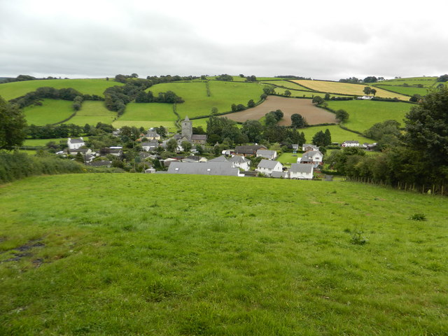
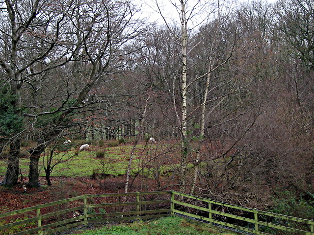
Cae Coed, located in Cardiganshire, is a picturesque woodland area renowned for its natural beauty and diverse ecosystem. Covering a vast expanse of approximately 500 acres, this enchanting forest is nestled amidst the rolling hills and valleys of the Welsh countryside.

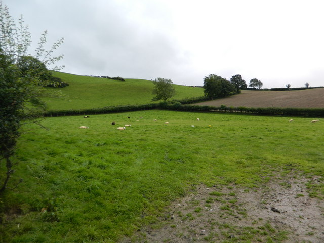
The woodland is predominantly composed of mixed deciduous trees, including oak, birch, ash, and beech, which create a vibrant tapestry of colors throughout the year. The forest floor is adorned with an array of native flora, such as bluebells, foxgloves, and wild garlic, adding to the charm and biodiversity of Cae Coed.

Home to a variety of wildlife, the forest provides a sanctuary for numerous species. Birdwatchers can spot a range of avian inhabitants, including woodpeckers, owls, and various songbirds. Mammals such as badgers, foxes, and deer also roam these woodlands, adding to the natural allure of the area.

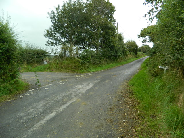
Cae Coed offers a plethora of recreational activities for nature enthusiasts and outdoor adventurers. Visitors can explore the numerous walking trails that wind through the forest, allowing them to immerse themselves in the tranquility of the surroundings. The forest also provides ample opportunities for photography, birdwatching, and nature study.

The management of Cae Coed is focused on preserving the ecological integrity of the woodland and promoting sustainable practices. Conservation efforts include the establishment of designated areas for wildlife habitats and the maintenance of the forest's delicate ecosystem.

In summary, Cae Coed is a captivating forest in Cardiganshire that offers a breathtaking landscape, rich biodiversity, and a range of recreational activities. It serves as a haven for both wildlife and humans, providing an opportunity to connect with nature and appreciate the wonders of the Welsh countryside.

If you have any feedback on the listing, please let us know in the comments section below.
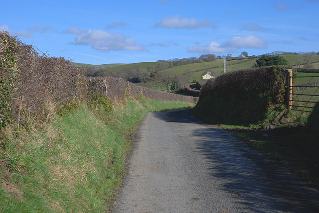
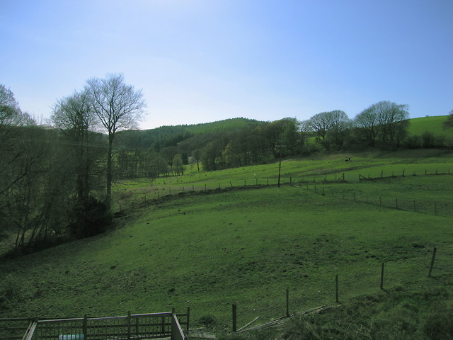
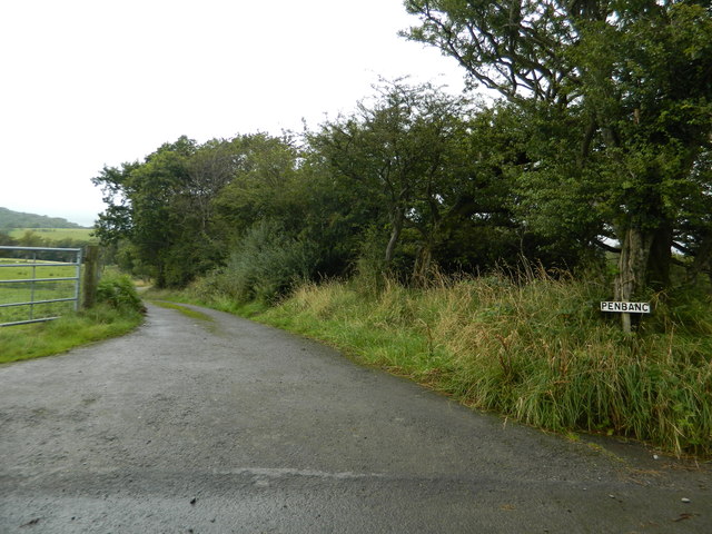
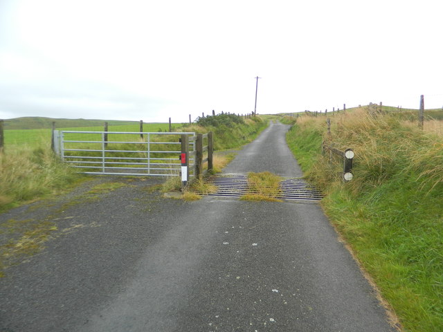
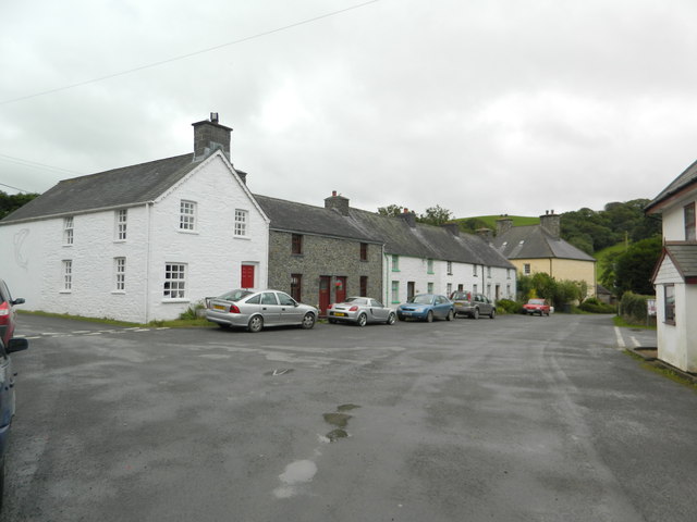
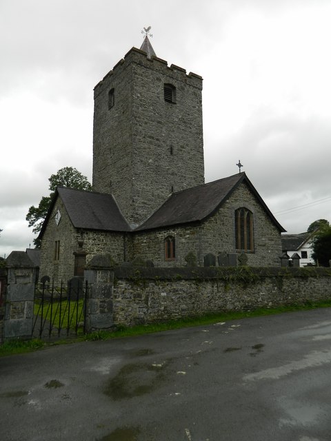
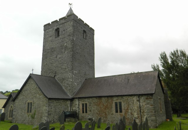
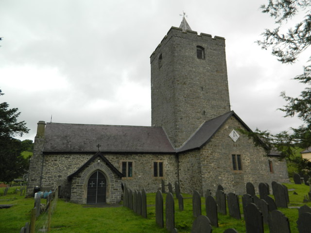
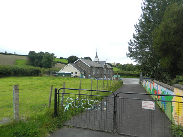
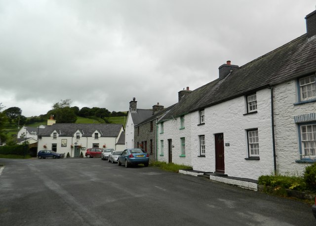
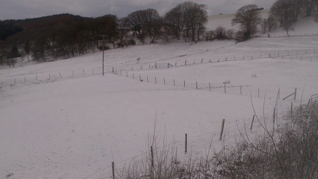
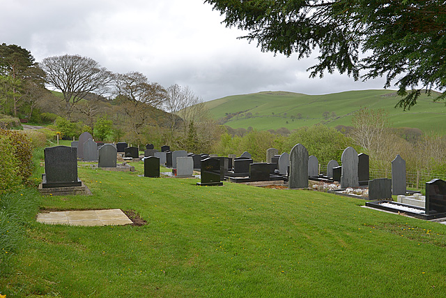
Cae Coed Images

Images are sourced within 2km of 52.356561/-3.9468601 or Grid Reference SN6774. Thanks to Geograph Open Source API. All images are credited.

The road past Cynon-fawr farm A narrow road with not many passing places. The house seen in the distance is Bryn-gibadda, in the next square.
The road past Cynon-fawr farm
A narrow road with not many passing places. The house seen in the distance is Bryn-gibadda, in the next square.
Fields west of Cnwch Coch Enclosed grazing to the west of the village of Cnwch Coch.  The nameless stream running in the wooded ditch on the left soon joins the Nant Magwr, a tributary of the Afon Ystwyth.
Fields west of Cnwch Coch
Enclosed grazing to the west of the village of Cnwch Coch. The nameless stream running in the wooded ditch on the left soon joins the Nant Magwr, a tributary of the Afon Ystwyth.
The track to Pen-y-banc
Cattle-grid
Cattle-grid
Pasture south of Llanfihangel-y-Creuddyn
The start of the lane to Tynfrondel, Llanfihangel-y-Creuddyn The sign pointing to Tynfrondel can just be seen in the hedge.
The start of the lane to Tynfrondel, Llanfihangel-y-Creuddyn
The sign pointing to Tynfrondel can just be seen in the hedge.
Pen-dre,and bridge across Afon Ceunant, Llanfihangel-y-Creuddyn
Looking down on Llanfihangel-y-Creuddyn
The village centre, Llanfihangel-y-Creuddyn
The Church of St Michael, Llanfihangel-y-Creuddyn Mihangel is the Welsh form of Michael, and the M mutates to an F after the Llan.(Compare the very common Llanfair, where Fair is a mutated form of Mair, i.e. Mary.)
The Church of St Michael, Llanfihangel-y-Creuddyn
Mihangel is the Welsh form of Michael, and the M mutates to an F after the Llan.(Compare the very common Llanfair, where Fair is a mutated form of Mair, i.e. Mary.)
The Church of St Michael, Llanfihangel-y-Creuddyn
The school, Llanfihangel-y-Creuddyn
The village centre, Llanfihangel-y-Creuddyn The building at the far side is the pub, "Y Ffarmers".(See advert on <a href="https://www.geograph.org.uk/photo/3089739">SN6677 : The roads to New Cross and Llanfihangel-y-Creuddyn</a>)
The village centre, Llanfihangel-y-Creuddyn
The building at the far side is the pub, "Y Ffarmers".(See advert on SN6677 : The roads to New Cross and Llanfihangel-y-Creuddyn)
Snowy fields, Cnwch Coch Heavy snow had been forecast for the night, but most of it ended up in southeast Wales.  North Ceredigion got all the fun but little of the worry.
Snowy fields, Cnwch Coch
Heavy snow had been forecast for the night, but most of it ended up in southeast Wales. North Ceredigion got all the fun but little of the worry.
The cemetery, Cnwch Coch
Sheep pasture at Cnwch Coch A flock of sheep occupy a long narrow field speckled with trees on the south bank of the local stream, which is a tributary of the Nant Magwr.
Sheep pasture at Cnwch Coch
A flock of sheep occupy a long narrow field speckled with trees on the south bank of the local stream, which is a tributary of the Nant Magwr.
Y Ffarmers Pub in Llanfihangel y Creuddyn.
Y Ffarmers
Pub in Llanfihangel y Creuddyn.
Show me another place!

Cae Coed is located at Grid Ref: SN6774 (Lat: 52.356561, Lng: -3.9468601)

Unitary Authority: Ceredigion

Police Authority: Dyfed Powys

What 3 Words

///spoils.withdraws.lime. Near Llanilar, Ceredigion

Related Wikis

Banc-y-môr

Banc-y-môr is a small village in the community of Trawsgoed, Ceredigion, Wales, which is 69.4 miles (111.6 km) from Cardiff and 173.5 miles (279.1 km...

Abermagwr

Abermagwr is a small settlement in the county of Ceredigion, Wales. It is on the B4340 road and is 11 kilometres (7 mi) southeast of the town of Aberystwyth...

Llanfihangel y Creuddyn

Llanfihangel-y-Creuddyn (Welsh: [ɬanvɪˈhaŋɛl ɨ ˈkrɛɨðɨn] ) is an ancient parish in the upper division of the hundred of Ilar, Ceredigion, West Wales, 7...

Trawsgoed

Trawsgoed (Welsh for "Crosswood") is both a community and an estate in Ceredigion, Wales. The estate is 8 miles (13 km) southeast of Aberystwyth, and has...

Creuddyn, Ceredigion

Creuddyn was a medieval commote (cwmwd) and, later, a lordship in Ceredigion, Wales. It was located between the rivers Ystwyth and Rheidol, and was one...

Felindyffryn Halt railway station

Felindyffryn Halt was located on the Carmarthen to Aberystwyth Line, originally called the Manchester and Milford Railway, before being transferred to...

Trawscoed railway station

Trawscoed railway station was located on the Carmarthen to Aberystwyth Line (originally called the Manchester and Milford Railway before being transferred...

Hendre-Rhys

Hendre-Rhys is a small village in the community of Trawsgoed, Ceredigion, Wales, which is 67.8 miles (109.2 km) from Cardiff and 173 miles (278.4 km)...

Nearby Amenities

Located within 500m of 52.356561,-3.9468601
Place: farm
Lat/Long: 52.3579578/-3.945578
Place: farm
Lat/Long: 52.3593731/-3.9424881
Place: farm
Lat/Long: 52.3525598/-3.9445426
Cnwch Coch
Place: hamlet
Wikidata: Q13127175
Wikipedia: cy:Cnwch Coch
Lat/Long: 52.3567718/-3.9449113
Shelter
Shelter Type: public_transport
Lat/Long: 52.3574667/-3.9458923
Telephone
Defibrillator
Booth: KX100
Covered: booth
Defibrillator Location: inside phone box by bus shelter in Cnwch Coch
Emergency: defibrillator
Man Made: telephone_box
Lat/Long: 52.357449/-3.9458863
Post Box
Post Box Type: lamp
Lat/Long: 52.3574364/-3.9458796
Direction: 125
Fixme: module count guesstimate
Generator Method: photovoltaic
Generator Output Electricity: yes
Generator Solar Modules: 20
Generator Source: solar
Generator Type: solar_photovoltaic_panel
Location: roof
Power: generator
Lat/Long: 52.3560757/-3.9528734
Direction: 175
Generator Method: photovoltaic
Generator Output Electricity: yes
Generator Solar Modules: 10
Generator Source: solar
Generator Type: solar_photovoltaic_panel
Location: roof
Power: generator
Lat/Long: 52.3593782/-3.9425951
Direction: 175
Generator Method: photovoltaic
Generator Output Electricity: yes
Generator Solar Modules: 10
Generator Source: solar
Generator Type: solar_photovoltaic_panel
Location: roof
Power: generator
Lat/Long: 52.3594035/-3.9426005
Direction: SSE
Generator Method: photovoltaic
Generator Output Electricity: yes
Generator Solar Modules: 8
Generator Source: solar
Generator Type: solar_photovoltaic_panel
Location: roof
Power: generator
Lat/Long: 52.3583208/-3.946707
Direction: 165
Generator Method: photovoltaic
Generator Output Electricity: yes
Generator Solar Modules: 15
Generator Source: solar
Generator Type: solar_photovoltaic_panel
Location: roof
Power: generator
Lat/Long: 52.3574567/-3.9433783
Direction: 170
Generator Method: photovoltaic
Generator Output Electricity: yes
Generator Solar Modules: 10
Generator Source: solar
Generator Type: solar_photovoltaic_panel
Location: roof
Power: generator
Lat/Long: 52.3573748/-3.9442085
Direction: 170
Generator Method: photovoltaic
Generator Output Electricity: yes
Generator Solar Modules: 8
Generator Source: solar
Generator Type: solar_photovoltaic_panel
Location: roof
Power: generator
Lat/Long: 52.3572798/-3.9452223
The data included in this document is from www.openstreetmap.org. The data is made available under ODbL.

Have you been to Cae Coed?

Leave your review of Cae Coed below (or comments, questions and feedback).