Coed Ynystudur

Wood, Forest in Cardiganshire

Wales

Coed Ynystudur

View to the Dyfi estuary Looking over Gwar-cwm-isaf farm,
View to the Dyfi estuary Credit: Nigel Brown

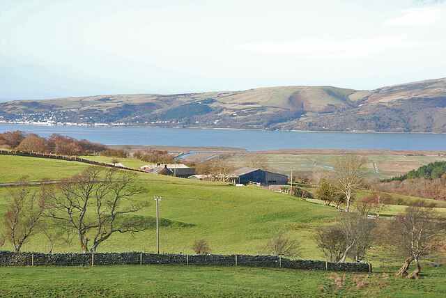
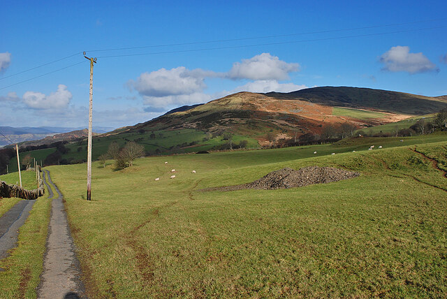
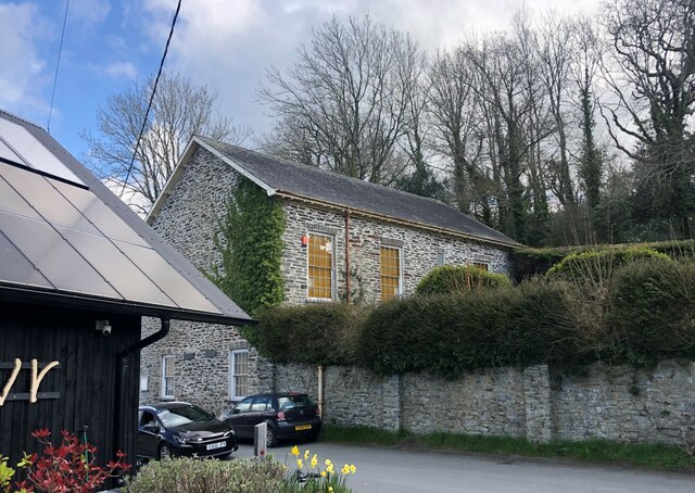
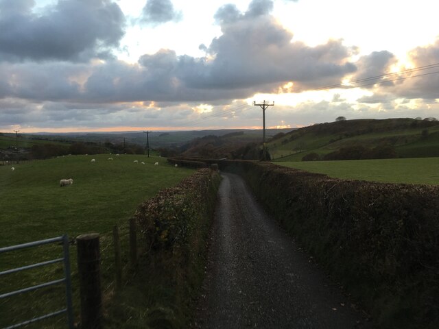
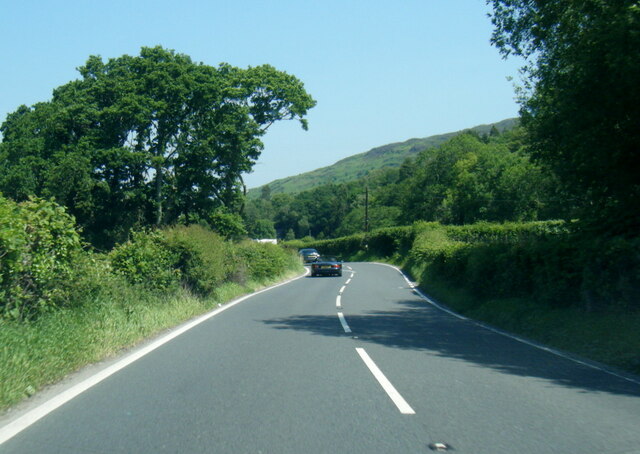
Coed Ynystudur, located in Cardiganshire, Wales, is a picturesque wood or forest that spans a significant area. It is known for its stunning natural beauty and rich biodiversity. The wood is situated near the village of Ynystudur and is easily accessible to visitors.

Covering approximately several hectares, Coed Ynystudur boasts a diverse range of tree species, including oak, beech, ash, and birch. The canopy created by these trees provides a cool and shaded environment, inviting visitors to explore and appreciate the tranquility of the woodland. The forest floor is covered with a thick carpet of moss, ferns, and wildflowers, adding to the enchanting atmosphere of the area.

Coed Ynystudur is home to a variety of wildlife species, attracting nature enthusiasts and bird watchers. Visitors may encounter woodland birds such as woodpeckers, owls, and various songbirds. Additionally, the forest supports a range of small mammals, including foxes, badgers, and squirrels.

The wood offers several walking trails and paths that allow visitors to immerse themselves in the natural surroundings. These trails vary in difficulty and length, catering to both casual strollers and avid hikers. Along the way, benches and picnic spots are strategically placed, providing opportunities for rest and relaxation.

Coed Ynystudur is not only a haven for nature lovers but also serves as an important ecological site. Efforts are made to preserve and protect the woodland, ensuring its sustainability for future generations to enjoy.

If you have any feedback on the listing, please let us know in the comments section below.

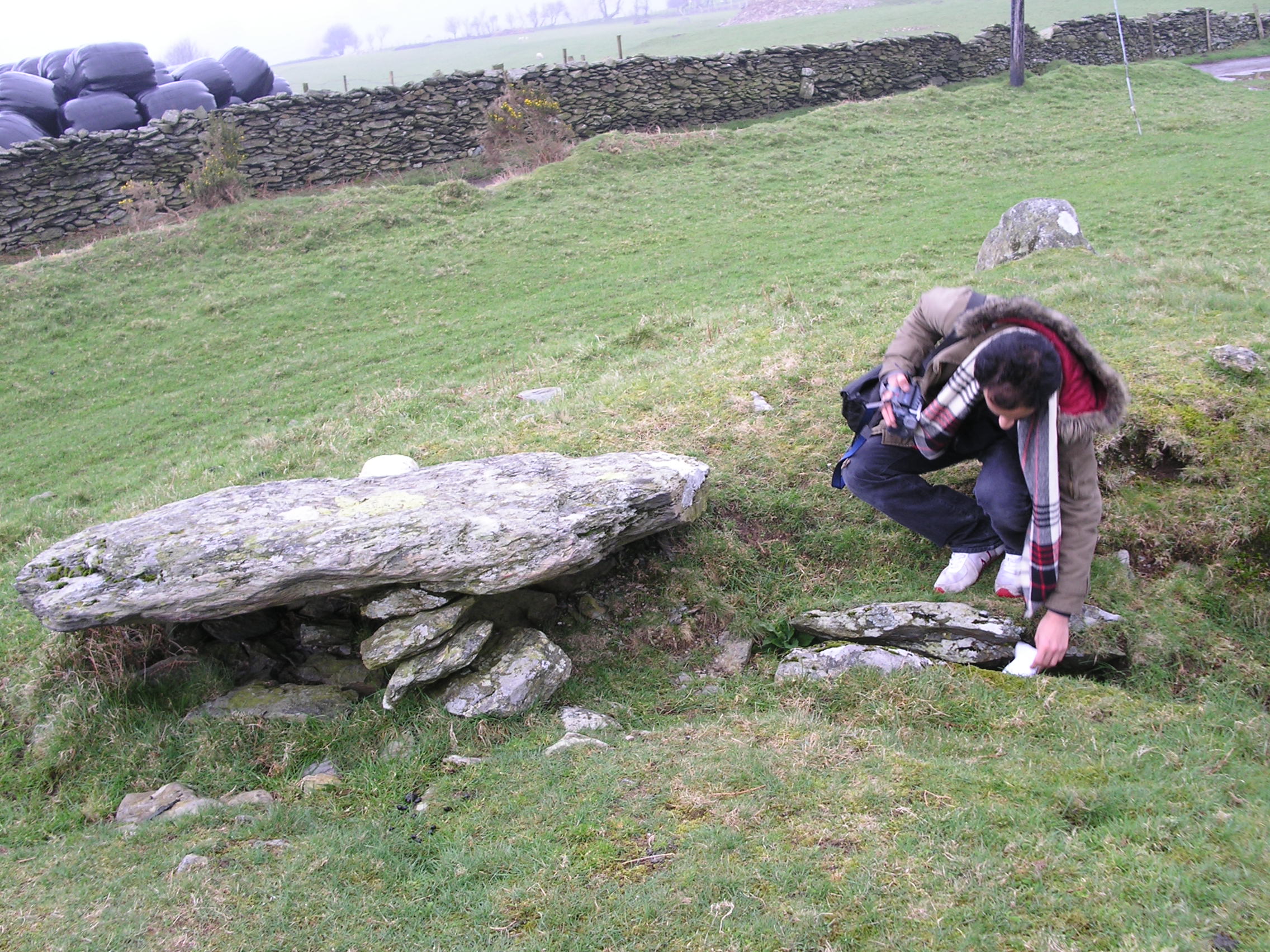
Coed Ynystudur Images

Images are sourced within 2km of 52.517504/-3.9540877 or Grid Reference SN6792. Thanks to Geograph Open Source API. All images are credited.

View to the Dyfi estuary Looking over Gwar-cwm-isaf farm,
View to the Dyfi estuary
Looking over Gwar-cwm-isaf farm,
Foel Goch seen from Bedd Taliesin
Bedd Taliesin Bedd Taliesin, a round-kerb cairn in Ceredigion, Wales is rumoured to be the legendary grave of the esteemed 6th-century Welsh poet Taliesin, Chief Bard of the Island of Britain.
Bedd Taliesin
Bedd Taliesin, a round-kerb cairn in Ceredigion, Wales is rumoured to be the legendary grave of the esteemed 6th-century Welsh poet Taliesin, Chief Bard of the Island of Britain.
Bedd Taliesin Round-kerb cairn in Ceredigion, Wales rumoured to be the legendary grave of the esteemed 6th-century Welsh poet Taliesin, Chief Bard of the Island of Britain
Bedd Taliesin
Round-kerb cairn in Ceredigion, Wales rumoured to be the legendary grave of the esteemed 6th-century Welsh poet Taliesin, Chief Bard of the Island of Britain
Soar Wesleyan Methodist Chapel - yr Hen Gapel Built in the early 1800's, it was converted to a Sunday School in 1877.
Soar Wesleyan Methodist Chapel - yr Hen Gapel
Built in the early 1800's, it was converted to a Sunday School in 1877.
Ordnance Survey Cut Mark This OS cut mark can be found on the wall west side of the road. It marks a point 41.319m above mean sea level.
Ordnance Survey Cut Mark
This OS cut mark can be found on the wall west side of the road. It marks a point 41.319m above mean sea level.
Milestone - Aberystwyth 10 Badly damaged milestone east side of road.
Milestone - Aberystwyth 10
Badly damaged milestone east side of road.
Ordnance Survey Cut Mark This OS cut mark can be found on the wall post NW side of the road. It marks a point 23.284m above mean sea level.
Ordnance Survey Cut Mark
This OS cut mark can be found on the wall post NW side of the road. It marks a point 23.284m above mean sea level.
Minor road near Tre Taliesin
Junctions on the A487 at Tre’r-Ddol
B4353 at the A487 junction
A487 in The Park woodland
A487 near Coed y Fedw
Soar chapel, Tre'r-ddol, Ceredigion A beautiful and historic old chapel in the village. Previously also a museum I believe. Now boarded up.
Soar chapel, Tre'r-ddol, Ceredigion
A beautiful and historic old chapel in the village. Previously also a museum I believe. Now boarded up.
Plaque on Soar chapel, Tre'r-ddol This plaque commemorates the Welsh Methodist Revival of 1859, which started here. It also mentions Humphrey Jones (1832-1895) who was born in the village and was a leading Methodist preacher in that revival and who later emigrated to America.
Plaque on Soar chapel, Tre'r-ddol
This plaque commemorates the Welsh Methodist Revival of 1859, which started here. It also mentions Humphrey Jones (1832-1895) who was born in the village and was a leading Methodist preacher in that revival and who later emigrated to America.
Soar chapel, Tre'r-ddol Old chapel. Once a hotbed of a Methodist revival in the 1850's where fire and brimstone preaching moved packed congregations of believers, now by-passed by our secular society.
Soar chapel, Tre'r-ddol
Old chapel. Once a hotbed of a Methodist revival in the 1850's where fire and brimstone preaching moved packed congregations of believers, now by-passed by our secular society.
Church in Tre'r-ddol, Ceredigion Ornate old church.
Church in Tre'r-ddol, Ceredigion
Ornate old church.
A487 at Penrhyn-gerwin
Show me another place!

Coed Ynystudur is located at Grid Ref: SN6792 (Lat: 52.517504, Lng: -3.9540877)

Unitary Authority: Ceredigion

Police Authority: Dyfed Powys

What 3 Words

///avoiding.relegate.passing. Near Borth, Ceredigion

Related Wikis

Coed Cwm Clettwr

Coed Cwm Clettwr is a Site of Special Scientific Interest in Ceredigion, west Wales. It is designated for mature broadleaf woodland.The alternative spelling...

Bedd Taliesin

Bedd Taliesin is the legendary grave (bedd) of the poet Taliesin, located in Ceredigion, Wales. The Bronze Age round cairn is a listed Historic Monument...

Coed y Garth, Ceredigion

Coed y Garth is a small village in the community of Ysgubor-y-coed, Ceredigion, Wales, which is 79.7 miles (128.2 km) from Cardiff and 176.9 miles (284...

Craig-y-penrhyn

Craig-y-penrhyn is a hamlet in the community of Llangynfelyn, Ceredigion, Wales, which is 79.3 miles (127.7 km) from Cardiff and 178.1 miles (286.6 km...

Llangynfelyn

Llangynfelyn is both a parish and a community in Ceredigion, Wales, midway between Aberystwyth and Machynlleth. It stretches from the Leri estuary in...

Furnace, Ceredigion

Furnace (Welsh: Ffwrnais) is a hamlet in Ceredigion, Wales on the A487 trunk road from Machynlleth to Aberystwyth, near Eglwysfach. It is the location...

Coed Cwm Einion

Coed Cwm Einion is a woodland to the east of the village of Furnace, in Ceredigion, west Wales. It is designated a Site of Special Scientific Interest...

Dyfi Furnace

Dyfi Furnace is a restored mid 18th century charcoal fired blast furnace used for smelting iron ore. It has given its name to the adjoining hamlet of Furnace...

Related Videos

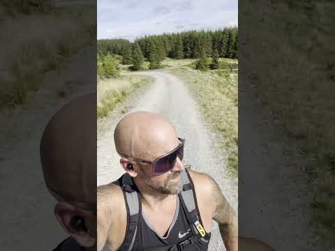
Bank holiday trail run and waterfall swim. Ceredigion Wales

Hard to beat a trailrun followed by a wild swim to get the endorphins going.

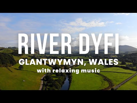
Beautiful Nature Scenery & Relaxing Music | 4K Aerial Views | Scenic Exploration

1 hour of Beautiful Nature Scenery with Relaxing Music. 4K Aerial Views of the River Dyfi (also known as River Dovey) in Wales ...

We’re off for a little adventure on a drive through the Dyfi Forest in Wales in the Black Beast

Another of our Welsh adventures takes us into the Dyfi (Dovey) Forest in Powys starting at Aberangell, it's a first for us on this road ...

Nearby Amenities

Located within 500m of 52.517504,-3.9540877
Place: farm
Lat/Long: 52.5145069/-3.9517159
Place: farm
Lat/Long: 52.5196773/-3.9565438
Place: farm
Lat/Long: 52.5202256/-3.9521021
Building: yes
Lat/Long: 52.5180582/-3.9487976
Power: pole
Lat/Long: 52.5131212/-3.9537397
Power: pole
Lat/Long: 52.5203273/-3.9493221
Power: pole
Lat/Long: 52.5192844/-3.9497754
Power: pole
Lat/Long: 52.5184863/-3.9501429
Power: pole
Lat/Long: 52.5173944/-3.9505371
Power: pole
Lat/Long: 52.5168036/-3.9509797
Power: pole
Lat/Long: 52.5159858/-3.9515483
Power: pole
Lat/Long: 52.5153525/-3.9520392
Power: pole
Lat/Long: 52.5146653/-3.9525837
Direction: 175
Generator Method: photovoltaic
Generator Output Electricity: yes
Generator Solar Modules: 4
Generator Source: solar
Generator Type: solar_photovoltaic_panel
Location: roof
Power: generator
Lat/Long: 52.5202906/-3.9580138
Direction: 175
Generator Method: photovoltaic
Generator Output Electricity: yes
Generator Solar Modules: 10
Generator Source: solar
Generator Type: solar_photovoltaic_panel
Location: roof
Power: generator
Lat/Long: 52.5202984/-3.9581251
The data included in this document is from www.openstreetmap.org. The data is made available under ODbL.

Have you been to Coed Ynystudur?

Leave your review of Coed Ynystudur below (or comments, questions and feedback).