Llŷs-y-gwynt Covert
Wood, Forest in Caernarfonshire
Wales
Llŷs-y-gwynt Covert
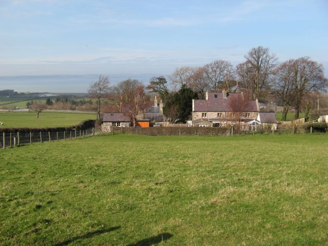
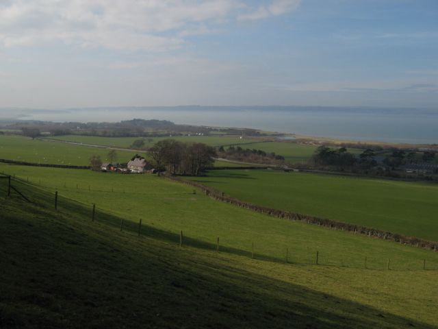
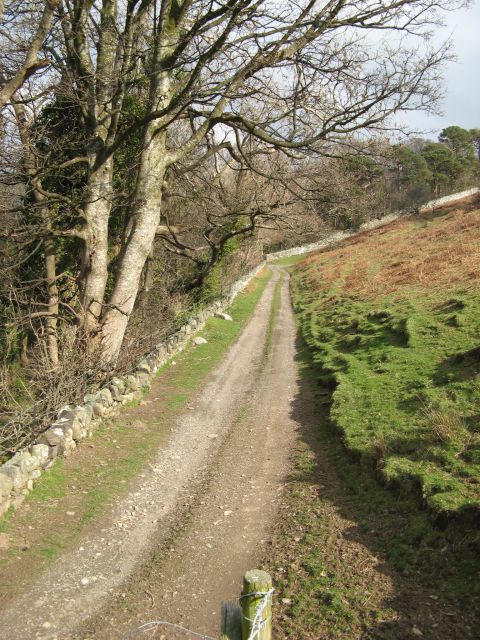
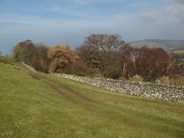
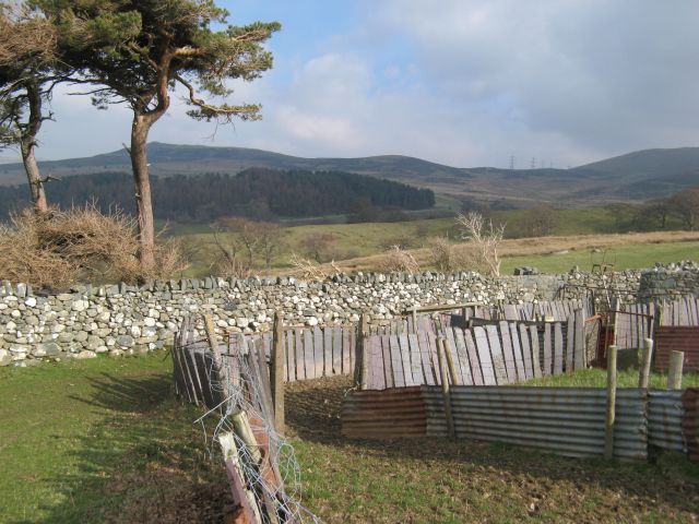
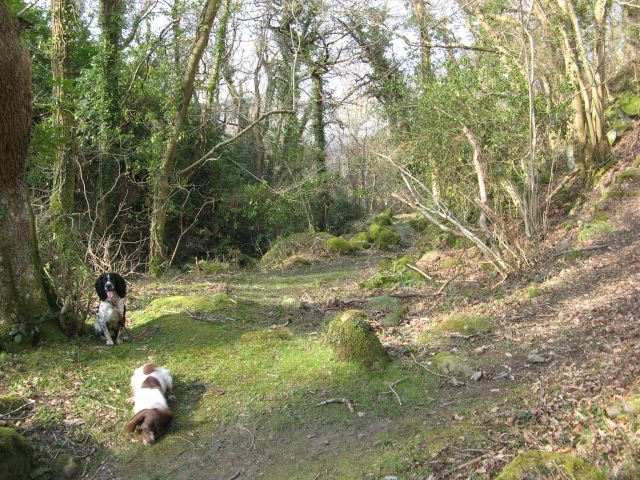
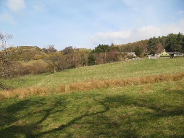
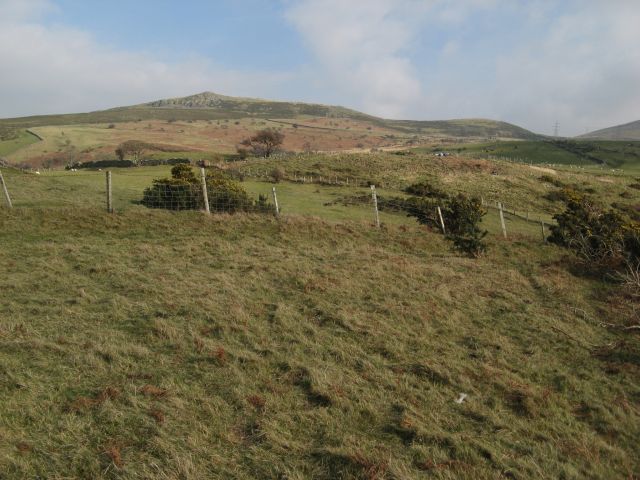
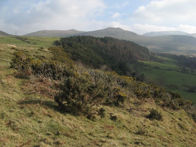
Llŷs-y-gwynt Covert is a picturesque woodland area located in the county of Caernarfonshire, Wales. Situated near the town of Caernarfon, this charming forest is known for its natural beauty, diverse flora and fauna, and tranquil atmosphere.
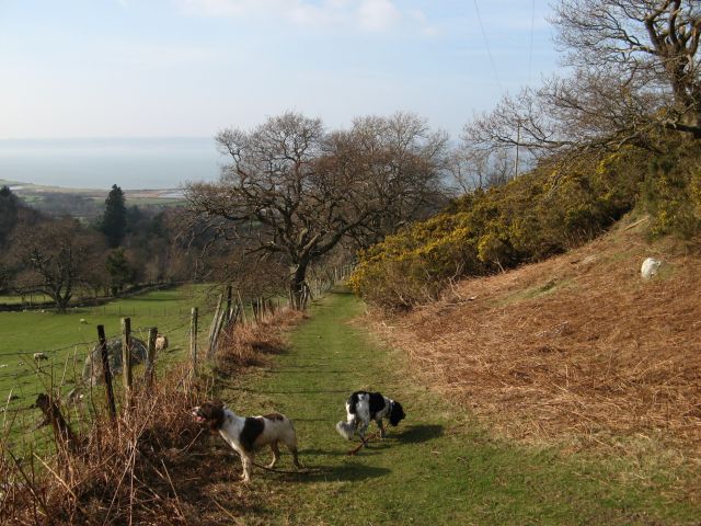
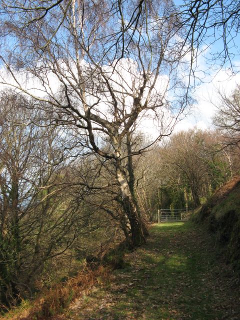
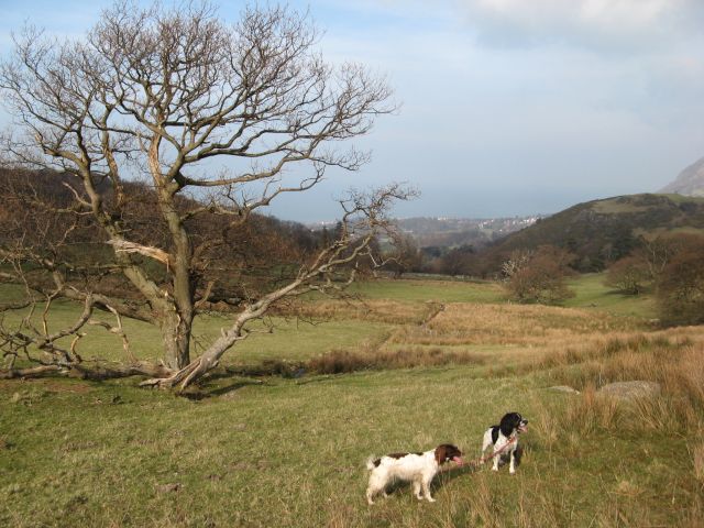
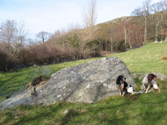
Covering an area of approximately 500 acres, Llŷs-y-gwynt Covert is predominantly composed of native broadleaf trees, including oak, ash, and beech. These majestic trees create a dense canopy, providing a haven for a wide variety of wildlife. Visitors to the forest can expect to encounter numerous bird species, such as woodpeckers, song thrushes, and owls, as well as small mammals like rabbits, badgers, and squirrels.
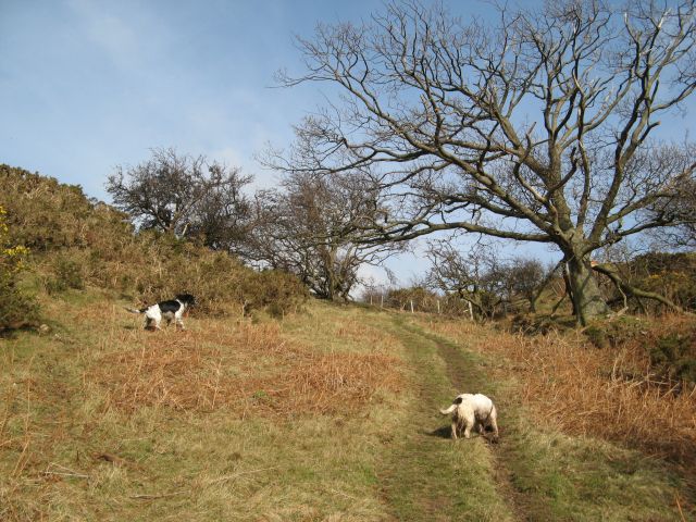
The woodland is crisscrossed by a network of well-maintained trails, making it an ideal destination for hikers, nature enthusiasts, and families. Exploring the forest, visitors will discover a rich tapestry of wildflowers, ferns, and mosses, which add to the enchanting ambiance of the area.
Llŷs-y-gwynt Covert also holds historical significance, as it is home to several prehistoric burial mounds and ancient ruins. These archaeological features provide a glimpse into the area's past and offer a unique opportunity for visitors to connect with the region's rich heritage.
Overall, Llŷs-y-gwynt Covert is a haven of tranquility and natural beauty. Whether you are seeking a peaceful walk through the woods or a chance to observe wildlife in its natural habitat, this woodland area in Caernarfonshire is sure to captivate and inspire.
If you have any feedback on the listing, please let us know in the comments section below.
Llŷs-y-gwynt Covert Images
Images are sourced within 2km of 53.242036/-3.9833514 or Grid Reference SH6773. Thanks to Geograph Open Source API. All images are credited.


Llŷs-y-gwynt Covert is located at Grid Ref: SH6773 (Lat: 53.242036, Lng: -3.9833514)
Unitary Authority: Conwy
Police Authority: North Wales
What 3 Words
///coffee.provoking.novelists. Near Llanfairfechan, Conwy
Nearby Locations
Related Wikis
Bryn y Neuadd Hospital
Bryn y Neuadd Hospital (Welsh: Ysbyty Bryn y Neuadd) is a mental health facility in Llanfairfechan, Conwy County Borough, Wales. It is managed by the Betsi...

St Winifred's School
St Winifred's School was a school for girls in Llanfairfechan, Conwy County Borough, Wales. == History == St. Winifred's was founded on 3 May 1887 and...

Llanfairfechan
Llanfairfechan (Welsh for 'Little St Mary's Parish') is a town and community in the Conwy County Borough, Wales. It is known as a seaside resort and had...
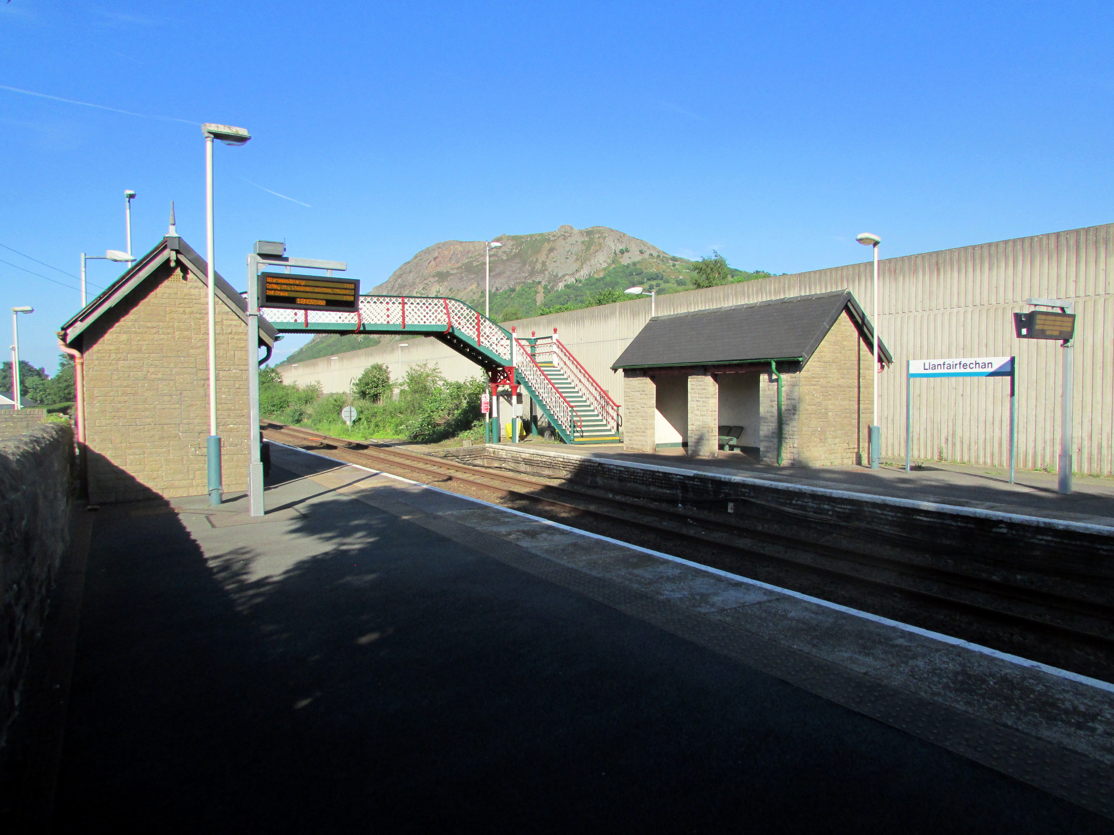
Llanfairfechan railway station
Llanfairfechan railway station serves the town of Llanfairfechan, Wales, and is located on the Crewe to Holyhead North Wales Coast Line 51+1⁄4 miles (82...
Nearby Amenities
Located within 500m of 53.242036,-3.9833514Have you been to Llŷs-y-gwynt Covert?
Leave your review of Llŷs-y-gwynt Covert below (or comments, questions and feedback).