Gorddinog
Settlement in Caernarfonshire
Wales
Gorddinog
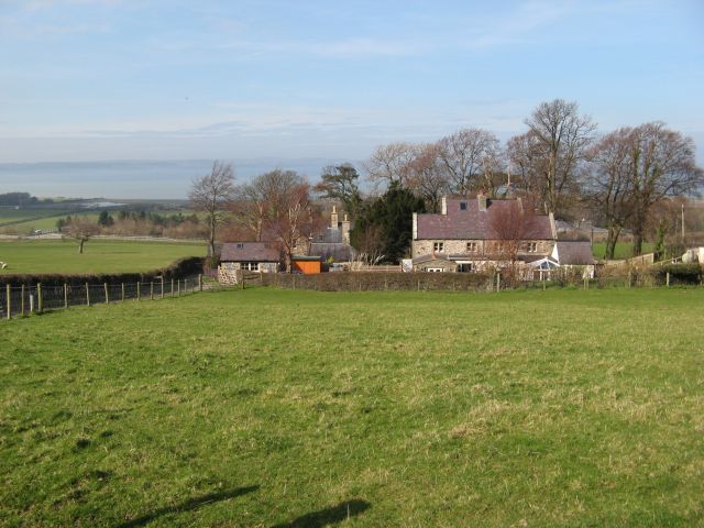
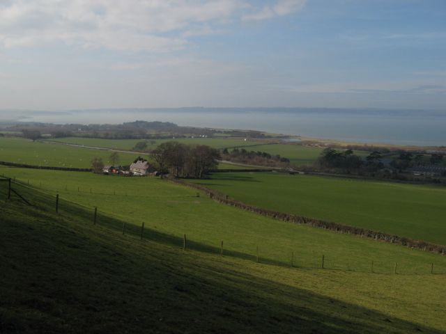
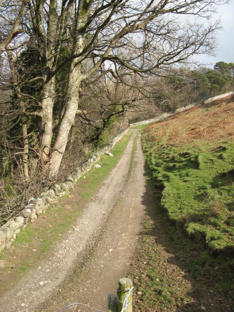
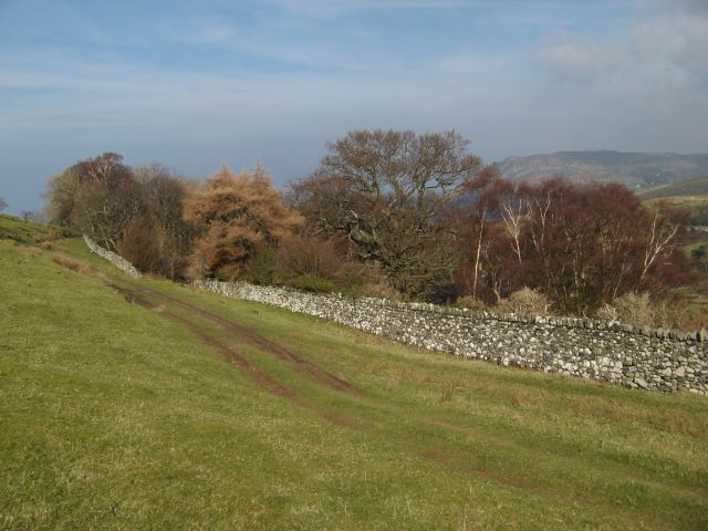
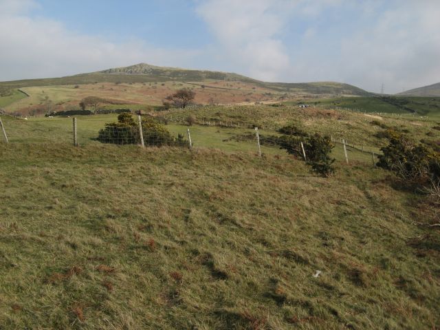
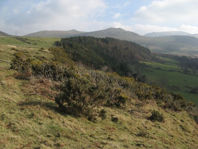
Gorddinog is a small rural village located in the historic county of Caernarfonshire, Wales. Situated in the heart of the beautiful Snowdonia National Park, the village is nestled within stunning natural surroundings, offering breathtaking views of the nearby mountains and lush green valleys.
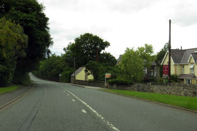
With a population of around 300 residents, Gorddinog is renowned for its tranquility and peaceful ambiance. The village is primarily residential, consisting of traditional stone-built houses, many of which have been well-preserved, showcasing the area's rich architectural heritage.
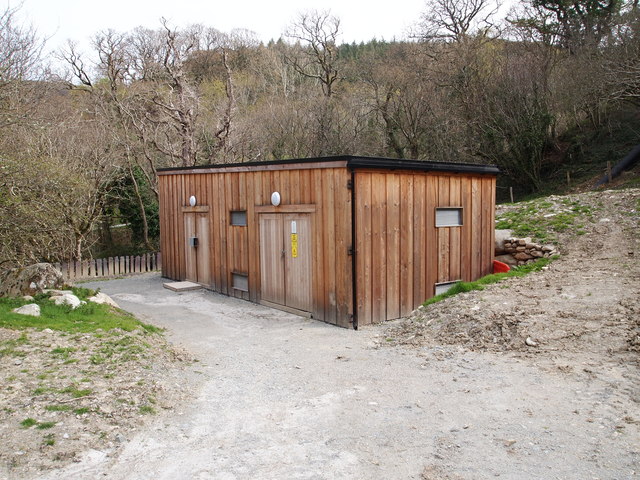
Despite its small size, Gorddinog boasts a strong community spirit, with various local events and gatherings taking place throughout the year. The village has a well-maintained community center that serves as a hub for social activities and provides a venue for local clubs and organizations.
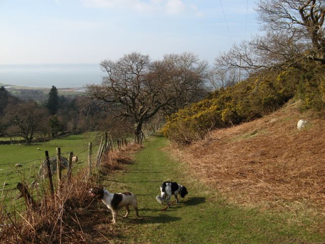
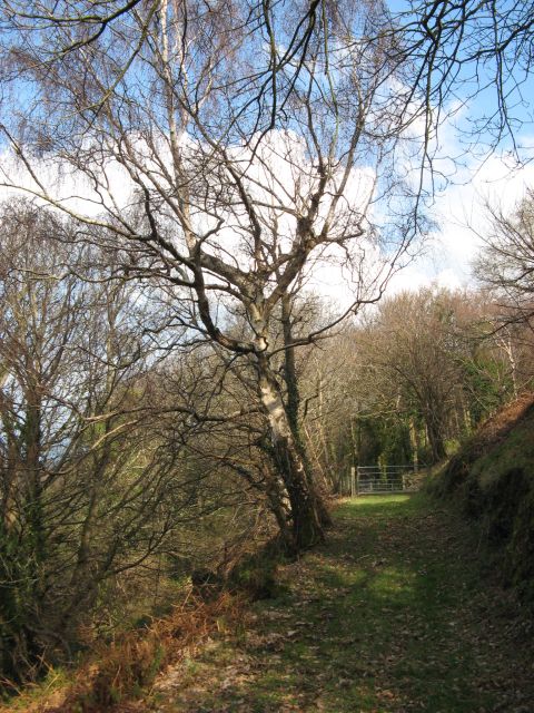
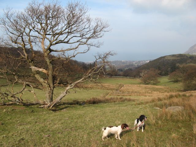
Gorddinog benefits from its proximity to the Snowdonia National Park, attracting outdoor enthusiasts who enjoy activities such as hiking, mountain biking, and fishing. The village also offers easy access to nearby attractions, including the historic town of Caernarfon with its majestic castle, as well as the popular tourist destination of Betws-y-Coed.
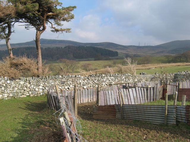
The local economy predominantly relies on agriculture, with many residents involved in farming and livestock rearing. However, there is a growing trend of residents embracing small-scale tourism ventures, such as bed and breakfast accommodations and holiday cottages, to cater to the increasing number of visitors drawn to the area's natural beauty.
Overall, Gorddinog offers a serene and picturesque setting, making it an ideal location for those seeking a peaceful countryside retreat or an outdoor adventure in the stunning Snowdonia region.
If you have any feedback on the listing, please let us know in the comments section below.
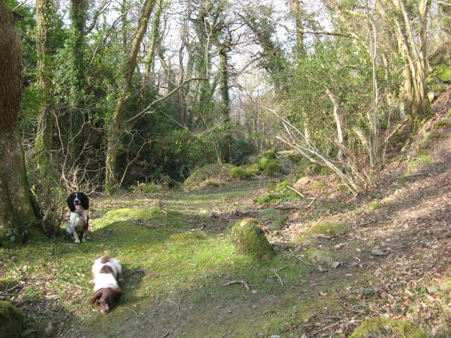
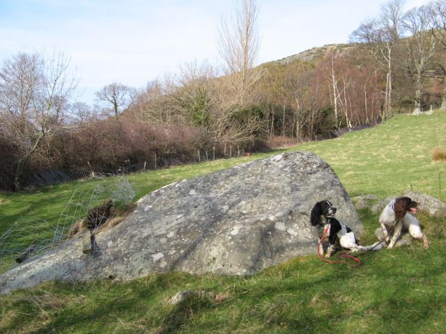
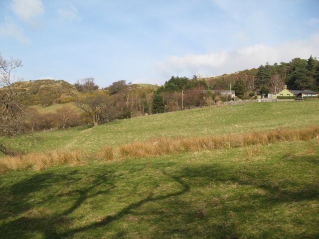
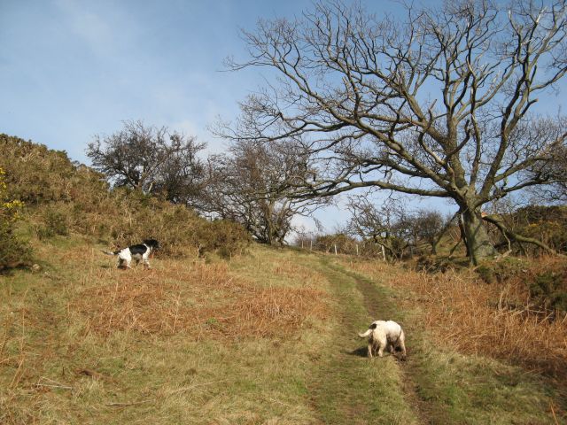
Gorddinog Images
Images are sourced within 2km of 53.237322/-3.9942674 or Grid Reference SH6773. Thanks to Geograph Open Source API. All images are credited.

Gorddinog is located at Grid Ref: SH6773 (Lat: 53.237322, Lng: -3.9942674)
Unitary Authority: Gwynedd
Police Authority: North Wales
What 3 Words
///blanking.torn.reflect. Near Aber, Gwynedd
Nearby Locations
Related Wikis

Pen y Bryn
Pen y Bryn is a two-storey manor house, in Abergwyngregyn, Gwynedd, in north-west Wales, adjacent to the A55, five miles east of Bangor and eight miles...

Anafon River
The Anafon River, or Afon Anafon, is a river in Gwynedd, Wales, that flows into the Afon Aber. It originates on the slopes of Foel-fras and the Drum of...
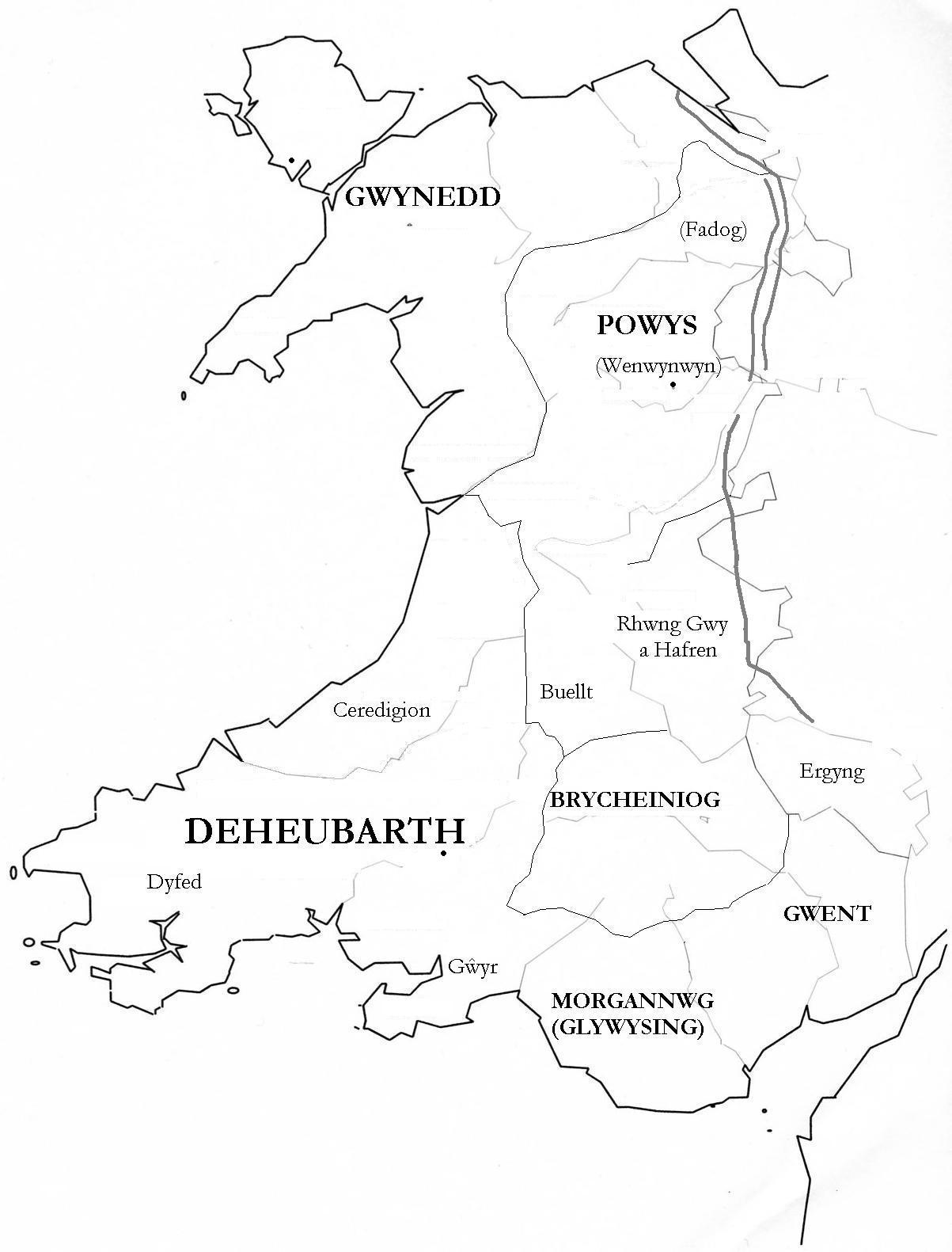
Kingdom of Ceredigion
The Kingdom of Ceredigion was one of several Welsh kingdoms that emerged in post-Roman Britain in the mid-5th century. Cardigan Bay to the west and the...

Powys Wenwynwyn
Powys Wenwynwyn or Powys Cyfeiliog was a Welsh kingdom which existed during the high Middle Ages. The realm was the southern portion of the former princely...
Nearby Amenities
Located within 500m of 53.237322,-3.9942674Have you been to Gorddinog?
Leave your review of Gorddinog below (or comments, questions and feedback).