Coed Dolgamlyn

Wood, Forest in Cardiganshire

Wales

Coed Dolgamlyn

Pretty in pink! Tafarn y Maes, Capel Bangor.
Pretty in pink! Credit: Eirian Evans

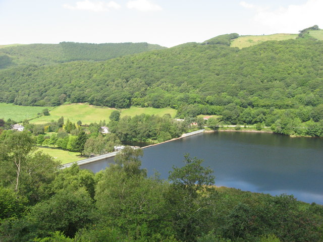
Coed Dolgamlyn is a picturesque woodland located in Cardiganshire, Wales. Covering an area of approximately 100 acres, the forest is nestled within the beautiful countryside and offers a tranquil retreat for nature lovers and outdoor enthusiasts alike.

The woodland is known for its diverse range of tree species, including oak, beech, ash, and birch. These tall and majestic trees create a dense canopy that provides shade and shelter for a variety of wildlife. Visitors can expect to see a plethora of bird species, such as woodpeckers, jays, and thrushes, as well as small mammals like squirrels and hedgehogs.

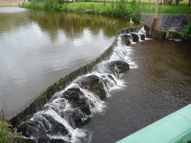
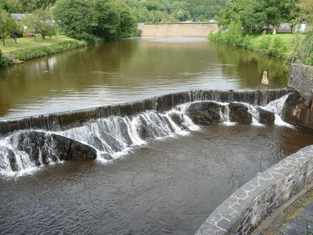
A network of well-maintained footpaths winds through Coed Dolgamlyn, allowing visitors to explore the forest at their own pace. These paths lead to hidden gems within the woodland, including a picturesque stream and a small waterfall that adds to the area's natural beauty.

For those looking to immerse themselves in the peaceful surroundings, Coed Dolgamlyn offers several picnic areas where visitors can enjoy a packed lunch while listening to the soothing sounds of nature. The forest is also a popular spot for outdoor activities such as hiking, birdwatching, and photography.

Coed Dolgamlyn is easily accessible, with a car park located near the entrance, making it a convenient destination for day trips or longer stays. Its idyllic setting and rich biodiversity make it a must-visit destination for anyone seeking solace in the heart of nature.

If you have any feedback on the listing, please let us know in the comments section below.

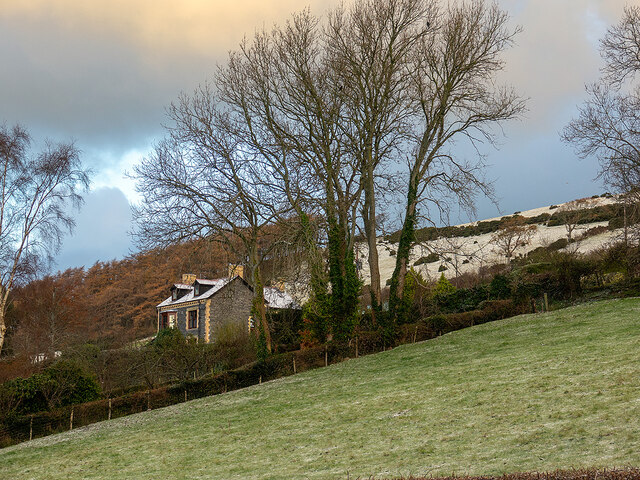
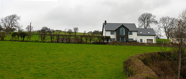
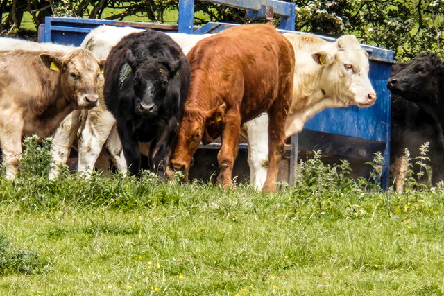
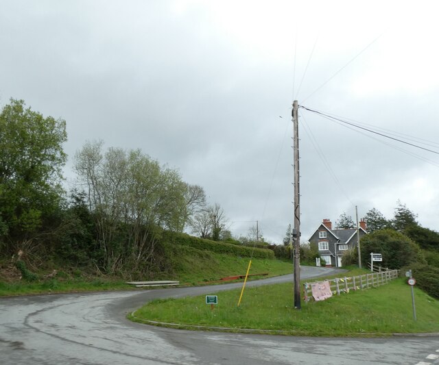
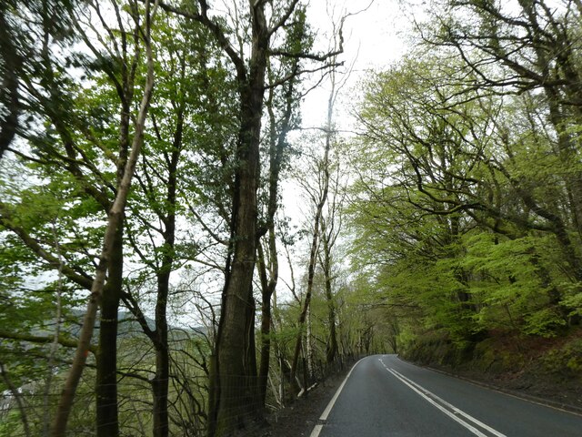
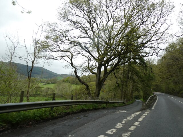
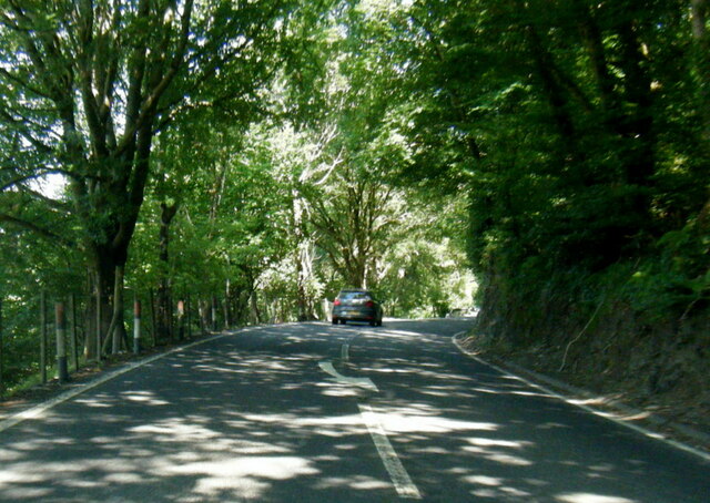
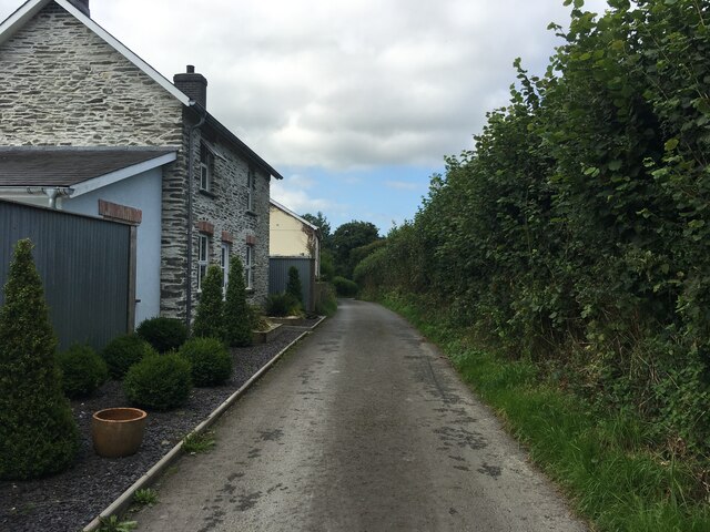
Coed Dolgamlyn Images

Images are sourced within 2km of 52.396542/-3.944916 or Grid Reference SN6779. Thanks to Geograph Open Source API. All images are credited.

Pretty in pink! Tafarn y Maes, Capel Bangor.
Pretty in pink!
Tafarn y Maes, Capel Bangor.
Allt Ty-cam [hill] With Neuadd Parc Farm visible, bottom left. Viewed from Aberffrwd.
Allt Ty-cam [hill]
With Neuadd Parc Farm visible, bottom left. Viewed from Aberffrwd.
Relaxing at the Fron Young bulls, possibly steers, relaxing in the field at Fron Farm, Capel Bangor.
Relaxing at the Fron
Young bulls, possibly steers, relaxing in the field at Fron Farm, Capel Bangor.
Hay bales advertising the National Eisteddfod The 2022 event was held at Tregaron, July 30 - 6 August.
Hay bales advertising the National Eisteddfod
The 2022 event was held at Tregaron, July 30 - 6 August.
House on the hill in Capel Bangor Caught in evening sunshine.
House on the hill in Capel Bangor
Caught in evening sunshine.
House on the Hill Swyn Rheidol, Capel Bangor. With a smattering of snow in the fields behind.
House on the Hill
Swyn Rheidol, Capel Bangor. With a smattering of snow in the fields behind.
New house at Fron Farm A self-build now almost complete.
New house at Fron Farm
A self-build now almost complete.
Bullocks at the Fron
Side road off A44 in Maes-bangor The A44 is a major road in the United Kingdom that runs for 155 miles from Oxford in southern England to Aberystwyth in west Wales.
<span class="nowrap"><a title="http://www.sabre-roads.org.uk/wiki/index.php?title=A44" rel="nofollow ugc noopener" href="http://www.sabre-roads.org.uk/wiki/index.php?title=A44">Link</a><img style="margin-left:2px;" alt="External link" title="External link - shift click to open in new window" src="https://s1.geograph.org.uk/img/external.png" width="10" height="10"/></span>  SABRE
<span class="nowrap"><a title="https://en.wikipedia.org/wiki/A44_road" rel="nofollow ugc noopener" href="https://en.wikipedia.org/wiki/A44_road">Link</a><img style="margin-left:2px;" alt="External link" title="External link - shift click to open in new window" src="https://s1.geograph.org.uk/img/external.png" width="10" height="10"/></span>  Wikipedia
Side road off A44 in Maes-bangor
The A44 is a major road in the United Kingdom that runs for 155 miles from Oxford in southern England to Aberystwyth in west Wales. LinkExternal link SABRE LinkExternal link Wikipedia
A44 in woodland west of Goginan The A44 is a major road in the United Kingdom that runs for 155 miles from Oxford in southern England to Aberystwyth in west Wales.
<span class="nowrap"><a title="http://www.sabre-roads.org.uk/wiki/index.php?title=A44" rel="nofollow ugc noopener" href="http://www.sabre-roads.org.uk/wiki/index.php?title=A44">Link</a><img style="margin-left:2px;" alt="External link" title="External link - shift click to open in new window" src="https://s1.geograph.org.uk/img/external.png" width="10" height="10"/></span>  SABRE
<span class="nowrap"><a title="https://en.wikipedia.org/wiki/A44_road" rel="nofollow ugc noopener" href="https://en.wikipedia.org/wiki/A44_road">Link</a><img style="margin-left:2px;" alt="External link" title="External link - shift click to open in new window" src="https://s1.geograph.org.uk/img/external.png" width="10" height="10"/></span>  Wikipedia
A44 in woodland west of Goginan
The A44 is a major road in the United Kingdom that runs for 155 miles from Oxford in southern England to Aberystwyth in west Wales. LinkExternal link SABRE LinkExternal link Wikipedia
This way to Penbryn and the valley; side road from A44 The A44 is a major road in the United Kingdom that runs for 155 miles from Oxford in southern England to Aberystwyth in west Wales.
<span class="nowrap"><a title="http://www.sabre-roads.org.uk/wiki/index.php?title=A44" rel="nofollow ugc noopener" href="http://www.sabre-roads.org.uk/wiki/index.php?title=A44">Link</a><img style="margin-left:2px;" alt="External link" title="External link - shift click to open in new window" src="https://s1.geograph.org.uk/img/external.png" width="10" height="10"/></span>  SABRE
<span class="nowrap"><a title="https://en.wikipedia.org/wiki/A44_road" rel="nofollow ugc noopener" href="https://en.wikipedia.org/wiki/A44_road">Link</a><img style="margin-left:2px;" alt="External link" title="External link - shift click to open in new window" src="https://s1.geograph.org.uk/img/external.png" width="10" height="10"/></span>  Wikipedia
This way to Penbryn and the valley; side road from A44
The A44 is a major road in the United Kingdom that runs for 155 miles from Oxford in southern England to Aberystwyth in west Wales. LinkExternal link SABRE LinkExternal link Wikipedia
A44 south of Penbryn Farm
Minor road near Dolypandy
Weir on the Afon Rheidol below Cwm Rheidol Reservoir Styled to look naturalistic, this weir looks very photogenic.
Weir on the Afon Rheidol below Cwm Rheidol Reservoir
Styled to look naturalistic, this weir looks very photogenic.
Weir and dam on the Afon Rheidol at Cwm Rheidol Reservoir All still very redolent of its 1960's heyday. Very nicely styled though, an uninformed visitor would hardly notice that it's all part of a man-made reservoir with powerstation etc.
Weir and dam on the Afon Rheidol at Cwm Rheidol Reservoir
All still very redolent of its 1960's heyday. Very nicely styled though, an uninformed visitor would hardly notice that it's all part of a man-made reservoir with powerstation etc.
View towards Cwm Rheidol Reservoir dam As viewed from the Vale of Rheidol Railway.
View towards Cwm Rheidol Reservoir dam
As viewed from the Vale of Rheidol Railway.
Vale of Rheidol Railway: Aberffrwd
Vale of Rheidol Railway: taking on water at Nantyronen
Show me another place!

Coed Dolgamlyn is located at Grid Ref: SN6779 (Lat: 52.396542, Lng: -3.944916)

Unitary Authority: Ceredigion

Police Authority: Dyfed Powys

What 3 Words

///enhanced.dunk.dried. Near Llanilar, Ceredigion

Related Wikis

Melindwr

Melindwr is a community in the county of Ceredigion, Wales, to the east of Aberystwyth and is 71.6 miles (115.1 km) from Cardiff and 173.8 miles (279.7...

Afon Rheidol

The Afon Rheidol ("river Rheidol") (Welsh pronunciation: [ˈr̥ei̯dɔl]) is a river in Ceredigion, Wales, 19 miles (31 km) in length. The source is Plynlimon...

Aberffrwd, Ceredigion

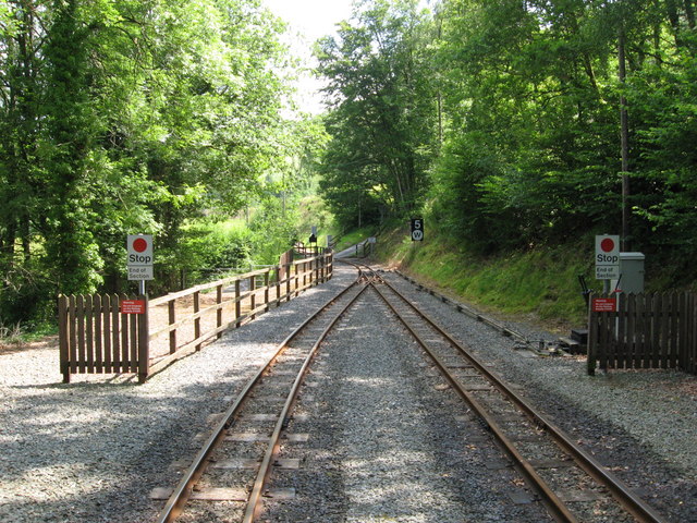
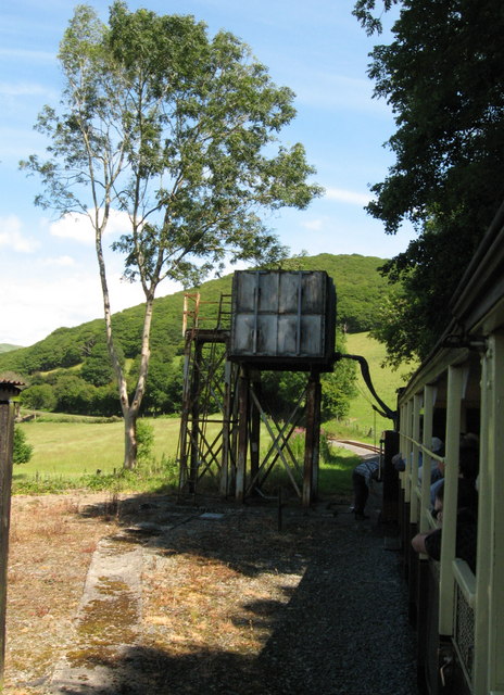
Aberffrwd is a village in the Welsh principal area of Ceredigion. It has a railway station on the narrow-gauge Vale of Rheidol Railway, which was operated...

Aberffrwd railway station

Aberffrwd railway station is a railway station serving Aberffrwd in Ceredigion in Mid-Wales, and is an intermediate stop on the preserved Vale of Rheidol...

Nantyronen railway station

Nantyronen railway station is a railway station serving Nantyronen in Ceredigion in Mid-Wales. It is an intermediate station and request stop on the preserved...

Capel Bangor

Capel Bangor (Welsh: Penllwyn) is a small village in Ceredigion, Wales, approximately 5 miles (8.0 km) east of Aberystwyth. The A44 road and the seasonal...

Pisgah, Ceredigion

Pisgah, Ceredigion is a hamlet in the community of Melindwr, Ceredigion, Wales, which is 70.2 miles (113 km) from Cardiff and 173.3 miles (278.8 km) from...

Maes-bangor

Maes-bangor is a hamlet in the community of Melindwr, Ceredigion, Wales, which is 72.2 miles (116.1 km) from Cardiff and 174.9 miles (281.4 km) from London...

Nearby Amenities

Located within 500m of 52.396542,-3.944916
Source: npe
Lat/Long: 52.3944934/-3.9413667
Source: npe
Lat/Long: 52.3949935/-3.9403697
Source: npe
Lat/Long: 52.3942471/-3.9389535
Material: steel
Power: pole
Lat/Long: 52.3938332/-3.9480885
Material: wood
Power: pole
Lat/Long: 52.3944944/-3.9463666
Material: wood
Power: pole
Lat/Long: 52.3954142/-3.9438882
Power: pole
Lat/Long: 52.3967825/-3.9402136
Material: wood
Power: pole
Lat/Long: 52.3964879/-3.9410397
Material: wood
Power: pole
Lat/Long: 52.3961868/-3.9418658
Material: wood
Power: pole
Lat/Long: 52.392874/-3.9486196
Power: pole
Source: bing
Lat/Long: 52.4001179/-3.9429921
Power: pole
Source: bing
Lat/Long: 52.3986712/-3.948834
Power: pole
Source: bing
Lat/Long: 52.400419/-3.9416134
Power: pole
Source: bing
Lat/Long: 52.3982555/-3.9501268
Power: pole
Source: bing
Lat/Long: 52.3992342/-3.9467526
Power: pole
Source: bing
Lat/Long: 52.3979805/-3.9510548
Power: pole
Source: bing
Lat/Long: 52.3990312/-3.9476377
Power: pole
Source: bing
Lat/Long: 52.3976827/-3.9520097
Power: pole
Source: bing
Lat/Long: 52.3998364/-3.9442045
Power: pole
Source: bing
Lat/Long: 52.3995353/-3.945508
Post Box
Ref: SY23 178
Lat/Long: 52.394749/-3.9414486
Place: farm
Lat/Long: 52.3943933/-3.9448829
The data included in this document is from www.openstreetmap.org. The data is made available under ODbL.

Have you been to Coed Dolgamlyn?

Leave your review of Coed Dolgamlyn below (or comments, questions and feedback).