Pant Da Wood
Wood, Forest in Cardiganshire
Wales
Pant Da Wood
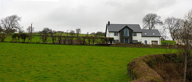
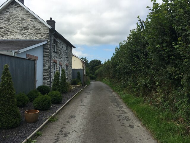
Pant Da Wood is a beautiful forest located in Cardiganshire, a county in Wales, United Kingdom. Covering an area of approximately 100 acres, the wood is known for its stunning natural beauty and diverse range of wildlife.
The forest is composed of a mix of deciduous and coniferous trees, including oak, beech, pine, and spruce. The lush greenery provides a picturesque backdrop, especially during the spring and summer months when the forest is in full bloom. A network of well-maintained trails allows visitors to explore the wood and enjoy its tranquil atmosphere.
Pant Da Wood is home to a variety of wildlife species, making it a haven for nature enthusiasts. Birdwatchers can spot numerous species, including woodpeckers, owls, and various songbirds. Mammals such as badgers, foxes, and deer are also frequently sighted within the forest.
The wood has a rich history, with evidence of human activity dating back thousands of years. Archaeological sites and ancient ruins can be found throughout the area, adding an element of intrigue to the natural surroundings.
The forest is a popular destination for outdoor activities such as hiking, picnicking, and nature photography. It offers a peaceful retreat for those seeking to escape the hustle and bustle of everyday life.
In conclusion, Pant Da Wood in Cardiganshire is a captivating forest that boasts a diverse range of flora and fauna. Its scenic beauty and historical significance make it a must-visit destination for nature lovers and history enthusiasts alike.
If you have any feedback on the listing, please let us know in the comments section below.
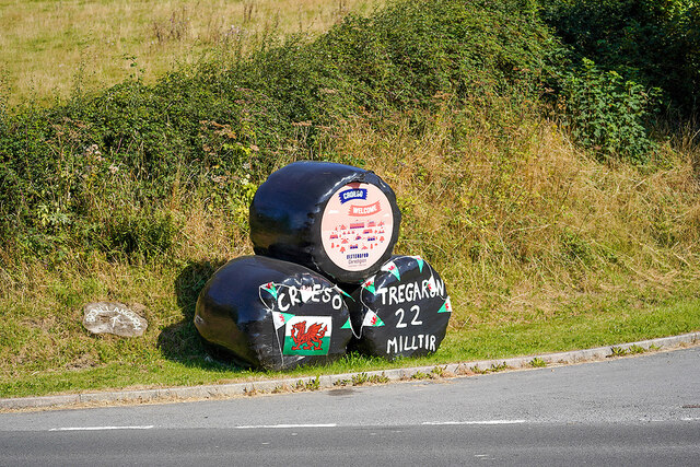
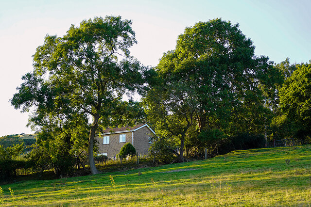
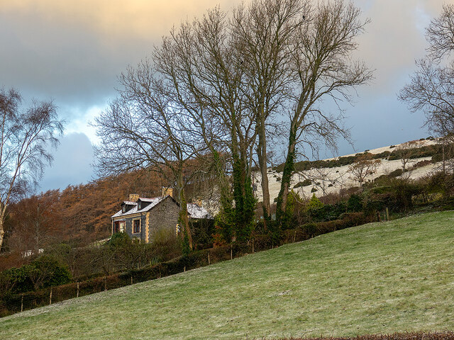
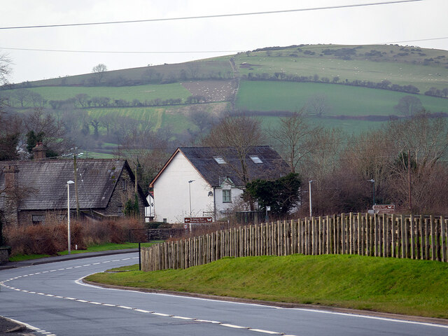
Pant Da Wood Images
Images are sourced within 2km of 52.393661/-3.9527994 or Grid Reference SN6779. Thanks to Geograph Open Source API. All images are credited.
![Allt Ty-cam [hill] With Neuadd Parc Farm visible, bottom left. Viewed from Aberffrwd.](https://s0.geograph.org.uk/geophotos/07/15/30/7153040_c11e42e7.jpg)


Pant Da Wood is located at Grid Ref: SN6779 (Lat: 52.393661, Lng: -3.9527994)
Unitary Authority: Ceredigion
Police Authority: Dyfed Powys
What 3 Words
///handwriting.corrode.envelope. Near Llanilar, Ceredigion
Nearby Locations
Related Wikis

Afon Rheidol
The Afon Rheidol ("river Rheidol") (Welsh pronunciation: [ˈr̥ei̯dɔl]) is a river in Ceredigion, Wales, 19 miles (31 km) in length. The source is Plynlimon...

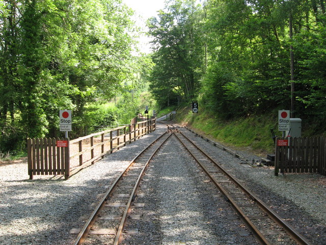
Nantyronen railway station
Nantyronen railway station is a railway station serving Nantyronen in Ceredigion in Mid-Wales. It is an intermediate station and request stop on the preserved...

Melindwr
Melindwr is a community in the county of Ceredigion, Wales, to the east of Aberystwyth and is 71.6 miles (115.1 km) from Cardiff and 173.8 miles (279.7...

Capel Bangor
Capel Bangor (Welsh: Penllwyn) is a small village in Ceredigion, Wales, approximately 5 miles (8.0 km) east of Aberystwyth. The A44 road and the seasonal...

Pisgah, Ceredigion
Pisgah, Ceredigion is a hamlet in the community of Melindwr, Ceredigion, Wales, which is 70.2 miles (113 km) from Cardiff and 173.3 miles (278.8 km) from...

Aberffrwd, Ceredigion
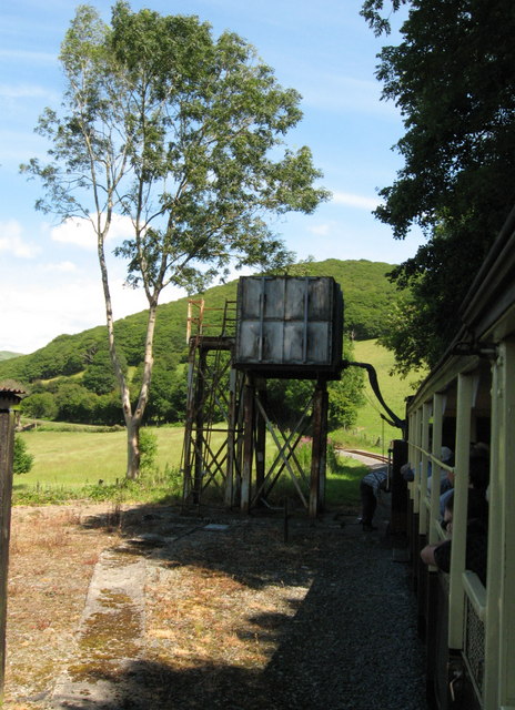
Aberffrwd is a village in the Welsh principal area of Ceredigion. It has a railway station on the narrow-gauge Vale of Rheidol Railway, which was operated...
Dol-y-pandy
Dol-y-pandy is a hamlet in the community of Melindwr, Ceredigion, Wales, which is 72.1 miles (116 km) from Cardiff and 174.9 miles (281.5 km) from London...

Aberffrwd railway station
Aberffrwd railway station is a railway station serving Aberffrwd in Ceredigion in Mid-Wales, and is an intermediate stop on the preserved Vale of Rheidol...
Nearby Amenities
Located within 500m of 52.393661,-3.9527994Have you been to Pant Da Wood?
Leave your review of Pant Da Wood below (or comments, questions and feedback).