Coed y Wenffrwd

Wood, Forest in Cardiganshire

Wales

Coed y Wenffrwd

Dyfi Furnace
Dyfi Furnace Credit: John H Darch

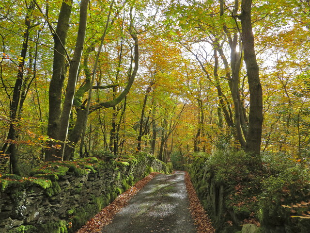
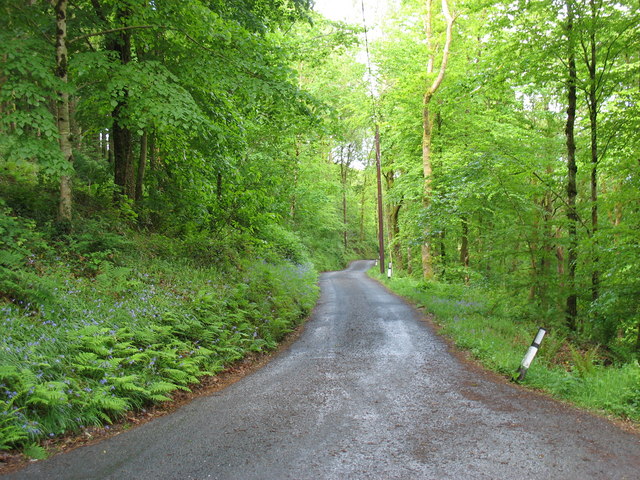
Coed y Wenffrwd is a picturesque forest located in Cardiganshire, Wales. Covering an area of approximately 500 acres, it is known for its stunning natural beauty and diverse wildlife. The name "Coed y Wenffrwd" translates to "Wood, Forest" in English, which aptly describes the area's lush greenery and dense woodland.

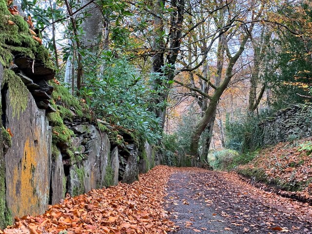
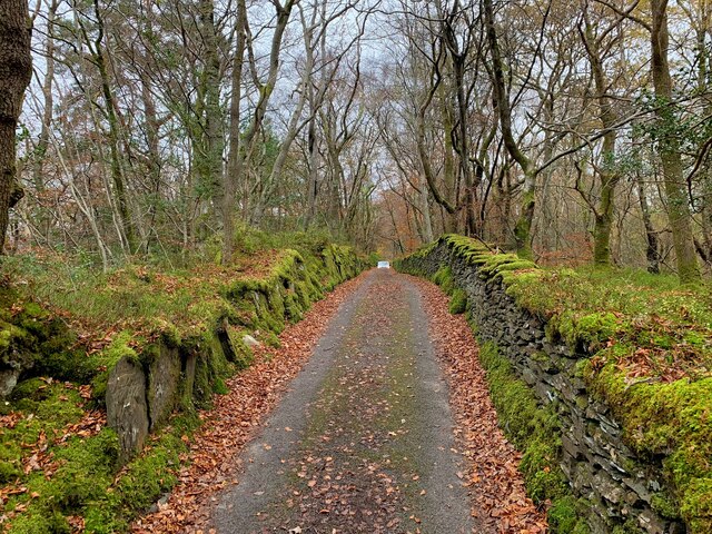
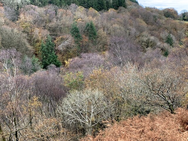
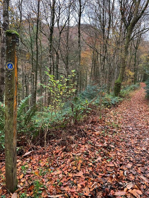
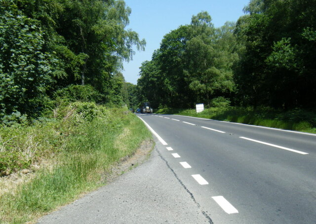
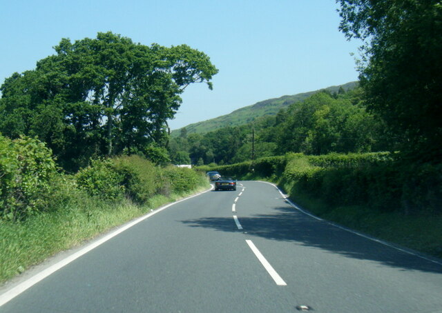
The forest is characterized by a mix of deciduous and coniferous trees, creating a unique and enchanting atmosphere. Visitors can explore the well-maintained trails that wind through the forest, offering opportunities for walking, hiking, and birdwatching.

Coed y Wenffrwd is home to a rich variety of plant and animal species. Rare and protected species, such as red kites and pine martens, can be spotted within the forest. Additionally, the area boasts a diverse range of flora, including bluebells, foxgloves, and ferns.

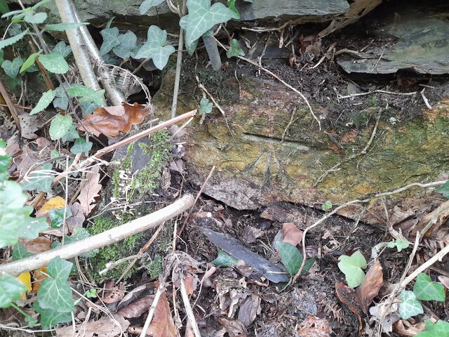
The forest is also of historical and cultural significance. It is believed to have ancient origins, with remnants of ancient settlements and burial mounds found in the surrounding area. The forest has been used by local communities for centuries, providing timber for construction and fuel.

Coed y Wenffrwd offers a tranquil and serene escape from the hustle and bustle of everyday life. Whether it is a leisurely stroll through the captivating woodland or a chance to connect with nature, this forest is a must-visit destination for nature enthusiasts and history lovers alike.

If you have any feedback on the listing, please let us know in the comments section below.

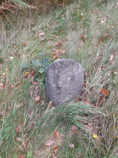
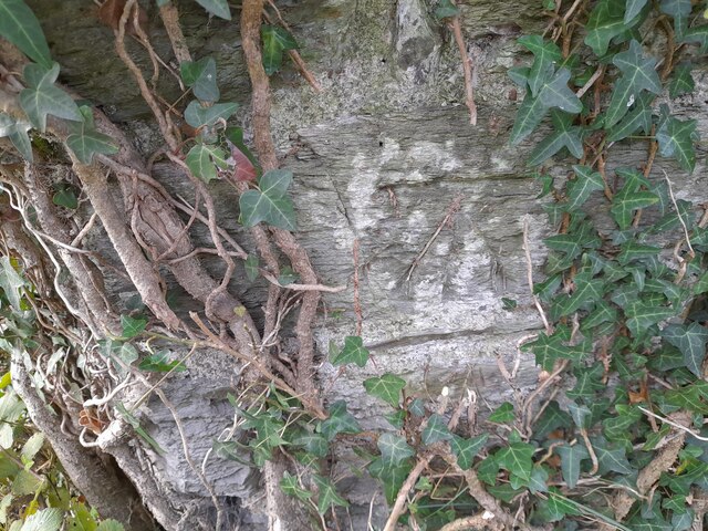
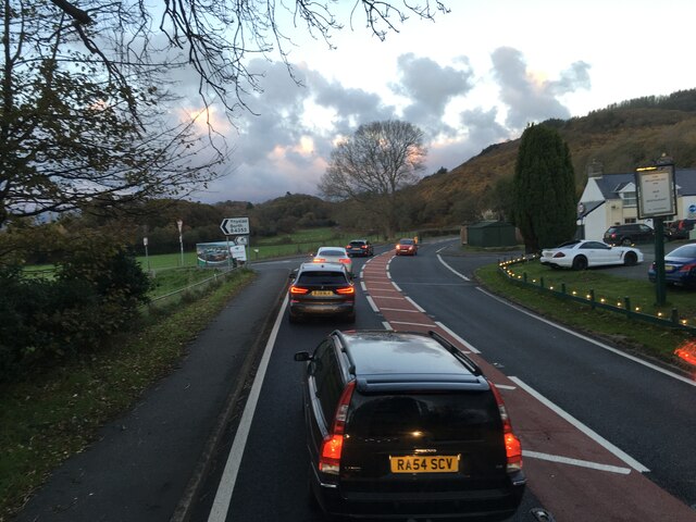
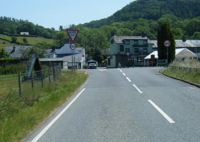
Coed y Wenffrwd Images

Images are sourced within 2km of 52.525495/-3.9585553 or Grid Reference SN6793. Thanks to Geograph Open Source API. All images are credited.

Dyfi Furnace
Dyfi Furnace
Lôn uwchben Ffwrnais The lane above Furnace through the woods.
Lôn uwchben Ffwrnais
The lane above Furnace through the woods.
Wal y lôn, Ffwrnais / Lane wall, Furnace
Lôn uwchben Ffwrnais / Lane above Furnace In the last of the autumn colours.
Lôn uwchben Ffwrnais / Lane above Furnace
In the last of the autumn colours.
Yr olaf o liwiau'r hydref / Last of the autumn colours Along Cwm Einion, above Ffwrnais/Furnace village.
Yr olaf o liwiau'r hydref / Last of the autumn colours
Along Cwm Einion, above Ffwrnais/Furnace village.
Wales Coast(less) Path, Cwm Einion Because there's no bridging point of the Dyfi lower than Machynlleth, the coast path has to veer a long way inland. It's a glorious route, all the same, but don't bring a bucket and spade.
Wales Coast(less) Path, Cwm Einion
Because there's no bridging point of the Dyfi lower than Machynlleth, the coast path has to veer a long way inland. It's a glorious route, all the same, but don't bring a bucket and spade.
Soar Wesleyan Methodist Chapel - yr Hen Gapel Built in the early 1800's, it was converted to a Sunday School in 1877.
Soar Wesleyan Methodist Chapel - yr Hen Gapel
Built in the early 1800's, it was converted to a Sunday School in 1877.
Ordnance Survey Cut Mark This OS cut mark can be found on the wall west side of the road. It marks a point 41.319m above mean sea level.
Ordnance Survey Cut Mark
This OS cut mark can be found on the wall west side of the road. It marks a point 41.319m above mean sea level.
Milestone - Aberystwyth 10 Badly damaged milestone east side of road.
Milestone - Aberystwyth 10
Badly damaged milestone east side of road.
Ordnance Survey Cut Mark This OS cut mark can be found on the wall post NW side of the road. It marks a point 23.284m above mean sea level.
Ordnance Survey Cut Mark
This OS cut mark can be found on the wall post NW side of the road. It marks a point 23.284m above mean sea level.
Junctions on the A487 at Tre’r-Ddol
B4353 at the A487 junction
A487 in The Park woodland
A487 near Coed y Fedw
A487 at Furnace village boundary
Rhaeadr yr Afon Einion, Ffwrnais At the top of the Furnace waterfall, looking down it and the Afon Einion towards the A487 bridge. The furnace building itself is behind the rock top left. The old leat running to the waterwheel there can be seen, with a sluice gate in front of it.
Rhaeadr yr Afon Einion, Ffwrnais
At the top of the Furnace waterfall, looking down it and the Afon Einion towards the A487 bridge. The furnace building itself is behind the rock top left. The old leat running to the waterwheel there can be seen, with a sluice gate in front of it.
The road into Cwm Einion
Dyfi Furnace at Furnace This structure was an iron furnace built in 1755 and in production until 1810. It then became a sawmill. It is now under the protection of Cadw.
Dyfi Furnace at Furnace
This structure was an iron furnace built in 1755 and in production until 1810. It then became a sawmill. It is now under the protection of Cadw.
Show me another place!

Coed y Wenffrwd is located at Grid Ref: SN6793 (Lat: 52.525495, Lng: -3.9585553)

Unitary Authority: Ceredigion

Police Authority: Dyfed Powys

What 3 Words

///fuses.obviously.shameless. Near Borth, Ceredigion

Related Wikis

Coed y Garth, Ceredigion

Coed y Garth is a small village in the community of Ysgubor-y-coed, Ceredigion, Wales, which is 79.7 miles (128.2 km) from Cardiff and 176.9 miles (284...
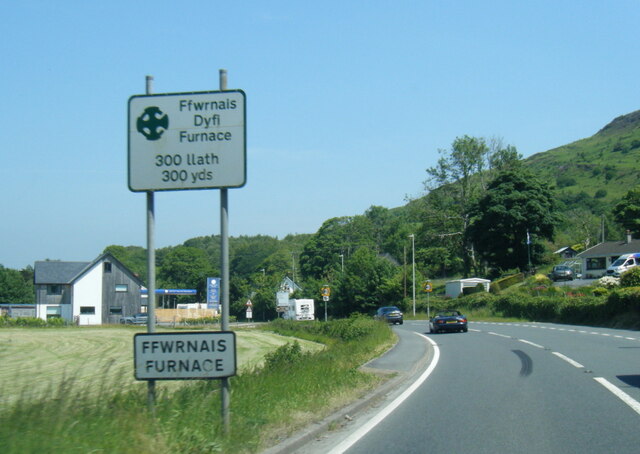
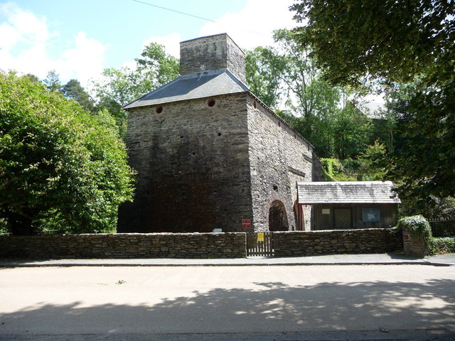
Furnace, Ceredigion

Furnace (Welsh: Ffwrnais) is a hamlet in Ceredigion, Wales on the A487 trunk road from Machynlleth to Aberystwyth, near Eglwysfach. It is the location...
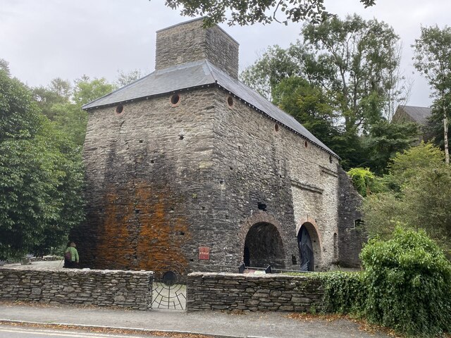
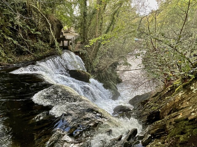
Dyfi Furnace

Dyfi Furnace is a restored mid 18th century charcoal fired blast furnace used for smelting iron ore. It has given its name to the adjoining hamlet of Furnace...

Craig-y-penrhyn

Craig-y-penrhyn is a hamlet in the community of Llangynfelyn, Ceredigion, Wales, which is 79.3 miles (127.7 km) from Cardiff and 178.1 miles (286.6 km...

Coed Cwm Clettwr

Coed Cwm Clettwr is a Site of Special Scientific Interest in Ceredigion, west Wales. It is designated for mature broadleaf woodland.The alternative spelling...

Llangynfelyn

Llangynfelyn is both a parish and a community in Ceredigion, Wales, midway between Aberystwyth and Machynlleth. It stretches from the Leri estuary in...

Coed Cwm Einion

Coed Cwm Einion is a woodland to the east of the village of Furnace, in Ceredigion, west Wales. It is designated a Site of Special Scientific Interest...

Eglwys Fach

Eglwys Fach, also known as Eglwys-fach or Eglwysfach, is a small village, roughly 12 miles (19 km) outside of Aberystwyth, Ceredigion. It is known for...

Nearby Amenities

Located within 500m of 52.525495,-3.9585553
Parking
Parking: surface
Lat/Long: 52.5278297/-3.9632072
Building: yes
Lat/Long: 52.5277521/-3.953808
Building: yes
Lat/Long: 52.5289792/-3.9555031
Power: pole
Lat/Long: 52.5293958/-3.9551693
Barrier: kissing_gate
Lat/Long: 52.5260013/-3.9549486
Barrier: kissing_gate
Lat/Long: 52.5268277/-3.9526954
The data included in this document is from www.openstreetmap.org. The data is made available under ODbL.

Have you been to Coed y Wenffrwd?

Leave your review of Coed y Wenffrwd below (or comments, questions and feedback).