Coed Cefn-gweirog

Wood, Forest in Cardiganshire

Wales

Coed Cefn-gweirog

Dyfi Furnace
Dyfi Furnace Credit: John H Darch

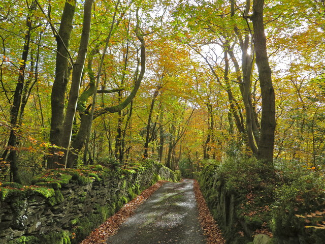
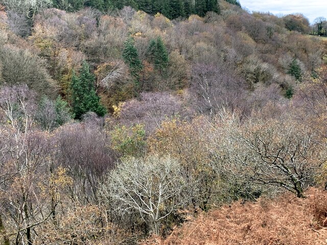
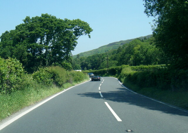
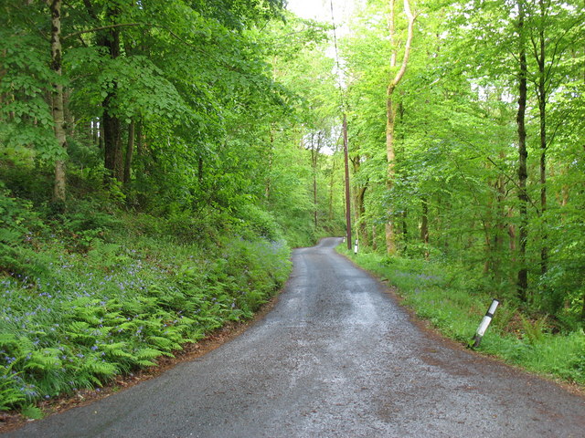
Coed Cefn-gweirog, located in Cardiganshire, Wales, is a picturesque wood or forest known for its tranquil beauty and diverse ecosystem. Covering an area of approximately 500 acres, it is a popular destination for nature lovers and outdoor enthusiasts.

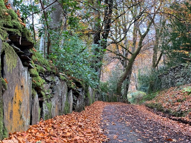
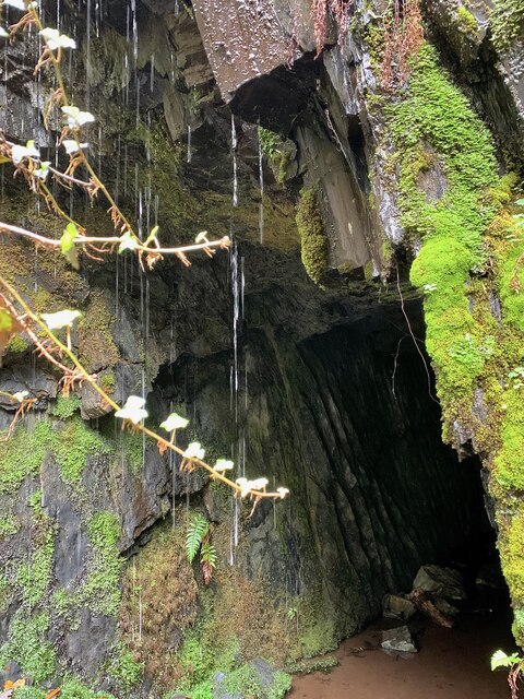
The wood is predominantly composed of native tree species, including oak, beech, and ash, creating a stunning canopy that provides shade and shelter for a wide variety of flora and fauna. The forest floor is adorned with a rich carpet of mosses, ferns, and wildflowers, adding to its enchanting ambiance.

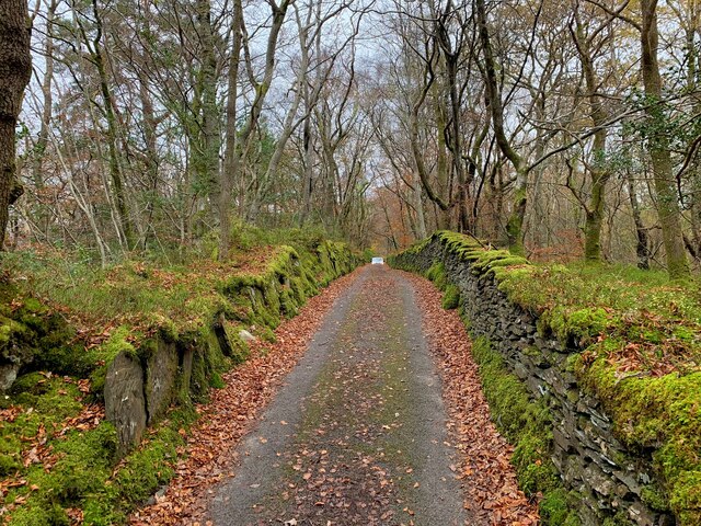
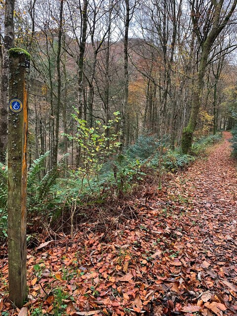
Coed Cefn-gweirog is home to several walking trails, allowing visitors to explore the wood's natural wonders at their own pace. These well-maintained paths meander through the forest, offering glimpses of resident wildlife such as squirrels, badgers, and a colorful array of bird species.

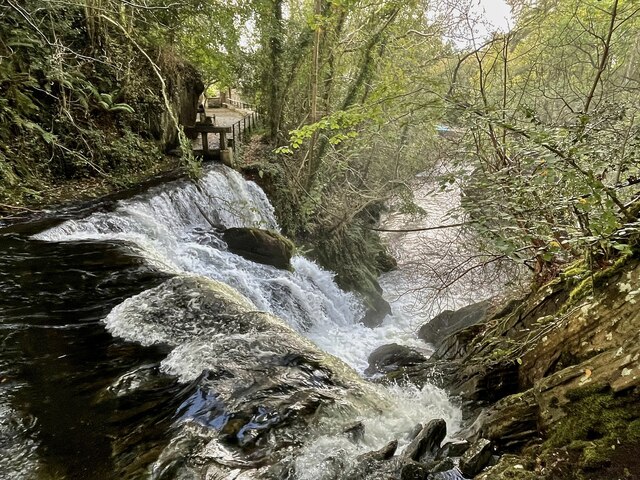
The wood also boasts a small river that meanders through its heart, providing a serene spot for picnics or simply enjoying the soothing sound of flowing water. The river is home to various aquatic creatures, including trout and small fish, further enhancing the biodiversity of the area.

Coed Cefn-gweirog is a designated Site of Special Scientific Interest (SSSI) due to its ecological significance. It plays a vital role in preserving and protecting the local biodiversity and serves as an important habitat for many rare and endangered species.

In summary, Coed Cefn-gweirog is a captivating wood nestled in Cardiganshire, offering visitors an opportunity to immerse themselves in nature's beauty. With its diverse tree species, thriving wildlife, and serene atmosphere, it is a haven for those seeking solace and a deeper connection with the natural world.

If you have any feedback on the listing, please let us know in the comments section below.

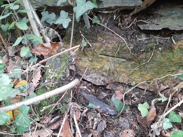
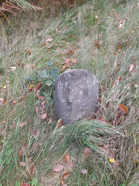
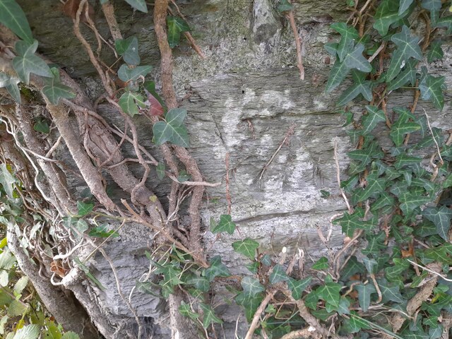
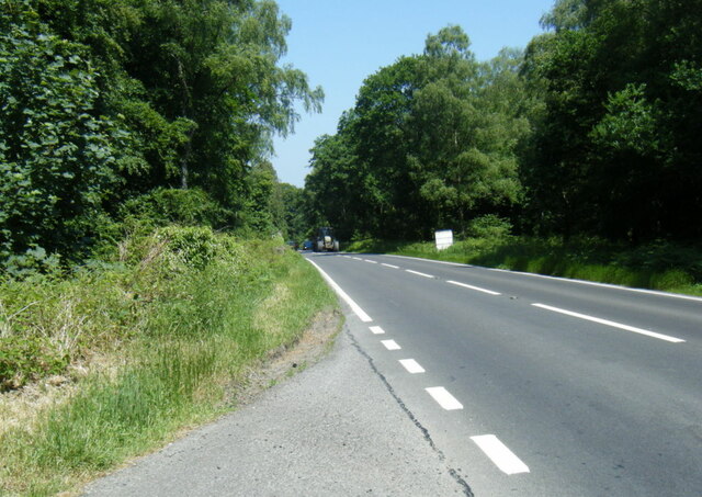
Coed Cefn-gweirog Images

Images are sourced within 2km of 52.524798/-3.9523477 or Grid Reference SN6793. Thanks to Geograph Open Source API. All images are credited.

Dyfi Furnace
Dyfi Furnace
Lôn uwchben Ffwrnais The lane above Furnace through the woods.
Lôn uwchben Ffwrnais
The lane above Furnace through the woods.
Bwlcheinion Sea View Arwydd ar A487 yn Ffwrnais / Sign on the A487 in Furnace.
Bwlcheinion Sea View
Arwydd ar A487 yn Ffwrnais / Sign on the A487 in Furnace.
Wal y lôn, Ffwrnais / Lane wall, Furnace
Lôn uwchben Ffwrnais / Lane above Furnace In the last of the autumn colours.
Lôn uwchben Ffwrnais / Lane above Furnace
In the last of the autumn colours.
Mine adit, in the woods near Furnace In the woods above the rushing Afon Einion are plenty of remnants of the area's industrial age. In the C19, silver, lead, copper and zinc were all mined in the valley.
Mine adit, in the woods near Furnace
In the woods above the rushing Afon Einion are plenty of remnants of the area's industrial age. In the C19, silver, lead, copper and zinc were all mined in the valley.
Yr olaf o liwiau'r hydref / Last of the autumn colours Along Cwm Einion, above Ffwrnais/Furnace village.
Yr olaf o liwiau'r hydref / Last of the autumn colours
Along Cwm Einion, above Ffwrnais/Furnace village.
Wales Coast(less) Path, Cwm Einion Because there's no bridging point of the Dyfi lower than Machynlleth, the coast path has to veer a long way inland. It's a glorious route, all the same, but don't bring a bucket and spade.
Wales Coast(less) Path, Cwm Einion
Because there's no bridging point of the Dyfi lower than Machynlleth, the coast path has to veer a long way inland. It's a glorious route, all the same, but don't bring a bucket and spade.
Ordnance Survey Cut Mark This OS cut mark can be found on the wall west side of the road. It marks a point 41.319m above mean sea level.
Ordnance Survey Cut Mark
This OS cut mark can be found on the wall west side of the road. It marks a point 41.319m above mean sea level.
Milestone - Aberystwyth 10 Badly damaged milestone east side of road.
Milestone - Aberystwyth 10
Badly damaged milestone east side of road.
Ordnance Survey Cut Mark This OS cut mark can be found on the wall post NW side of the road. It marks a point 23.284m above mean sea level.
Ordnance Survey Cut Mark
This OS cut mark can be found on the wall post NW side of the road. It marks a point 23.284m above mean sea level.
A487 in The Park woodland
A487 near Coed y Fedw
A487 at Furnace village boundary
Rhaeadr yr Afon Einion, Ffwrnais At the top of the Furnace waterfall, looking down it and the Afon Einion towards the A487 bridge. The furnace building itself is behind the rock top left. The old leat running to the waterwheel there can be seen, with a sluice gate in front of it.
Rhaeadr yr Afon Einion, Ffwrnais
At the top of the Furnace waterfall, looking down it and the Afon Einion towards the A487 bridge. The furnace building itself is behind the rock top left. The old leat running to the waterwheel there can be seen, with a sluice gate in front of it.
Roadworks on the A487 towards Furnace
The road into Cwm Einion
Dyfi Furnace at Furnace This structure was an iron furnace built in 1755 and in production until 1810. It then became a sawmill. It is now under the protection of Cadw.
Dyfi Furnace at Furnace
This structure was an iron furnace built in 1755 and in production until 1810. It then became a sawmill. It is now under the protection of Cadw.
Show me another place!

Coed Cefn-gweirog is located at Grid Ref: SN6793 (Lat: 52.524798, Lng: -3.9523477)

Unitary Authority: Ceredigion

Police Authority: Dyfed Powys

What 3 Words

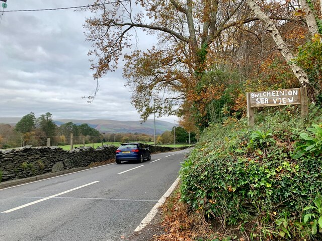
///bravery.hopefully.trainer. Near Borth, Ceredigion

Related Wikis

Coed y Garth, Ceredigion

Coed y Garth is a small village in the community of Ysgubor-y-coed, Ceredigion, Wales, which is 79.7 miles (128.2 km) from Cardiff and 176.9 miles (284...
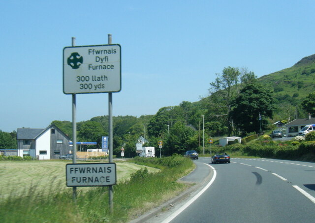
Furnace, Ceredigion

Furnace (Welsh: Ffwrnais) is a hamlet in Ceredigion, Wales on the A487 trunk road from Machynlleth to Aberystwyth, near Eglwysfach. It is the location...
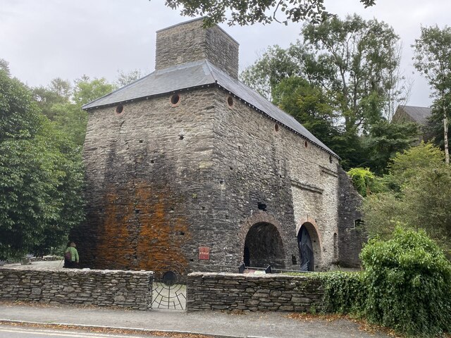
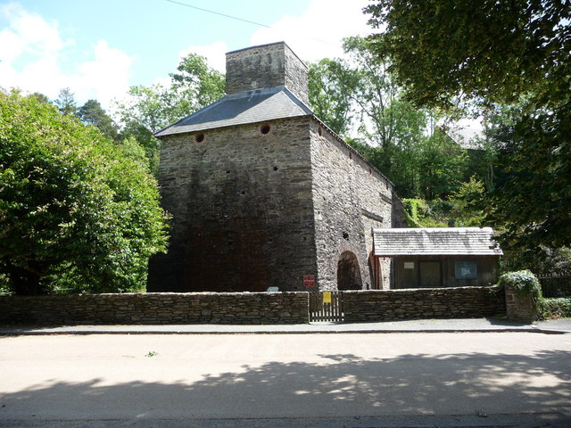
Dyfi Furnace

Dyfi Furnace is a restored mid 18th century charcoal fired blast furnace used for smelting iron ore. It has given its name to the adjoining hamlet of Furnace...

Coed Cwm Einion

Coed Cwm Einion is a woodland to the east of the village of Furnace, in Ceredigion, west Wales. It is designated a Site of Special Scientific Interest...

Nearby Amenities

Located within 500m of 52.524798,-3.9523477
Building: yes
Lat/Long: 52.5277521/-3.953808
Power: pole
Lat/Long: 52.5271097/-3.9465594
Power: pole
Lat/Long: 52.5243372/-3.9467338
Power: pole
Lat/Long: 52.5218908/-3.9484853
Power: pole
Lat/Long: 52.5210536/-3.9490485
Barrier: kissing_gate
Lat/Long: 52.5260013/-3.9549486
Barrier: kissing_gate
Lat/Long: 52.5268277/-3.9526954
Barrier: kissing_gate
Lat/Long: 52.5288794/-3.9497902
The data included in this document is from www.openstreetmap.org. The data is made available under ODbL.

Have you been to Coed Cefn-gweirog?

Leave your review of Coed Cefn-gweirog below (or comments, questions and feedback).