Coed Gwarfelin

Wood, Forest in Cardiganshire

Wales

Coed Gwarfelin

Posh Paws Dog grooming venture at Goginan
Posh Paws Credit: Eirian Evans

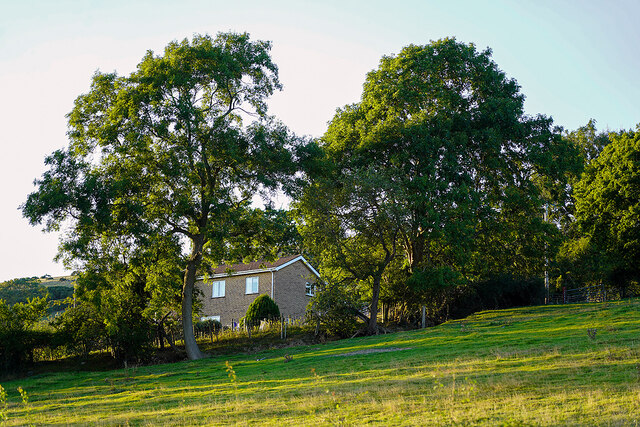
Coed Gwarfelin is a picturesque wood located in the county of Cardiganshire, Wales. Situated near the village of Tregaron, this enchanting forest covers an area of approximately 100 hectares and is a popular destination for nature lovers and outdoor enthusiasts.

The wood is predominantly composed of native tree species, such as oak, birch, and ash, which create a diverse and vibrant ecosystem. The dense foliage provides a haven for a wide variety of wildlife, including birds, mammals, and insects. It is not uncommon to spot red kites soaring above the treetops, or to hear the melodic songs of thrushes and warblers.

Several walking trails crisscross through Coed Gwarfelin, catering to visitors of all abilities. These paths lead visitors on a journey through the woodland, offering stunning views of the surrounding countryside and opportunities to observe the flora and fauna up close. The tranquility of the wood is further enhanced by the presence of a small stream that meanders through the forest, adding to its natural charm.

Coed Gwarfelin is not only a haven for wildlife, but also a place of historical interest. The wood is believed to have ancient origins, with remnants of prehistoric settlements and burial grounds found in the surrounding area. Exploring the wood can be a fascinating journey back in time, uncovering the secrets of its past.

Overall, Coed Gwarfelin is a captivating wood in Cardiganshire, offering visitors the chance to immerse themselves in the beauty of nature, discover its rich history, and experience a sense of serenity and tranquility.

If you have any feedback on the listing, please let us know in the comments section below.

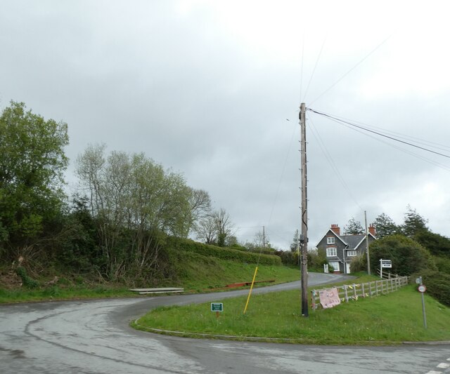
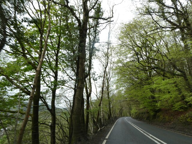
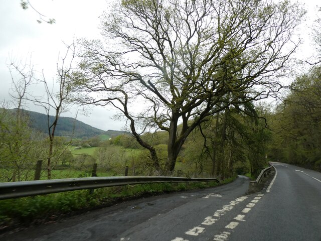
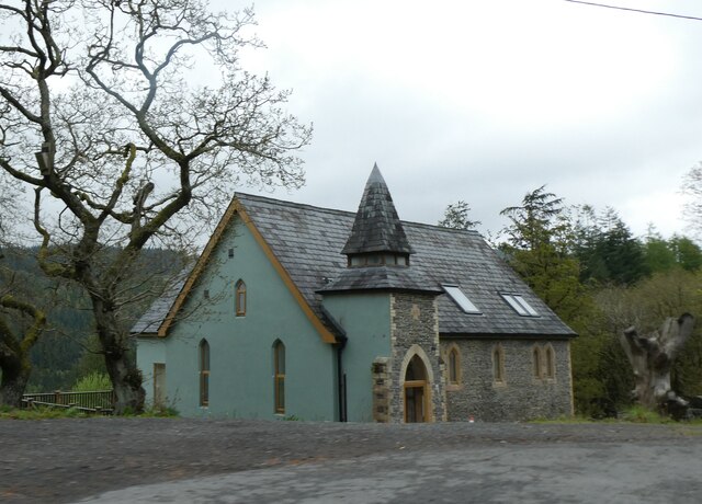
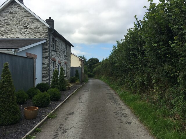
Coed Gwarfelin Images

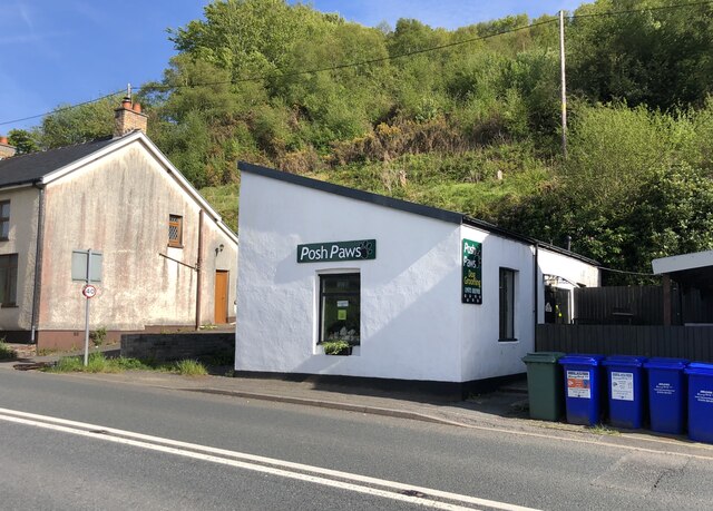
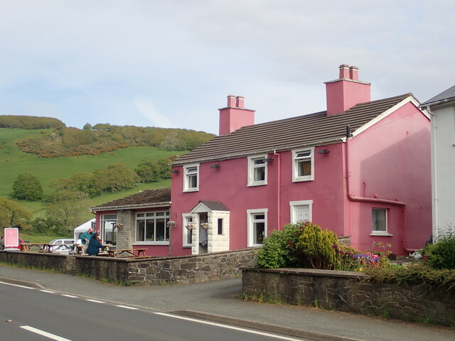
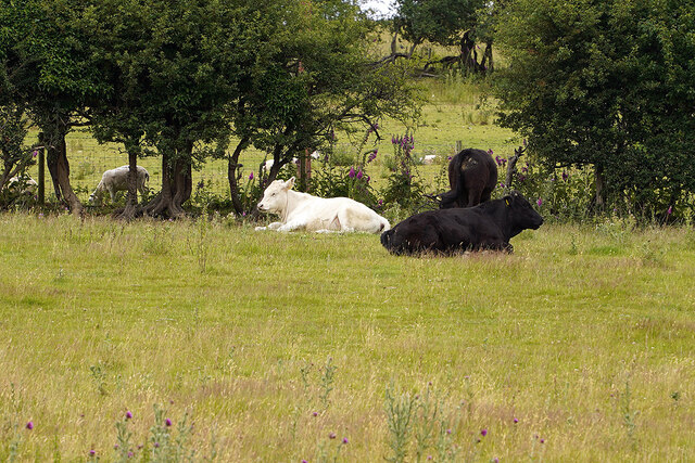
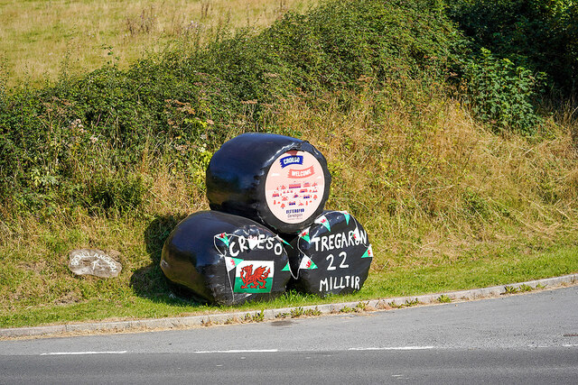
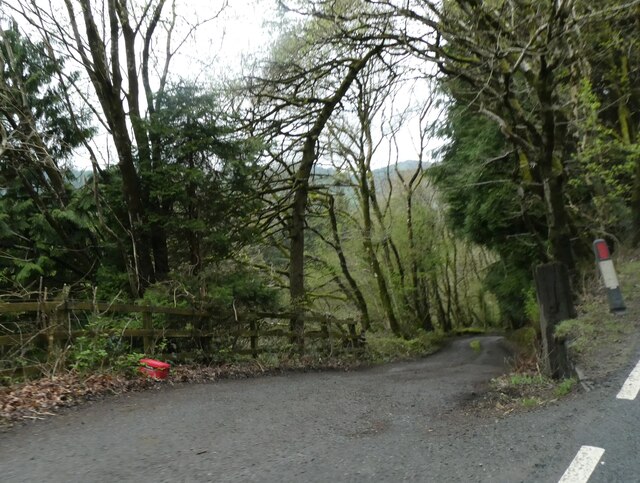
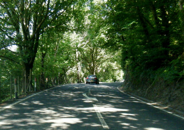
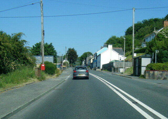
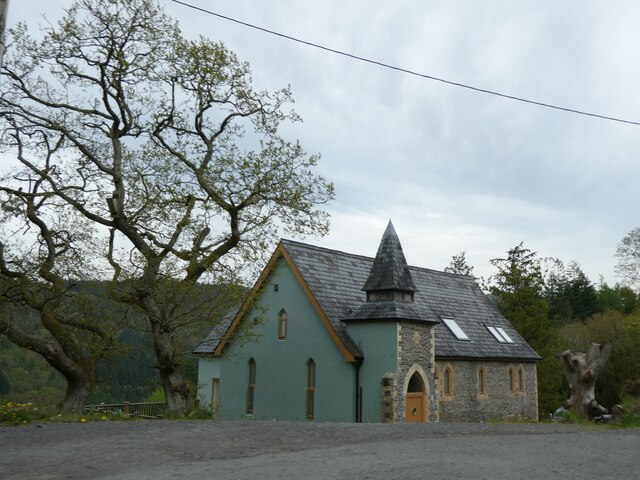
Images are sourced within 2km of 52.414304/-3.9474181 or Grid Reference SN6781. Thanks to Geograph Open Source API. All images are credited.
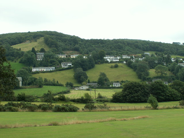
Posh Paws Dog grooming venture at Goginan
Posh Paws
Dog grooming venture at Goginan
Pretty in pink! Tafarn y Maes, Capel Bangor.
Pretty in pink!
Tafarn y Maes, Capel Bangor.
Allt Ty-cam [hill] With Neuadd Parc Farm visible, bottom left. Viewed from Aberffrwd.
Allt Ty-cam [hill]
With Neuadd Parc Farm visible, bottom left. Viewed from Aberffrwd.
Relaxing at the Fron Young bulls, possibly steers, relaxing in the field at Fron Farm, Capel Bangor.
Relaxing at the Fron
Young bulls, possibly steers, relaxing in the field at Fron Farm, Capel Bangor.
Hay bales advertising the National Eisteddfod The 2022 event was held at Tregaron, July 30 - 6 August.
Hay bales advertising the National Eisteddfod
The 2022 event was held at Tregaron, July 30 - 6 August.
House on the hill in Capel Bangor Caught in evening sunshine.
House on the hill in Capel Bangor
Caught in evening sunshine.
House on the Hill Swyn Rheidol, Capel Bangor. With a smattering of snow in the fields behind.
House on the Hill
Swyn Rheidol, Capel Bangor. With a smattering of snow in the fields behind.
New house at Fron Farm A self-build now almost complete.
New house at Fron Farm
A self-build now almost complete.
Bullocks at the Fron
Side road off A44 in Maes-bangor The A44 is a major road in the United Kingdom that runs for 155 miles from Oxford in southern England to Aberystwyth in west Wales.
<span class="nowrap"><a title="http://www.sabre-roads.org.uk/wiki/index.php?title=A44" rel="nofollow ugc noopener" href="http://www.sabre-roads.org.uk/wiki/index.php?title=A44">Link</a><img style="margin-left:2px;" alt="External link" title="External link - shift click to open in new window" src="https://s1.geograph.org.uk/img/external.png" width="10" height="10"/></span>  SABRE
<span class="nowrap"><a title="https://en.wikipedia.org/wiki/A44_road" rel="nofollow ugc noopener" href="https://en.wikipedia.org/wiki/A44_road">Link</a><img style="margin-left:2px;" alt="External link" title="External link - shift click to open in new window" src="https://s1.geograph.org.uk/img/external.png" width="10" height="10"/></span>  Wikipedia
Side road off A44 in Maes-bangor
The A44 is a major road in the United Kingdom that runs for 155 miles from Oxford in southern England to Aberystwyth in west Wales. LinkExternal link SABRE LinkExternal link Wikipedia
A44 in woodland west of Goginan The A44 is a major road in the United Kingdom that runs for 155 miles from Oxford in southern England to Aberystwyth in west Wales.
<span class="nowrap"><a title="http://www.sabre-roads.org.uk/wiki/index.php?title=A44" rel="nofollow ugc noopener" href="http://www.sabre-roads.org.uk/wiki/index.php?title=A44">Link</a><img style="margin-left:2px;" alt="External link" title="External link - shift click to open in new window" src="https://s1.geograph.org.uk/img/external.png" width="10" height="10"/></span>  SABRE
<span class="nowrap"><a title="https://en.wikipedia.org/wiki/A44_road" rel="nofollow ugc noopener" href="https://en.wikipedia.org/wiki/A44_road">Link</a><img style="margin-left:2px;" alt="External link" title="External link - shift click to open in new window" src="https://s1.geograph.org.uk/img/external.png" width="10" height="10"/></span>  Wikipedia
A44 in woodland west of Goginan
The A44 is a major road in the United Kingdom that runs for 155 miles from Oxford in southern England to Aberystwyth in west Wales. LinkExternal link SABRE LinkExternal link Wikipedia
This way to Penbryn and the valley; side road from A44 The A44 is a major road in the United Kingdom that runs for 155 miles from Oxford in southern England to Aberystwyth in west Wales.
<span class="nowrap"><a title="http://www.sabre-roads.org.uk/wiki/index.php?title=A44" rel="nofollow ugc noopener" href="http://www.sabre-roads.org.uk/wiki/index.php?title=A44">Link</a><img style="margin-left:2px;" alt="External link" title="External link - shift click to open in new window" src="https://s1.geograph.org.uk/img/external.png" width="10" height="10"/></span>  SABRE
<span class="nowrap"><a title="https://en.wikipedia.org/wiki/A44_road" rel="nofollow ugc noopener" href="https://en.wikipedia.org/wiki/A44_road">Link</a><img style="margin-left:2px;" alt="External link" title="External link - shift click to open in new window" src="https://s1.geograph.org.uk/img/external.png" width="10" height="10"/></span>  Wikipedia
This way to Penbryn and the valley; side road from A44
The A44 is a major road in the United Kingdom that runs for 155 miles from Oxford in southern England to Aberystwyth in west Wales. LinkExternal link SABRE LinkExternal link Wikipedia
Goginan's abandoned church by A44
Side road from A44 to Blaendyffryn The A44 is a major road in the United Kingdom that runs for 155 miles from Oxford in southern England to Aberystwyth in west Wales.
<span class="nowrap"><a title="http://www.sabre-roads.org.uk/wiki/index.php?title=A44" rel="nofollow ugc noopener" href="http://www.sabre-roads.org.uk/wiki/index.php?title=A44">Link</a><img style="margin-left:2px;" alt="External link" title="External link - shift click to open in new window" src="https://s1.geograph.org.uk/img/external.png" width="10" height="10"/></span>  SABRE
<span class="nowrap"><a title="https://en.wikipedia.org/wiki/A44_road" rel="nofollow ugc noopener" href="https://en.wikipedia.org/wiki/A44_road">Link</a><img style="margin-left:2px;" alt="External link" title="External link - shift click to open in new window" src="https://s1.geograph.org.uk/img/external.png" width="10" height="10"/></span>  Wikipedia
Side road from A44 to Blaendyffryn
The A44 is a major road in the United Kingdom that runs for 155 miles from Oxford in southern England to Aberystwyth in west Wales. LinkExternal link SABRE LinkExternal link Wikipedia
A44 south of Penbryn Farm
A44 in Goginan
A44 in Goginan
Goginan chapel
Goginan chapel
Minor road near Dolypandy
Show me another place!

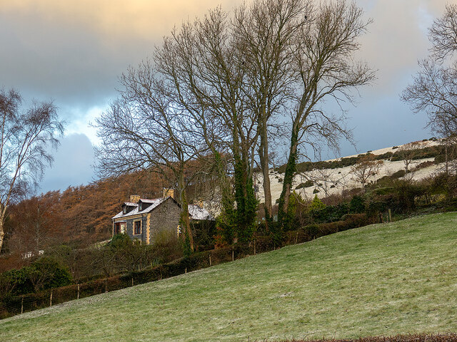
Coed Gwarfelin is located at Grid Ref: SN6781 (Lat: 52.414304, Lng: -3.9474181)

Unitary Authority: Ceredigion

Police Authority: Dyfed Powys

What 3 Words

///secretly.hurt.equipping. Near Bow Street, Ceredigion

Nearby Locations

Coed Gwarfelin Allt Goch

Related Wikis

Dollwen

Dollwen is a hamlet in the community of Melindwr, Ceredigion, Wales, which is 72.1 miles (116 km) from Cardiff and 173.6 miles (279.4 km) from London...

Goginan

Goginan is a small village in Ceredigion, about 7 miles outside Aberystwyth on the A44 between Ponterwyd and Capel Bangor. The Afon Melindwr runs through...

Daren

Daren is a hamlet bach in the community of Trefeurig, Ceredigion, Wales, which is 73.2 miles (117.7 km) from Cardiff and 174.5 miles (280.8 km) from London...

Melindwr

Melindwr is a community in the county of Ceredigion, Wales, to the east of Aberystwyth and is 71.6 miles (115.1 km) from Cardiff and 173.8 miles (279.7...

Maes-bangor

Maes-bangor is a hamlet in the community of Melindwr, Ceredigion, Wales, which is 72.2 miles (116.1 km) from Cardiff and 174.9 miles (281.4 km) from London...

Capel Bangor

Capel Bangor (Welsh: Penllwyn) is a small village in Ceredigion, Wales, approximately 5 miles (8.0 km) east of Aberystwyth. The A44 road and the seasonal...

Dol-y-pandy

Dol-y-pandy is a hamlet in the community of Melindwr, Ceredigion, Wales, which is 72.1 miles (116 km) from Cardiff and 174.9 miles (281.5 km) from London...

Pen-bont-rhyd-y-beddau

Pen-bont-rhyd-y-beddau is a small village in the community of Trefeurig, Ceredigion, Wales, which is 73.7 miles (118.6 km) from Cardiff and 174.8 miles...

Nearby Amenities

Located within 500m of 52.414304,-3.9474181
Power: pole
Lat/Long: 52.4157343/-3.954142
Power: pole
Lat/Long: 52.4142799/-3.9523664
Power: pole
Lat/Long: 52.4139314/-3.9515215
Power: pole
Lat/Long: 52.412333/-3.9495233
Power: pole
Lat/Long: 52.411636/-3.9485523
Power: pole
Lat/Long: 52.4110912/-3.9478174
Power: pole
Lat/Long: 52.4104564/-3.9468142
Direction: SSE
Generator Method: photovoltaic
Generator Output Electricity: yes
Generator Solar Modules: 16
Generator Source: solar
Generator Type: solar_photovoltaic_panel
Location: roof
Power: generator
Lat/Long: 52.4150586/-3.9427534
The data included in this document is from www.openstreetmap.org. The data is made available under ODbL.

Have you been to Coed Gwarfelin?

Leave your review of Coed Gwarfelin below (or comments, questions and feedback).