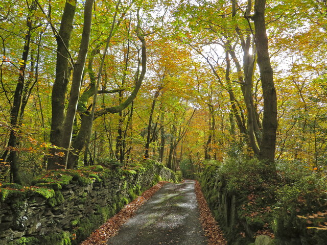
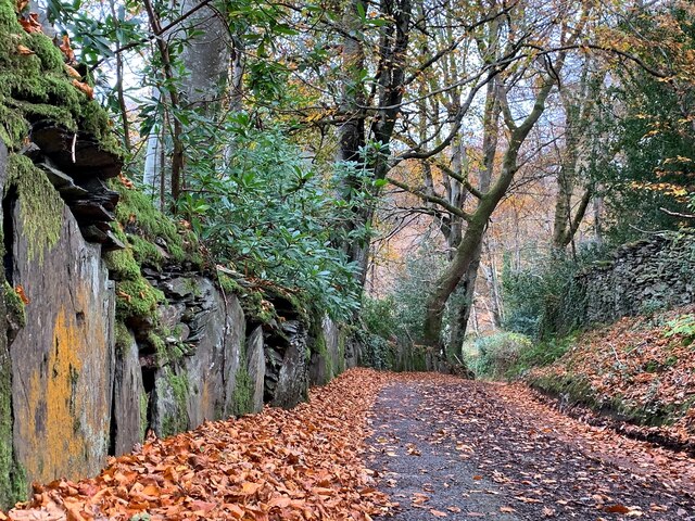
Coed Penrhyn-gerwin

Wood, Forest in Cardiganshire

Wales

Coed Penrhyn-gerwin

Dyfi Furnace
Dyfi Furnace Credit: John H Darch

The requested URL returned error: 429 Too Many Requests

If you have any feedback on the listing, please let us know in the comments section below.

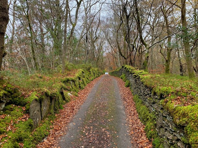
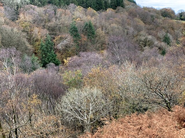
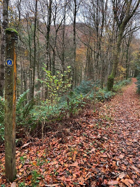
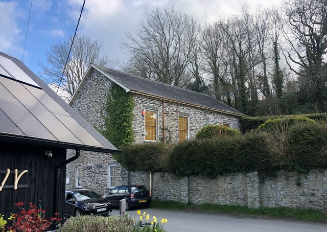
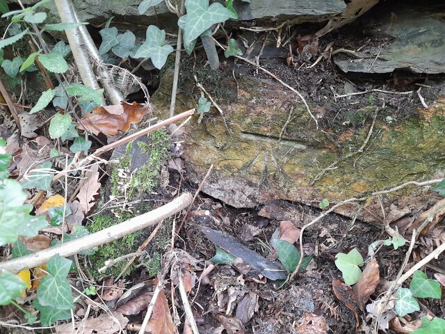
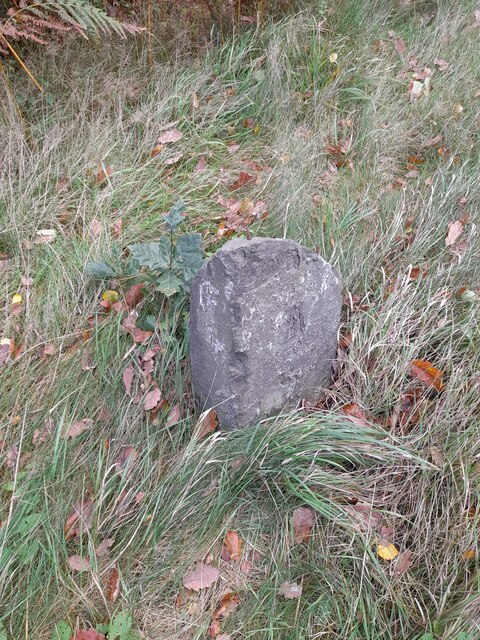
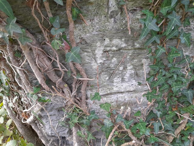
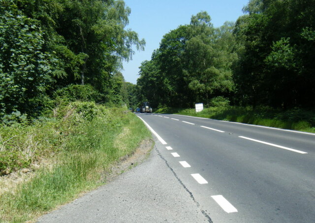
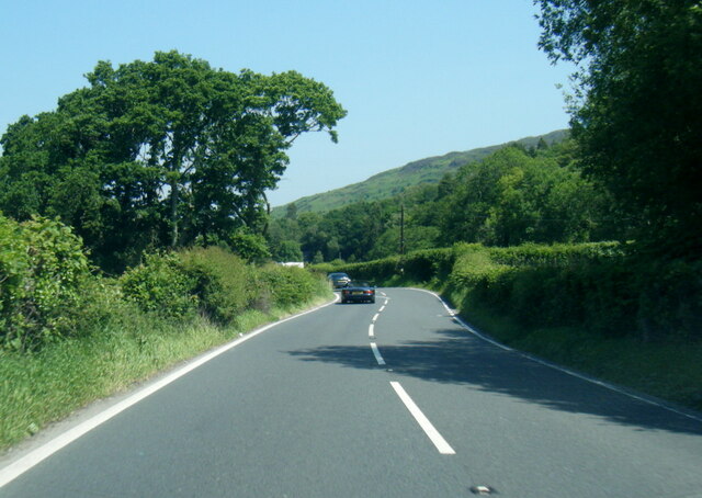
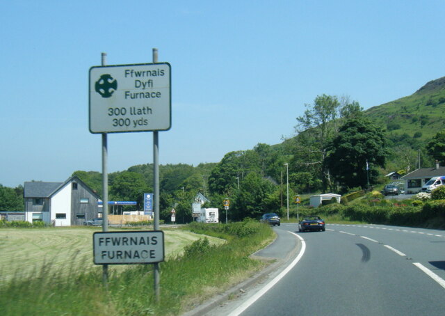
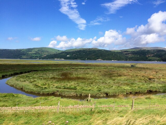
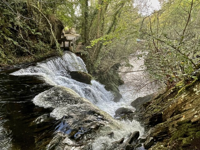
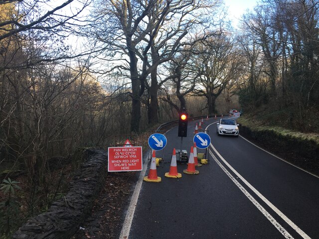
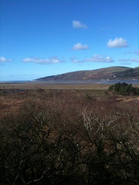
Coed Penrhyn-gerwin Images

Images are sourced within 2km of 52.527025/-3.9590215 or Grid Reference SN6793. Thanks to Geograph Open Source API. All images are credited.

Dyfi Furnace
Dyfi Furnace
Lôn uwchben Ffwrnais The lane above Furnace through the woods.
Lôn uwchben Ffwrnais
The lane above Furnace through the woods.
Bwlcheinion Sea View Arwydd ar A487 yn Ffwrnais / Sign on the A487 in Furnace.
Bwlcheinion Sea View
Arwydd ar A487 yn Ffwrnais / Sign on the A487 in Furnace.
Wal y lôn, Ffwrnais / Lane wall, Furnace
Lôn uwchben Ffwrnais / Lane above Furnace In the last of the autumn colours.
Lôn uwchben Ffwrnais / Lane above Furnace
In the last of the autumn colours.
Yr olaf o liwiau'r hydref / Last of the autumn colours Along Cwm Einion, above Ffwrnais/Furnace village.
Yr olaf o liwiau'r hydref / Last of the autumn colours
Along Cwm Einion, above Ffwrnais/Furnace village.
Wales Coast(less) Path, Cwm Einion Because there's no bridging point of the Dyfi lower than Machynlleth, the coast path has to veer a long way inland. It's a glorious route, all the same, but don't bring a bucket and spade.
Wales Coast(less) Path, Cwm Einion
Because there's no bridging point of the Dyfi lower than Machynlleth, the coast path has to veer a long way inland. It's a glorious route, all the same, but don't bring a bucket and spade.
Soar Wesleyan Methodist Chapel - yr Hen Gapel Built in the early 1800's, it was converted to a Sunday School in 1877.
Soar Wesleyan Methodist Chapel - yr Hen Gapel
Built in the early 1800's, it was converted to a Sunday School in 1877.
Ordnance Survey Cut Mark This OS cut mark can be found on the wall west side of the road. It marks a point 41.319m above mean sea level.
Ordnance Survey Cut Mark
This OS cut mark can be found on the wall west side of the road. It marks a point 41.319m above mean sea level.
Milestone - Aberystwyth 10 Badly damaged milestone east side of road.
Milestone - Aberystwyth 10
Badly damaged milestone east side of road.
Ordnance Survey Cut Mark This OS cut mark can be found on the wall post NW side of the road. It marks a point 23.284m above mean sea level.
Ordnance Survey Cut Mark
This OS cut mark can be found on the wall post NW side of the road. It marks a point 23.284m above mean sea level.
A487 in The Park woodland
A487 near Coed y Fedw
A487 at Furnace village boundary
From a Machynlleth-Aberystwyth train, saltmarsh by the Dovey estuary
Rhaeadr yr Afon Einion, Ffwrnais At the top of the Furnace waterfall, looking down it and the Afon Einion towards the A487 bridge. The furnace building itself is behind the rock top left. The old leat running to the waterwheel there can be seen, with a sluice gate in front of it.
Rhaeadr yr Afon Einion, Ffwrnais
At the top of the Furnace waterfall, looking down it and the Afon Einion towards the A487 bridge. The furnace building itself is behind the rock top left. The old leat running to the waterwheel there can be seen, with a sluice gate in front of it.
Roadworks on the A487 towards Furnace
View towards the Dovey estuary, from a bird hide in the Ynys hir RSPB site
Show me another place!

Coed Penrhyn-gerwin is located at Grid Ref: SN6793 (Lat: 52.527025, Lng: -3.9590215)

Unitary Authority: Ceredigion

Police Authority: Dyfed Powys

What 3 Words

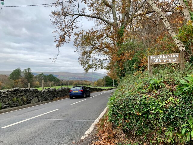
///prepped.romance.perfumes. Near Borth, Ceredigion

Related Wikis

Coed y Garth, Ceredigion

Coed y Garth is a small village in the community of Ysgubor-y-coed, Ceredigion, Wales, which is 79.7 miles (128.2 km) from Cardiff and 176.9 miles (284...

Furnace, Ceredigion

Furnace (Welsh: Ffwrnais) is a hamlet in Ceredigion, Wales on the A487 trunk road from Machynlleth to Aberystwyth, near Eglwysfach. It is the location...
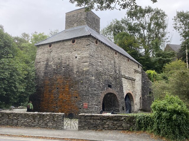
Dyfi Furnace

Dyfi Furnace is a restored mid 18th century charcoal fired blast furnace used for smelting iron ore. It has given its name to the adjoining hamlet of Furnace...

Craig-y-penrhyn

Craig-y-penrhyn is a hamlet in the community of Llangynfelyn, Ceredigion, Wales, which is 79.3 miles (127.7 km) from Cardiff and 178.1 miles (286.6 km...

Nearby Amenities

Located within 500m of 52.527025,-3.9590215
Parking
Parking: surface
Lat/Long: 52.5278297/-3.9632072
Building: yes
Lat/Long: 52.5277521/-3.953808
Building: yes
Lat/Long: 52.5289792/-3.9555031
Power: pole
Lat/Long: 52.5300338/-3.9538765
Power: pole
Lat/Long: 52.5297059/-3.954539
Power: pole
Lat/Long: 52.5293958/-3.9551693
Barrier: kissing_gate
Lat/Long: 52.5260013/-3.9549486
Barrier: kissing_gate
Lat/Long: 52.5268277/-3.9526954
The data included in this document is from www.openstreetmap.org. The data is made available under ODbL.

Have you been to Coed Penrhyn-gerwin?

Leave your review of Coed Penrhyn-gerwin below (or comments, questions and feedback).