Allt Ddyfadfa
Wood, Forest in Carmarthenshire
Wales
Allt Ddyfadfa
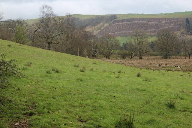
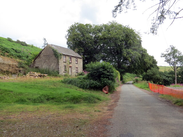
Allt Ddyfadfa is a picturesque woodland located in Carmarthenshire, Wales. Situated within the heart of the county, it covers an expansive area of lush greenery, making it a popular destination for nature enthusiasts and hikers alike.
The woodland is characterized by its diverse range of trees, including oak, beech, and birch, which create a beautiful and tranquil atmosphere. The dense canopy allows only dappled sunlight to filter through, casting an enchanting glow on the forest floor.
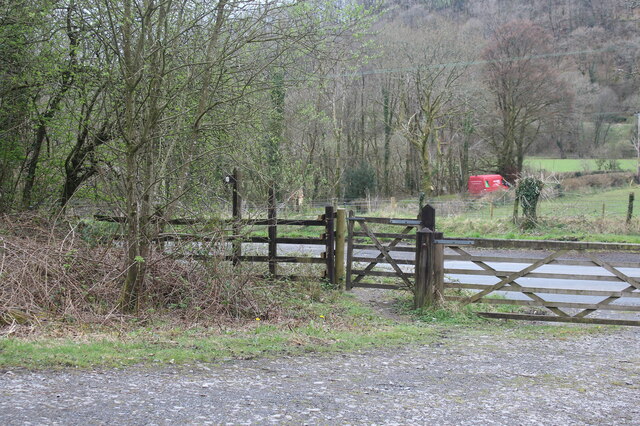
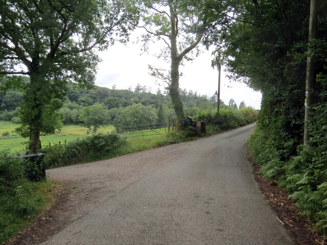
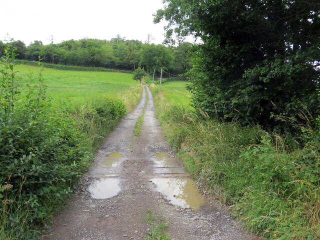
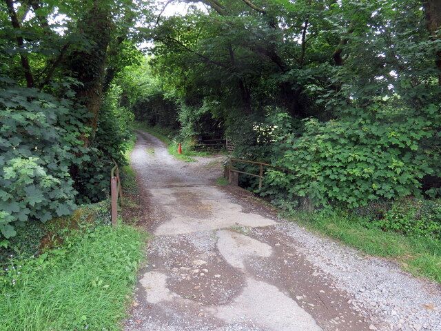
The terrain of Allt Ddyfadfa is varied, with gentle slopes and meandering paths that wind through the woods. These trails are well-maintained, making it accessible to visitors of all ages and abilities. Along the way, hikers can enjoy scenic views of the surrounding countryside and even catch glimpses of local wildlife such as deer, squirrels, and various bird species.
The woodland is also home to a diverse array of plant life, including ferns, heather, and bluebells, which create a vibrant tapestry of colors throughout the seasons. During spring, the forest floor becomes a carpet of blue as the bluebells bloom, attracting photographers and nature enthusiasts from near and far.
Allt Ddyfadfa offers a peaceful escape from the hustle and bustle of everyday life, providing visitors with an opportunity to reconnect with nature. Whether it's a leisurely stroll or an adventurous hike, this woodland has something to offer for everyone seeking solace in the beauty of the great outdoors.
If you have any feedback on the listing, please let us know in the comments section below.
Allt Ddyfadfa Images
Images are sourced within 2km of 52.052459/-3.965521 or Grid Reference SN6541. Thanks to Geograph Open Source API. All images are credited.
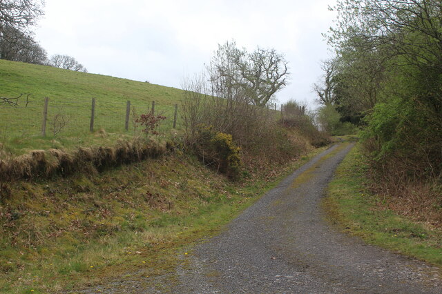
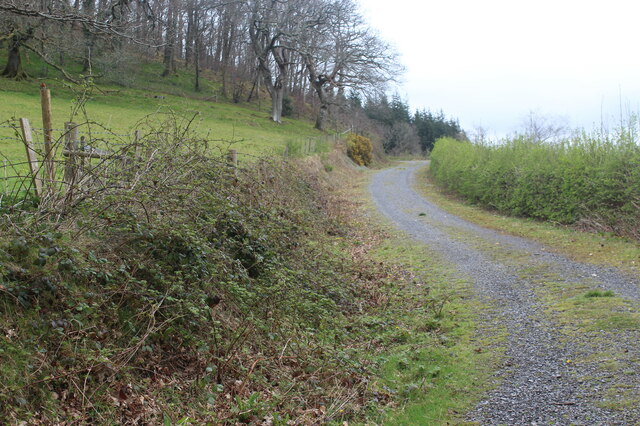
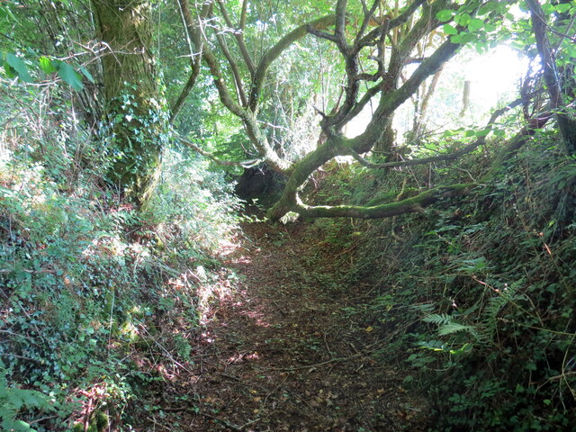
![Llwybr yn gadael yr heol / Path exiting the road Llwybr yn gadael heol fach ger Mwyngloddiau Aur Dolaucothi.
Path exiting a minor road near the Dolaucothi Goldmines (trans. Cothi [river] meadows).](https://s0.geograph.org.uk/geophotos/07/03/08/7030836_ae53f00f.jpg)
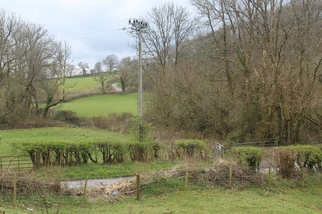
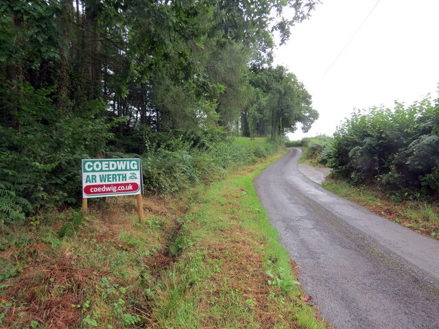
![Llwybr Bryneglwys Fawr / Bryneglwys Fawr path Llwybr cyhoeddus yn mynd i lawr y waered ger Ffarm Bryneglwys Fawr,
A public footpath descends the hill near Bryneglwys Fawr (trans. the larger church hill [farm]).](https://s3.geograph.org.uk/geophotos/07/26/59/7265995_93511851.jpg)
Allt Ddyfadfa is located at Grid Ref: SN6541 (Lat: 52.052459, Lng: -3.965521)
Unitary Authority: Carmarthenshire
Police Authority: Dyfed Powys
What 3 Words
///pump.replying.unheated. Near Llansawel, Carmarthenshire
Nearby Locations
Related Wikis

Cynwyl Gaeo
Cynwyl Gaeo is a parish and community located in rural Carmarthenshire, Wales, near the boundary with Ceredigion, in the upper Cothi valley about halfway...

Pumsaint
Pumsaint is a village in Carmarthenshire, Wales, halfway between Llanwrda and Lampeter on the A482 in the valley of the Afon Cothi. It forms part of the...

Afon Twrch, Carmarthenshire
The Afon Twrch is a short river in Carmarthenshire, West Wales. It joins the River Cothi (itself a left-bank tributary of the River Towy) at the village...

Luentinum
Luentinum or Loventium refers to the Roman fort at Pumsaint, Carmarthenshire. The 1.9 hectares (4.7 acres) site lies either side of the A482 in Pumsaint...
Nearby Amenities
Located within 500m of 52.052459,-3.965521Have you been to Allt Ddyfadfa?
Leave your review of Allt Ddyfadfa below (or comments, questions and feedback).