Allt Dolaucothy
Wood, Forest in Carmarthenshire
Wales
Allt Dolaucothy
Allt Dolaucothy is a picturesque wood located in the county of Carmarthenshire, Wales. It is situated near the village of Pumsaint, nestled within the rolling hills of the Carmarthenshire countryside.
This woodland covers an area of approximately 100 acres, providing a haven for nature enthusiasts and outdoor adventurers alike. The wood is predominantly composed of native broadleaf trees, including oak, beech, and birch, which create a diverse and vibrant ecosystem.
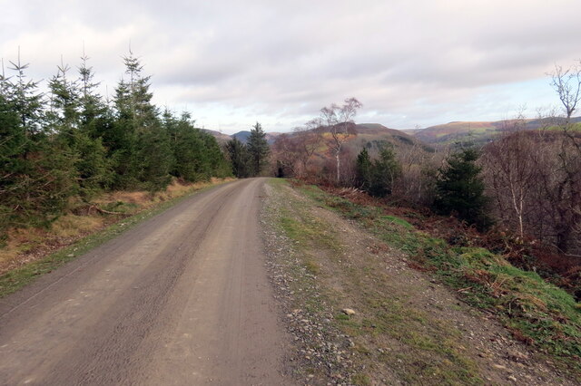
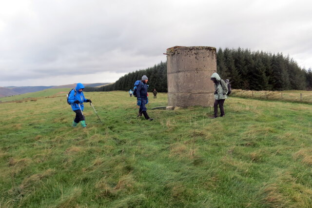
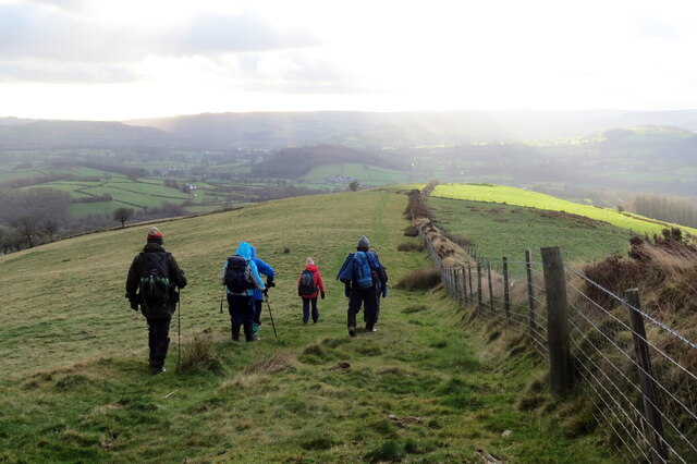
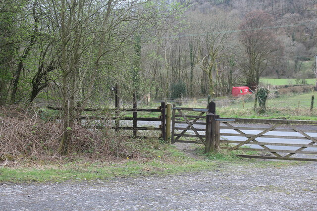
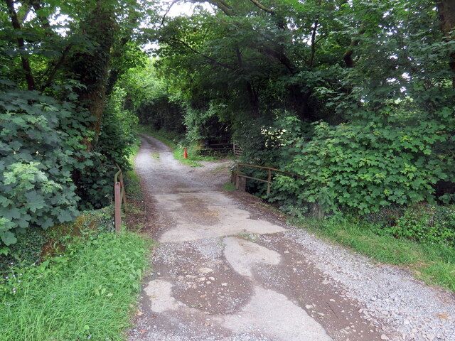
A network of well-maintained walking trails meanders through the wood, allowing visitors to explore its beauty at their own pace. These trails offer breathtaking views of the surrounding landscape, with glimpses of nearby rivers and streams. The diverse range of flora and fauna found within Allt Dolaucothy makes it an ideal habitat for various bird species, such as woodpeckers, tits, and thrushes. Wildlife enthusiasts may also spot rabbits, badgers, and squirrels during their visit.
Allt Dolaucothy is not only a haven for wildlife but also holds historical significance. The wood is home to the remains of an ancient hillfort, believed to date back to the Iron Age. This archaeological site adds an extra layer of intrigue to the wood, as visitors can explore and learn about the area's rich cultural heritage.
Overall, Allt Dolaucothy offers visitors a tranquil and idyllic woodland experience. Whether it's a leisurely stroll, birdwatching, or delving into history, this wood has something to offer for everyone.
If you have any feedback on the listing, please let us know in the comments section below.
Allt Dolaucothy Images
Images are sourced within 2km of 52.052366/-3.9581514 or Grid Reference SN6541. Thanks to Geograph Open Source API. All images are credited.
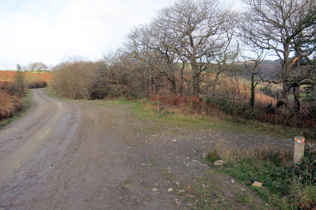
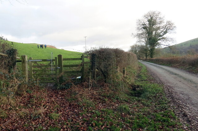
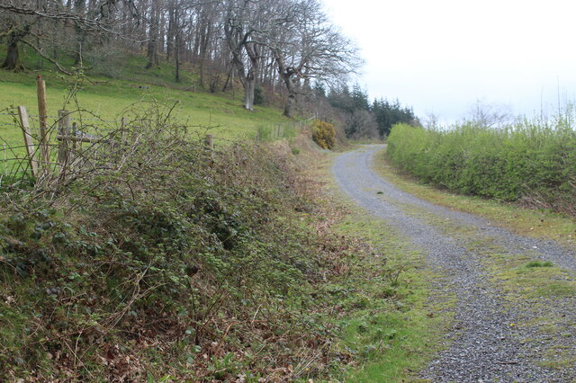
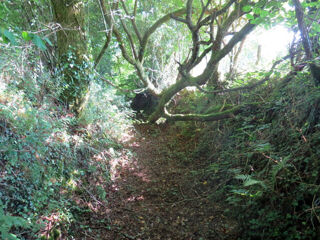
![Llwybr yn gadael yr heol / Path exiting the road Llwybr yn gadael heol fach ger Mwyngloddiau Aur Dolaucothi.
Path exiting a minor road near the Dolaucothi Goldmines (trans. Cothi [river] meadows).](https://s0.geograph.org.uk/geophotos/07/03/08/7030836_ae53f00f.jpg)
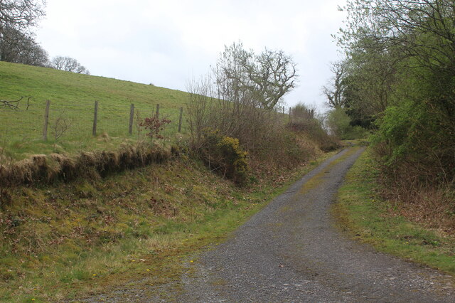
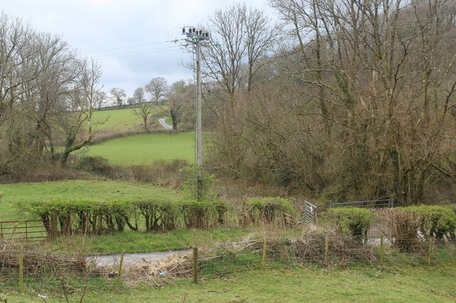
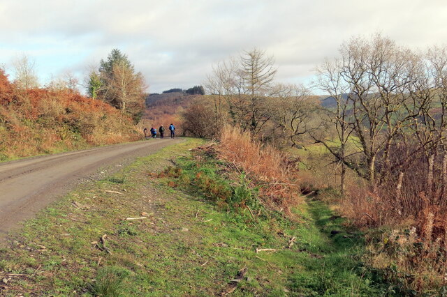
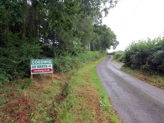
![Llwybr Bryneglwys Fawr / Bryneglwys Fawr path Llwybr cyhoeddus yn mynd i lawr y waered ger Ffarm Bryneglwys Fawr,
A public footpath descends the hill near Bryneglwys Fawr (trans. the larger church hill [farm]).](https://s3.geograph.org.uk/geophotos/07/26/59/7265995_93511851.jpg)
Allt Dolaucothy is located at Grid Ref: SN6541 (Lat: 52.052366, Lng: -3.9581514)
Unitary Authority: Carmarthenshire
Police Authority: Dyfed Powys
What 3 Words
///dispensed.reclaimed.factored. Near Llansawel, Carmarthenshire
Nearby Locations
Related Wikis

Cynwyl Gaeo
Cynwyl Gaeo is a parish and community located in rural Carmarthenshire, Wales, near the boundary with Ceredigion, in the upper Cothi valley about halfway...

Pumsaint
Pumsaint is a village in Carmarthenshire, Wales, halfway between Llanwrda and Lampeter on the A482 in the valley of the Afon Cothi. It forms part of the...

Dolaucothi Estate
The Dolaucothi Estate (also Dolaucothy) is situated about 1 mile (1.6 km) north-west of the village of Caio up the Cothi Valley in the community of Cynwyl...

Afon Twrch, Carmarthenshire
The Afon Twrch is a short river in Carmarthenshire, West Wales. It joins the River Cothi (itself a left-bank tributary of the River Towy) at the village...

Luentinum
Luentinum or Loventium refers to the Roman fort at Pumsaint, Carmarthenshire. The 1.9 hectares (4.7 acres) site lies either side of the A482 in Pumsaint...

Dolaucothi Gold Mines
The Dolaucothi Gold Mines (pronounced [ˌdɔlaiˈkɔθɪ]; Welsh: Mwynfeydd Aur Dolaucothi) (grid reference SN662403), also known as the Ogofau Gold Mine, are...

Caio, Carmarthenshire
Caio (or Caeo) is a village in the county of Carmarthenshire, south-west Wales, sited near to the Dolaucothi Gold Mines. == Location == It is located between...

Ffarmers
Ffarmers is a village near Lampeter, in the north of Carmarthenshire, Wales. It was named after the old "Farmers' Arms" public house, which is now closed...
Nearby Amenities
Located within 500m of 52.052366,-3.9581514Have you been to Allt Dolaucothy?
Leave your review of Allt Dolaucothy below (or comments, questions and feedback).