Pen-bont-Twrch

Settlement in Carmarthenshire

Wales

Pen-bont-Twrch

Cyffordd o draciau / A junction of tracks Cyffordd o draciau yn Allt Cwm-dyfiog.

A junction of tracks at Allt Cwm-dyfiog
Cyffordd o draciau / A junction of tracks Credit: Alan Richards

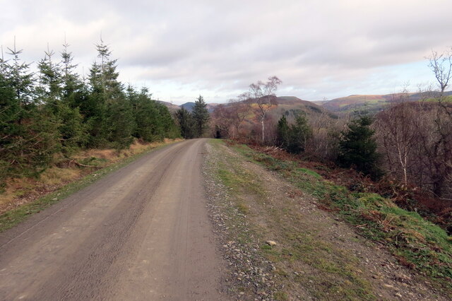
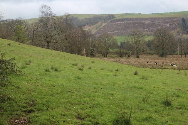
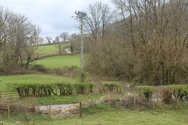
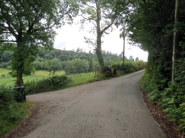
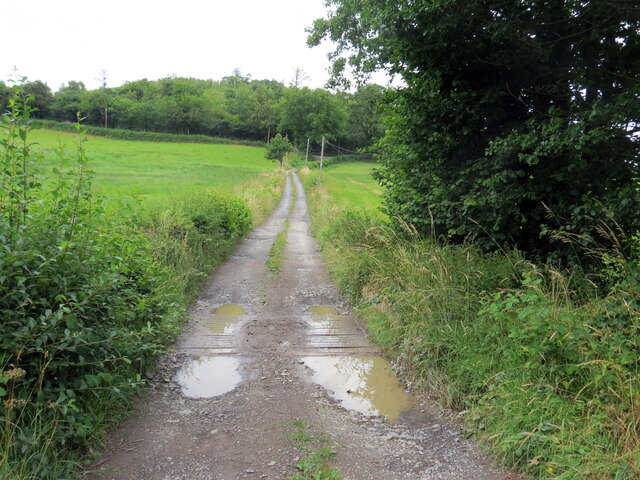
Pen-bont-Twrch is a small village situated in the county of Carmarthenshire, Wales. Located near the western border of the county, it lies on the banks of the River Twrch, approximately 6 miles northwest of the town of Llandovery. The village is nestled within the scenic landscape of the Brecon Beacons National Park, offering stunning views of the surrounding hills and valleys.

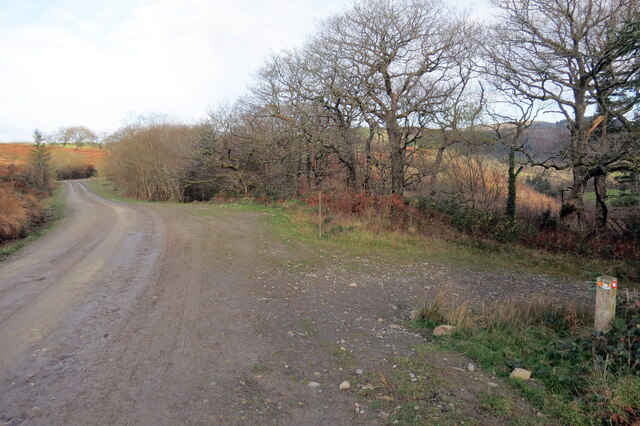
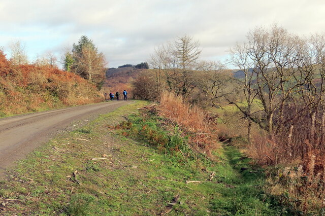
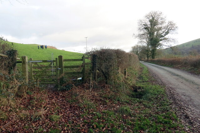
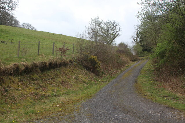
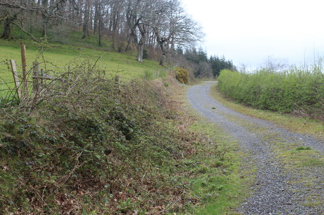
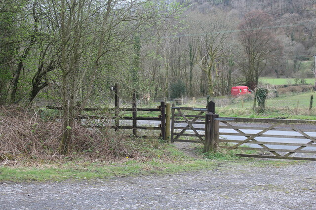
Pen-bont-Twrch is known for its picturesque countryside and is a popular destination for outdoor enthusiasts. The village is surrounded by an abundance of walking and hiking trails, including the famous Brecon Beacons Way, which passes close by. The area is also home to diverse wildlife, with various bird species and mammals such as otters and badgers often spotted in the vicinity.

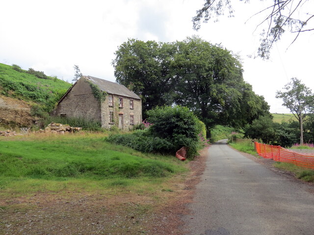
The village itself is small and charming, with a tight-knit community of residents. It features a handful of traditional stone cottages and houses, giving it a quaint and rustic atmosphere. Though modest in size, Pen-bont-Twrch has a sense of tranquility and offers a peaceful escape from the hustle and bustle of city life.

The village does not have many amenities, with the nearest shops and services located in Llandovery. However, it does boast a local pub, which serves as a social hub for both residents and visitors alike.

Overall, Pen-bont-Twrch is a hidden gem in Carmarthenshire, offering breathtaking natural beauty and a peaceful retreat for those seeking a rural escape.

If you have any feedback on the listing, please let us know in the comments section below.

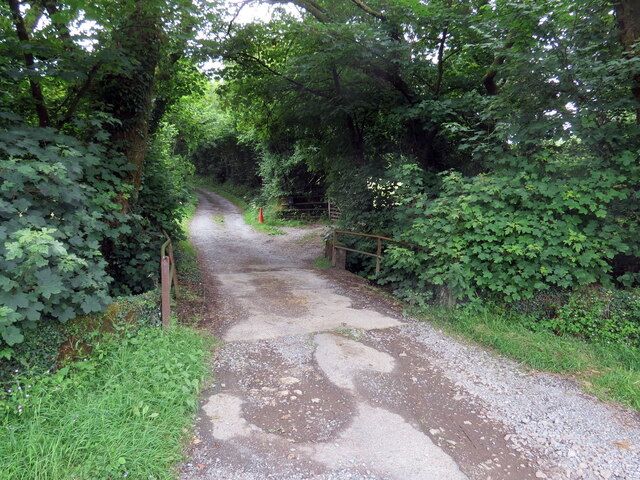
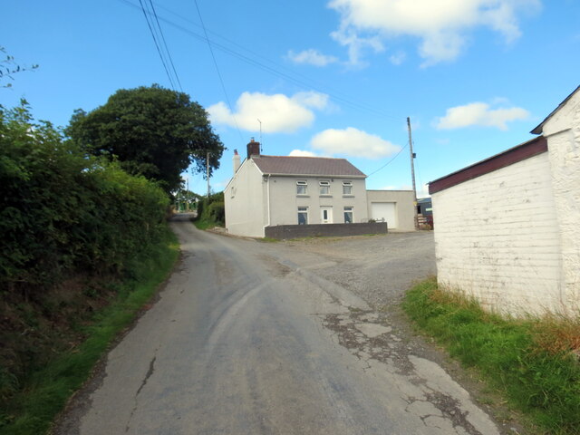
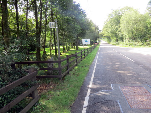
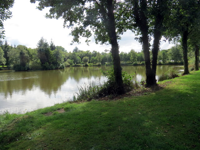
Pen-bont-Twrch Images

Images are sourced within 2km of 52.058724/-3.967937 or Grid Reference SN6541. Thanks to Geograph Open Source API. All images are credited.
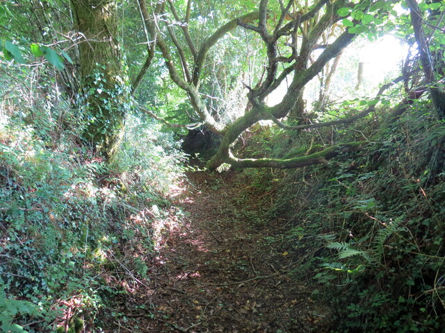
Cyffordd o draciau / A junction of tracks Cyffordd o draciau yn Allt Cwm-dyfiog.

A junction of tracks at Allt Cwm-dyfiog
Cyffordd o draciau / A junction of tracks
Cyffordd o draciau yn Allt Cwm-dyfiog. A junction of tracks at Allt Cwm-dyfiog
Trac y goedwigaeth / Forestry track Trac y goedwigaeth ger Penlan-dolau.

A forestry track near Penlan-dolau (trans. hilltop of meadows)
Trac y goedwigaeth / Forestry track
Trac y goedwigaeth ger Penlan-dolau. A forestry track near Penlan-dolau (trans. hilltop of meadows)
Allt Cwm-dyfiog Llwybr cyhoeddus yn gadael y trac yn Allt Cwm-dyfiog.

A public footpath exits the track at Allt Cwm-dyfiog.
Allt Cwm-dyfiog
Llwybr cyhoeddus yn gadael y trac yn Allt Cwm-dyfiog. A public footpath exits the track at Allt Cwm-dyfiog.
Llwybr yn gadael heol fynedfa / Path exits an access road Llwybr cyhoeddus yn gadael trac ger Ffarm Dolaucothi.

A public footpath exits a track near Dolaucothi Farm (trans. meadows of the river Cothi).
Llwybr yn gadael heol fynedfa / Path exits an access road
Llwybr cyhoeddus yn gadael trac ger Ffarm Dolaucothi. A public footpath exits a track near Dolaucothi Farm (trans. meadows of the river Cothi).
Track up to Allt Dolaucothi from A482 The track turns left <a href="https://www.geograph.org.uk/photo/7149225">SN6540 : Hillside track to Allt Dolaucothi</a> at the end of the straight section; it is the route of a permissive footpath (National Trust).
Track up to Allt Dolaucothi from A482
The track turns left SN6540 : Hillside track to Allt Dolaucothi at the end of the straight section; it is the route of a permissive footpath (National Trust).
Hillside pasture and rushes with cattle Pasture next to track on side of Cothi valley.
Hillside pasture and rushes with cattle
Pasture next to track on side of Cothi valley.
Hillside track to Allt Dolaucothi Stony track - a continuation from the bend of track in <a href="https://www.geograph.org.uk/photo/7148930">SN6540 : Track up to Allt Dolaucothi from A482</a>.
Hillside track to Allt Dolaucothi
Stony track - a continuation from the bend of track in SN6540 : Track up to Allt Dolaucothi from A482.
Gates at start of track from A482 The track turns to go uphill, track in <a href="https://www.geograph.org.uk/photo/7148930">SN6540 : Track up to Allt Dolaucothi from A482</a>. The red van is on a minor road from the A482 towards Pont Maes-troyddyn.
Gates at start of track from A482
The track turns to go uphill, track in SN6540 : Track up to Allt Dolaucothi from A482. The red van is on a minor road from the A482 towards Pont Maes-troyddyn.
Roadside electricity transmission pole Pole by minor road to Pont Maes-troyddyn from A482 just north of Pumsaint.
Roadside electricity transmission pole
Pole by minor road to Pont Maes-troyddyn from A482 just north of Pumsaint.
Bwlch-y-coed Heol fach yn mynd heibio i anhedd-dy o'r enw Bwlch-y-coed.

A minor road passes a property known as Bwlch-y-coed (trans. pass of the wood).
Bwlch-y-coed
Heol fach yn mynd heibio i anhedd-dy o'r enw Bwlch-y-coed. A minor road passes a property known as Bwlch-y-coed (trans. pass of the wood).
Llwybr yn gadael yr heol / Path exits the road Llwybr cyhoeddus a ffordd fynediad yn gadael yr heol.

A public footpath and access road exit the road.
Llwybr yn gadael yr heol / Path exits the road
Llwybr cyhoeddus a ffordd fynediad yn gadael yr heol. A public footpath and access road exit the road.
Llwybr Hafodymaidd / Hafodymaidd path Llwybr cyhoeddus yn agosau at heol fach.

A public footpath approaches a minor road
Llwybr Hafodymaidd / Hafodymaidd path
Llwybr cyhoeddus yn agosau at heol fach. A public footpath approaches a minor road
Llwybr Berllan-dywyll / Berllan-dywyll path Llwybr cyhoeddus a ffordd fynedfa yn mynd tuag at anhedd-dy o'r enw Berllan-dywyll. 

A public footpath and access road heading towards a property known as Berllan-dywyll (trans. dark / sinister orchard).
Llwybr Berllan-dywyll / Berllan-dywyll path
Llwybr cyhoeddus a ffordd fynedfa yn mynd tuag at anhedd-dy o'r enw Berllan-dywyll. A public footpath and access road heading towards a property known as Berllan-dywyll (trans. dark / sinister orchard).
Troed y Rhiw Heol fach yn mynd heibio i anhedd-dy o'r enw Troed y Rhiw.

A minor road passes a property known as Troed y Rhiw (trans. foot of the hill).
Troed y Rhiw
Heol fach yn mynd heibio i anhedd-dy o'r enw Troed y Rhiw. A minor road passes a property known as Troed y Rhiw (trans. foot of the hill).
Llwybr yn gadael yr heol / Path exits the road Llwybr cyhoeddus yn gadael yr A482.

Public footpath exits the A482.
Llwybr yn gadael yr heol / Path exits the road
Llwybr cyhoeddus yn gadael yr A482. Public footpath exits the A482.
Pysgodfa Springwater / Springwater Fishery Llwybr cyhoeddus yn mynd heibio i Bysgodfa Springwater.

A public footpath passes Springwater Fishery.
Pysgodfa Springwater / Springwater Fishery
Llwybr cyhoeddus yn mynd heibio i Bysgodfa Springwater. A public footpath passes Springwater Fishery.
Llwybr Bryneglwys Fawr / Bryneglwys Fawr path Llwybr cyhoeddus yn mynd i lawr y waered ger Ffarm Bryneglwys Fawr,

A public footpath descends the hill near Bryneglwys Fawr (trans. the larger church hill [farm]).
Llwybr Bryneglwys Fawr / Bryneglwys Fawr path
Llwybr cyhoeddus yn mynd i lawr y waered ger Ffarm Bryneglwys Fawr, A public footpath descends the hill near Bryneglwys Fawr (trans. the larger church hill [farm]).
Llwybr ger Glanyrafon / Path near Glanyrafon Llwybr cyhoeddus ger anhedd-dy o'r enw Glanyrafon.

A public footpath near a property known as Glanyrafon (trans. riverside).
Llwybr ger Glanyrafon / Path near Glanyrafon
Llwybr cyhoeddus ger anhedd-dy o'r enw Glanyrafon. A public footpath near a property known as Glanyrafon (trans. riverside).
Show me another place!

Pen-bont-Twrch is located at Grid Ref: SN6541 (Lat: 52.058724, Lng: -3.967937)

Unitary Authority: Carmarthenshire

Police Authority: Dyfed Powys

Also known as: Penbont-twrch

What 3 Words

///pitching.vacancies.massaged. Near Llansawel, Carmarthenshire

Related Wikis

Cynwyl Gaeo

Cynwyl Gaeo is a parish and community located in rural Carmarthenshire, Wales, near the boundary with Ceredigion, in the upper Cothi valley about halfway...

Pumsaint

Pumsaint is a village in Carmarthenshire, Wales, halfway between Llanwrda and Lampeter on the A482 in the valley of the Afon Cothi. It forms part of the...

Afon Twrch, Carmarthenshire

The Afon Twrch is a short river in Carmarthenshire, West Wales. It joins the River Cothi (itself a left-bank tributary of the River Towy) at the village...

Luentinum

Luentinum or Loventium refers to the Roman fort at Pumsaint, Carmarthenshire. The 1.9 hectares (4.7 acres) site lies either side of the A482 in Pumsaint...

Nearby Amenities

Located within 500m of 52.058724,-3.967937
Addr Country: GB
Addr Housename: Aelybryn
Addr Postcode: SA19 8YY
Source Addr Postcode: OS_OpenData_Code-Point
Source Name: OS_OpenData_StreetView
Lat/Long: 52.0592832/-3.9712952
Addr Country: GB
Addr Housename: Brynwawr
Addr Postcode: SA19 8YY
Source Addr Postcode: OS_OpenData_Code-Point
Source Name: OS_OpenData_StreetView
Lat/Long: 52.0609947/-3.9715094
Addr Country: GB
Addr Housename: Gwynnant
Source Addr Postcode: OS_OpenData_Code-Point
Source Name: OS_OpenData_StreetView
Lat/Long: 52.059952/-3.968057
Addr Country: GB
Addr Housename: Ddyfadfa
Addr Postcode: SA19 8YU
Source Addr Postcode: OS_OpenData_Code-Point
Source Name: OS_OpenData_StreetView
Lat/Long: 52.0550426/-3.967684
Addr Country: GB
Addr Housename: Glanrwyth
Addr Postcode: SA19 8YU
Source Addr Postcode: OS_OpenData_Code-Point
Source Name: OS_OpenData_StreetView
Lat/Long: 52.0559804/-3.9699867
Addr Country: GB
Addr Housename: Penbont-twrch
Source Addr Postcode: OS_OpenData_Code-Point
Source Name: OS_OpenData_StreetView
Lat/Long: 52.0586928/-3.9692474
Addr Country: GB
Addr Housename: Pentre-Davies
Addr Postcode: SA19 8YU
Source Addr Postcode: OS_OpenData_Code-Point
Source Name: OS_OpenData_StreetView
Lat/Long: 52.0544027/-3.9698132
Power: pole
Lat/Long: 52.0600919/-3.9740762
Power: pole
Lat/Long: 52.0595774/-3.9737356
Power: pole
Lat/Long: 52.0590595/-3.973403
Power: pole
Lat/Long: 52.0570376/-3.9721558
Power: pole
Lat/Long: 52.0563532/-3.9716944
Direction: 165
Generator Method: photovoltaic
Generator Output Electricity: yes
Generator Solar Modules: 16
Generator Source: solar
Generator Type: solar_photovoltaic_panel
Location: roof
Power: generator
Lat/Long: 52.0550334/-3.9675383
The data included in this document is from www.openstreetmap.org. The data is made available under ODbL.

Have you been to Pen-bont-Twrch?

Leave your review of Pen-bont-Twrch below (or comments, questions and feedback).