Penboyr
Settlement in Carmarthenshire
Wales
Penboyr
The requested URL returned error: 429 Too Many Requests
If you have any feedback on the listing, please let us know in the comments section below.
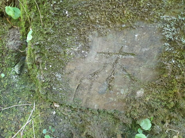
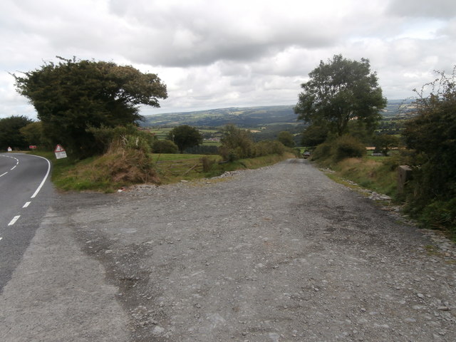
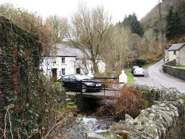
Penboyr Images
Images are sourced within 2km of 51.99786/-4.4048723 or Grid Reference SN3536. Thanks to Geograph Open Source API. All images are credited.


Penboyr is located at Grid Ref: SN3536 (Lat: 51.99786, Lng: -4.4048723)
Unitary Authority: Carmarthenshire
Police Authority: Dyfed Powys
Also known as: Pen-boyr
What 3 Words
///bordering.rolled.conned. Near Newcastle Emlyn, Ceredigion
Nearby Locations
Related Wikis

Penboyr
Penboyr is a hamlet in the county of Carmarthenshire, Wales consisting of a number of houses, smallholdings, farms and a church. == About == "This is a...
Cwmpengraig
Cwmpengraig is a rural hamlet in Carmarthenshire, Wales, located in the Teifi Valley approximately 1.5 miles (2.4 km) from the village of Dre-fach Felindre...

Cwmhiraeth
Cwmhiraeth is a hamlet in Carmarthenshire, Wales, contained in the Dre-fach Felindre district. While the name has no exact meaning in English, it can be...

Caeau Nantsais
Caeau Nantsais are two fields next to a that are a Site of Special Scientific Interest in Carmarthen & Dinefwr, Wales. == See also == List of Sites of...
Nearby Amenities
Located within 500m of 51.99786,-4.4048723Have you been to Penboyr?
Leave your review of Penboyr below (or comments, questions and feedback).