Allt Newydd
Wood, Forest in Carmarthenshire
Wales
Allt Newydd
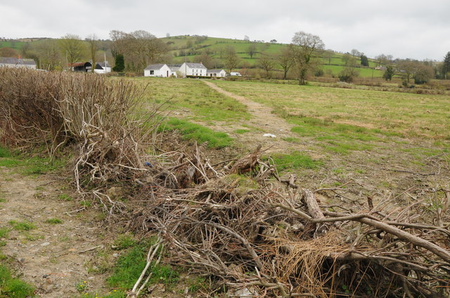
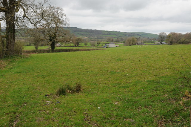
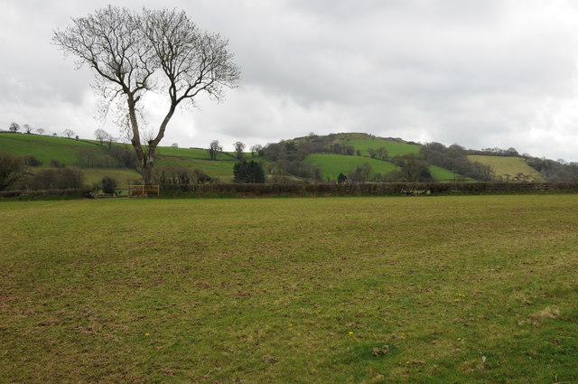
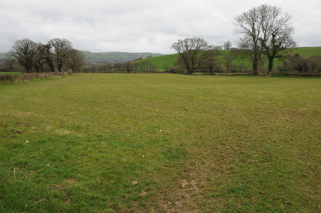
Allt Newydd is a wood located in Carmarthenshire, Wales. It is situated in a rural area, surrounded by rolling hills and picturesque landscapes. Covering an area of approximately 100 acres, Allt Newydd is a haven for nature lovers and outdoor enthusiasts.
The wood is predominantly made up of native broadleaf trees such as oak, beech, and ash, creating a diverse and vibrant ecosystem. The canopy of the wood provides a habitat for various bird species, including woodpeckers, owls, and thrushes. Small mammals such as squirrels, rabbits, and foxes can also be spotted in the wood.
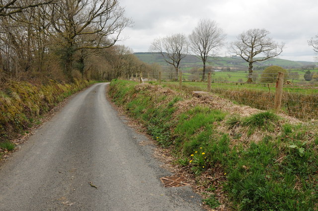
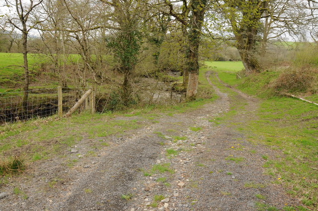
A network of well-maintained footpaths winds through the wood, allowing visitors to explore its natural beauty. These paths lead to scenic viewpoints, offering breathtaking vistas of the surrounding countryside. The wood is a popular spot for walking, jogging, and cycling, attracting both locals and tourists alike.
Allt Newydd is managed by the local authorities, who ensure its conservation and protection. They actively work to maintain the biodiversity of the wood, planting new trees and controlling invasive species. The wood also serves as an educational resource, with guided tours and workshops organized for schools and community groups.
With its tranquil atmosphere and stunning scenery, Allt Newydd offers a peaceful retreat for those seeking solace in nature. Whether it's a leisurely stroll, a picnic amidst the trees, or birdwatching, this wood provides an opportunity to connect with the natural world and appreciate the beauty of Carmarthenshire's woodlands.
If you have any feedback on the listing, please let us know in the comments section below.
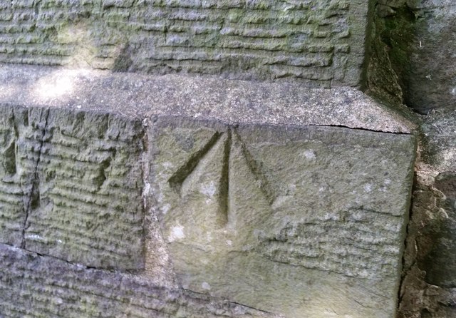
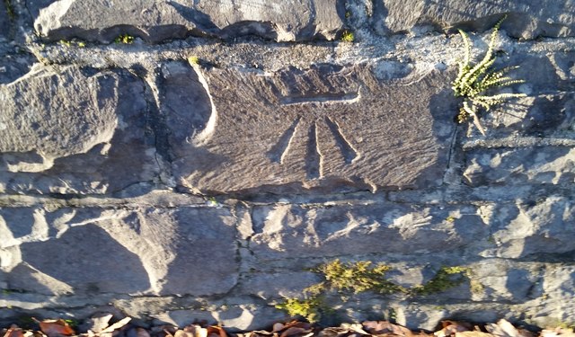
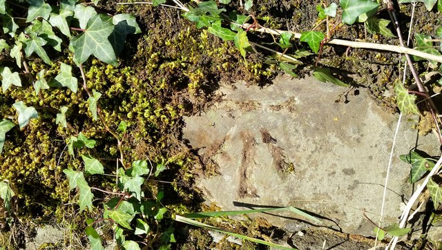
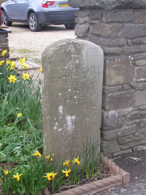
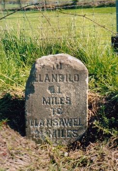
Allt Newydd Images
Images are sourced within 2km of 52.010676/-3.9642864 or Grid Reference SN6536. Thanks to Geograph Open Source API. All images are credited.
Allt Newydd is located at Grid Ref: SN6536 (Lat: 52.010676, Lng: -3.9642864)
Unitary Authority: Carmarthenshire
Police Authority: Dyfed Powys
What 3 Words
///ended.vans.passing. Near Llansawel, Carmarthenshire
Nearby Locations
Related Wikis

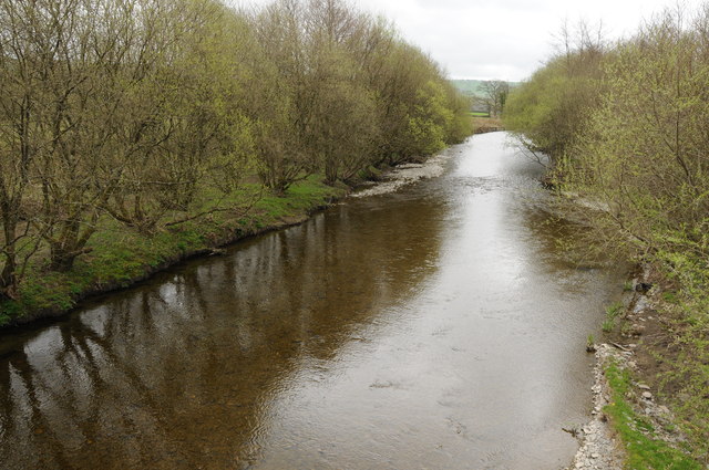
Afon Annell
Afon Annell (River Annell) is a small river in Carmarthenshire, Wales. It is a tributary of the Afon Cothi.Some of the waters of the Annell were previously...

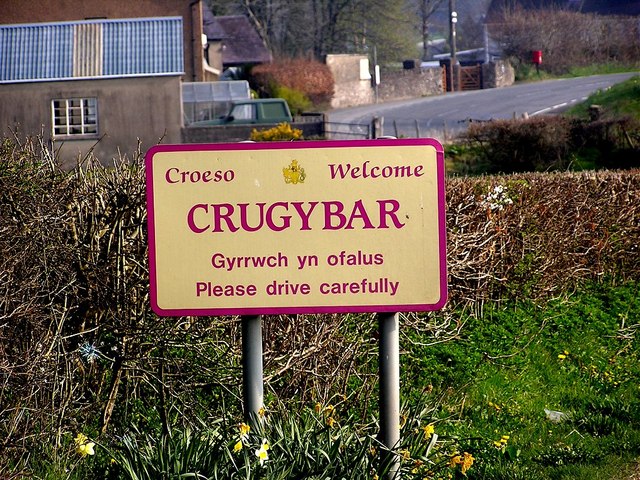
Crugybar
Crugybar is a village in Carmarthenshire, Wales, located between Talley and Pumsaint. It is roughly of equal distance from Lampeter, Llandovery and Llandeilo...

Edwinsford
Edwinsford is a small hamlet situated about the historic Edwinsford Estate and fishery on the river Cothi, a tributary of the River Tywi, in Carmarthenshire...
Llansawel
Llansawel is a village and community in Carmarthenshire, Wales, about ten miles north of Llandeilo. It covers an area of 4,079 hectares (15.75 sq mi)....
Llansawel transmitting station
The Llansawel television relay station is sited on high ground to the north of the village of Llansawel in Carmarthenshire, South Wales. It was originally...
Talley transmitting station
The Talley television relay station is sited on high ground to the north of the village of Talley in Carmarthenshire. It was originally built in 1986 as...

Luentinum
Luentinum or Loventium refers to the Roman fort at Pumsaint, Carmarthenshire. The 1.9 hectares (4.7 acres) site lies either side of the A482 in Pumsaint...

Talley Lakes
Upper Talley Lake (Welsh: Llyn Talyllychau Uchaf) and Lower Talley Lake (Welsh: Llyn Talyllychau Isaf) are two small lakes immediately north of the village...
Nearby Amenities
Located within 500m of 52.010676,-3.9642864Have you been to Allt Newydd?
Leave your review of Allt Newydd below (or comments, questions and feedback).