Turner Wood
Wood, Forest in Carmarthenshire
Wales
Turner Wood
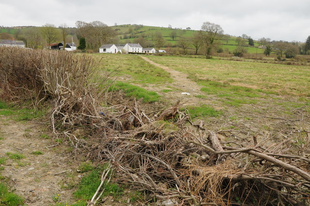
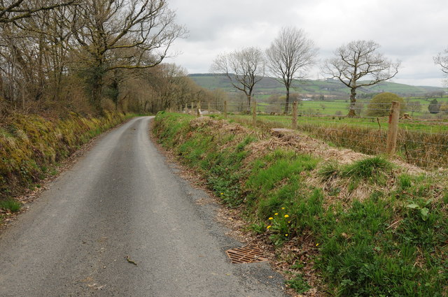
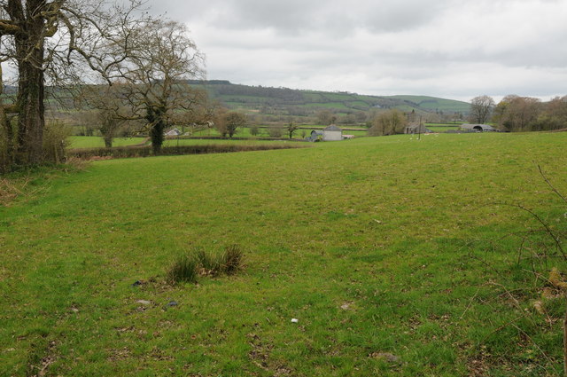
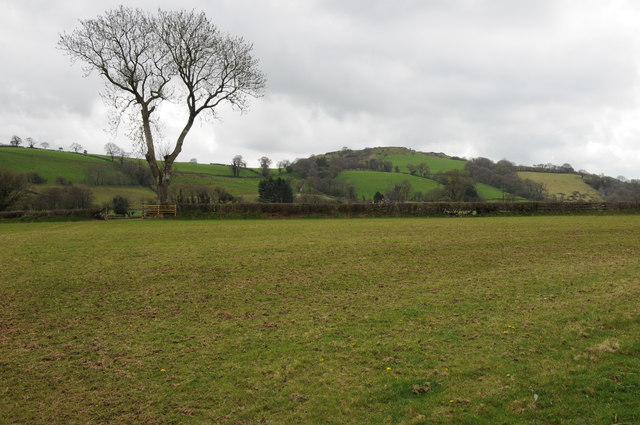
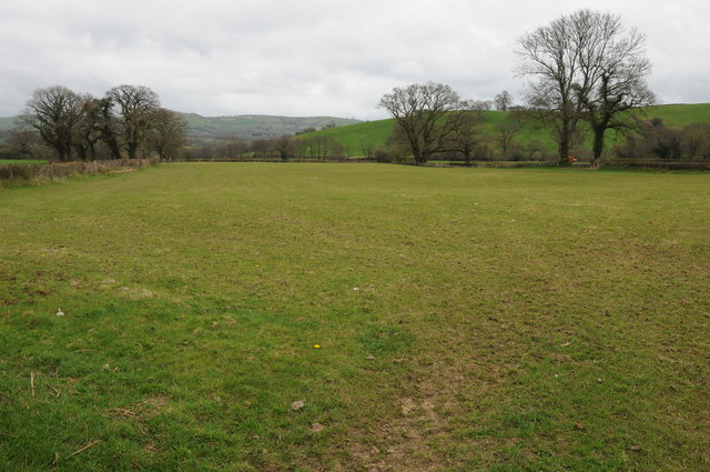
Turner Wood is a picturesque forest located in Carmarthenshire, Wales. Covering an area of approximately 100 acres, this woodland is a haven for nature enthusiasts and outdoor adventurers alike.
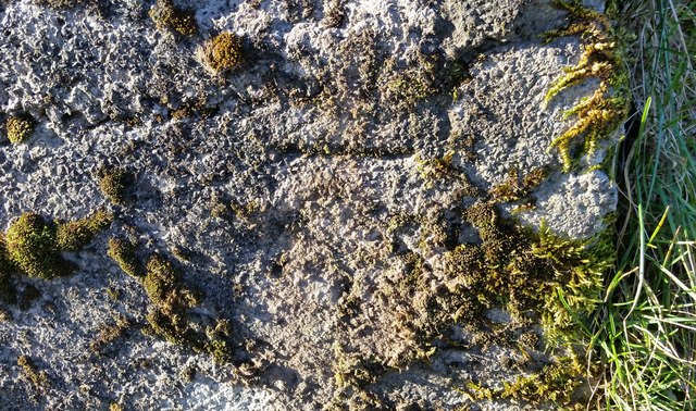
The forest is predominantly composed of deciduous trees, including oak, beech, and birch, which create a stunning canopy of vibrant colors during the autumn months. Lush vegetation carpets the forest floor, providing a habitat for a diverse range of flora and fauna. Squirrels, rabbits, and a variety of bird species can often be spotted darting amongst the trees.
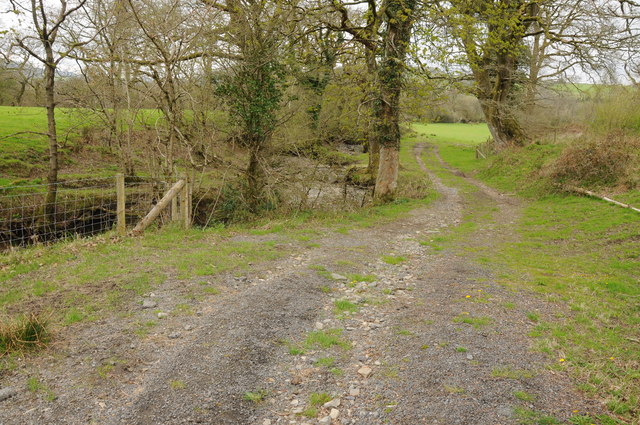
Tranquil walking trails wind their way through Turner Wood, offering visitors the opportunity to explore the forest's natural beauty. These paths are well-maintained and suitable for all levels of fitness, making it an ideal destination for families and individuals seeking relaxation or exercise in a peaceful environment.
One of the notable features of Turner Wood is its ancient oak trees, some of which are believed to be several hundred years old. These majestic giants add a sense of history and grandeur to the woodland, providing a glimpse into the past and a reminder of the importance of preserving such natural treasures.
In addition to its natural attractions, Turner Wood boasts a small picnic area where visitors can enjoy a leisurely lunch surrounded by the sights and sounds of nature. The forest also serves as a popular spot for birdwatching and photography, attracting enthusiasts from near and far.
Overall, Turner Wood is a hidden gem in Carmarthenshire, offering a serene escape from the hustle and bustle of everyday life. With its stunning scenery, diverse wildlife, and peaceful atmosphere, it is a must-visit destination for anyone seeking a connection with nature.
If you have any feedback on the listing, please let us know in the comments section below.
Turner Wood Images
Images are sourced within 2km of 52.008525/-3.9622105 or Grid Reference SN6536. Thanks to Geograph Open Source API. All images are credited.


Turner Wood is located at Grid Ref: SN6536 (Lat: 52.008525, Lng: -3.9622105)
Unitary Authority: Carmarthenshire
Police Authority: Dyfed Powys
What 3 Words
///wounds.unroll.centuries. Near Llansawel, Carmarthenshire
Nearby Locations
Related Wikis

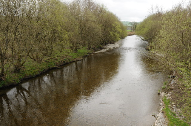
Afon Annell
Afon Annell (River Annell) is a small river in Carmarthenshire, Wales. It is a tributary of the Afon Cothi.Some of the waters of the Annell were previously...

Crugybar
Crugybar is a village in Carmarthenshire, Wales, located between Talley and Pumsaint. It is roughly of equal distance from Lampeter, Llandovery and Llandeilo...

Edwinsford
Edwinsford is a small hamlet situated about the historic Edwinsford Estate and fishery on the river Cothi, a tributary of the River Tywi, in Carmarthenshire...
Talley transmitting station
The Talley television relay station is sited on high ground to the north of the village of Talley in Carmarthenshire. It was originally built in 1986 as...
Nearby Amenities
Located within 500m of 52.008525,-3.9622105Have you been to Turner Wood?
Leave your review of Turner Wood below (or comments, questions and feedback).