Coed Tyn-fron Llanddwy

Wood, Forest in Cardiganshire

Wales

Coed Tyn-fron Llanddwy

Fields west of Cnwch Coch Enclosed grazing to the west of the village of Cnwch Coch.  The nameless stream running in the wooded ditch on the left soon joins the Nant Magwr, a tributary of the Afon Ystwyth.
Fields west of Cnwch Coch Credit: Rudi Winter

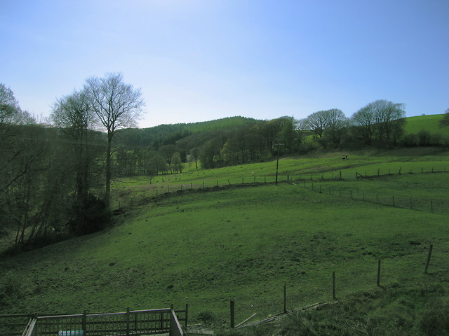
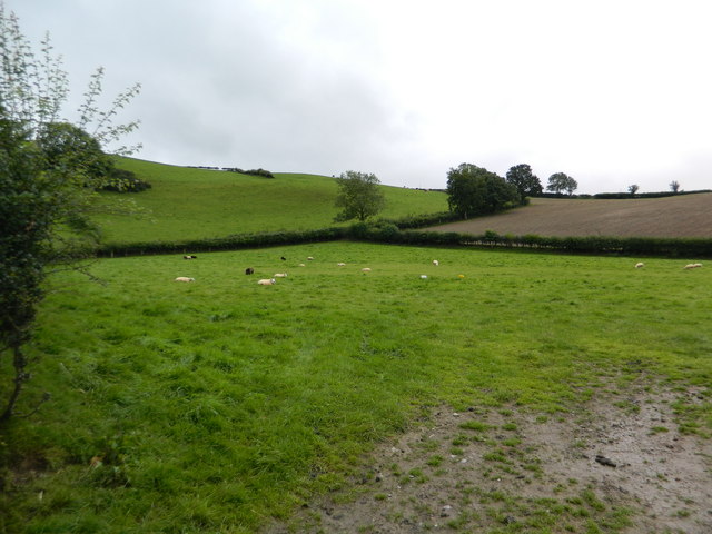
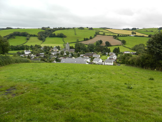
Coed Tyn-fron Llanddwy, located in Cardiganshire, is a picturesque wood or forest known for its natural beauty and rich biodiversity. Covering an area of approximately [insert size], it is a popular destination for nature lovers, hikers, and wildlife enthusiasts.

The woodland is characterized by a mix of deciduous and coniferous trees, creating a diverse habitat for a wide range of plant and animal species. Visitors can explore the enchanting trails that wind through the forest, offering breathtaking views of the surrounding countryside.

The wood is home to various native tree species such as oak, beech, birch, and pine, which provide shelter and food for numerous bird species, including woodpeckers, owls, and finches. The forest floor is adorned with a carpet of wildflowers during springtime, adding a burst of color to the natural landscape.

Coed Tyn-fron Llanddwy also boasts a diverse range of wildlife. It is not uncommon to spot mammals like red squirrels, foxes, badgers, and deer while traversing the trails. The forest is also a haven for smaller creatures such as rabbits, hedgehogs, and a variety of insects.

Nature conservation efforts have been put in place to protect and preserve the woodland, ensuring its sustainability for future generations. The management of the wood focuses on maintaining a healthy ecosystem, controlling invasive species, and promoting sustainable forestry practices.

Overall, Coed Tyn-fron Llanddwy offers a tranquil and immersive experience in the heart of Cardiganshire, allowing visitors to connect with nature and appreciate the wonders of the Welsh countryside.

If you have any feedback on the listing, please let us know in the comments section below.

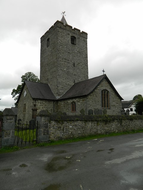
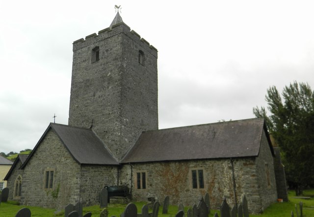
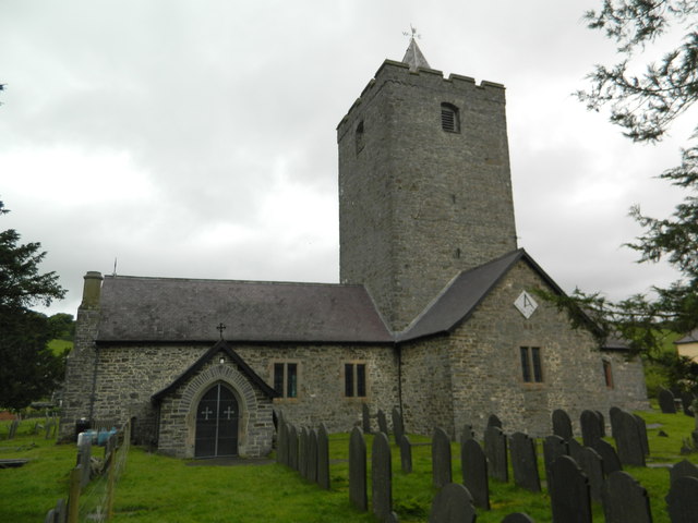
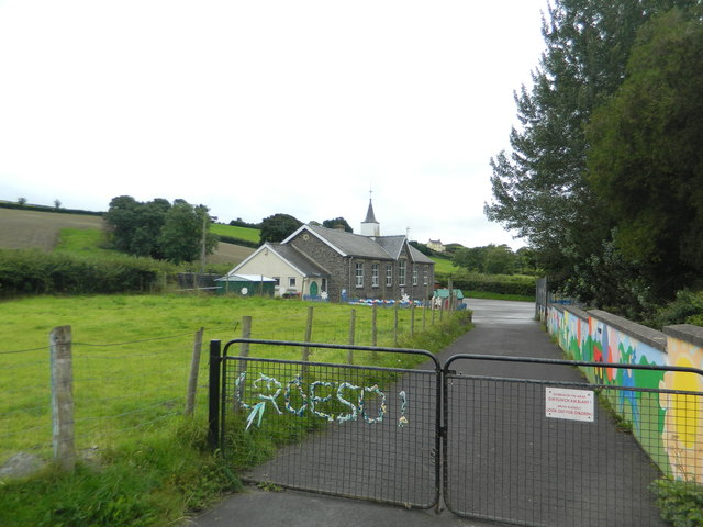
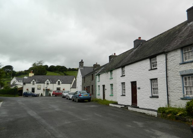
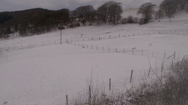
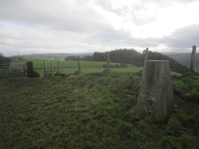
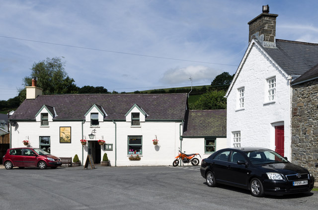
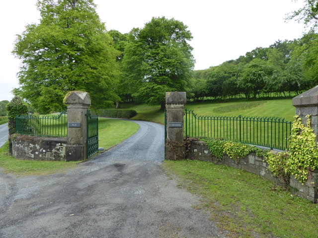
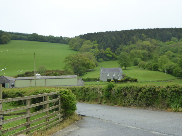
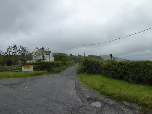
Coed Tyn-fron Llanddwy Images

Images are sourced within 2km of 52.354252/-3.9781246 or Grid Reference SN6574. Thanks to Geograph Open Source API. All images are credited.

Fields west of Cnwch Coch Enclosed grazing to the west of the village of Cnwch Coch.  The nameless stream running in the wooded ditch on the left soon joins the Nant Magwr, a tributary of the Afon Ystwyth.
Fields west of Cnwch Coch
Enclosed grazing to the west of the village of Cnwch Coch. The nameless stream running in the wooded ditch on the left soon joins the Nant Magwr, a tributary of the Afon Ystwyth.
Pasture south of Llanfihangel-y-Creuddyn
Looking down on Llanfihangel-y-Creuddyn
The village centre, Llanfihangel-y-Creuddyn
The Church of St Michael, Llanfihangel-y-Creuddyn Mihangel is the Welsh form of Michael, and the M mutates to an F after the Llan.(Compare the very common Llanfair, where Fair is a mutated form of Mair, i.e. Mary.)
The Church of St Michael, Llanfihangel-y-Creuddyn
Mihangel is the Welsh form of Michael, and the M mutates to an F after the Llan.(Compare the very common Llanfair, where Fair is a mutated form of Mair, i.e. Mary.)
The Church of St Michael, Llanfihangel-y-Creuddyn
The school, Llanfihangel-y-Creuddyn
The village centre, Llanfihangel-y-Creuddyn The building at the far side is the pub, "Y Ffarmers".(See advert on <a href="https://www.geograph.org.uk/photo/3089739">SN6677 : The roads to New Cross and Llanfihangel-y-Creuddyn</a>)
The village centre, Llanfihangel-y-Creuddyn
The building at the far side is the pub, "Y Ffarmers".(See advert on SN6677 : The roads to New Cross and Llanfihangel-y-Creuddyn)
Snowy fields, Cnwch Coch Heavy snow had been forecast for the night, but most of it ended up in southeast Wales.  North Ceredigion got all the fun but little of the worry.
Snowy fields, Cnwch Coch
Heavy snow had been forecast for the night, but most of it ended up in southeast Wales. North Ceredigion got all the fun but little of the worry.
Triangulation Pillar (S5446) Pen-Lan-Isaf 3rd Order Triangulation Point carries Flush bracket S5446. The pillar stands at 182m,
Triangulation Pillar (S5446)
Pen-Lan-Isaf 3rd Order Triangulation Point carries Flush bracket S5446. The pillar stands at 182m,
Y Ffarmers Pub in Llanfihangel y Creuddyn.
Y Ffarmers
Pub in Llanfihangel y Creuddyn.
Llanfihangel y Creuddyn Row of 19th century cottages opposite the church in Llanfihangel y Creuddyn.

Nearest house - not identified.

Then (all grade II listed): 
Creuddyn Villa (unpainted) - see <span class="nowrap"><a title="http://cadwpublic-api.azurewebsites.net/reports/listedbuilding/FullReport?lang=en&id=2855" rel="nofollow ugc noopener" href="http://cadwpublic-api.azurewebsites.net/reports/listedbuilding/FullReport?lang=en&id=2855">Link</a><img style="margin-left:2px;" alt="External link" title="External link - shift click to open in new window" src="https://s1.geograph.org.uk/img/external.png" width="10" height="10"/></span>
Cartref (with the following two, Ceunant House and Llwyn, making up the  whitewashed terrace) - see <span class="nowrap"><a title="http://cadwpublic-api.azurewebsites.net/reports/listedbuilding/FullReport?lang=en&id=9852" rel="nofollow ugc noopener" href="http://cadwpublic-api.azurewebsites.net/reports/listedbuilding/FullReport?lang=en&id=9852">Link</a><img style="margin-left:2px;" alt="External link" title="External link - shift click to open in new window" src="https://s1.geograph.org.uk/img/external.png" width="10" height="10"/></span>
<span class="nowrap"><a title="http://cadwpublic-api.azurewebsites.net/reports/listedbuilding/FullReport?lang=en&id=9853" rel="nofollow ugc noopener" href="http://cadwpublic-api.azurewebsites.net/reports/listedbuilding/FullReport?lang=en&id=9853">Link</a><img style="margin-left:2px;" alt="External link" title="External link - shift click to open in new window" src="https://s1.geograph.org.uk/img/external.png" width="10" height="10"/></span>
<span class="nowrap"><a title="http://cadwpublic-api.azurewebsites.net/reports/listedbuilding/FullReport?lang=en&id=9856" rel="nofollow ugc noopener" href="http://cadwpublic-api.azurewebsites.net/reports/listedbuilding/FullReport?lang=en&id=9856">Link</a><img style="margin-left:2px;" alt="External link" title="External link - shift click to open in new window" src="https://s1.geograph.org.uk/img/external.png" width="10" height="10"/></span>.

Beyond and separate is Lisburne House, dating from the late 18th/early 19th century and also grade II listed - see <span class="nowrap"><a title="http://cadwpublic-api.azurewebsites.net/reports/listedbuilding/FullReport?lang=en&id=9851" rel="nofollow ugc noopener" href="http://cadwpublic-api.azurewebsites.net/reports/listedbuilding/FullReport?lang=en&id=9851">Link</a><img style="margin-left:2px;" alt="External link" title="External link - shift click to open in new window" src="https://s1.geograph.org.uk/img/external.png" width="10" height="10"/></span>.
Llanfihangel y Creuddyn
Row of 19th century cottages opposite the church in Llanfihangel y Creuddyn. Nearest house - not identified. Then (all grade II listed): Creuddyn Villa (unpainted) - see LinkExternal link Cartref (with the following two, Ceunant House and Llwyn, making up the whitewashed terrace) - see LinkExternal link LinkExternal link LinkExternal link. Beyond and separate is Lisburne House, dating from the late 18th/early 19th century and also grade II listed - see LinkExternal link.
Plas Llidiardau gateway The country house Llidiardau is situated on S side of the Ystwyth valley some 1.5km ESE of Llanilar.
Plas Llidiardau gateway
The country house Llidiardau is situated on S side of the Ystwyth valley some 1.5km ESE of Llanilar.
Tynyberllan, near Crosswood A farm just off the B4575
Tynyberllan, near Crosswood
A farm just off the B4575
Ystwyth Trail near Crosswood The Ystwyth Trail is a 32.1km/20M footpath and cycle route linking Tregaron and Aberystwyth. Part of the trail follows the track of the old Great Western Railway line. Here is where it crosses the B7545
Ystwyth Trail near Crosswood
The Ystwyth Trail is a 32.1km/20M footpath and cycle route linking Tregaron and Aberystwyth. Part of the trail follows the track of the old Great Western Railway line. Here is where it crosses the B7545
Fferm Trawscoed/Trawscoed Farm This is an research farm run by the Institute of Biological, Environmental and Rural Sciences of Aberystwyth University
Fferm Trawscoed/Trawscoed Farm
This is an research farm run by the Institute of Biological, Environmental and Rural Sciences of Aberystwyth University
Llanfihangel y Creduddyn Primary School The primary school has been teaching pupils in the same four walls since its launch during the year of Queen Victoria’s coronation. It celebrated its 175th anniversary in 2013.
Llanfihangel y Creduddyn Primary School
The primary school has been teaching pupils in the same four walls since its launch during the year of Queen Victoria’s coronation. It celebrated its 175th anniversary in 2013.
Show me another place!

Coed Tyn-fron Llanddwy is located at Grid Ref: SN6574 (Lat: 52.354252, Lng: -3.9781246)

Unitary Authority: Ceredigion

Police Authority: Dyfed Powys

What 3 Words

///snowballs.hulk.levels. Near Llanilar, Ceredigion

Related Wikis

Felindyffryn Halt railway station

Felindyffryn Halt was located on the Carmarthen to Aberystwyth Line, originally called the Manchester and Milford Railway, before being transferred to...

Coed y Crychydd

Coed y Crychydd is a Site of Special Scientific Interest in Ceredigion, west Wales. It is a moderately steep, north facing wood, featuring mainly ancient...

Banc-y-môr

Banc-y-môr is a small village in the community of Trawsgoed, Ceredigion, Wales, which is 69.4 miles (111.6 km) from Cardiff and 173.5 miles (279.1 km...

Abermagwr

Abermagwr is a small settlement in the county of Ceredigion, Wales. It is on the B4340 road and is 11 kilometres (7 mi) southeast of the town of Aberystwyth...

Llanfihangel y Creuddyn

Llanfihangel-y-Creuddyn (Welsh: [ɬanvɪˈhaŋɛl ɨ ˈkrɛɨðɨn] ) is an ancient parish in the upper division of the hundred of Ilar, Ceredigion, West Wales, 7...

Creuddyn, Ceredigion

Creuddyn was a medieval commote (cwmwd) and, later, a lordship in Ceredigion, Wales. It was located between the rivers Ystwyth and Rheidol, and was one...

Trawsgoed

Trawsgoed (Welsh for "Crosswood") is both a community and an estate in Ceredigion, Wales. The estate is 8 miles (13 km) southeast of Aberystwyth, and has...

Hendre-Rhys

Hendre-Rhys is a small village in the community of Trawsgoed, Ceredigion, Wales, which is 67.8 miles (109.2 km) from Cardiff and 173 miles (278.4 km)...

Nearby Amenities

Located within 500m of 52.354252,-3.9781246
Source: npe
Lat/Long: 52.3515694/-3.9830753
Source: npe
Lat/Long: 52.3519283/-3.9810739
Source: npe
Lat/Long: 52.3506411/-3.9764217
Power: pole
Lat/Long: 52.3520497/-3.9749857
Power: pole
Lat/Long: 52.3529049/-3.9745001
Power: pole
Lat/Long: 52.3547512/-3.9734836
Power: pole
Lat/Long: 52.3500214/-3.9760854
Power: pole
Lat/Long: 52.3557013/-3.9729686
Power: pole
Lat/Long: 52.3541303/-3.9738269
Felindyffryn
Historic Railway: halt
Railway: site
Wikidata: Q5441900
Wikipedia: en:Felindyffryn Halt railway station
Lat/Long: 52.3510084/-3.9812901
The data included in this document is from www.openstreetmap.org. The data is made available under ODbL.

Have you been to Coed Tyn-fron Llanddwy?

Leave your review of Coed Tyn-fron Llanddwy below (or comments, questions and feedback).