Coed Ysgubor-wen
Wood, Forest in Merionethshire
Wales
Coed Ysgubor-wen
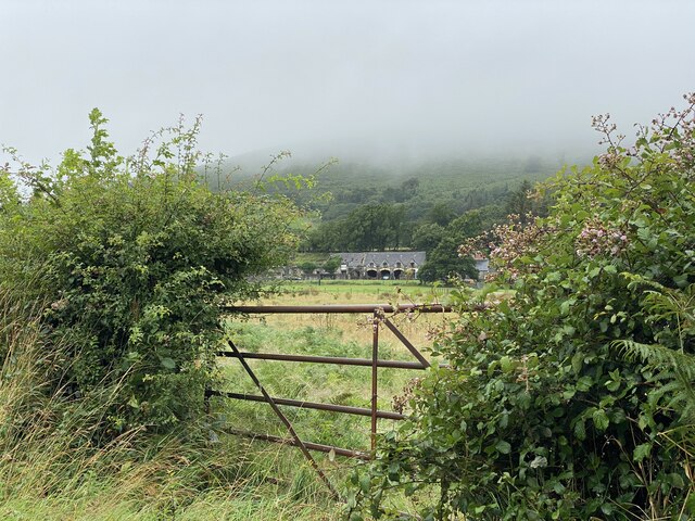
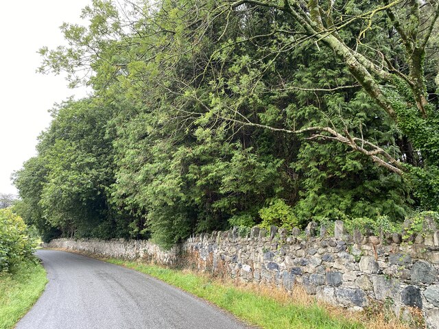
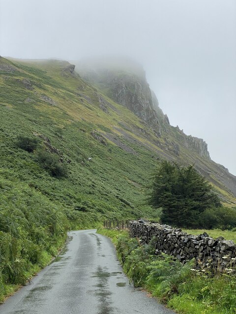
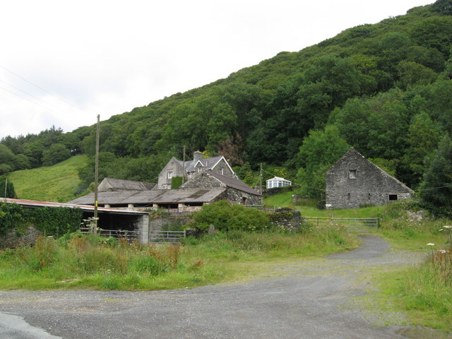
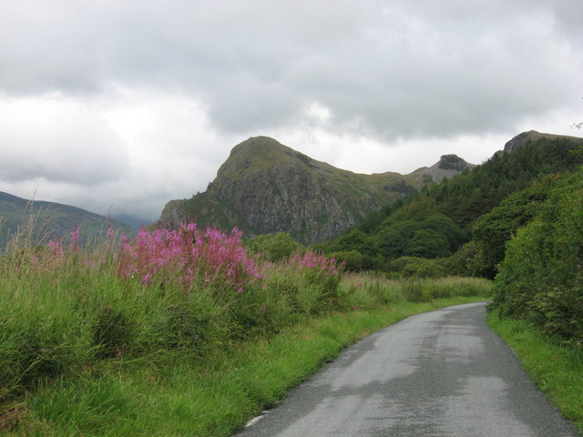
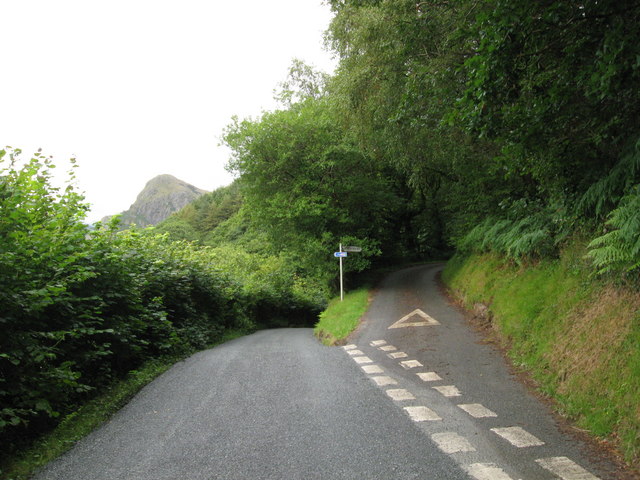
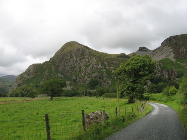
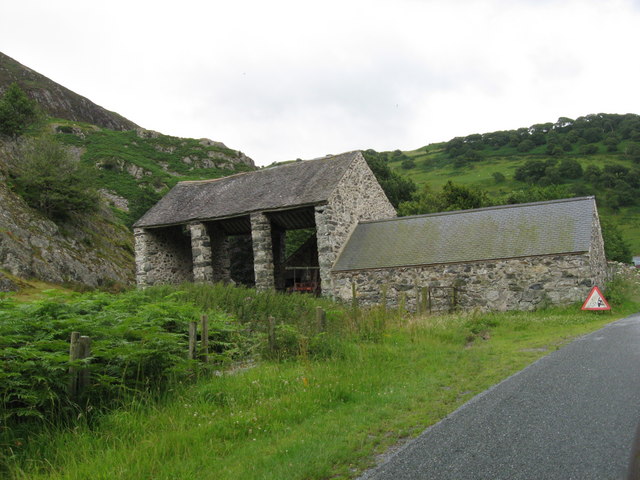
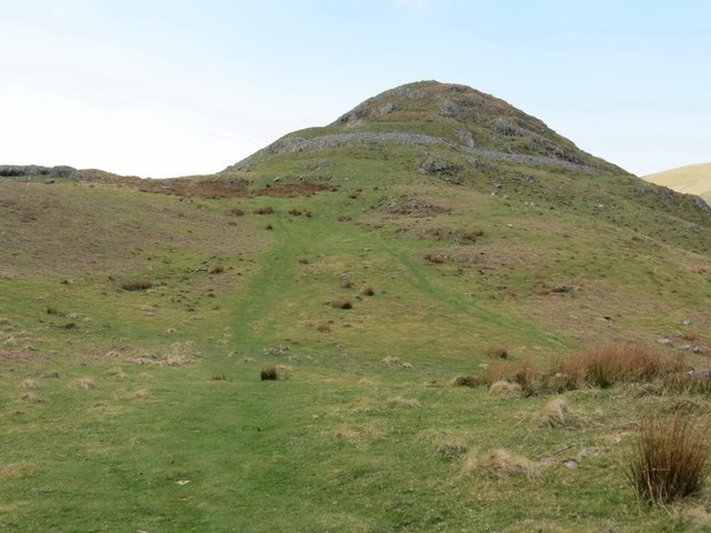
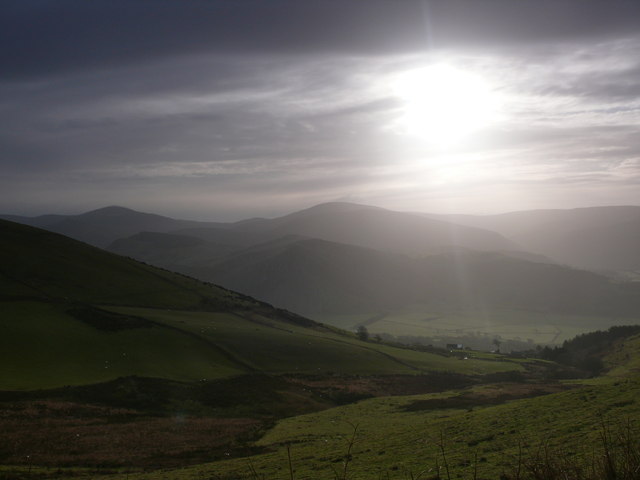
Coed Ysgubor-wen, located in Merionethshire, is a picturesque woodland area known for its natural beauty and rich biodiversity. Covering a vast expanse of land, it is home to a diverse range of flora and fauna, making it an ideal destination for nature enthusiasts and hikers.
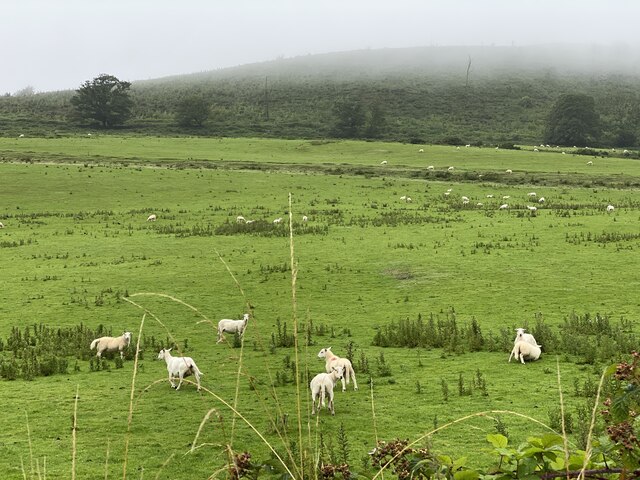
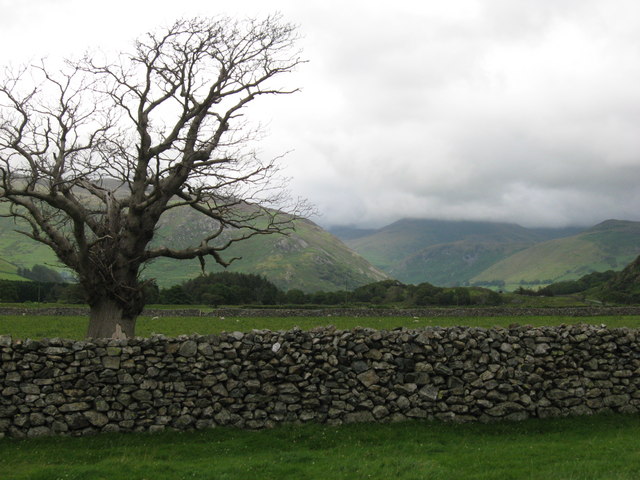
The woodland is characterized by its dense canopy of trees, mainly consisting of oak, beech, and coniferous species. These towering trees provide a habitat for a variety of wildlife, including birds, mammals, and insects. Visitors to Coed Ysgubor-wen can spot species such as red squirrels, badgers, and numerous bird species, including woodpeckers and buzzards.
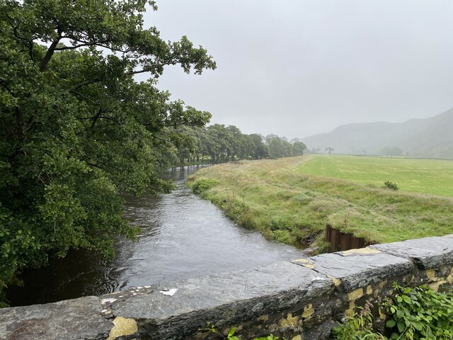
Tranquil streams and small rivers meander through the woodland, adding to its serene ambiance. These water bodies support a thriving ecosystem, and visitors may even be lucky enough to spot otters or kingfishers along the banks.
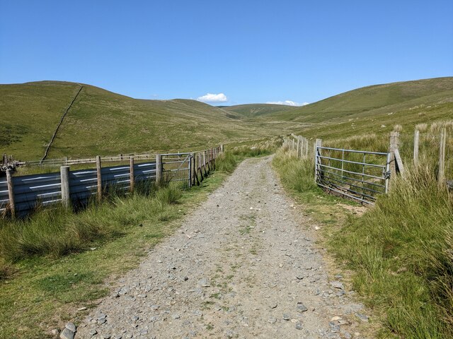
Coed Ysgubor-wen offers a network of well-maintained trails, allowing visitors to explore the woodland at their own pace. These paths vary in difficulty, catering to both experienced hikers and casual walkers. Along the trails, there are designated picnic areas and viewpoints, providing opportunities to rest and admire the breathtaking scenery.
The woodland is managed by local conservation organizations, who work tirelessly to preserve its natural beauty and protect its inhabitants. Conservation activities include tree planting, invasive species management, and habitat restoration, ensuring that Coed Ysgubor-wen remains a haven for wildlife for generations to come.
In conclusion, Coed Ysgubor-wen, with its diverse flora and fauna, scenic trails, and serene atmosphere, is a must-visit destination for nature lovers and those seeking tranquility amidst nature's splendor.
If you have any feedback on the listing, please let us know in the comments section below.
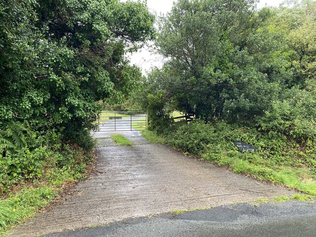
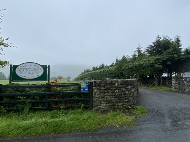
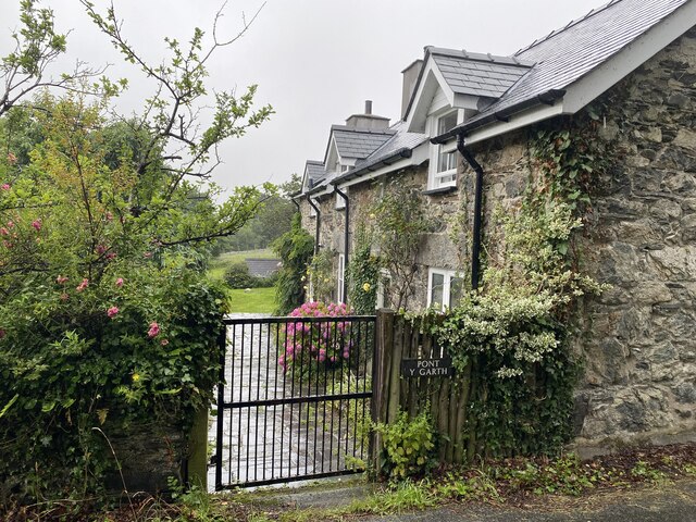
Coed Ysgubor-wen Images
Images are sourced within 2km of 52.642403/-4.0303641 or Grid Reference SH6206. Thanks to Geograph Open Source API. All images are credited.

Coed Ysgubor-wen is located at Grid Ref: SH6206 (Lat: 52.642403, Lng: -4.0303641)
Unitary Authority: Gwynedd
Police Authority: North Wales
What 3 Words
///kilt.cabinets.removers. Near Tywyn, Gwynedd
Nearby Locations
Related Wikis

Craig yr Aderyn
Craig yr Aderyn, also known as Bird's Rock, is a hill rising to a height of 258 metres (846 ft) above sea level on the south bank of the River Dysynni...

Peniarth
Peniarth is a village in the community of Meifod, Powys, Wales. It is 87.1 miles (140.2 km) from Cardiff and 156.9 miles (252.5 km) from London. It is...

Abertrinant
Abertrinant is a small settlement in Gwynedd, Wales. It is 7 kilometres (4 mi) northeast of the town of Tywyn. == External links == www.geograph.co.uk...

Llanegryn
Llanegryn is a village and a community in Gwynedd, north-west Wales. It was formerly part of the historic county of Merionethshire (Welsh: Meirionnydd...
Nearby Amenities
Located within 500m of 52.642403,-4.0303641Have you been to Coed Ysgubor-wen?
Leave your review of Coed Ysgubor-wen below (or comments, questions and feedback).