Coed Cemmaes
Wood, Forest in Merionethshire
Wales
Coed Cemmaes
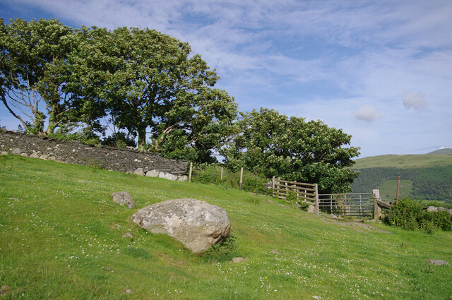
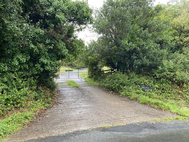
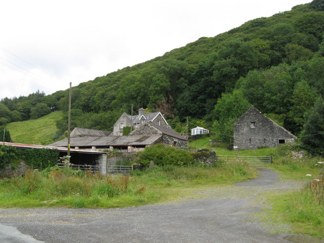
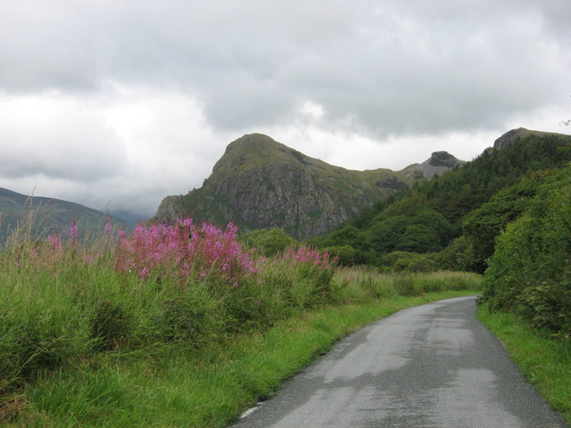
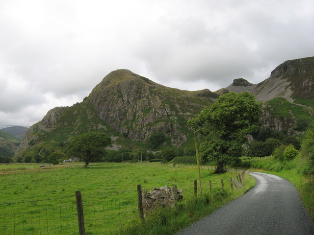
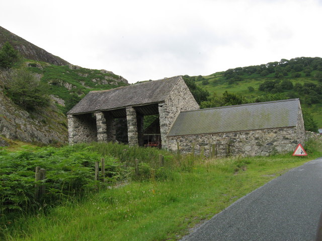
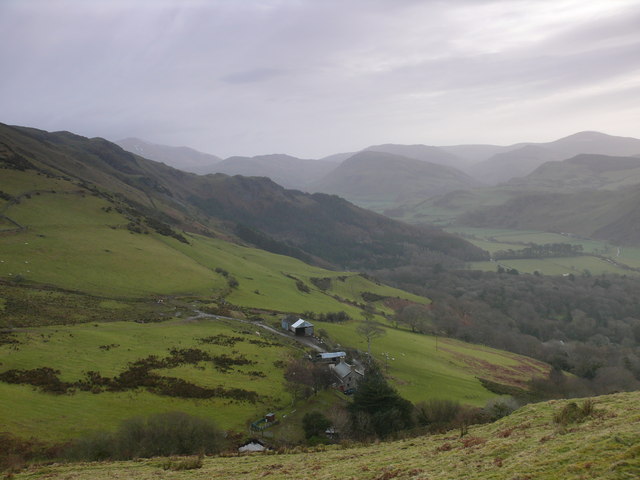
Coed Cemmaes, located in Merionethshire, Wales, is a picturesque woodland area known for its natural beauty and rich history. Covering an area of approximately 1,000 acres, this ancient forest is believed to have existed for over 1,000 years.
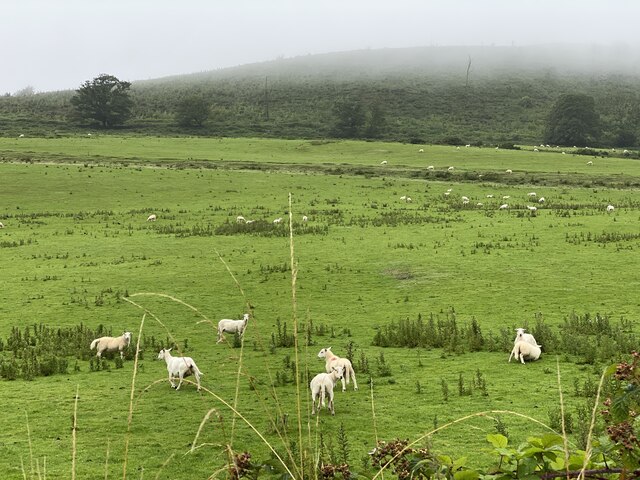
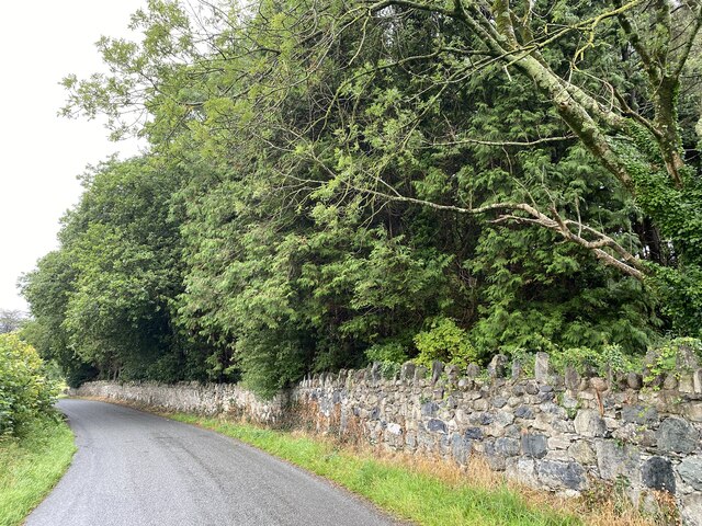
The woodland is primarily composed of native trees such as oak, beech, and birch, which create a diverse and vibrant ecosystem. The dense canopy provides a haven for various species of birds, mammals, and insects, making it a popular destination for nature enthusiasts and birdwatchers.
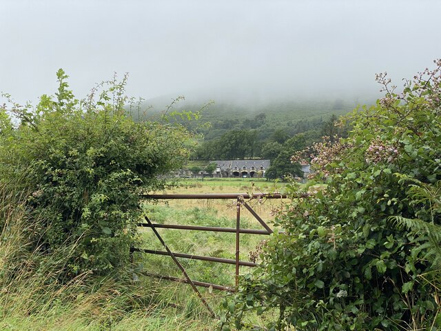
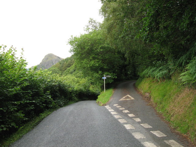
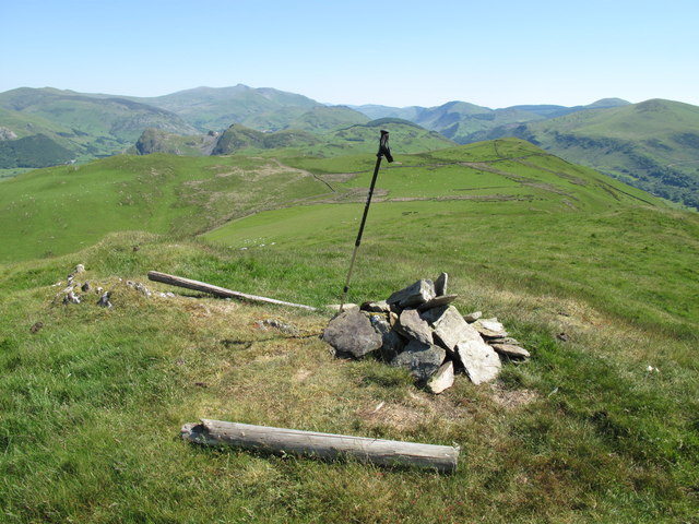
Coed Cemmaes is also home to several walking trails and footpaths, allowing visitors to explore the forest and soak in its peaceful ambiance. These paths offer stunning views of the surrounding countryside and afford glimpses of the diverse flora and fauna that inhabit the area.
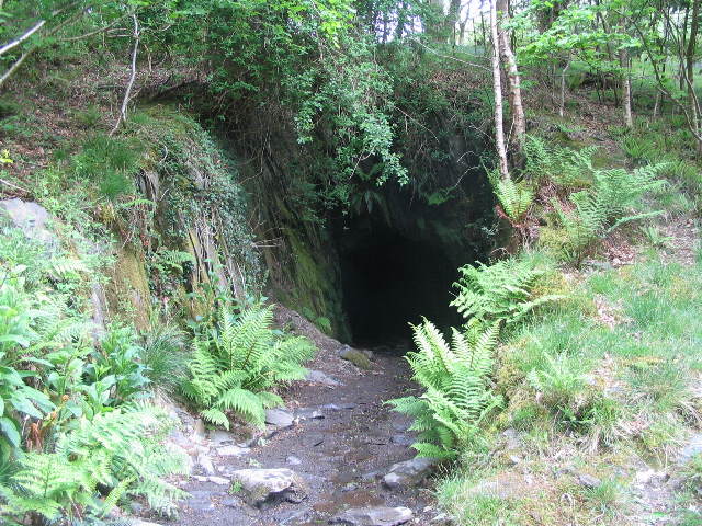
Steeped in history, Coed Cemmaes has witnessed many significant events throughout the centuries. It is believed to have been a hiding place for Welsh rebels during the Glyndwr uprising in the 1400s. Additionally, the forest has been a source of timber for local communities since medieval times.
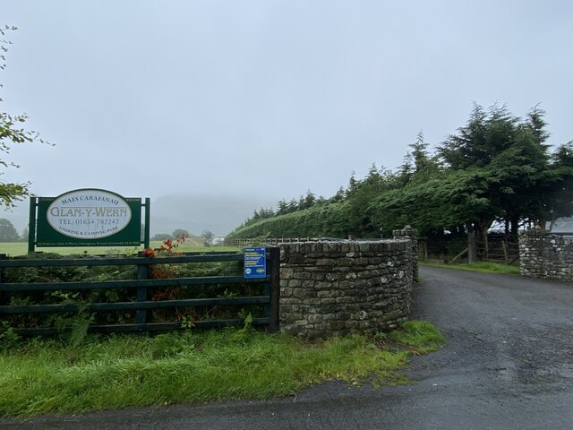
Today, Coed Cemmaes is managed by a conservation organization dedicated to protecting its natural heritage. They work to maintain the delicate balance between preserving the forest's biodiversity and allowing public access to its beauty.
Whether it's a leisurely stroll, birdwatching, or simply enjoying the tranquility of nature, Coed Cemmaes offers a unique and captivating experience for visitors seeking solace in the heart of Merionethshire's woodlands.
If you have any feedback on the listing, please let us know in the comments section below.
Coed Cemmaes Images
Images are sourced within 2km of 52.635838/-4.0361932 or Grid Reference SH6206. Thanks to Geograph Open Source API. All images are credited.


Coed Cemmaes is located at Grid Ref: SH6206 (Lat: 52.635838, Lng: -4.0361932)
Unitary Authority: Gwynedd
Police Authority: North Wales
What 3 Words
///pace.leathers.steaming. Near Tywyn, Gwynedd
Nearby Locations
Related Wikis

Peniarth
Peniarth is a village in the community of Meifod, Powys, Wales. It is 87.1 miles (140.2 km) from Cardiff and 156.9 miles (252.5 km) from London. It is...

Abertrinant
Abertrinant is a small settlement in Gwynedd, Wales. It is 7 kilometres (4 mi) northeast of the town of Tywyn. == External links == www.geograph.co.uk...

Llanegryn
Llanegryn is a village and a community in Gwynedd, north-west Wales. It was formerly part of the historic county of Merionethshire (Welsh: Meirionnydd...

Craig yr Aderyn
Craig yr Aderyn, also known as Bird's Rock, is a hill rising to a height of 258 metres (846 ft) above sea level on the south bank of the River Dysynni...
Ysgol Craig y Deryn
Ysgol Craig y Deryn is a Welsh-medium primary school in Llanegryn in Gwynedd. == General == The school is named after Craig yr Aderyn, a notable hill on...

Brynglas railway station
Brynglas railway station (also known as Bryn-glas railway station) is a request stop on the Talyllyn Railway, serving the hamlet of Pandy near Bryn-crug...

Dolgoch railway station
Dolgoch railway station (also known as Dol-goch railway station, Dol-gôch railway station, or Dolgoch Falls railway station) is a station on the Talyllyn...
Dolgoch quarry, Gwynedd
Dolgoch slate quarry (also spelt Dol-goch slate quarry or Dol-gôch slate quarry) was a slate quarry in Mid Wales, approximately halfway between Bryn-crug...
Nearby Amenities
Located within 500m of 52.635838,-4.0361932Have you been to Coed Cemmaes?
Leave your review of Coed Cemmaes below (or comments, questions and feedback).