Ty'r-gawen Bottom Wood
Wood, Forest in Merionethshire
Wales
Ty'r-gawen Bottom Wood
Ty'r-gawen Bottom Wood is a mesmerizing woodland located in Merionethshire, Wales. Spread over a vast area, this enchanting forest is a haven for nature enthusiasts and explorers alike.
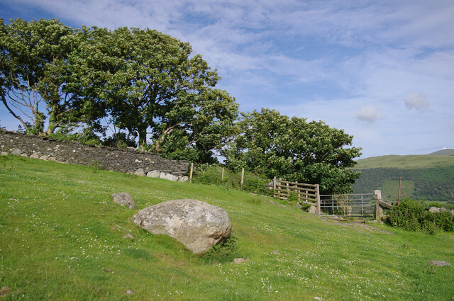
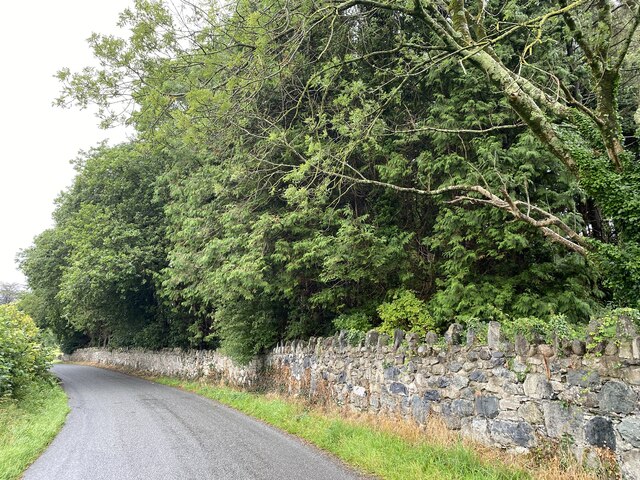
The wood is characterized by its dense canopy, consisting primarily of native broadleaf trees such as oak, beech, and ash. These towering giants, with their lush green foliage, create a serene and tranquil atmosphere that immediately captivates visitors. The forest floor is adorned with a vibrant carpet of bluebells and wildflowers during the spring, adding to its picturesque beauty.
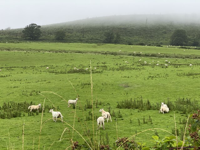
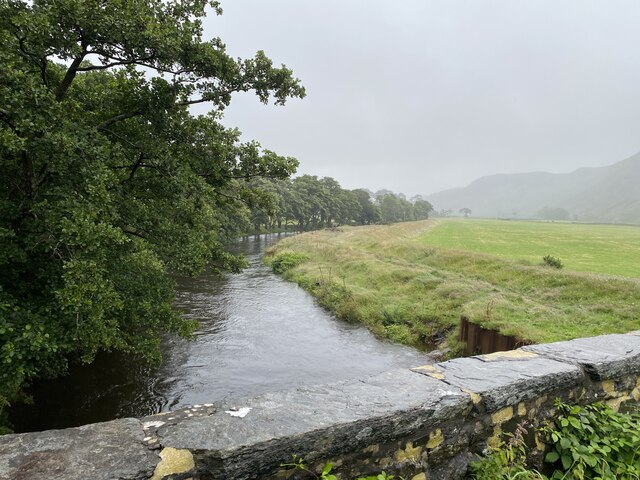
Situated in a valley, Ty'r-gawen Bottom Wood is blessed with a network of meandering streams and cascading waterfalls. These natural water features not only enhance the overall aesthetics but also provide a habitat for various aquatic species. The wood is home to an abundance of wildlife, including deer, foxes, badgers, and a myriad of bird species. Birdwatchers can spot beautiful creatures like woodpeckers, owls, and red kites in this biodiverse haven.
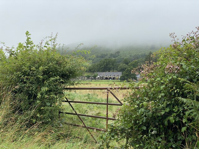
The wood offers numerous walking trails and paths, allowing visitors to explore its wonders at their own pace. These paths lead to breathtaking viewpoints, where one can marvel at the stunning vistas of the surrounding countryside. The wood is also a popular destination for outdoor activities like picnicking, photography, and nature walks.
Ty'r-gawen Bottom Wood is a treasure trove of natural beauty and biodiversity, providing an escape from the hustle and bustle of everyday life. Its serene ambiance, diverse flora and fauna, and scenic trails make it a must-visit destination for nature lovers and those seeking solace in the heart of Merionethshire.
If you have any feedback on the listing, please let us know in the comments section below.
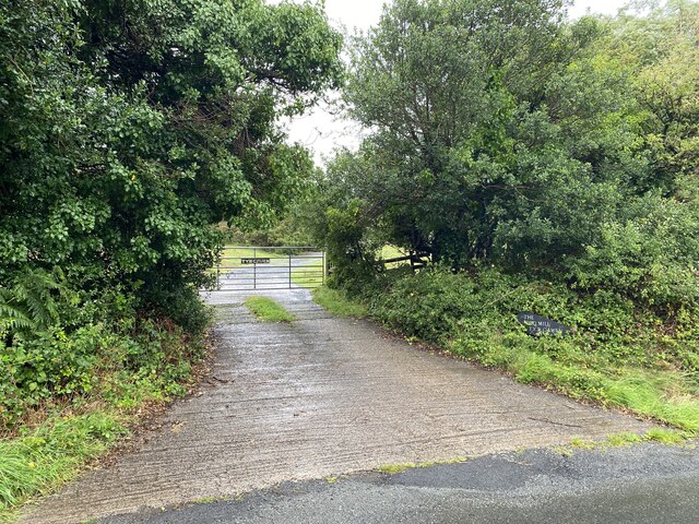
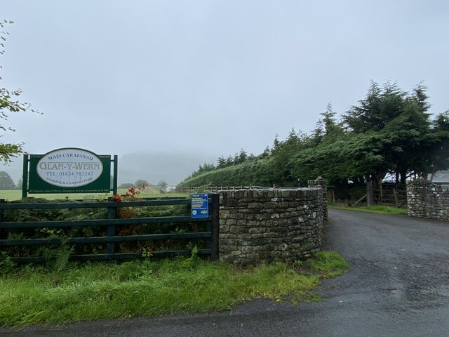
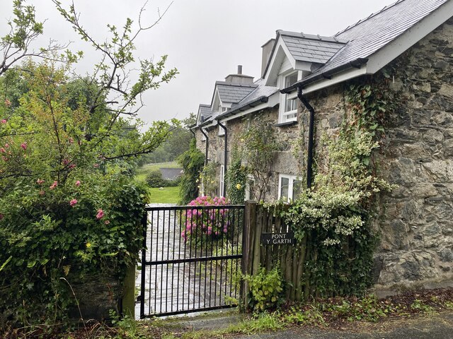
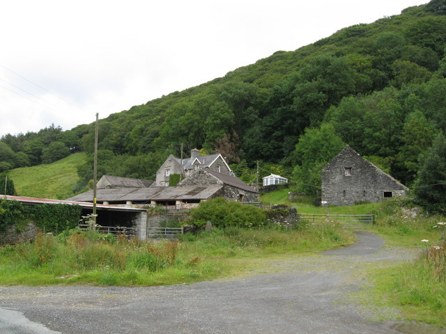
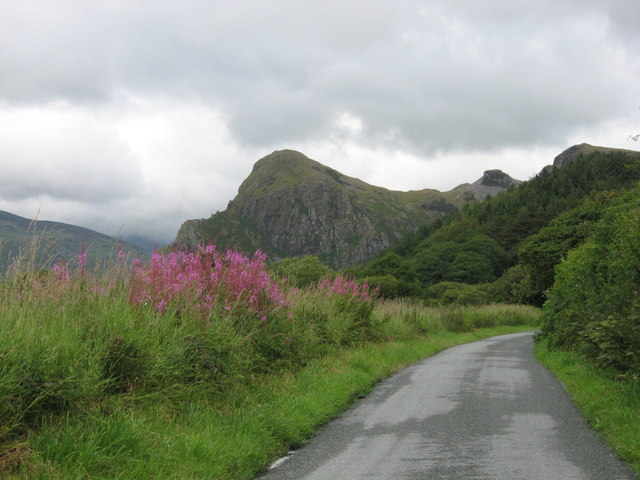
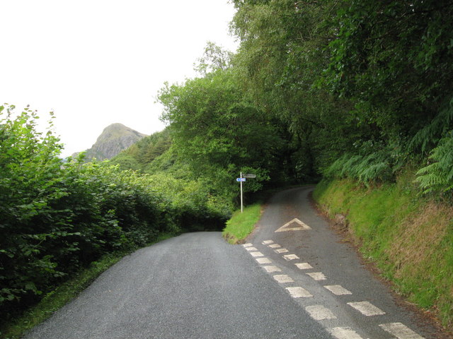
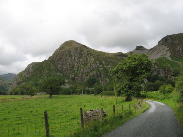
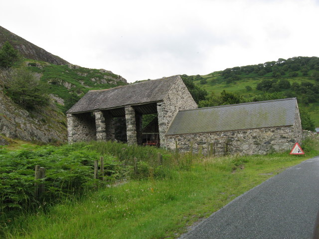
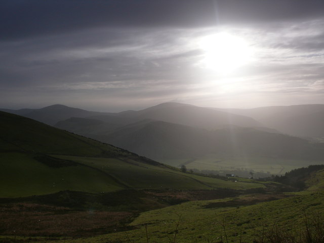
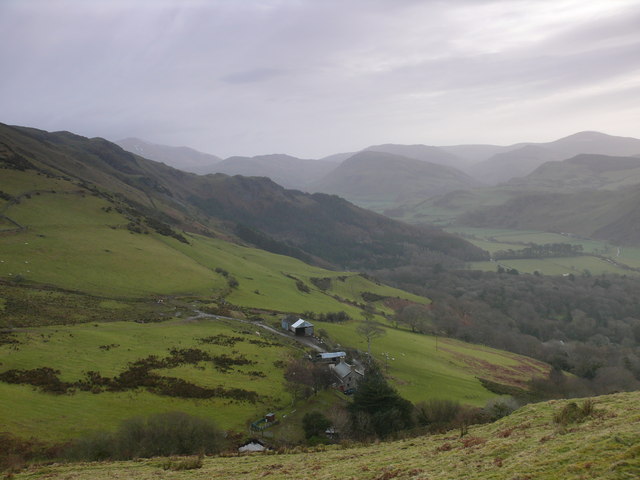
Ty'r-gawen Bottom Wood Images
Images are sourced within 2km of 52.637688/-4.0389689 or Grid Reference SH6206. Thanks to Geograph Open Source API. All images are credited.


Ty'r-gawen Bottom Wood is located at Grid Ref: SH6206 (Lat: 52.637688, Lng: -4.0389689)
Unitary Authority: Gwynedd
Police Authority: North Wales
What 3 Words
///cabin.cling.hypocrite. Near Tywyn, Gwynedd
Nearby Locations
Related Wikis

Peniarth
Peniarth is a village in the community of Meifod, Powys, Wales. It is 87.1 miles (140.2 km) from Cardiff and 156.9 miles (252.5 km) from London. It is...

Abertrinant
Abertrinant is a small settlement in Gwynedd, Wales. It is 7 kilometres (4 mi) northeast of the town of Tywyn. == External links == www.geograph.co.uk...

Llanegryn
Llanegryn is a village and a community in Gwynedd, north-west Wales. It was formerly part of the historic county of Merionethshire (Welsh: Meirionnydd...

Craig yr Aderyn
Craig yr Aderyn, also known as Bird's Rock, is a hill rising to a height of 258 metres (846 ft) above sea level on the south bank of the River Dysynni...
Nearby Amenities
Located within 500m of 52.637688,-4.0389689Have you been to Ty'r-gawen Bottom Wood?
Leave your review of Ty'r-gawen Bottom Wood below (or comments, questions and feedback).