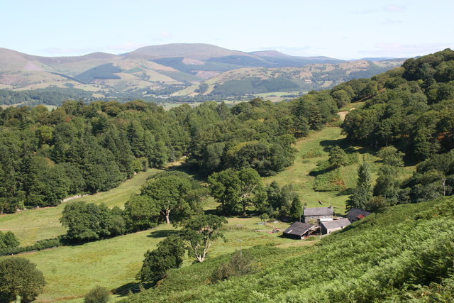
Allt Fach
Wood, Forest in Cardiganshire
Wales
Allt Fach

The requested URL returned error: 429 Too Many Requests
If you have any feedback on the listing, please let us know in the comments section below.
Allt Fach Images
Images are sourced within 2km of 52.243191/-4.0182951 or Grid Reference SN6262. Thanks to Geograph Open Source API. All images are credited.


Allt Fach is located at Grid Ref: SN6262 (Lat: 52.243191, Lng: -4.0182951)
Unitary Authority: Ceredigion
Police Authority: Dyfed Powys
What 3 Words
///baking.bluffs.argued. Near Tregaron, Ceredigion
Nearby Locations
Related Wikis
Ceredigion
Ceredigion (Welsh pronunciation: [kɛrɛˈdɪɡjɔn]), historically Cardiganshire (), is a county in the west of Wales. It borders Gwynedd across the Dyfi estuary...

Tyncelyn
Tyncelyn is a hamlet in the community of Lledrod, Ceredigion, Wales, which is 63.7 miles (102.5 km) from Cardiff and 172.6 miles (277.7 km) from London...

Llangeitho
Llangeitho is a village and community on the upper River Aeron in Ceredigion, Wales, about four miles (6 km) west of Tregaron and 11 kilometres (7 mi)...

Penuwch
Penuwch is a rural village in Ceredigion, Wales. Penuwch is about 1,000 feet above sea level and 8 miles west of Tregaron while the coast is a similar...
Nearby Amenities
Located within 500m of 52.243191,-4.0182951Have you been to Allt Fach?
Leave your review of Allt Fach below (or comments, questions and feedback).