Tyddyn Plantation

Wood, Forest in Cardiganshire

Wales

Tyddyn Plantation

Pathway above Bow Street This is an old road leading from Bow Street to Borth and is shown as such on the 2nd edition OS 1:2500 map (1905). It is currently classified as an 'other route with public access' (green dots on the 1:25k map, red on the 1:50k).
Pathway above Bow Street Credit: John Lucas

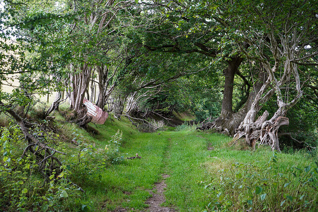
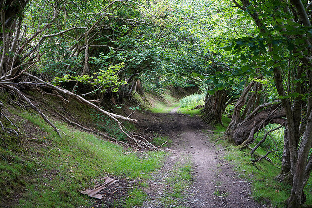
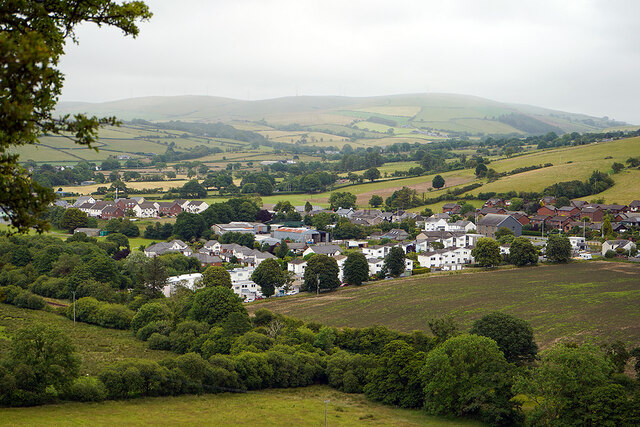
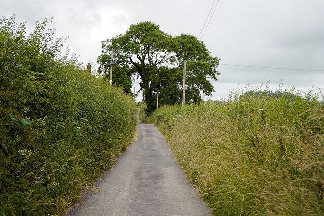
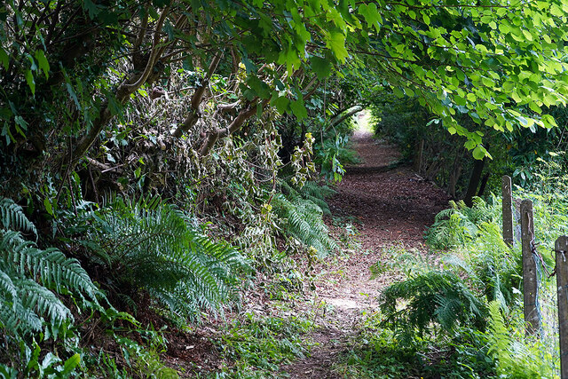
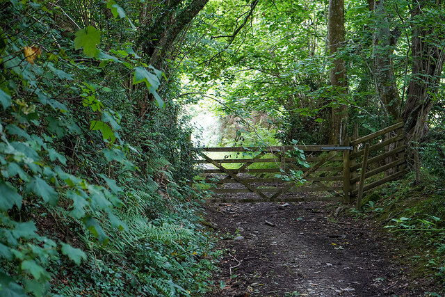
Tyddyn Plantation is a picturesque woodland located in Cardiganshire, a county in Wales. Spread across a vast area, this woodland is a haven for nature enthusiasts and those seeking tranquility amidst the beauty of nature.

The plantation is densely populated with a variety of trees, including oak, birch, beech, and pine, creating a diverse and vibrant ecosystem. The lush greenery and the sweet aroma of the forest make it an ideal destination for nature walks and hikes.

The woodland is home to a wide range of wildlife, including numerous bird species, mammals, and insects. Birdwatchers can spot various species of birds, such as woodpeckers, owls, and finches, while lucky visitors might catch a glimpse of deer, foxes, or rabbits among the trees.

There are several well-maintained trails crisscrossing the plantation, allowing visitors to explore its beauty at their own pace. These paths provide an opportunity to immerse oneself in the serenity of the forest, with the gentle rustling of leaves and the chirping of birds serving as a soothing soundtrack.

Tyddyn Plantation also offers a picnic area, where visitors can enjoy a leisurely lunch surrounded by the natural splendor. The plantation is open year-round, and each season brings its own unique charm. From vibrant autumn foliage to blooming wildflowers in spring, it is a place that never fails to captivate its visitors.

Tyddyn Plantation is not just a woodland, but a sanctuary where one can escape the hustle and bustle of everyday life and embrace the beauty of nature in its purest form.

If you have any feedback on the listing, please let us know in the comments section below.

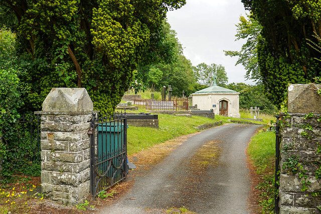
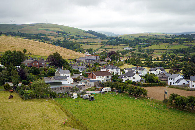
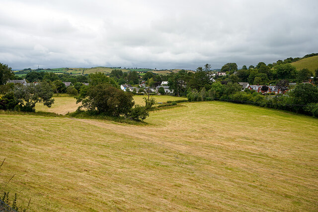
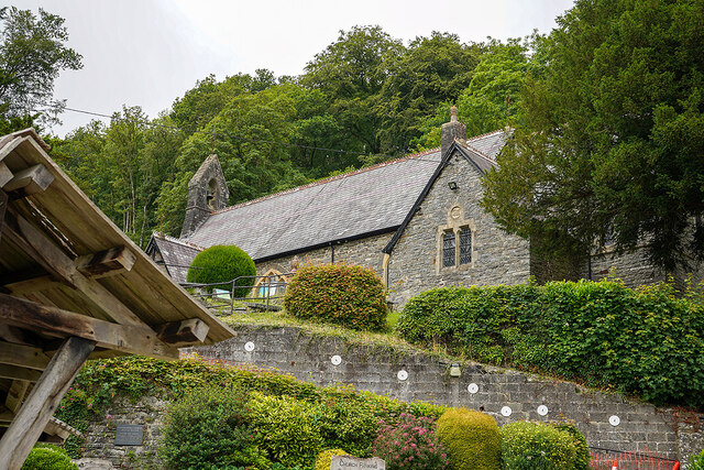
Tyddyn Plantation Images

Images are sourced within 2km of 52.462933/-4.0289824 or Grid Reference SN6286. Thanks to Geograph Open Source API. All images are credited.
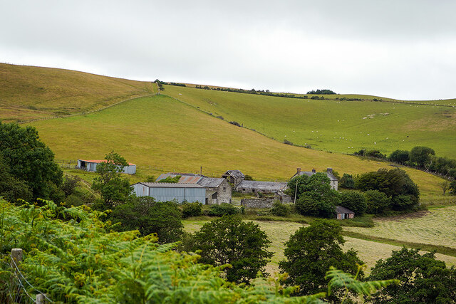
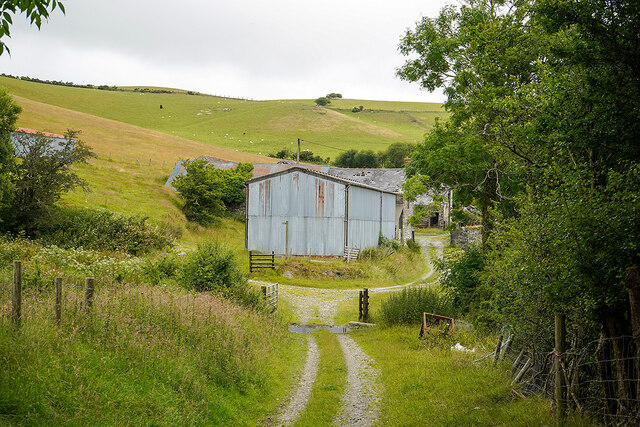
Pathway above Bow Street This is an old road leading from Bow Street to Borth and is shown as such on the 2nd edition OS 1:2500 map (1905). It is currently classified as an 'other route with public access' (green dots on the 1:25k map, red on the 1:50k).
Pathway above Bow Street
This is an old road leading from Bow Street to Borth and is shown as such on the 2nd edition OS 1:2500 map (1905). It is currently classified as an 'other route with public access' (green dots on the 1:25k map, red on the 1:50k).
The Maes Afallen estate, Bow Street Viewed from the path to Llandre.
The Maes Afallen estate, Bow Street
Viewed from the path to Llandre.
Ruel-uchaf [farm] Viewed from the path from Bow Street to Landre.
Ruel-uchaf [farm]
Viewed from the path from Bow Street to Landre.
The old road from Bow Street to Llandre Now a public access footpath.
The old road from Bow Street to Llandre
Now a public access footpath.
You have been warned! Sheep and dogs don't mix.
You have been warned!
Sheep and dogs don't mix.
Pen-y-garn houses North of Bow Street. On the right is Capel y Garn, a Grade II listed Presbyterian Church (services in Welsh).
Pen-y-garn houses
North of Bow Street. On the right is Capel y Garn, a Grade II listed Presbyterian Church (services in Welsh).
Approaching Ruel-isaf A farm in the hills above Bow Street. A public path runs through the yard.
Approaching Ruel-isaf
A farm in the hills above Bow Street. A public path runs through the yard.
Tin barn at Ruel-isaf The public path to Llandre runs through the farmyard here (after negotiating the 'water-hazard' in the lower half of the view!).
Tin barn at Ruel-isaf
The public path to Llandre runs through the farmyard here (after negotiating the 'water-hazard' in the lower half of the view!).
A glimpse of Pen-y-garn From the public route between Bow Street and Llandre, near Ruel-isaf farm.
A glimpse of Pen-y-garn
From the public route between Bow Street and Llandre, near Ruel-isaf farm.
On the lane near Ruel-uchaf farm An old route between Bow Street and Llandre.
On the lane near Ruel-uchaf farm
An old route between Bow Street and Llandre.
Cottages on the lane above Llandre On the old road from Bow Street to Llandre.
Cottages on the lane above Llandre
On the old road from Bow Street to Llandre.
Footpath leading to Castell Gwallter Up the hill from Llandre.
Footpath leading to Castell Gwallter
Up the hill from Llandre.
Houses in Llandre
Houses in Llandre
Entrance to lower Llandre Cemetery The graveyard is very extensive, older burials being on the hill behind the camera, by St Michael's Church. The cemetery is extremely well documented and can be found here: <span class="nowrap"><a title="http://www.llandre.org.uk/en/churchyard.php" rel="nofollow ugc noopener" href="http://www.llandre.org.uk/en/churchyard.php">Link</a><img style="margin-left:2px;" alt="External link" title="External link - shift click to open in new window" src="https://s1.geograph.org.uk/img/external.png" width="10" height="10"/></span>
Entrance to lower Llandre Cemetery
The graveyard is very extensive, older burials being on the hill behind the camera, by St Michael's Church. The cemetery is extremely well documented and can be found here: LinkExternal link
A view over Llandre The old school building is visible in the centre of the view. It closed in the 1990s and later became a soft play centre. That subsequently closed in 2016 after a couple of years of operation. The building was being offered for sale in 2017 for £230,000. It is featured on the Waymarking website: <span class="nowrap"><a title="https://www.waymarking.com/waymarks/WMAZRK_Old_Llandre_School_Llandre_Bow_Street_Ceredigion_Wales_UK" rel="nofollow ugc noopener" href="https://www.waymarking.com/waymarks/WMAZRK_Old_Llandre_School_Llandre_Bow_Street_Ceredigion_Wales_UK">Link</a><img style="margin-left:2px;" alt="External link" title="External link - shift click to open in new window" src="https://s1.geograph.org.uk/img/external.png" width="10" height="10"/></span>
A view over Llandre
The old school building is visible in the centre of the view. It closed in the 1990s and later became a soft play centre. That subsequently closed in 2016 after a couple of years of operation. The building was being offered for sale in 2017 for £230,000. It is featured on the Waymarking website: LinkExternal link
The harvest is in Fields at Llandre.
The harvest is in
Fields at Llandre.
Llandre Church Dedicated to St Michael, Church in Wales. The church is set on a steep hillside as is its original associated graveyard. Coed Tyddyn stands behind.
Llandre Church
Dedicated to St Michael, Church in Wales. The church is set on a steep hillside as is its original associated graveyard. Coed Tyddyn stands behind.
Gate on the old road from Landre to Borth Now a public path.
Gate on the old road from Landre to Borth
Now a public path.
Show me another place!

Tyddyn Plantation is located at Grid Ref: SN6286 (Lat: 52.462933, Lng: -4.0289824)

Unitary Authority: Ceredigion

Police Authority: Dyfed Powys

What 3 Words

///mysteries.chickens.pins. Near Bow Street, Ceredigion

Related Wikis

Castell Gwallter

Castell Gwallter, also known as Walter's Castle and sometimes Castell Penweddig, is the remains of a Norman motte-and-bailey castle situated on a large...
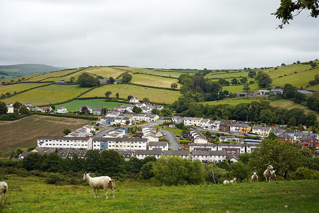
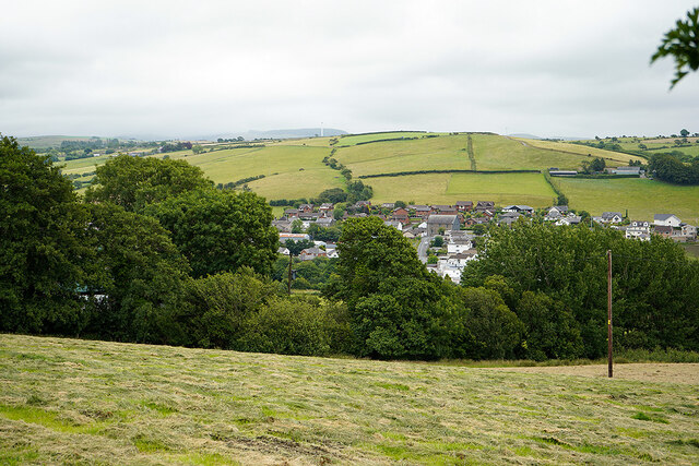
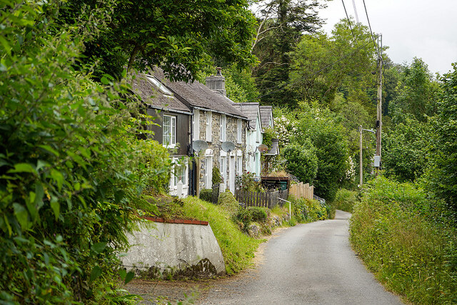
Llandre

Llandre, or Llanfihangel Genau'r Glyn, is a village in Ceredigion, Wales. It lies 5 miles north of Aberystwyth in the north-west of the county, on the...

Taigwynion

Taigwynion is a hamlet 1 km ENE of Llandre in Ceredigion, Wales. It has 11 houses and a postcode of its own, SY24 5AG. == Toponymy == Taigwynion has no...

Dôl-y-bont

Dol-y-bont ("bridge meadow") is a village in Ceredigion, Wales; It lies near Borth, to the north of Llandre. Dôl is Welsh for "meadow", Bont is Welsh...

Rhydypennau, Ceredigion

Rhydypennau is a hamlet in the Genau'r-glyn district of Ceredigion, Wales, approximately 4+1⁄2 miles (7.2 km) north-east of Aberystwyth. Along with the...

Bow Street F.C.

Bow Street F.C. are based at Rhydypennau near Bow Street in Ceredigion, Wales, about 4+1⁄2 miles (7.2 km) north-east of Aberystwyth, and are currently...

Penybont, Ceredigion

Penybont is a small village in the community of Genau'r-glyn, Ceredigion, Wales, which is 77.6 miles (124.9 km) from Cardiff and 178.8 miles (287.7 km...

Dole, Ceredigion

Dole, Ceredigion is a small village in the community of Tirymynach, Ceredigion, Wales. Dole is represented in the Senedd by Elin Jones (Plaid Cymru) and...

Nearby Amenities

Located within 500m of 52.462933,-4.0289824
Llandre
Is In: Ceredigion, Wales, UK
Name Cy: Llanfihangel Genau'r Glyn
Old Name: Llanfihangel Castell Gwallter
Place: village
Population: 679
Source: local_knowledge;www.neighbourhood.statistics.gov.uk/dissemination/LeadKeyFigures.do?a=7&b=11123704&c=SY24+5BU&d=16&e=62&g=6491403&i=1001x1003x1032x1004&m=0&r=0&s=1431269506200&enc=1
Wikidata: Q3401728
Wikipedia: en:Llandre
Lat/Long: 52.4628424/-4.0238848
Railway: level_crossing
Source: local_knowledge
Lat/Long: 52.4628845/-4.0244862
Post Box
Operator: Royal Mail
Post Box Mounting: pier
Post Box Type: lamp
Ref: SY24 140
Lat/Long: 52.4624743/-4.024177
Building: yes
Lat/Long: 52.4662165/-4.0272147
Bus Stop
Llandre
Bench: yes
Bin: yes
Naptan AtcoCode: 5230WDB23427
Naptan NaptanCode: cejgdaw
Public Transport: platform
Shelter: yes
Lat/Long: 52.4628872/-4.0240838
Bus Stop
Llandre
Bus: yes
Naptan AtcoCode: 5230AWD71688
Naptan NaptanCode: cejawpd
Public Transport: platform
Lat/Long: 52.4626158/-4.0242089
Place Of Worship
Capel Bethlehem
Denomination: presbyterian
Religion: christian
Wikidata: Q99448520
Lat/Long: 52.4627316/-4.0254127
Llandre
Disused Railway: station
Old Name: Llanfihangel
Railway: site
Lat/Long: 52.4626484/-4.0245073
The data included in this document is from www.openstreetmap.org. The data is made available under ODbL.

Have you been to Tyddyn Plantation?

Leave your review of Tyddyn Plantation below (or comments, questions and feedback).