Castell Gwallter
Heritage Site in Cardiganshire
Wales
Castell Gwallter

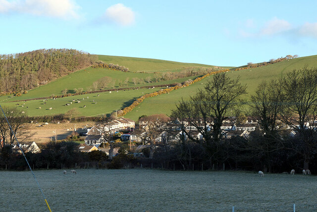
Castell Gwallter, also known as Gwallter Castle, is a historic heritage site located in Cardiganshire, Wales. It is situated on a hilltop overlooking the picturesque Teifi Valley. The castle is believed to have been constructed in the 12th century and played a significant role in the medieval history of the region.
The remains of Castell Gwallter consist of a large circular stone tower, which is thought to have been the main keep of the castle. The tower is surrounded by the remnants of a curtain wall and a moat, indicating the defensive nature of the structure. The castle was strategically positioned to oversee the surrounding countryside and control the nearby river crossing.
The site has undergone various modifications and renovations throughout its history. It was initially built by the Normans but later fell into the hands of Welsh rulers. It was then captured by the English crown during the 13th century, leading to further alterations and expansion. However, the castle gradually declined in importance and was eventually abandoned in the 15th century.
Today, Castell Gwallter stands as a picturesque ruin, attracting history enthusiasts and tourists alike. The site offers visitors a glimpse into the past, with its impressive architectural remains and panoramic views of the surrounding countryside. Although lacking in extensive interpretation, the castle's historical significance and scenic location make it a worthwhile visit for those interested in medieval Welsh history.
If you have any feedback on the listing, please let us know in the comments section below.
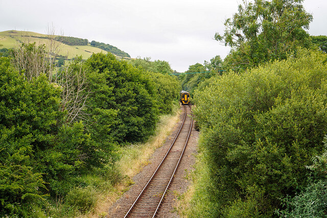
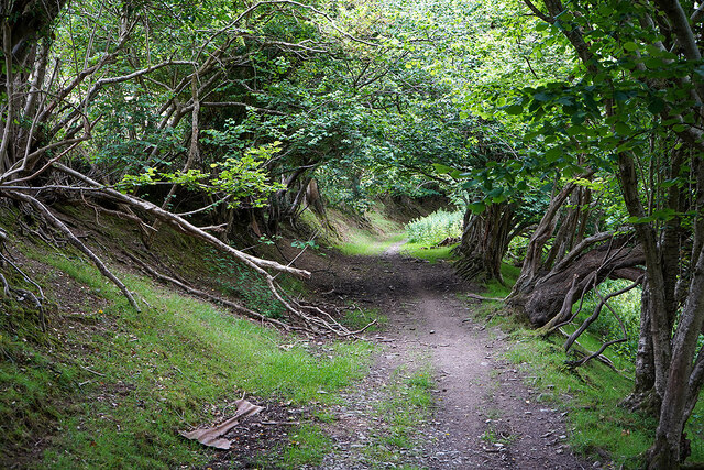
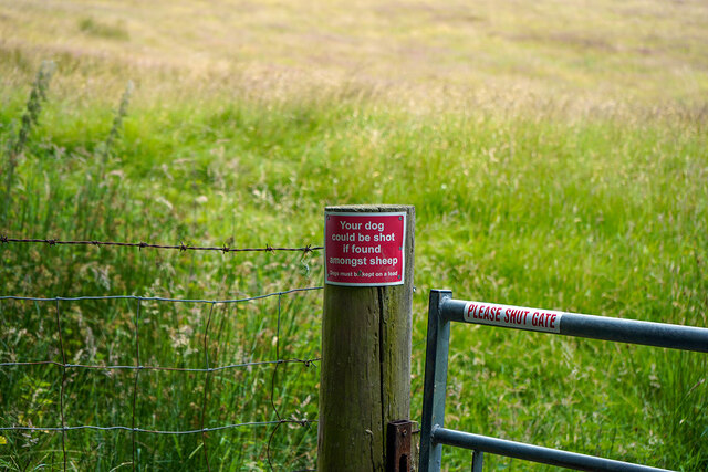
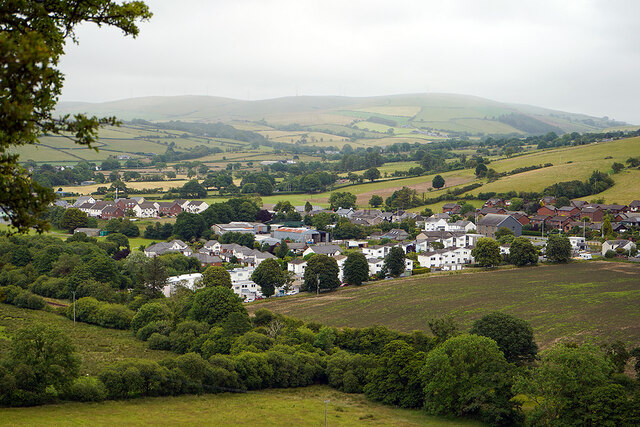
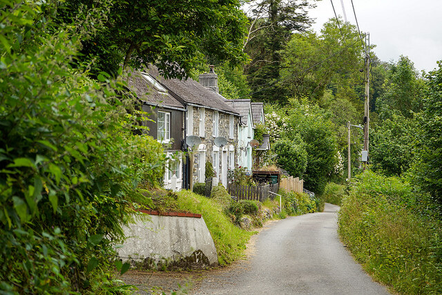
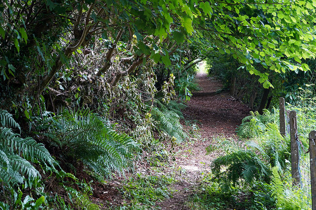
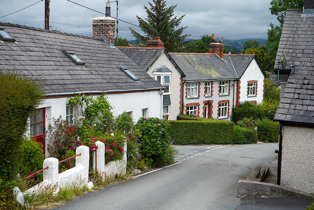
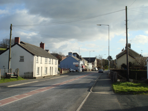
Castell Gwallter Images
Images are sourced within 2km of 52.458/-4.023 or Grid Reference SN6286. Thanks to Geograph Open Source API. All images are credited.
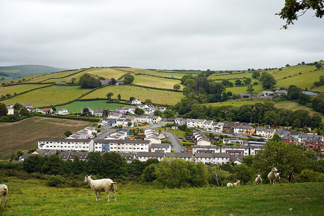
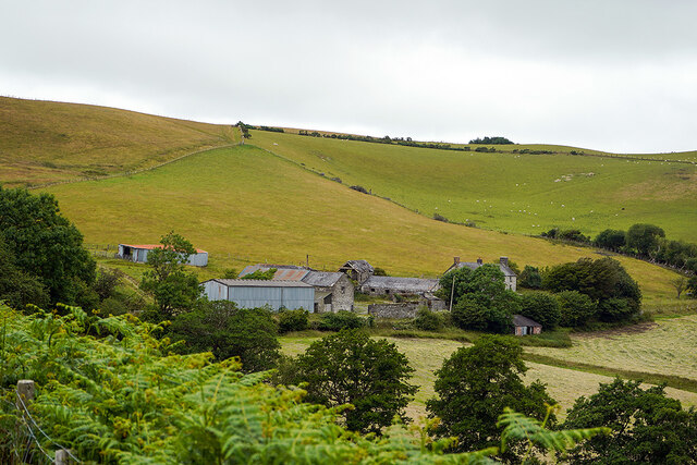
![Ruel-uchaf [farm] Viewed from the path from Bow Street to Landre.](https://s0.geograph.org.uk/geophotos/07/22/02/7220232_bc23c819.jpg)
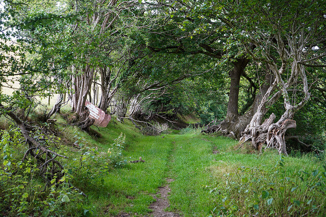
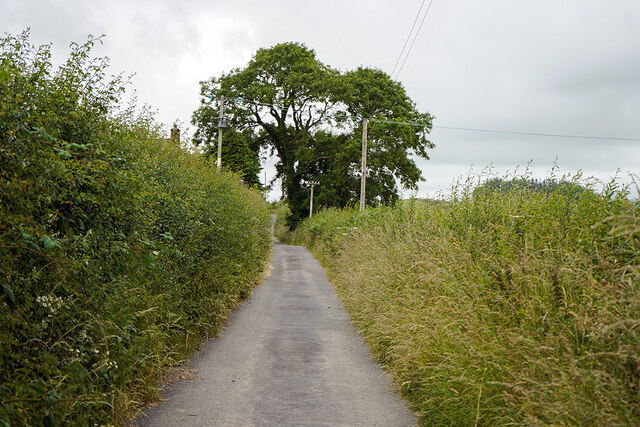
![Bryn Castell Now a road through a housing estate, but was once an old route leading to Bryn-y-castell [farm] and over the hills to Llandre and Borth. Much of the route can still be walked, access to which is via the farm, which can be seen ahead.](https://s3.geograph.org.uk/geophotos/07/22/02/7220259_6c5c91f1.jpg)
Castell Gwallter is located at Grid Ref: SN6286 (Lat: 52.458, Lng: -4.023)
Unitary Authority: Ceredigion
Police Authority: Dyfed Powys
What 3 Words
///bakers.direction.letters. Near Bow Street, Ceredigion
Nearby Locations
Related Wikis

Rhydypennau, Ceredigion
Rhydypennau is a hamlet in the Genau'r-glyn district of Ceredigion, Wales, approximately 4+1⁄2 miles (7.2 km) north-east of Aberystwyth. Along with the...

Castell Gwallter
Castell Gwallter, also known as Walter's Castle and sometimes Castell Penweddig, is the remains of a Norman motte-and-bailey castle situated on a large...

Bow Street F.C.
Bow Street F.C. are based at Rhydypennau near Bow Street in Ceredigion, Wales, about 4+1⁄2 miles (7.2 km) north-east of Aberystwyth, and are currently...

Llandre
Llandre, or Llanfihangel Genau'r Glyn, is a village in Ceredigion, Wales. It lies 5 miles north of Aberystwyth in the north-west of the county, on the...
Dole, Ceredigion
Dole, Ceredigion is a small village in the community of Tirymynach, Ceredigion, Wales. Dole is represented in the Senedd by Elin Jones (Plaid Cymru) and...
Pen-y-garn, Ceredigion
Pen-y-garn is a small village in the Tirymynach district of Ceredigion, Wales, approximately 4 miles (6 km) north-east of Aberystwyth. Along with the hamlet...
Taigwynion
Taigwynion is a hamlet 1 km ENE of Llandre in Ceredigion, Wales. It has 11 houses and a postcode of its own, SY24 5AG. == Toponymy == Taigwynion has no...
Dol-gau
Dol-gau (or Dôl-gau) is a small village in the community of Tirymynach, Ceredigion, Wales, which is 76.4 miles (123 km) from Cardiff and 177.5 miles...
Nearby Amenities
Located within 500m of 52.458,-4.023Have you been to Castell Gwallter?
Leave your review of Castell Gwallter below (or comments, questions and feedback).