Castell Grogwynion
Heritage Site in Cardiganshire
Wales
Castell Grogwynion
Castell Grogwynion is a historically significant heritage site located in Cardiganshire, Wales. It is a medieval castle that holds great architectural and historical importance.
The castle is situated on a hilltop, providing breathtaking panoramic views of the surrounding countryside. Its exact date of construction is uncertain, but it is believed to have been built during the 13th century by the powerful Welsh prince, Rhys ap Gruffydd.
Castell Grogwynion is characterized by its robust stone walls and imposing circular towers, which showcase the military architecture of the time. The castle originally served as a defensive structure, offering protection to the local community during times of conflict.
Over the years, the castle has witnessed several battles and sieges, contributing to its rich history. The strategic location of the castle allowed it to play a crucial role in various historical events, including the Welsh Wars of Independence and the English conquest of Wales.
Today, Castell Grogwynion is a popular tourist attraction, drawing visitors from all over the world who are interested in exploring its historical significance. The castle offers guided tours and educational exhibits that delve into its fascinating past. Visitors can also enjoy the scenic beauty of the surrounding landscape and take in the awe-inspiring views from the castle's elevated position.
Castell Grogwynion stands as a testament to Wales' medieval heritage and serves as a reminder of the region's rich history. It is a must-visit destination for history enthusiasts and anyone seeking to immerse themselves in the captivating tales of the past.
If you have any feedback on the listing, please let us know in the comments section below.
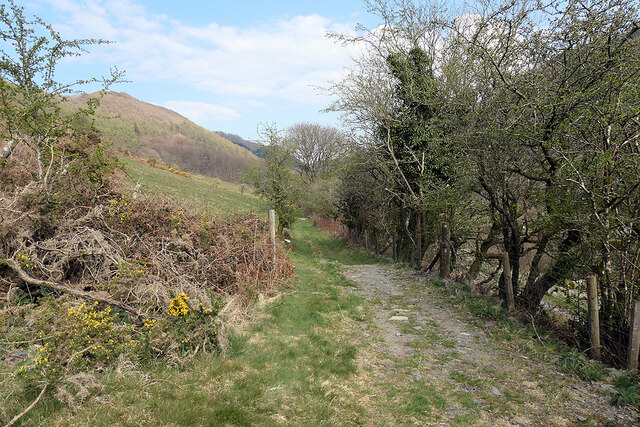
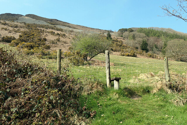
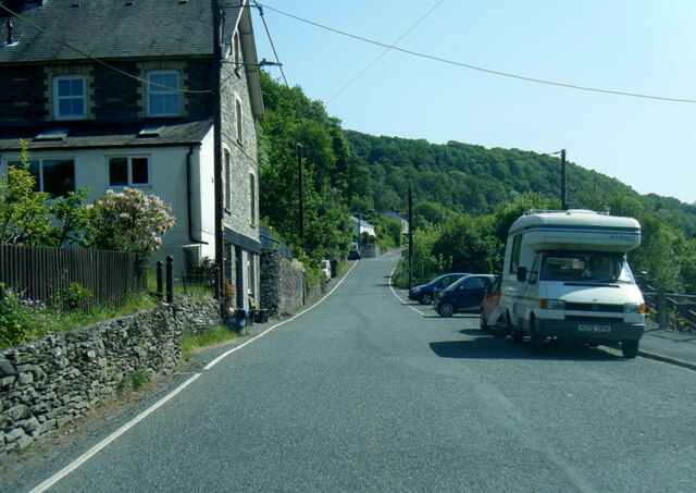
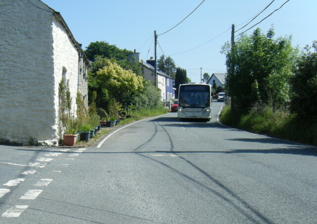
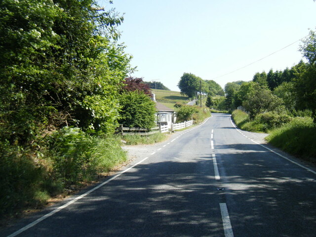
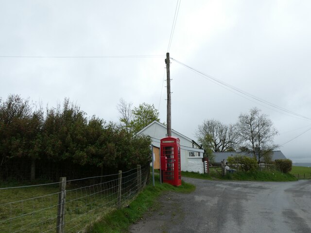
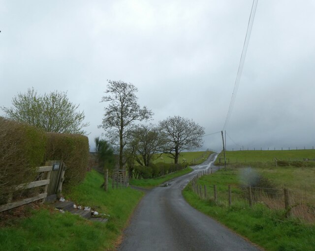
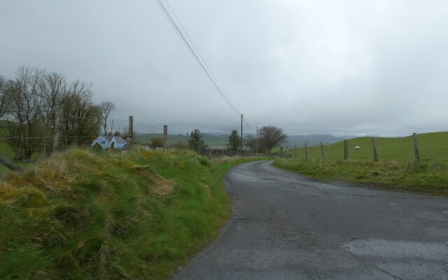
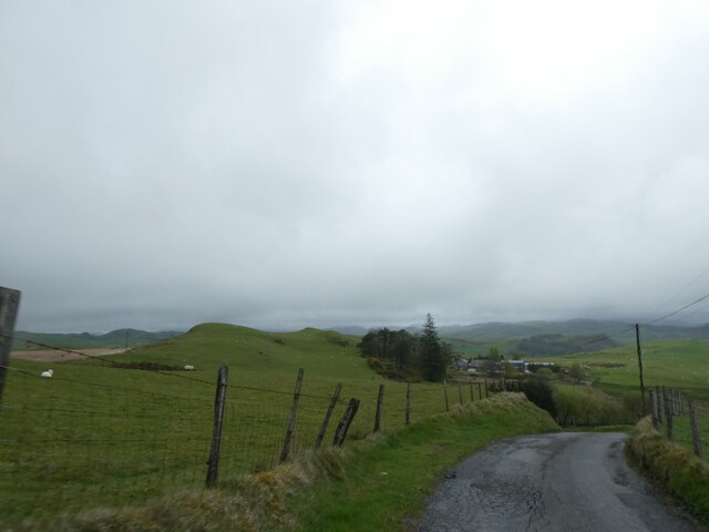
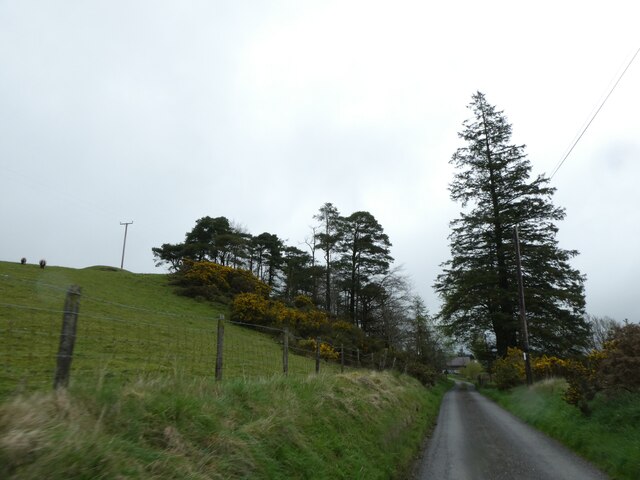
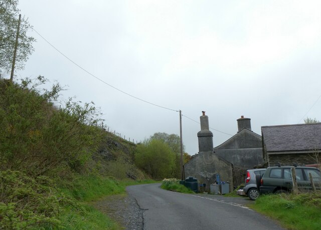
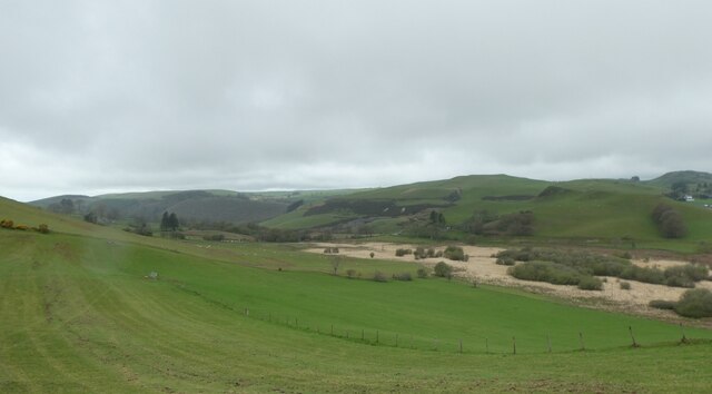
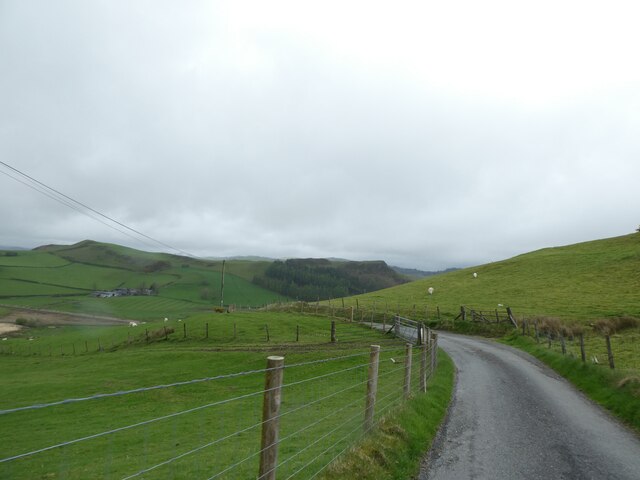
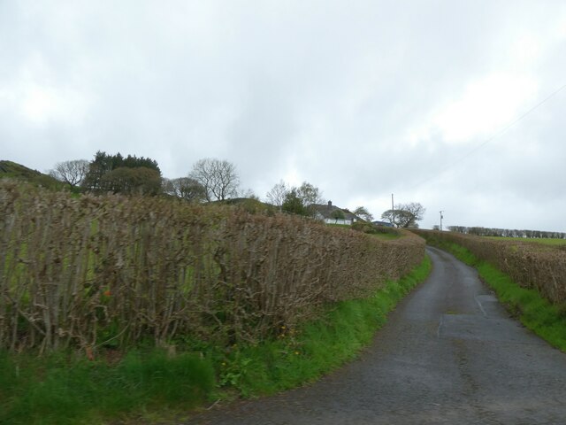
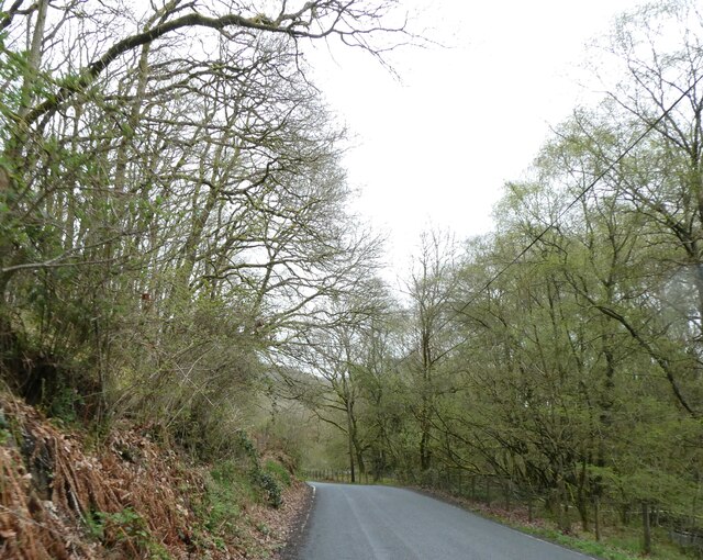
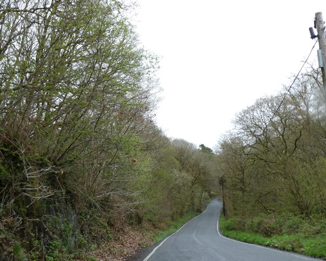
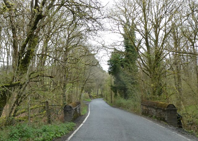
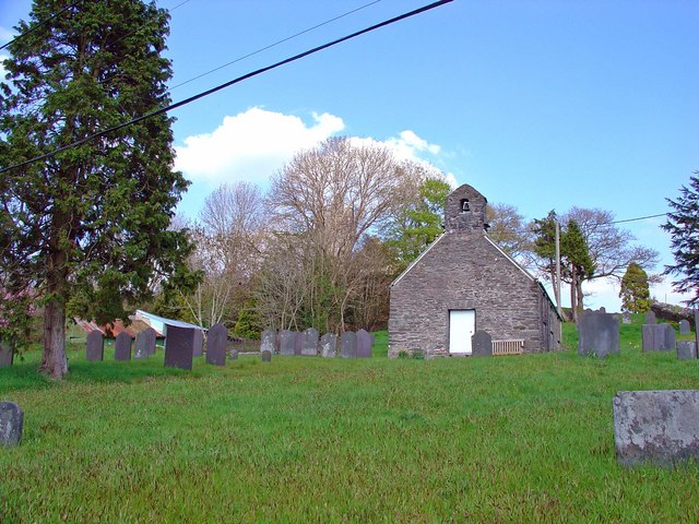
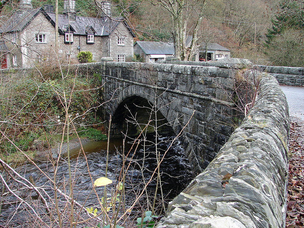
Castell Grogwynion Images
Images are sourced within 2km of 52.335/-3.872 or Grid Reference SN7272. Thanks to Geograph Open Source API. All images are credited.

Castell Grogwynion is located at Grid Ref: SN7272 (Lat: 52.335, Lng: -3.872)
Unitary Authority: Ceredigion
Police Authority: Dyfed Powys
What 3 Words
///performed.tummy.flow. Near Cwmystwyth, Ceredigion
Nearby Locations
Related Wikis

New Row
New Row is a hamlet in the community of Pontarfynach, Ceredigion, Wales, which is 66.5 miles (107 km) from Cardiff and 169.5 miles (272.7 km) from London...
Ysbyty Ystwyth
Ysbyty Ystwyth (Welsh pronunciation: [əsˈbəti ˈəstʊi̯θ]) is a small village and community in Ceredigion, Wales, 11 mi (18 km) southeast of Aberystwyth...
Brynafan
Brynafan is a small village in the community of Trawsgoed, Ceredigion, Wales, which is 66.7 miles (107.3 km) from Cardiff and 170.3 miles (274.1 km) from...
Pont-rhyd-y-groes
Pont-rhyd-y-groes (also known as Pontrhydygroes, English: the bridge of the ford of the cross) is a village near Cwm Ystwyth and Pont ar Fynach (Devil...

River Ystwyth
The River Ystwyth (; Welsh: Afon Ystwyth [ˈəstʊɨ̯θ] "winding river") is a river in Ceredigion, Wales. The length of the main river is 20.5 miles (33.0...
Logau-Las
Logau-Las is a hamlet in the community of Ysbyty Ystwyth, Ceredigion, Wales, which is 65.4 miles (105.2 km) from Cardiff and 168.3 miles (270.8 km) from...

Hafod Uchtryd
Hafod Uchtryd (English: Uchtryd summer mansion) is a wooded and landscaped estate in the Ystwyth valley in Ceredigion, Wales. Near Devil's Bridge, Cwmystwyth...

St Afan's Church, Llanafan
Saint Afan's Church (SN68387192) is located in Llanafan, 8 miles (13 km) east of Aberystwyth, Ceredigion, in Wales. == History == The original church on...
Nearby Amenities
Located within 500m of 52.335,-3.872Have you been to Castell Grogwynion?
Leave your review of Castell Grogwynion below (or comments, questions and feedback).