Coed Cae'r ffynnon
Wood, Forest in Merionethshire
Wales
Coed Cae'r ffynnon
Coed Cae'r ffynnon is a charming woodland area located in Merionethshire, Wales. Covering an expansive area, the wood is a haven for nature enthusiasts and those seeking tranquility amidst lush greenery. Situated near the village of Llanuwchllyn, the woodland boasts a diverse range of flora and fauna, making it an ideal destination for wildlife enthusiasts.
The woodland is characterized by its dense canopy of tall trees, creating a shaded and cool environment even during the warmest months. The trees predominantly consist of native species such as oak, beech, and birch, which further enhance the natural beauty of the area. The forest floor is covered in a carpet of moss and ferns, adding to the enchanting atmosphere.
Coed Cae'r ffynnon is home to a variety of wildlife species. Birdwatchers will be delighted to spot various species of birds, including woodpeckers, owls, and thrushes. Squirrels can be seen darting through the branches, while rabbits and badgers occasionally make appearances in the undergrowth. The woodland also plays host to a myriad of insects, butterflies, and beetles, creating a thriving ecosystem.
The wood offers visitors a chance to explore through a network of well-maintained walking trails. These trails provide an opportunity to immerse oneself in the beauty of nature and experience the tranquility of the forest. The woodland is a popular destination for hikers, photographers, and families looking to enjoy a picnic in a serene setting.
Overall, Coed Cae'r ffynnon is a captivating woodland that showcases the natural beauty of Merionethshire. Its diverse range of plant and animal life, coupled with its peaceful ambiance, make it a must-visit destination for nature lovers and those seeking respite from the bustling world.
If you have any feedback on the listing, please let us know in the comments section below.
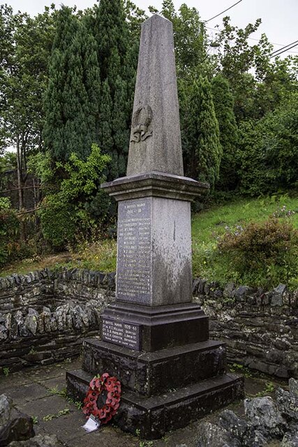
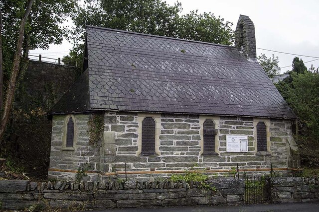
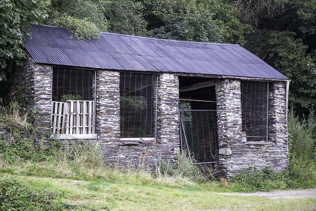
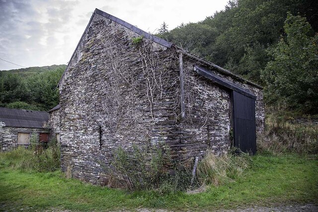
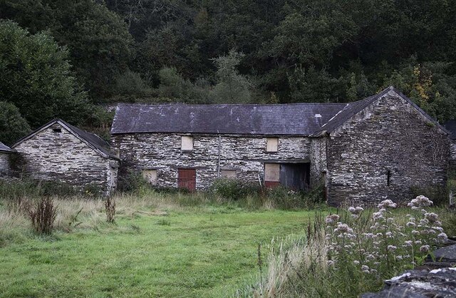
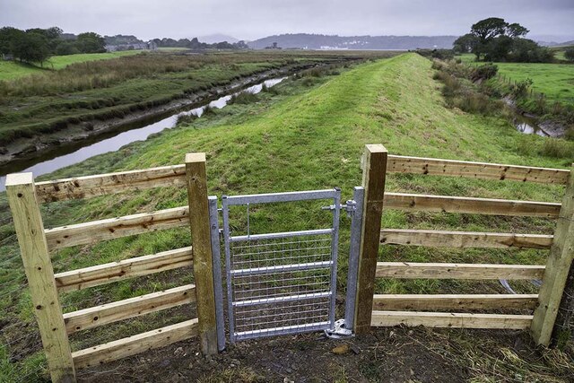
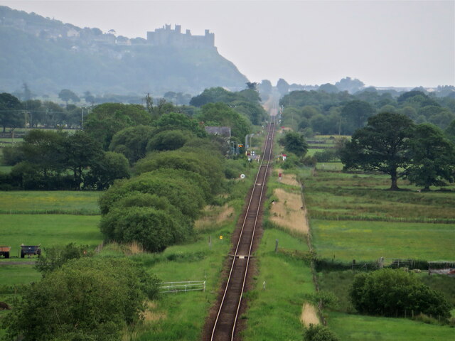
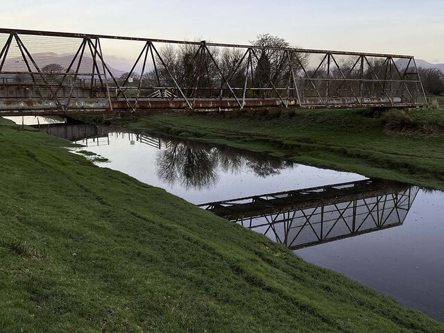
Coed Cae'r ffynnon Images
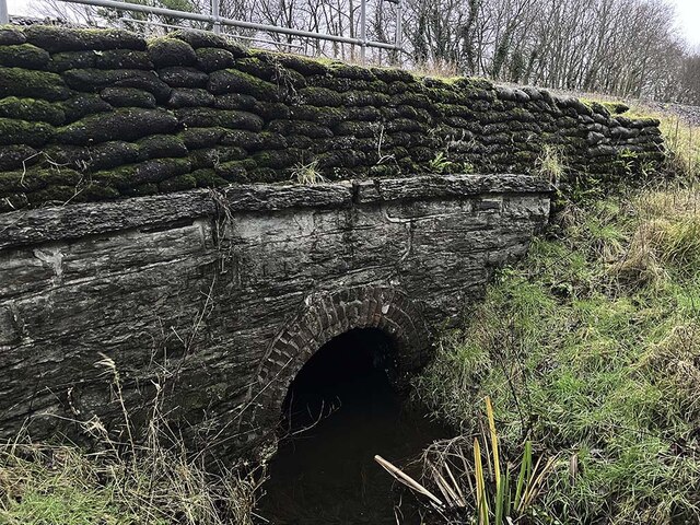
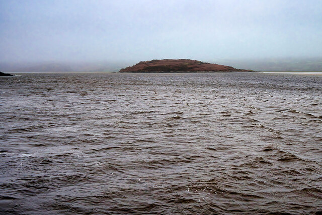
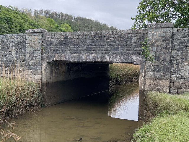
Images are sourced within 2km of 52.899746/-4.0656773 or Grid Reference SH6135. Thanks to Geograph Open Source API. All images are credited.


Coed Cae'r ffynnon is located at Grid Ref: SH6135 (Lat: 52.899746, Lng: -4.0656773)
Unitary Authority: Gwynedd
Police Authority: North Wales
What 3 Words
///humans.priced.shadowed. Near Penrhyndeudraeth, Gwynedd
Nearby Locations
Related Wikis

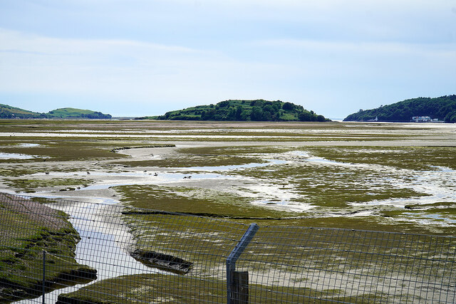
Talsarnau
Talsarnau is a village and community in the Ardudwy area of Gwynedd in Wales. Its population was 525 in 2001, and had increased to 550 at the 2011 Census...
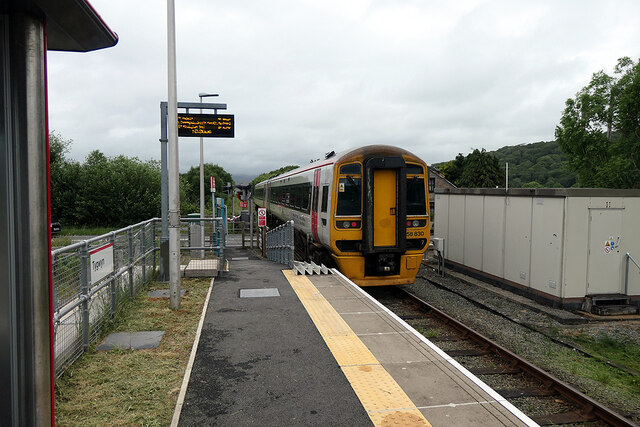
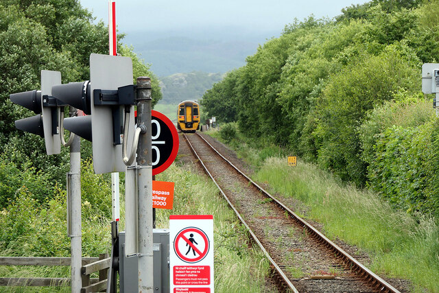
Talsarnau railway station
Talsarnau railway station serves the village of Talsarnau on the estuary of the Afon Dwyryd in Gwynedd, Wales. == Facilities == In early 2015, Talsarnau...

Soar, Gwynedd
Soar is a small village or hamlet in Gwynedd, Wales. It is located about 4 miles (6.4 km) northeast of Harlech, close to Talsarnau and Llandecwyn. It has...

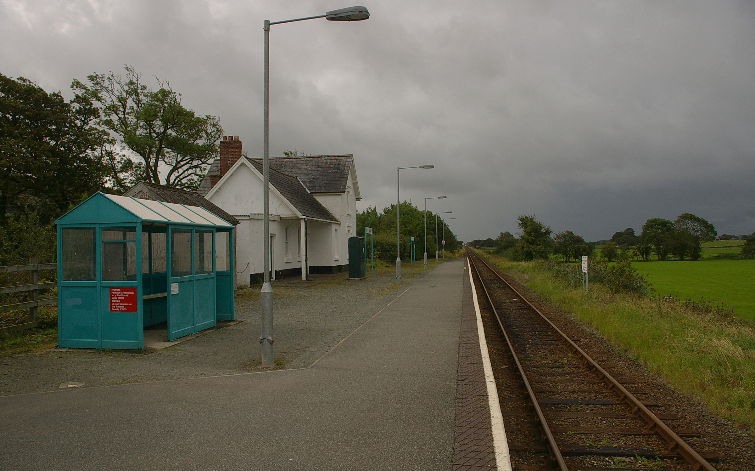
Tygwyn railway station
Tygwyn railway station is located at a level crossing on the A496 between Harlech and Talsarnau near the estuary of the Afon Dwyryd in Gwynedd, Wales....
Nearby Amenities
Located within 500m of 52.899746,-4.0656773Have you been to Coed Cae'r ffynnon?
Leave your review of Coed Cae'r ffynnon below (or comments, questions and feedback).