Allt Nant-y-bwch

Wood, Forest in Cardiganshire

Wales

Allt Nant-y-bwch

Ordnance Survey Cut Mark This OS cut mark can be found on the churn stand east side of the road. It marks a point 141.877m above mean sea level. <a title="https://www.geograph.org.uk/photo/7412328" href="https://www.geograph.org.uk/photo/7412328">Link</a>
Ordnance Survey Cut Mark Credit: Adrian Dust

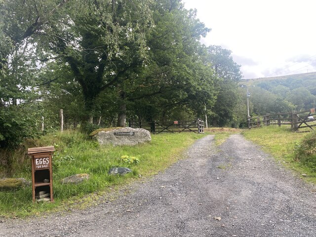
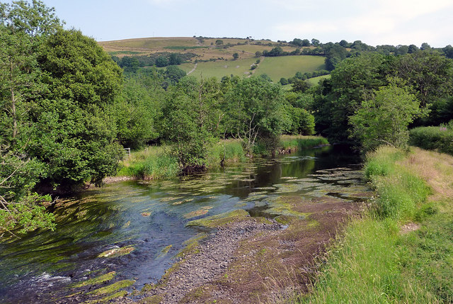
Allt Nant-y-bwch is a picturesque wood located in the county of Cardiganshire, Wales. Covering an area of approximately 20 acres, it is nestled within the stunning Cambrian Mountains, offering visitors a tranquil and enchanting escape into nature.

The wood is primarily composed of native broadleaf trees, including oak, beech, and birch, which create a dense canopy and provide a rich habitat for a variety of wildlife. The forest floor is adorned with a tapestry of bluebells, wood anemones, and wild garlic, creating a vibrant and colorful display during the spring months.

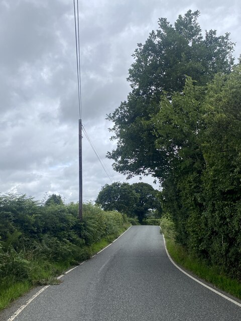
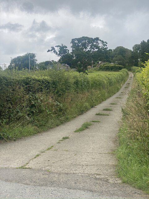
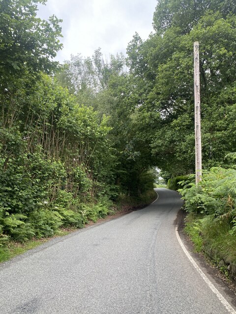
A network of well-maintained footpaths winds through the wood, allowing visitors to explore its natural beauty at their leisure. These paths lead to several small streams and a picturesque waterfall, adding to the charm of Allt Nant-y-bwch.

The wood is a popular destination for nature enthusiasts, birdwatchers, and hikers, who can enjoy the serenity and seclusion it offers. The peaceful atmosphere makes it an ideal spot for meditation and relaxation, away from the hustle and bustle of the modern world.

Allt Nant-y-bwch is also of historical significance, with remnants of an ancient hillfort visible within its boundaries. This highlights the area's rich cultural heritage and adds an extra layer of interest for those interested in history and archaeology.

Overall, Allt Nant-y-bwch is a hidden gem within Cardiganshire, offering visitors a chance to immerse themselves in the beauty of a traditional Welsh woodland.

If you have any feedback on the listing, please let us know in the comments section below.

Allt Nant-y-bwch Images

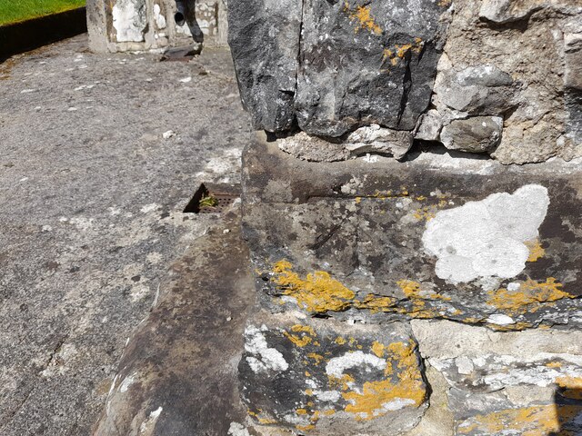
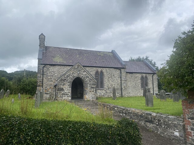
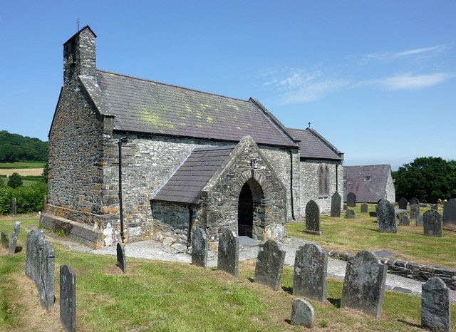
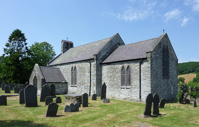
Images are sourced within 2km of 52.146216/-4.0308016 or Grid Reference SN6151. Thanks to Geograph Open Source API. All images are credited.

Ordnance Survey Cut Mark This OS cut mark can be found on the churn stand east side of the road. It marks a point 141.877m above mean sea level. <a title="https://www.geograph.org.uk/photo/7412328" href="https://www.geograph.org.uk/photo/7412328">Link</a>
Ordnance Survey Cut Mark
This OS cut mark can be found on the churn stand east side of the road. It marks a point 141.877m above mean sea level. Link
Churn Stand There is an Ordnance Survey cut mark on the front of the stand. <a title="https://www.geograph.org.uk/photo/7412325" href="https://www.geograph.org.uk/photo/7412325">Link</a>
Churn Stand
There is an Ordnance Survey cut mark on the front of the stand. Link
Ordnance Survey Cut Mark This OS cut mark can be found on the SW angle of St Bledrws' Church. It marks a point 133.707m above mean sea level.
Ordnance Survey Cut Mark
This OS cut mark can be found on the SW angle of St Bledrws' Church. It marks a point 133.707m above mean sea level.
Ordnance Survey Flush Bracket (G3325) This OS Flush Bracket can be found on the roadside barn at Bettws Farm. It marks a point 133.651m above mean sea level.
Ordnance Survey Flush Bracket (G3325)
This OS Flush Bracket can be found on the roadside barn at Bettws Farm. It marks a point 133.651m above mean sea level.
A485 at Llangybi village boundary
A485 in Betws Bledrws
A485 by Bettws Plantation
B4343 near Llanfair Clygodau
Entrance to Llysybarcud
Track to Pentre Farm
St Mary’s Church Llanfair Clygodau.
St Mary’s Church
Llanfair Clygodau.
B4343 towards Llanddewi Brefi
Ordnance Survey Cut Mark This OS cut mark can be found on the porch of All Saints Church. It marks a point 135.740m above mean sea level.
Ordnance Survey Cut Mark
This OS cut mark can be found on the porch of All Saints Church. It marks a point 135.740m above mean sea level.
All Saints Church, Cellan
Church of All Saints at Cellan, Ceredigion The church of All Saints, erected in 1668, is a building of stone, in the Gothic style.......restored in 1865, and affords 90 sittings. (from Genuki <span class="nowrap"><a title="http://www.genuki.org.uk/big/wal/CGN/Cellan/Kellys1910.html" rel="nofollow ugc noopener" href="http://www.genuki.org.uk/big/wal/CGN/Cellan/Kellys1910.html">Link</a><img style="margin-left:2px;" alt="External link" title="External link - shift click to open in new window" src="https://s1.geograph.org.uk/img/external.png" width="10" height="10"/></span> )
Church of All Saints at Cellan, Ceredigion
The church of All Saints, erected in 1668, is a building of stone, in the Gothic style.......restored in 1865, and affords 90 sittings. (from Genuki LinkExternal link )
The Afon Teifi near Cellan, Ceredigion This is the Afon Teifi looking south-east from the footbridge. Very little rain has fallen for the last few weeks.
The Afon Teifi near Cellan, Ceredigion
This is the Afon Teifi looking south-east from the footbridge. Very little rain has fallen for the last few weeks.
Church of All Saints, Cellan
Show me another place!

Allt Nant-y-bwch is located at Grid Ref: SN6151 (Lat: 52.146216, Lng: -4.0308016)

Unitary Authority: Ceredigion

Police Authority: Dyfed Powys

What 3 Words

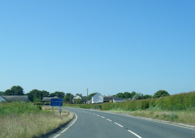
///ages.dwelled.sleepless. Near Llangybi, Ceredigion

Related Wikis

Llangybi railway station (Ceredigion)

Llangybi railway station, previously served the village and rural locale of Llangybi on the Carmarthen Aberystwyth Line in the Welsh county of Ceredigion...

Llanfair Clydogau

Llanfair Clydogau is a small village and community encompassing 3,232 hectares (7,990 acres), located about 4 miles (6.4 km) north-east of Lampeter on...

Derry Ormond railway station

Derry Ormond railway station served the hamlet and rural locale of Betws Bledrws near Llangybi, as well as the mansion and estate of Derry Ormond (demolished...

Llangybi, Ceredigion

Llangybi is a village and parish in the south of Ceredigion, Wales. It is located on the A485 between Tregaron to the north and Lampeter to the south,...

Nearby Amenities

Located within 500m of 52.146216,-4.0308016
Bench
Backrest: yes
Material: wood
Lat/Long: 52.1439884/-4.0368787
Bench
Lat/Long: 52.144024/-4.033292
To Begin At The Beginning..
Tourism: artwork
Lat/Long: 52.1440652/-4.0332236
Bench
Lat/Long: 52.144042/-4.0332647
Direction: 260
Generator Method: photovoltaic
Generator Output Electricity: yes
Generator Solar Modules: 17
Generator Source: solar
Generator Type: solar_photovoltaic_panel
Location: roof
Power: generator
Lat/Long: 52.1473042/-4.0337098
The data included in this document is from www.openstreetmap.org. The data is made available under ODbL.

Have you been to Allt Nant-y-bwch?

Leave your review of Allt Nant-y-bwch below (or comments, questions and feedback).