Allt Cefn-foel

Wood, Forest in Cardiganshire

Wales

Allt Cefn-foel

Ordnance Survey Cut Mark This OS cut mark can be found on the churn stand east side of the road. It marks a point 141.877m above mean sea level. <a title="https://www.geograph.org.uk/photo/7412328" href="https://www.geograph.org.uk/photo/7412328">Link</a>
Ordnance Survey Cut Mark Credit: Adrian Dust

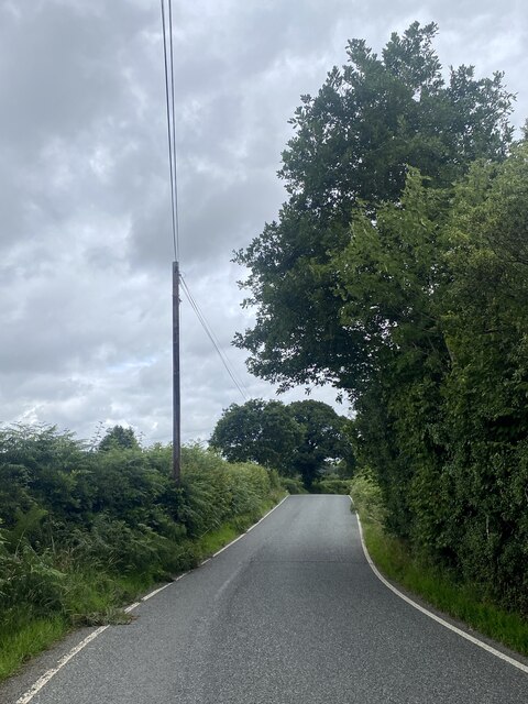
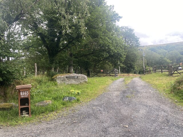
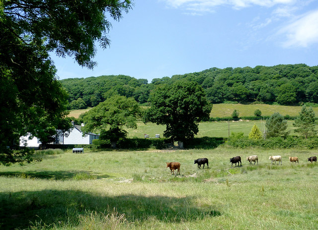
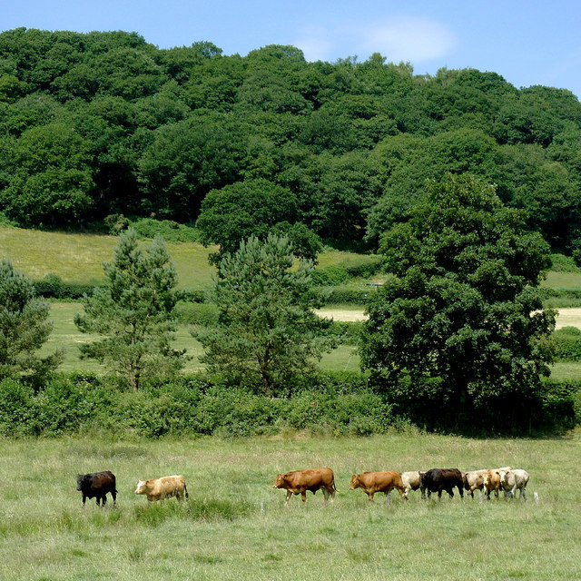
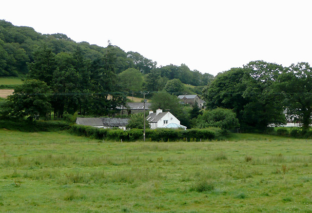
Allt Cefn-foel is a picturesque wood located in Cardiganshire, Wales. Covering an area of approximately 50 acres, it is known for its dense forest and stunning natural beauty. The wood is nestled in the rolling hills of the Welsh countryside, providing visitors with a peaceful and tranquil environment.

The wood is home to a rich variety of plant and animal species, making it a haven for nature enthusiasts. Among the trees that dominate the area are native species such as oak, beech, and birch. These towering trees create a dense canopy, allowing only dappled sunlight to filter through to the forest floor.

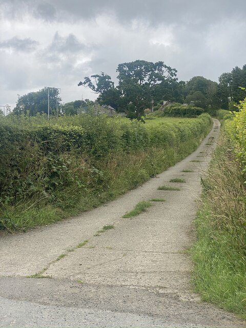
A network of well-maintained footpaths and trails crisscross the wood, providing visitors with the opportunity to explore and immerse themselves in its beauty. One of the highlights of Allt Cefn-foel is its stunning waterfall, which cascades down a rocky outcrop, adding to the charm and allure of the wood.

The wood is a haven for wildlife, with various bird species such as woodpeckers, owls, and thrushes making their homes here. Mammals like badgers, foxes, and squirrels can also be spotted in the wood, adding to the sense of wilderness.

Allt Cefn-foel is a popular destination for nature lovers, hikers, and photographers who are drawn to its serene atmosphere and stunning scenery. Whether it is a leisurely stroll, a picnic amidst the trees, or a peaceful retreat into nature, Allt Cefn-foel offers a truly enchanting experience for all who visit.

If you have any feedback on the listing, please let us know in the comments section below.

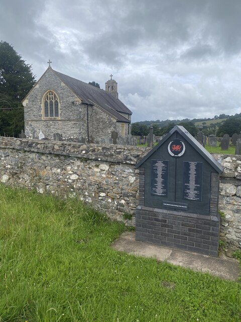
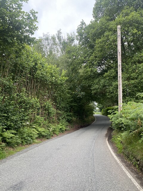
Allt Cefn-foel Images

Images are sourced within 2km of 52.148522/-4.025323 or Grid Reference SN6151. Thanks to Geograph Open Source API. All images are credited.

Ordnance Survey Cut Mark This OS cut mark can be found on the churn stand east side of the road. It marks a point 141.877m above mean sea level. <a title="https://www.geograph.org.uk/photo/7412328" href="https://www.geograph.org.uk/photo/7412328">Link</a>
Ordnance Survey Cut Mark
This OS cut mark can be found on the churn stand east side of the road. It marks a point 141.877m above mean sea level. Link
Churn Stand There is an Ordnance Survey cut mark on the front of the stand. <a title="https://www.geograph.org.uk/photo/7412325" href="https://www.geograph.org.uk/photo/7412325">Link</a>
Churn Stand
There is an Ordnance Survey cut mark on the front of the stand. Link
Ordnance Survey Cut Mark This OS cut mark can be found on the SW angle of St Bledrws' Church. It marks a point 133.707m above mean sea level.
Ordnance Survey Cut Mark
This OS cut mark can be found on the SW angle of St Bledrws' Church. It marks a point 133.707m above mean sea level.
Ordnance Survey Flush Bracket (G3325) This OS Flush Bracket can be found on the roadside barn at Bettws Farm. It marks a point 133.651m above mean sea level.
Ordnance Survey Flush Bracket (G3325)
This OS Flush Bracket can be found on the roadside barn at Bettws Farm. It marks a point 133.651m above mean sea level.
A485 at Llangybi village boundary
B4343 near Llanfair Clygodau
Entrance to Llysybarcud
Track to Pentre Farm
St Mary’s Church Llanfair Clygodau.
St Mary’s Church
Llanfair Clygodau.
B4343 towards Llanddewi Brefi
Pasture near Cellan, Ceredigion On the hill is the woodland of Allt Cae-glas. These meadows come down to the banks of the Afon Teifi. The herd had spotted me lurking under the trees, and was making its leisurely way across, maybe hoping I would give them something to eat, or maybe just out of curiosity.
Pasture near Cellan, Ceredigion
On the hill is the woodland of Allt Cae-glas. These meadows come down to the banks of the Afon Teifi. The herd had spotted me lurking under the trees, and was making its leisurely way across, maybe hoping I would give them something to eat, or maybe just out of curiosity.
Pasture and woodland north-east of Cellan, Ceredigion On the hill is the woodland of Allt Cae-glas. These meadows come down to the banks of the Afon Teifi. The herd had spotted me lurking under the trees, and was making its leisurely way across, maybe hoping I would give them something to eat, or maybe just out of curiosity.
Pasture and woodland north-east of Cellan, Ceredigion
On the hill is the woodland of Allt Cae-glas. These meadows come down to the banks of the Afon Teifi. The herd had spotted me lurking under the trees, and was making its leisurely way across, maybe hoping I would give them something to eat, or maybe just out of curiosity.
Derry Ormond Halt Derry Ormond Halt served the village of Betws Bledrws immediately to the north and the nearby Derry Ormond Estate, after which it was named.  It closed in 1964 with the cessation of passenger services on this line but is exceptionally well-preserved, retaining its original shelter in G.W.R. 'chocolate and cream' paint scheme. This looks northeast along the old trackbed in the east of the gridsquare
Derry Ormond Halt
Derry Ormond Halt served the village of Betws Bledrws immediately to the north and the nearby Derry Ormond Estate, after which it was named. It closed in 1964 with the cessation of passenger services on this line but is exceptionally well-preserved, retaining its original shelter in G.W.R. 'chocolate and cream' paint scheme. This looks northeast along the old trackbed in the east of the gridsquare
Betws Bledrws The small village of Betws Bledrws lies three miles from Lampeter on either side of the A485. It comprises two parts: Bro Deri, a row of council houses in the north of square <a href="https://www.geograph.org.uk/gridref/SN5951">SN5951</a> and the village proper shown here. 

The white building is New Lodge, built in c.1840 to the design of Charles Cockerell, who also designed the house whose gate it guarded, Derry Ormond Park (demolished in 1953). Cockerell was also responsible for the designs of St. David's College (now the University of Wales, Lampeter) and Derry Ormond Tower.
Betws Bledrws
The small village of Betws Bledrws lies three miles from Lampeter on either side of the A485. It comprises two parts: Bro Deri, a row of council houses in the north of square SN5951 and the village proper shown here. The white building is New Lodge, built in c.1840 to the design of Charles Cockerell, who also designed the house whose gate it guarded, Derry Ormond Park (demolished in 1953). Cockerell was also responsible for the designs of St. David's College (now the University of Wales, Lampeter) and Derry Ormond Tower.
Parish church: Betws Bledrws The 1:50000 and 1:25000 OS maps do not show unambiguously which square this is in.  According to the large-scale OS digital maps, the centre-point of the church is just north of the line (by 15 cm, I estimate) so I have put it in this square.

This is an "estate church" originally supported by the nearby Derry Ormond estate, and is dedicated to the obscure St Bledrws.
Parish church: Betws Bledrws
The 1:50000 and 1:25000 OS maps do not show unambiguously which square this is in. According to the large-scale OS digital maps, the centre-point of the church is just north of the line (by 15 cm, I estimate) so I have put it in this square. This is an "estate church" originally supported by the nearby Derry Ormond estate, and is dedicated to the obscure St Bledrws.
Line of the Manchester and Milford Railway The trackbed south of Derry Ormond station, now obviously a vehicle track to somewhere. Where, or why gates of this nature are required, isn't clear.
Line of the Manchester and Milford Railway
The trackbed south of Derry Ormond station, now obviously a vehicle track to somewhere. Where, or why gates of this nature are required, isn't clear.
Derry Ormond station Originally named Bettws after the then name of the nearby village, Betws Bledrws, it was renamed to Derry Ormond, after the estate of a local influential landowner. Since <a href="https://www.geograph.org.uk/photo/643903">SN5951 : Derry Ormond Halt</a> was taken, it seems to have become a dumping ground for all manner of derelict machinery, a quite common occurrence around here. Perhaps planning rules don't apply.
Derry Ormond station
Originally named Bettws after the then name of the nearby village, Betws Bledrws, it was renamed to Derry Ormond, after the estate of a local influential landowner. Since SN5951 : Derry Ormond Halt was taken, it seems to have become a dumping ground for all manner of derelict machinery, a quite common occurrence around here. Perhaps planning rules don't apply.
Pasture north of the Afon Teifi near Cellan, Ceredigion Looking north from the footbridge across the river. The raising of sheep and some cattle is dominant in this part of Ceredigion.
Pasture north of the Afon Teifi near Cellan, Ceredigion
Looking north from the footbridge across the river. The raising of sheep and some cattle is dominant in this part of Ceredigion.
Show me another place!

Allt Cefn-foel is located at Grid Ref: SN6151 (Lat: 52.148522, Lng: -4.025323)

Unitary Authority: Ceredigion

Police Authority: Dyfed Powys

What 3 Words

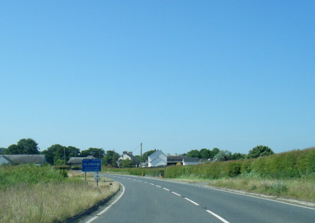
///alerting.vanished.evidently. Near Llangybi, Ceredigion

Related Wikis

Llanfair Clydogau

Llanfair Clydogau is a small village and community encompassing 3,232 hectares (7,990 acres), located about 4 miles (6.4 km) north-east of Lampeter on...

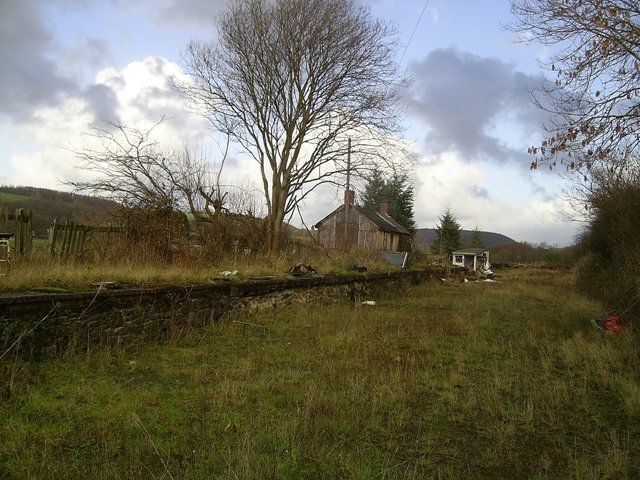
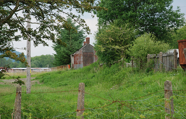
Llangybi railway station (Ceredigion)

Llangybi railway station, previously served the village and rural locale of Llangybi on the Carmarthen Aberystwyth Line in the Welsh county of Ceredigion...

Llangybi, Ceredigion

Llangybi is a village and parish in the south of Ceredigion, Wales. It is located on the A485 between Tregaron to the north and Lampeter to the south,...

Derry Ormond railway station

Derry Ormond railway station served the hamlet and rural locale of Betws Bledrws near Llangybi, as well as the mansion and estate of Derry Ormond (demolished...

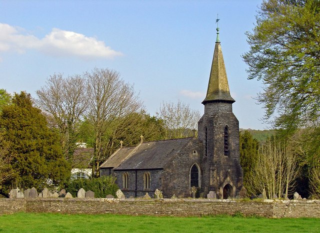
Betws Bledrws Church

The present church of St Bledrws, in the village of Betws Bledrws (sometimes spelt Bettws Bledrws), near Lampeter, Ceredigion, Wales, is a 19th-century...

Betws Bledrws

Betws Bledrws, is a village between Lampeter and Llangybi, Ceredigion, Wales that was also known as Derry Ormond when under the influence of Derry Ormond...

Caeau Llety-cybi

Caeau Llety-cybi is a Site of Special Scientific Interest in Ceredigion, west Wales. The lowland meadow site is managed by the Wildlife Trust of South...

Derry Ormond Tower

Derry Ormond Tower is a Grade II*-listed folly situated above Betws Bledrws, 3 miles (4.8 km) north of Lampeter in the county of Ceredigion, Wales. It...

Nearby Amenities

Located within 500m of 52.148522,-4.025323
Bench: yes
Leisure: picnic_table
Lat/Long: 52.1496434/-4.0226594
Toilets
Opening Hours Covid19: restricted
Lat/Long: 52.1498268/-4.0229722
Bench: yes
Leisure: picnic_table
Lat/Long: 52.1496877/-4.0225919
Direction: 175
Generator Method: photovoltaic
Generator Output Electricity: yes
Generator Solar Modules: 8
Generator Source: solar
Generator Type: solar_photovoltaic_panel
Location: roof
Power: generator
Lat/Long: 52.1497177/-4.0227753
Parking
Longwood
Capacity: 10
Surface: gravel
Lat/Long: 52.1497482/-4.0231293
Direction: 175
Generator Method: photovoltaic
Generator Output Electricity: yes
Generator Solar Modules: 6
Generator Source: solar
Generator Type: solar_photovoltaic_panel
Location: roof
Power: generator
Lat/Long: 52.149724/-4.0226638
The data included in this document is from www.openstreetmap.org. The data is made available under ODbL.

Have you been to Allt Cefn-foel?

Leave your review of Allt Cefn-foel below (or comments, questions and feedback).